The best walks and hikes in Steibis
4.6
(30222)
132,537
hikers
98
hikes
Hiking in Steibis presents a varied landscape, characterized by dense forests, cascading waterfalls, and prominent mountain features. The region, nestled in Oberstaufen, provides a network of trails across its diverse terrain, including the Imberg and Hochgrat mountains. Hikers can explore areas with significant elevation changes, as well as more gentle paths through natural features like the Buchenegg Waterfalls.
Best hiking trails in Steibis
- The most popular hiking route is Steibis – Buchenegg waterfalls, a 4.0 miles (6.5 km) trail that takes 1 hour 53 minutes to complete. This moderate route leads to impressive waterfalls within a natural forest setting.
- Another top favourite among local hikers is Alpine Adventure Trail on the Imberg, an easy 3.9 miles (6.4 km) path. This trail offers panoramic views from the Imberg mountain, suitable for various fitness levels.
- Local hikers also love the Steibis loop to the Dreiländerblick, a 4.8 miles (7.7 km) trail leading through varied terrain with distant mountain views, often completed in about 2 hours 20 minutes.
- Hiking in Steibis is defined by impressive waterfalls, panoramic mountain views, and diverse forest paths. The network offers options for easy family walks to more challenging alpine routes.
- The routes in Steibis are highly rated by the komoot community with an average score of 4.6 stars from over 7,000 reviews. More than 30,000 hikers have used komoot to explore Steibis's varied terrain.
Last updated: October 5, 2026
4.7
(957)
3,157
hikers
6.54km
01:54
150m
150m
Moderate hike. Great for any fitness level. Mostly accessible paths. Sure-footedness required.
4.7
(882)
2,927
hikers
6.50km
01:53
150m
150m
Moderate hike. Great for any fitness level. Mostly accessible paths. Sure-footedness required.

4.7
(469)
1,634
hikers
7.72km
02:20
250m
260m
Moderate hike. Good fitness required. Easily-accessible paths. Suitable for all skill levels.
4.7
(266)
1,072
hikers
6.35km
01:53
190m
190m
Easy hike. Great for any fitness level. Easily-accessible paths. Suitable for all skill levels.
4.7
(66)
226
hikers
9.78km
02:55
440m
440m
Moderate hike. Good fitness required. Mostly accessible paths. Sure-footedness required.
Get access to more routes and recommendations from other explorers.
Already have an account?
Our route recommendations are based on thousands of hikes, rides, and runs completed by other people on komoot.
Start today with a free account
Your next adventure awaits.
Popular around Steibis
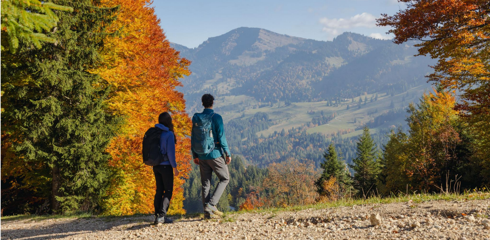
Autumn gold in the Allgäu – hiking around Oberstaufen
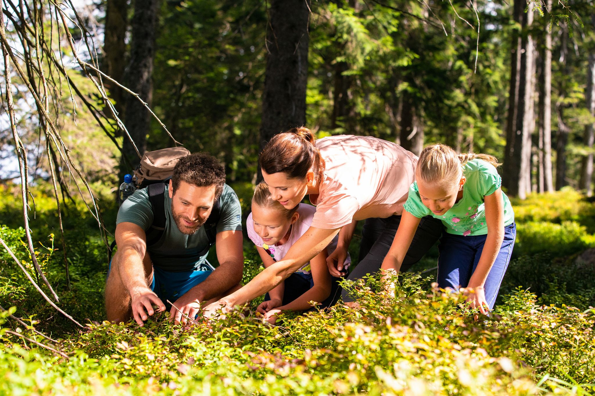
Detectives and summit baggers – family hikes around Oberstaufen
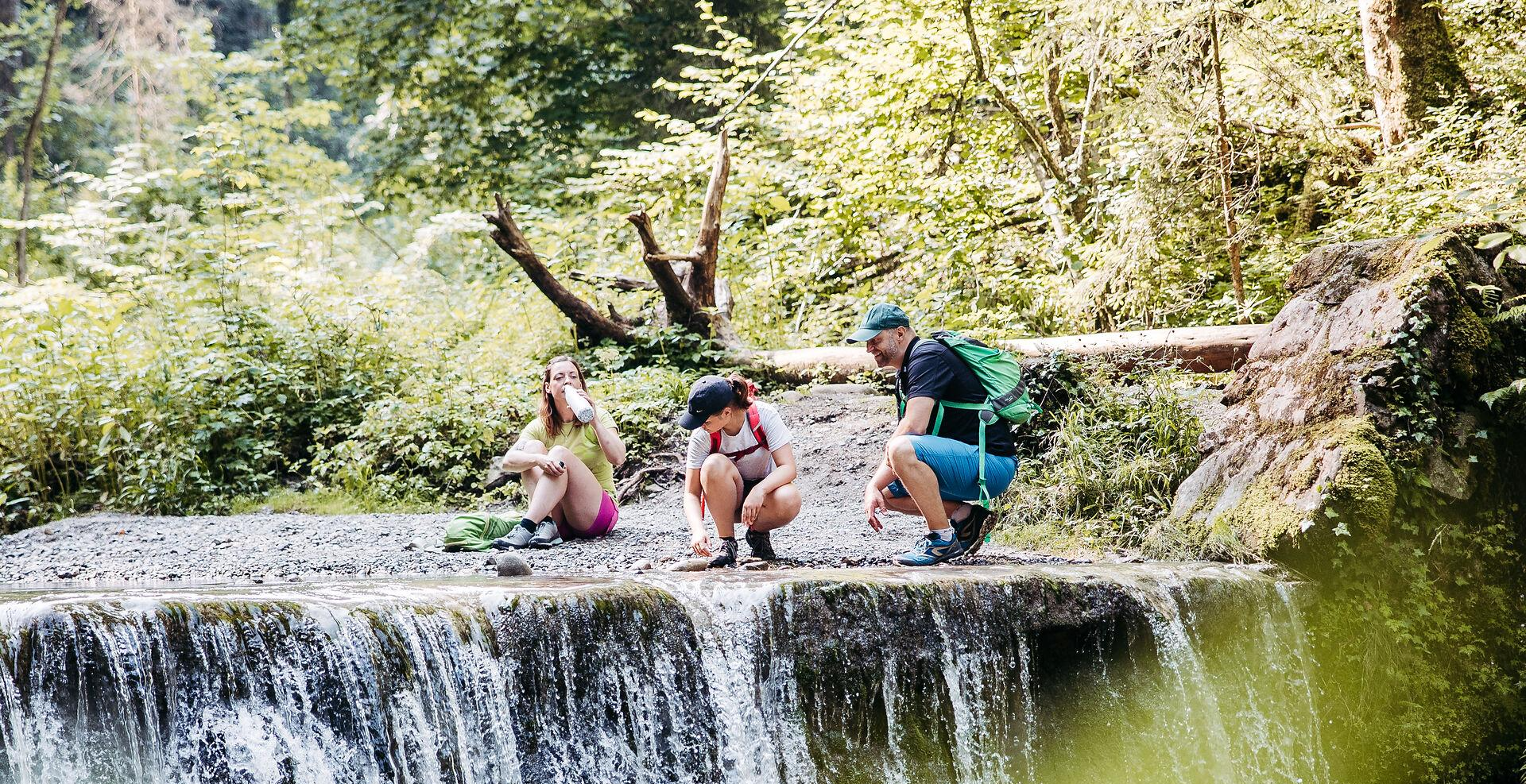
Westallgäuer Wasserwege
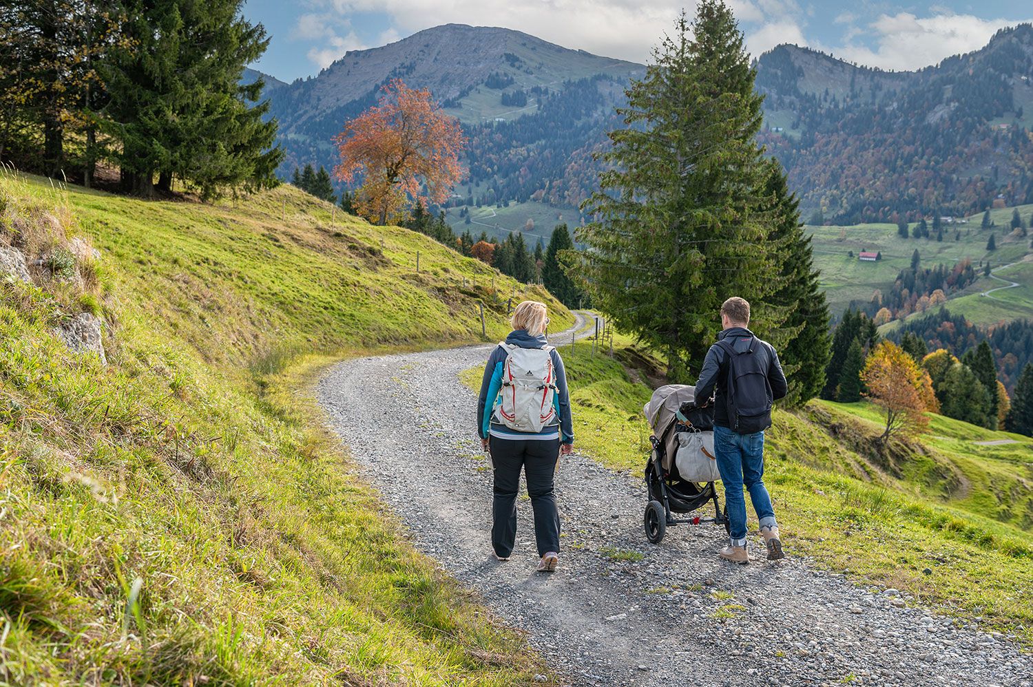
Die Kleinsten ganz oben - Kinderwagentaugliche Touren rund um Oberstaufen
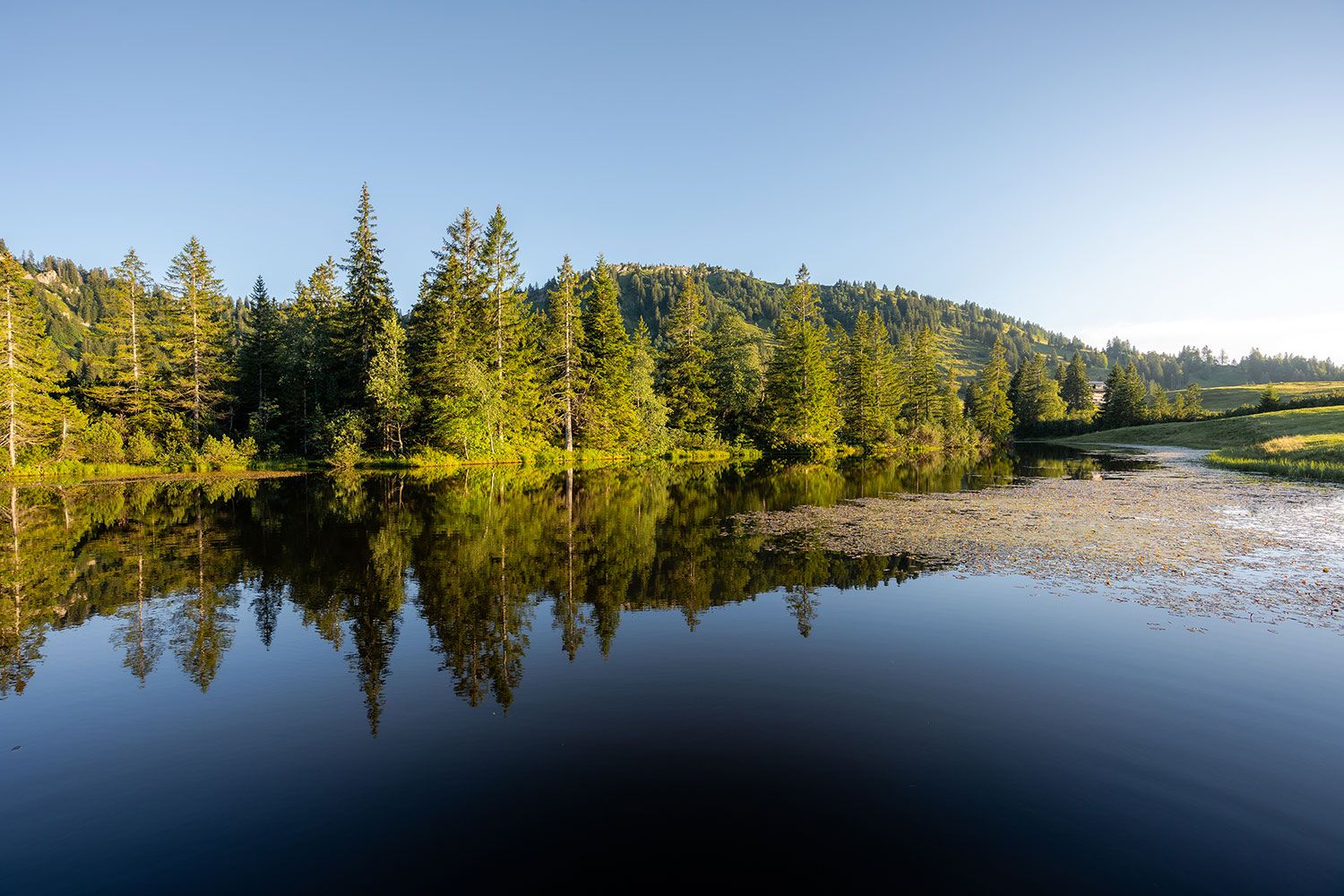
Sanft plätschernd bis tosend wild – erfrischende Wanderungen rund um Oberstaufen
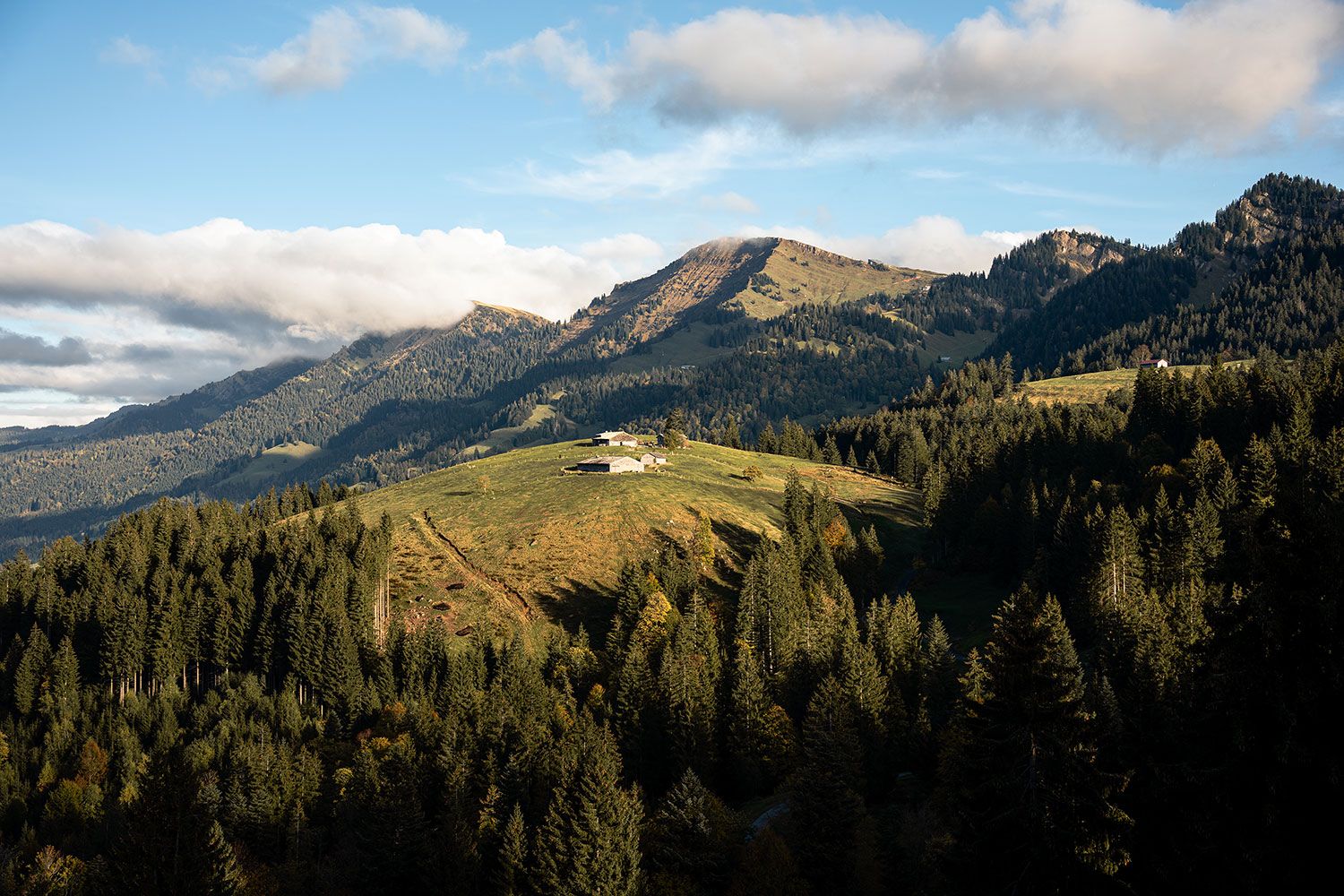
Die Natur zu Fuß erkunden – die 10 schönsten Wanderungen rund um Oberstaufen
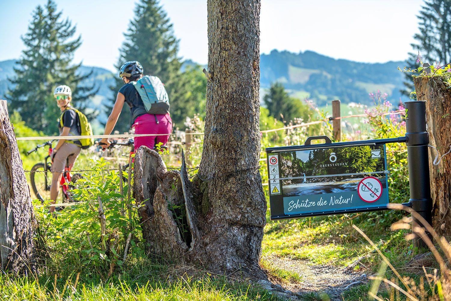
Mit Profil raus in die Natur – MTB-Touren Oberstaufen
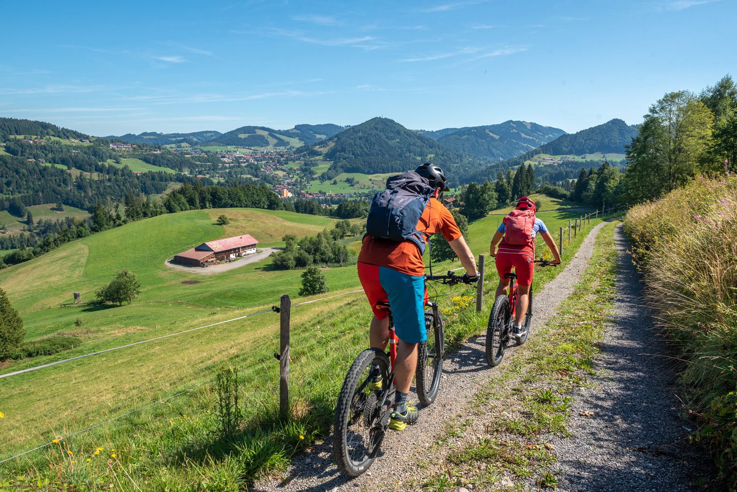
Mit Unterstützung geht es leichter – E-Bike-Touren Oberstaufen
Road Cycling Routes in Steibis
Cycling in Steibis
Other adventures in Steibis


Tips from the Community

Great view of the mountains and the valley from here.
0
0

Alp unfortunately no longer managed since 2025😞🤷♂️ "The alp is currently closed! As of 2025. As soon as information about a reopening or new operators is available, it will be added." https://share.google/DBFrc8vvw9TNBsgme
1
0

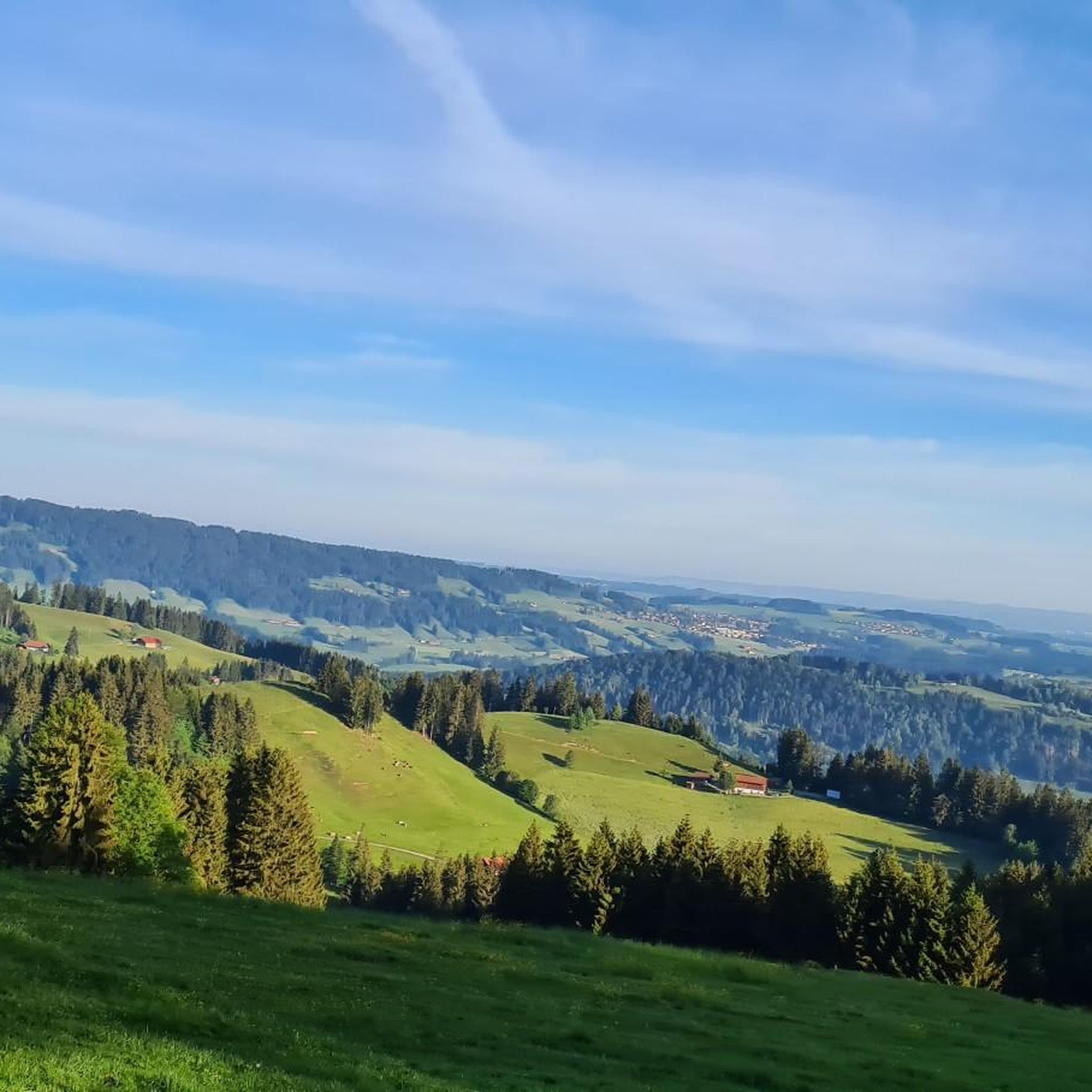
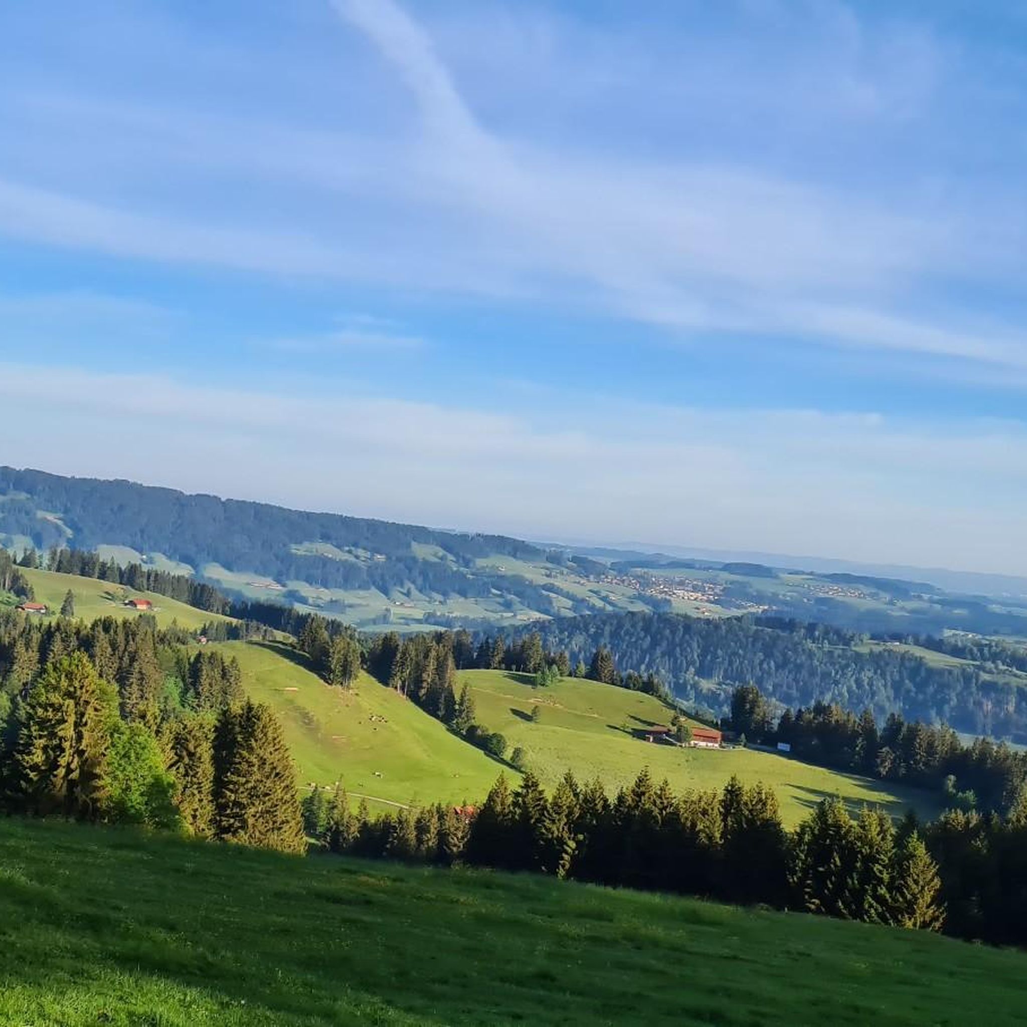
From here you have a fantastic view into the Weißachtal valley. The Weißach river rises west of Immenstadt, flows in its upper course through the Ehrenschwanger Tal valley, turns towards Oberstaufen and continues to the Austrian border, where it finally flows into the Bregenzer Ach. On its way, the river has carved the Buchenegger Waterfalls into the Nagelfluh rock.
2
0
Alpe Neugreuth is located above Steibis, in the middle of the Allgäu landscape panorama. If you walk from Steibis to the Buchenegger waterfalls, it is worth stopping at the cozy guesthouse. Drinks, homemade cakes, and hearty snacks are available on the terrace. A special feature is the own herb garden, whose ingredients give the dishes a fine note.
1
1

From here you have an impressive view of the Nagelfluh mountain range, whose peaks rise like a jagged wall on the horizon. On clear days, you can clearly see the individual mountains and trace their course across the valley. Ideal as a panoramic stop for a short break and a few photos.
5
0
The Vordere Fluh mountain inn is picturesquely situated above the valley and is a popular destination for hikers and families. A terrace, a playground, and the view of the Rhine valley make the inn a worthwhile resting point. It's best to check the opening hours in advance if you want to stop here.
5
0

Great, quiet area to relax. 😘
4
0

A wonderful place to stop by. Friendly hosts and good food.
1
0
Frequently Asked Questions
How many hiking trails are available in Steibis?
Steibis offers a wide variety of hiking experiences, with over 90 routes available. These trails cater to all levels, from easy strolls to challenging alpine ascents.
What types of terrain and difficulty levels can I expect when hiking in Steibis?
The terrain in Steibis is diverse, ranging from dense forests and gentle paths to rugged alpine landscapes with significant elevation changes. You'll find a good mix of difficulties: approximately 31 easy routes, 50 moderate routes, and 15 difficult routes, ensuring options for every fitness level and experience.
Are there any family-friendly hiking options in Steibis?
Yes, Steibis is well-suited for families, offering many easy walks. An excellent choice is the Alpine Adventure Trail on the Imberg, an easy 3.9-mile (6.4 km) path that provides panoramic views and is suitable for various fitness levels, including children.
Can I hike with my dog in Steibis?
Generally, dogs are welcome on hiking trails in Steibis. However, it's always recommended to keep your dog on a leash, especially in nature protection areas, near livestock, or in crowded spots, to ensure the safety and comfort of all hikers and local wildlife.
Are there any notable natural features or landmarks to see on hikes in Steibis?
Steibis boasts several impressive natural features. The Buchenegger Waterfalls are a highlight, with powerful cascades in a primeval forest setting. You can also enjoy panoramic views from the Hochgrat Summit or explore the beautiful lakeside environment of the nearby Great Alpsee.
Are there circular hiking routes in Steibis?
Yes, Steibis offers several excellent circular routes. A popular option is the Steibis loop to the Dreiländerblick, a 4.8-mile (7.7 km) trail with varied terrain and distant mountain views. For more ambitious hikers, the Hochgrat Summit Cross – Hochgrat Summit loop from Steibis provides a challenging, longer circular experience.
What is the best time of year to go hiking in Steibis?
Steibis is a fantastic hiking destination year-round. Spring and autumn offer pleasant temperatures and vibrant scenery, while summer provides lush green landscapes. Even in winter, the region transforms into a picturesque wonderland, with opportunities for winter hiking on designated trails.
Is winter hiking possible in Steibis?
Absolutely. Steibis is known for its extensive winter hiking opportunities. The Skiarena Steibis offers designated and panoramic winter hiking trails, and the Imbergbahn gondola can transport you to higher elevations for stunning snowy vistas. Good footwear is essential for winter conditions.
Where can I find parking for hiking trails in Steibis?
Parking is generally available at key access points for hiking trails in Steibis. Specific parking areas can often be found near the Imbergbahn and Hochgratbahn gondola stations, which serve as popular starting points for many routes. Look for designated parking signs in the village and at trailheads.
What do other hikers enjoy the most about hiking in Steibis?
The komoot community highly rates hiking in Steibis, with an average score of 4.6 stars from over 7,000 reviews. Hikers frequently praise the diverse landscapes, the impressive Buchenegg Waterfalls, and the panoramic mountain views from spots like the Imberg and Hochgrat.
Are there any cafes or restaurants along the hiking routes in Steibis?
While specific cafes directly on every trail may vary, the village of Steibis and areas around popular gondola stations like the Imbergbahn often have options for refreshments. Many routes also pass by traditional alpine huts (Alpen) where you can enjoy local food and drinks during your hike.
Most popular attractions in Steibis

Get inspired with the komoot mobile app


Explore more
Browse the best Hikes in other regions.
