The best walks and hikes around Cinte Tesino
4.5
(4287)
25,142
hikers
15
hikes
Hiking around Cinte Tesino offers diverse trails within the Tesino Valley, characterized by its mountainous landscape and proximity to the Lagorai mountain range. The region features a mix of forested slopes, open alpine pastures, and elevated paths leading to various summits. Hikers can expect routes with significant elevation changes, providing views of the surrounding peaks and valleys. The terrain primarily consists of well-maintained mountain paths and forest tracks.
Best hiking trails around Cinte Tesino
- The most popular hiking route is…
Last updated: September 27, 2026
4.7
(17)
102
hikers
10.4km
03:19
400m
410m
Hard hike. Good fitness required. Sure-footedness, sturdy shoes and alpine experience required.
11
hikers
10.7km
04:33
780m
780m
Hard hike. Good fitness required. Sure-footedness, sturdy shoes and alpine experience required.

4.0
(2)
8
hikers
7.16km
02:42
430m
430m
Moderate hike. Good fitness required. Mostly accessible paths. Sure-footedness required.
13.2km
05:36
660m
660m
Hard hike. Very good fitness required. Sure-footedness, sturdy shoes and alpine experience required.
4.4
(23)
73
hikers
8.99km
03:45
510m
510m
Moderate hike. Good fitness required. Mostly accessible paths. Sure-footedness required.
Get access to more routes and recommendations from other explorers.
Already have an account?
Our route recommendations are based on thousands of hikes, rides, and runs completed by other people on komoot.
Start today with a free account
Your next adventure awaits.
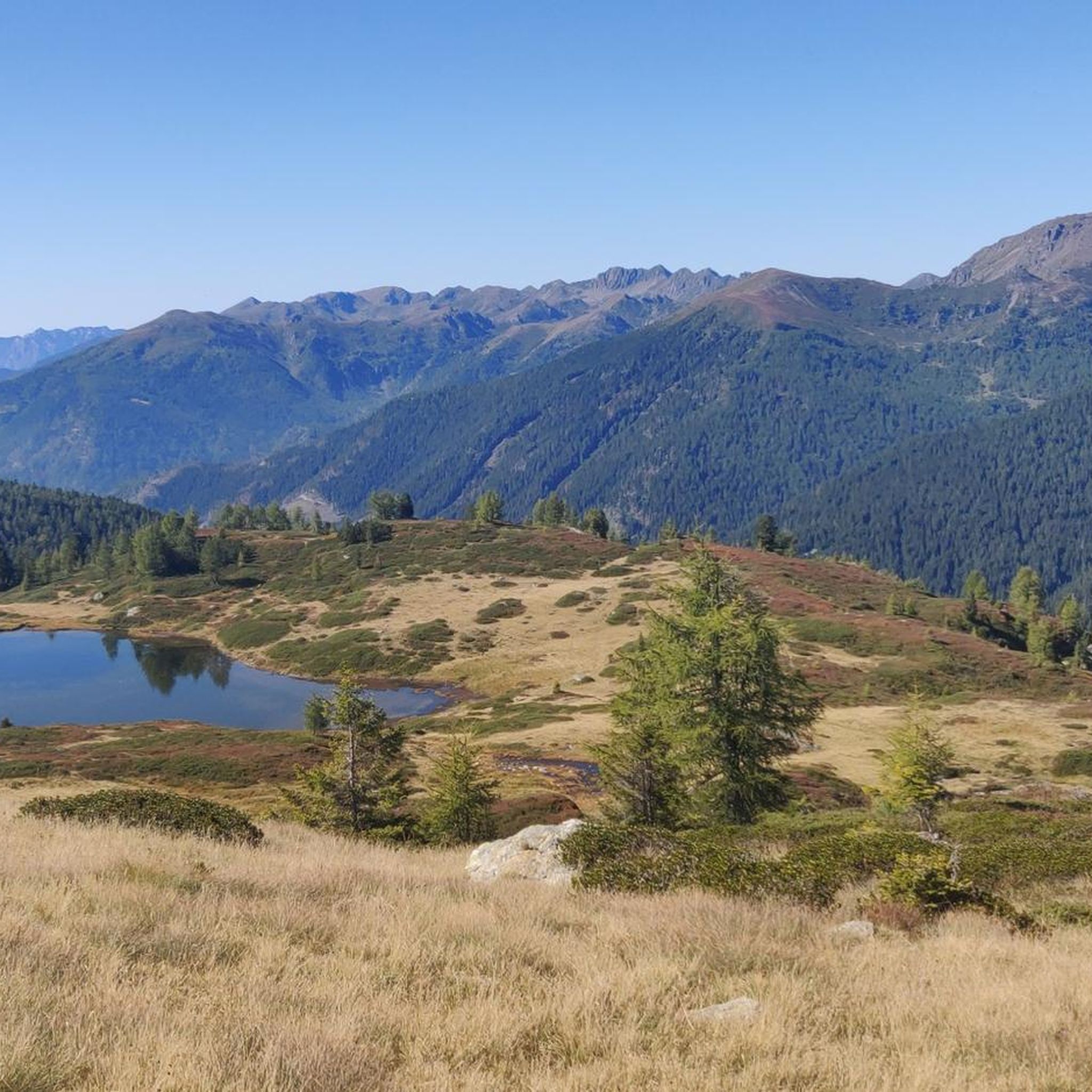
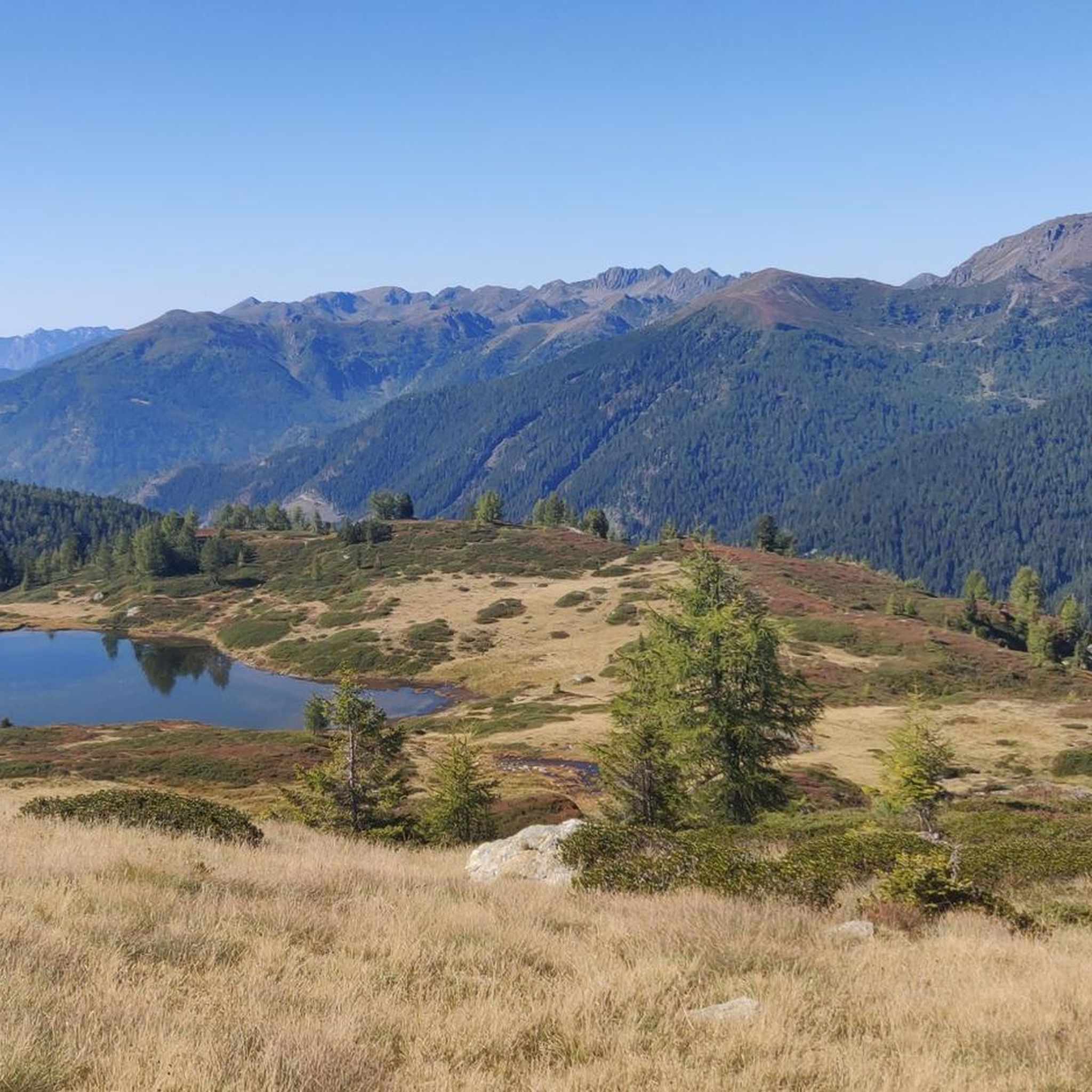
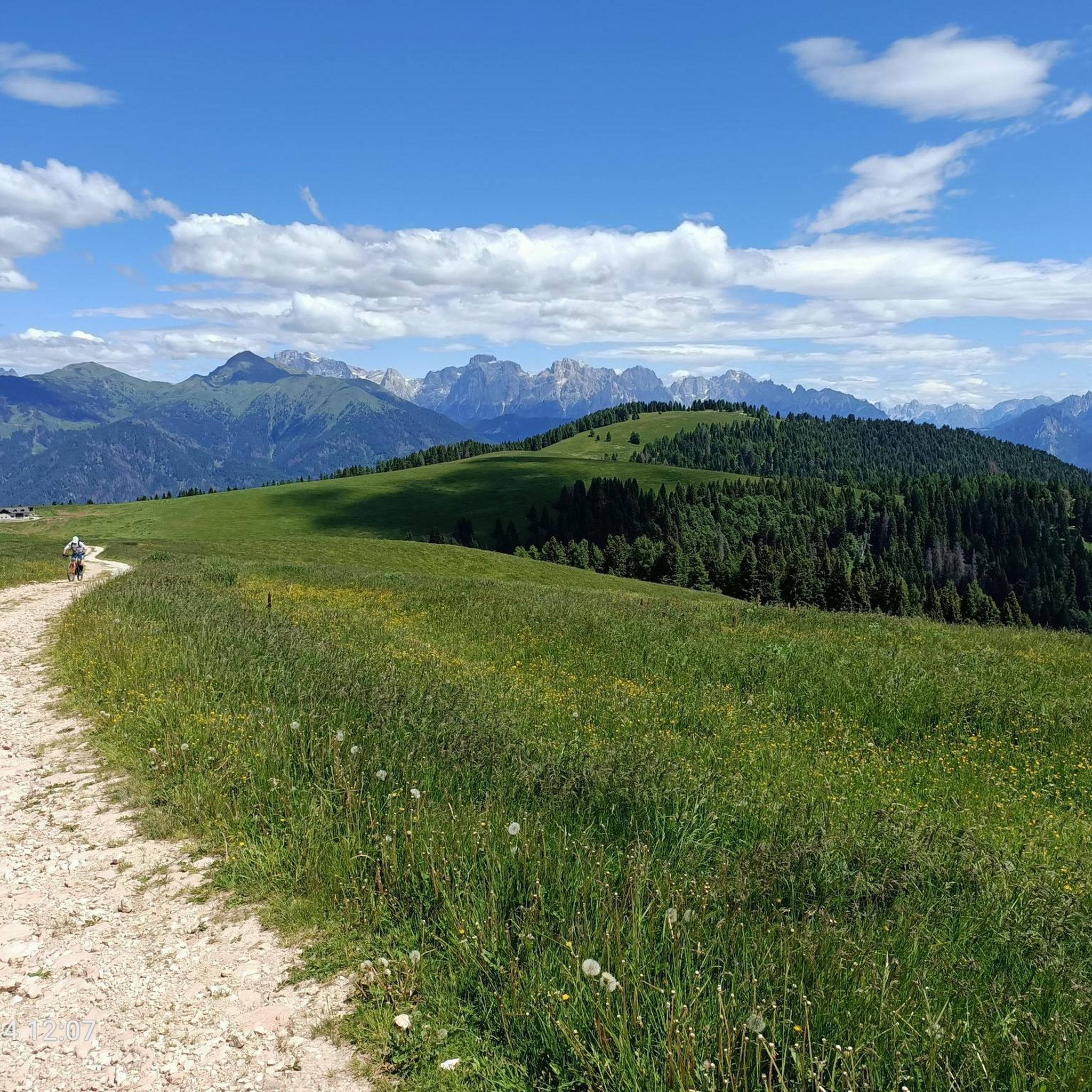
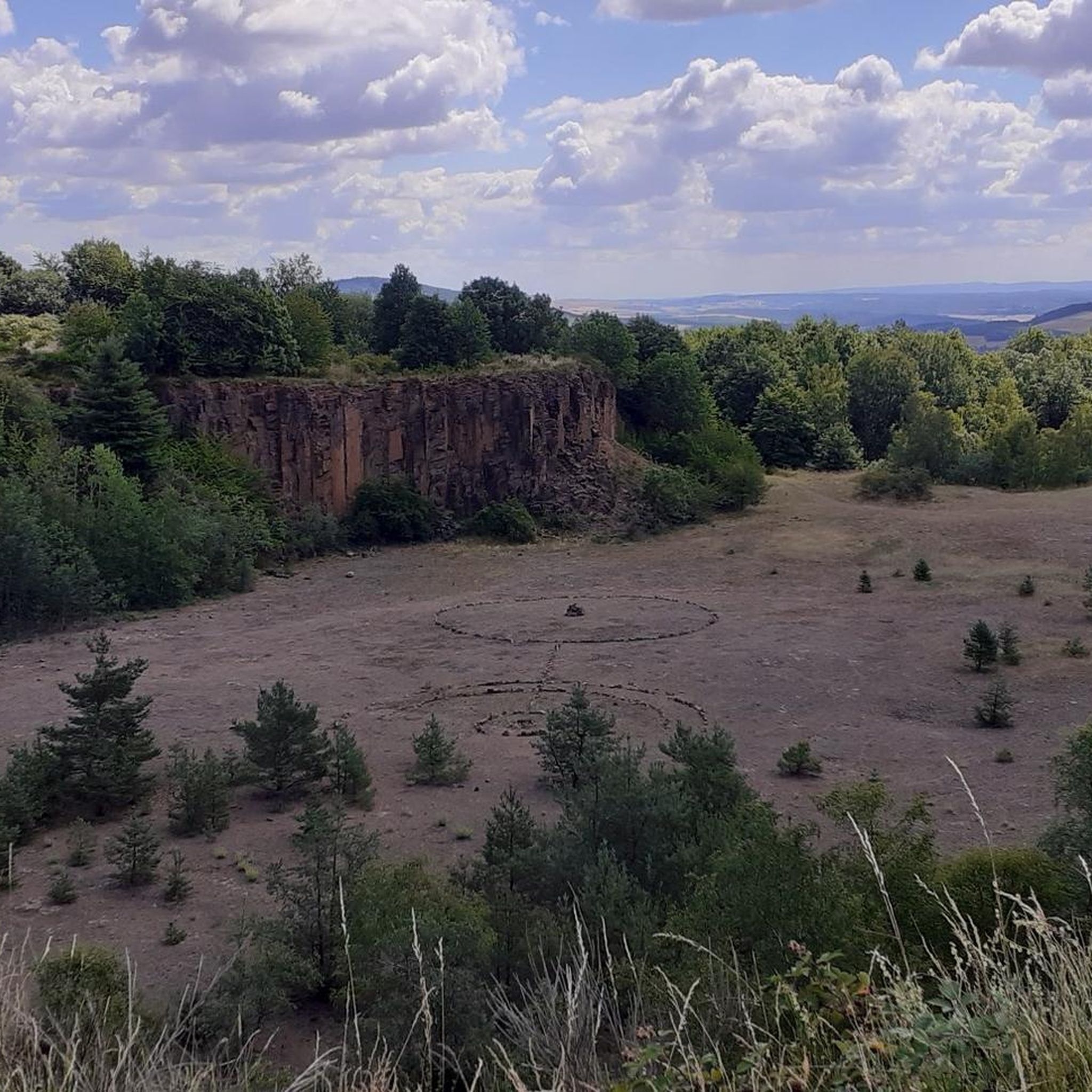
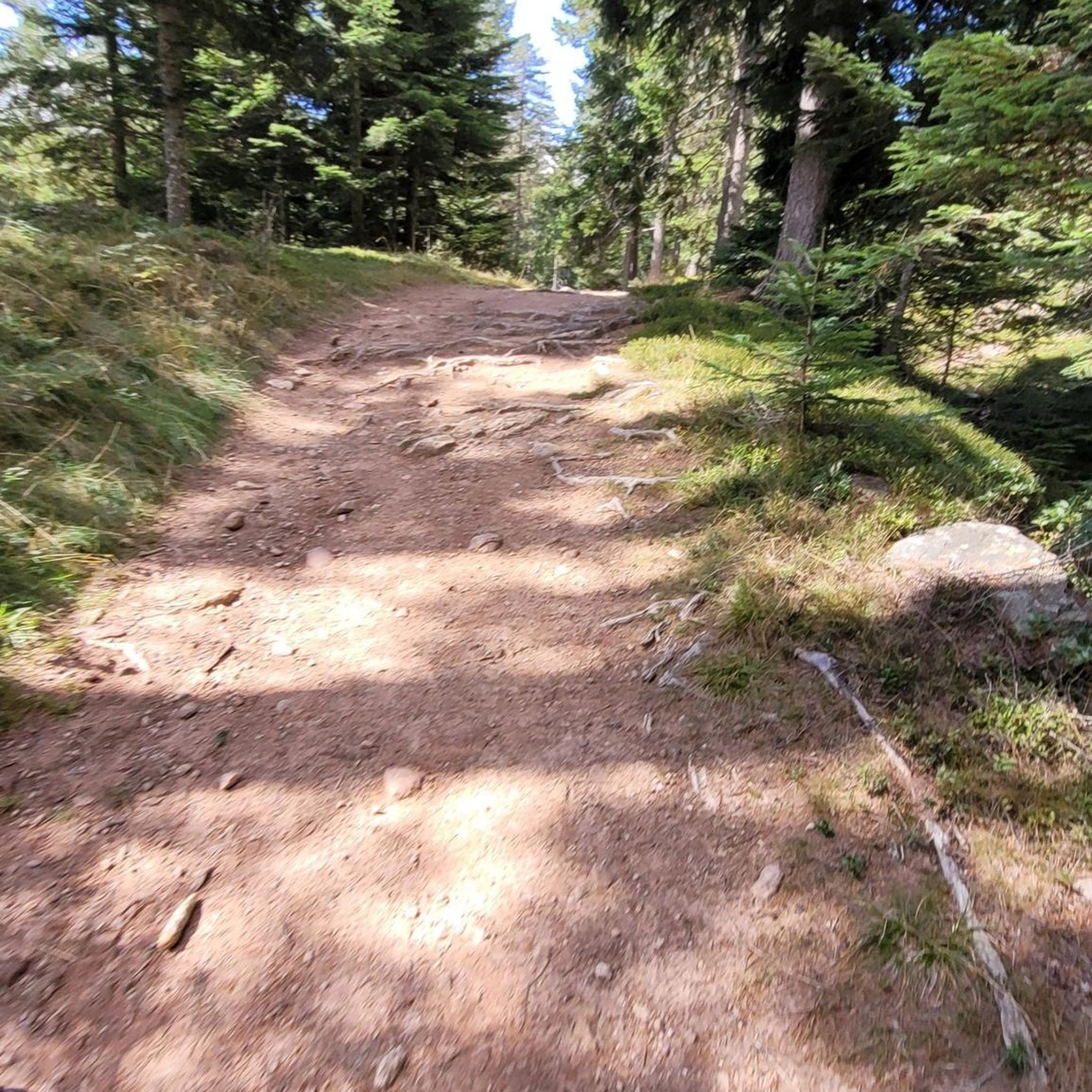
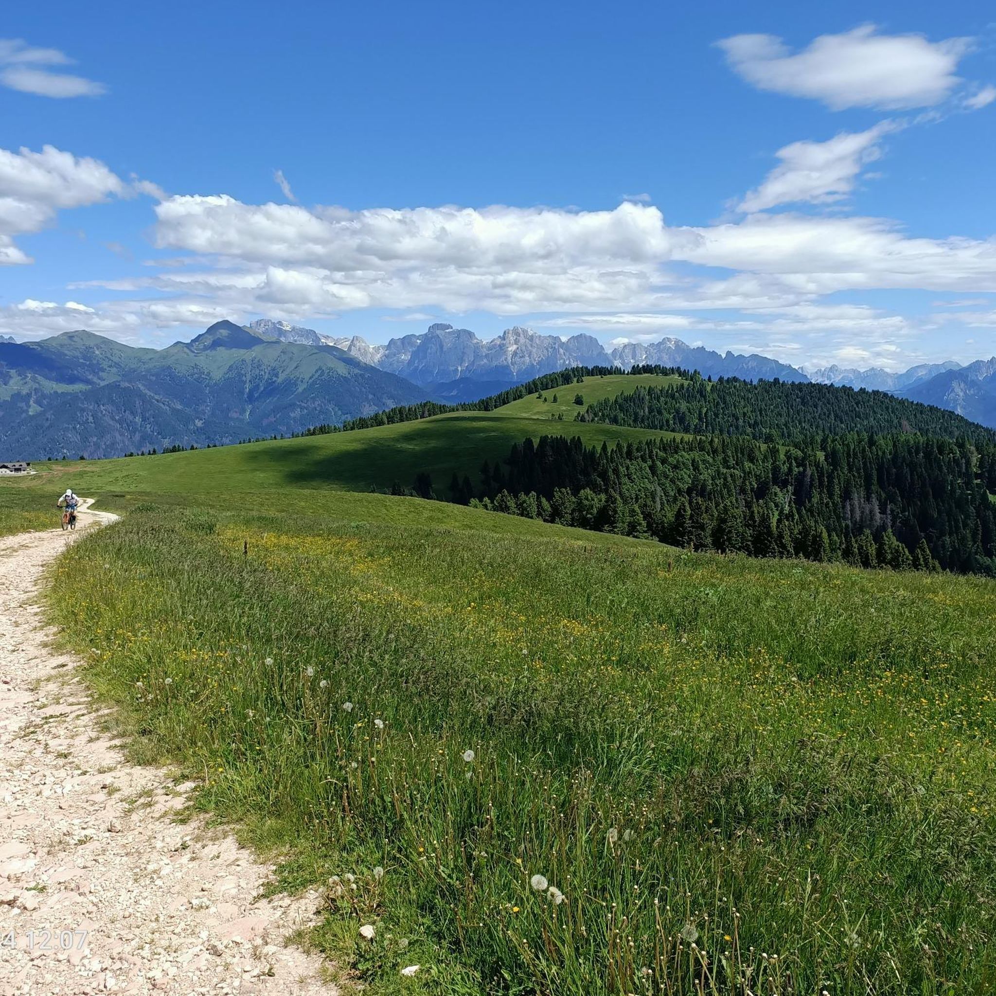
Tips from the Community

To be precise, Mount Coppolo, like its entire ridge, is entirely in Vicenza territory. The border passes 1 km further north.
0
0

Pass between the two slopes of the area.
1
0
From this point, the panorama stretches over the Pale di San Martino, Sagron and Vette Feltrine.
1
0
Beautiful ridge trail to admire the mountain blooms and the surrounding Dolomite peaks.
1
0
Passage crossing from the Tesino basin, arriving from Valsugana and the Primiero and Vanoi valleys. Environment rich in pastures and landscapes on the surrounding mountains.
0
0

Emergency bivouac built entirely from dry land. For a maximum of two people.
0
0

Starting from Canal San Bovo it is a climb of about 14km with constant gradients but never above 8%, with a few sections at 9%
1
0

Frequently Asked Questions
How many hiking trails are available around Cinte Tesino?
Cinte Tesino offers a variety of hiking experiences, with over 10 distinct routes available. These range from moderate ascents to more challenging, longer routes, catering to different skill levels.
Are there any easy or beginner-friendly hikes in Cinte Tesino?
Yes, Cinte Tesino has trails suitable for beginners. Out of the available routes, 2 are classified as easy, providing a gentle introduction to the region's beautiful landscapes. The area also features 4 moderate trails for those looking for a slightly longer or more varied experience without extreme difficulty.
What kind of terrain can I expect on hikes around Cinte Tesino?
The terrain around Cinte Tesino is characterized by its mountainous landscape within the Tesino Valley and proximity to the Lagorai mountain range. Hikers will encounter a mix of forested slopes, open alpine pastures, and elevated paths. Routes often feature significant elevation changes, offering panoramic views of the surrounding peaks and valleys. The paths are generally well-maintained mountain paths and forest tracks.
Are there any circular hiking routes in Cinte Tesino?
Yes, the region offers several circular routes. For example, the View of the Lagorai Mountains – Executioner's Pass loop from Passo Brocon is a moderate 9 km loop that allows you to experience the stunning mountain scenery without retracing your steps.
What attractions or landmarks can I see near the hiking trails?
Beyond the trails themselves, the Cinte Tesino area is rich in natural and historical points of interest. You can explore various caves, such as Grotta dell'acqua nera or Bus de la Bela. History enthusiasts might be interested in the Cima Caldiera Logistics Base Caves (World War I) or Quota 2093 / Biancardi Gallery WW1, offering a glimpse into the region's past. The Old Road of the Cismon Gorge also provides a unique natural and historical experience.
What do other hikers enjoy most about Cinte Tesino?
The hiking trails around Cinte Tesino are highly regarded by the komoot community, boasting an average rating of 4.5 stars from over 3,800 reviews. Hikers frequently praise the diverse mountain terrain, the challenging yet rewarding ascents to prominent summits like Monte Coppolo, and the stunning views of the Lagorai mountain range.
Are there any family-friendly hiking options in Cinte Tesino?
While many trails involve significant elevation, there are easier and moderate routes that can be suitable for families, depending on the children's age and experience. We recommend checking the difficulty ratings and distances of the easy and moderate trails to find the best fit for your family.
Can I hike with my dog in Cinte Tesino?
Generally, dogs are welcome on hiking trails in the Tesino Valley. However, it's always advisable to keep your dog on a leash, especially in areas with livestock or wildlife, and to check for any specific local regulations or protected areas that might have restrictions. Ensure you carry enough water for both yourself and your pet.
What is the typical duration of hikes in Cinte Tesino?
Hike durations vary significantly based on the trail's difficulty and length. For instance, the Monte Mezza Summit Trail typically takes around 2 hours 42 minutes, while more demanding routes like the Presa Trail can take over 4 hours to complete due to their significant elevation gain.
When is the best time of year to go hiking in Cinte Tesino?
The best time for hiking in Cinte Tesino is typically from late spring to early autumn (May to October), when the weather is milder and trails are clear of snow. During these months, you'll experience lush landscapes and comfortable temperatures. Winter hiking is possible but requires appropriate gear and experience, as higher elevation trails may be snow-covered and more challenging.
Are there opportunities for wild swimming after a hike?
The Tesino Valley, being a mountainous region, has various streams and natural pools. While specific designated wild swimming spots are not explicitly listed, local knowledge or further exploration might reveal suitable, refreshing spots in rivers or mountain lakes, especially during warmer months. Always exercise caution and check local conditions.
Where can I find parking for hiking trails in Cinte Tesino?
Parking is generally available at trailheads or in the vicinity of Cinte Tesino and other villages in the Tesino Valley. Many routes start from easily accessible points. It's advisable to check specific route descriptions or local signage upon arrival for the most convenient parking options.
Most popular routes around Cinte Tesino
Most popular attractions around Cinte Tesino

Get inspired with the komoot mobile app


Explore more
Browse the best Hikes in other regions.
