The best MTB trails around Valfloriana
4.4
(1567)
7,299
riders
167
rides
Mountain bike trails around Valfloriana are set within the Trentino region of northern Italy, at the southwestern end of Val di Fiemme. The area is characterized by its position within the Lagorai mountain range, featuring wild nature, rocky peaks, deep valleys, and extensive forests. The landscape includes a mix of dirt roads, forest paths, and mule tracks, with significant elevation changes. The Avisio River flows through the valley, contributing to the natural environment.
Best mountain bike trails around Valfloriana
- The…
Last updated: October 8, 2026
4.7
(7)
39
riders
21.7km
02:16
770m
770m
Moderate mountain bike ride. Good fitness required. Suitable for all skill levels.
4.0
(1)
4
riders
34.1km
03:58
1,390m
1,380m
Hard mountain bike ride. Very good fitness required. Advanced riding skills necessary.

4.4
(7)
49
riders
61.1km
06:02
2,030m
2,030m
Hard mountain bike ride. Very good fitness required. Advanced riding skills necessary.
4.5
(6)
24
riders
31.5km
03:17
1,150m
1,150m
Hard mountain bike ride. Very good fitness required. Advanced riding skills necessary.
4.9
(8)
36
riders
34.0km
03:56
1,340m
1,330m
Hard mountain bike ride. Very good fitness required. Advanced riding skills necessary.
Get access to more routes and recommendations from other explorers.
Already have an account?
Our route recommendations are based on thousands of hikes, rides, and runs completed by other people on komoot.
Start today with a free account
Your next adventure awaits.

Tips from the Community

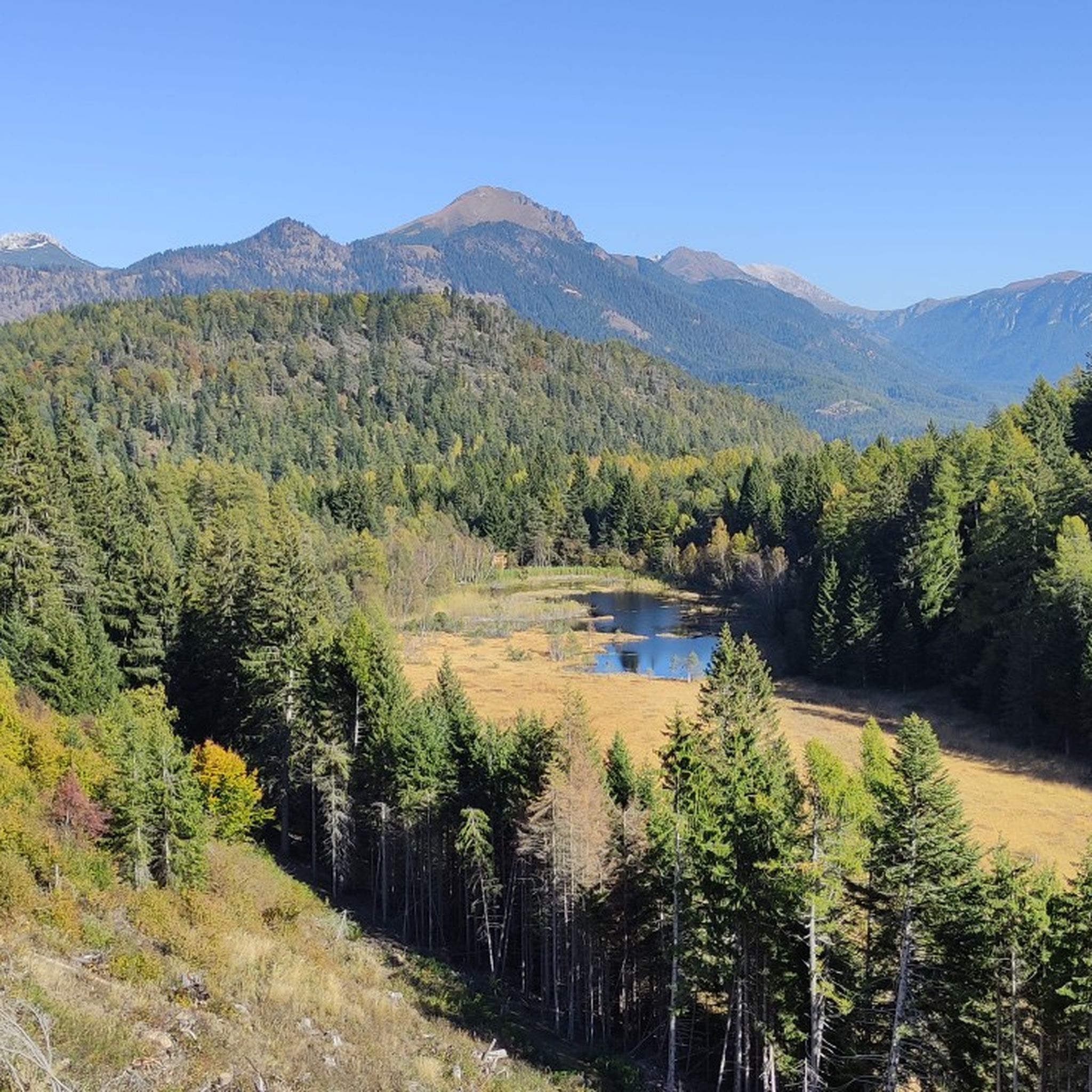
super high mountain lake, dark water because surrounded by fir trees
0
0

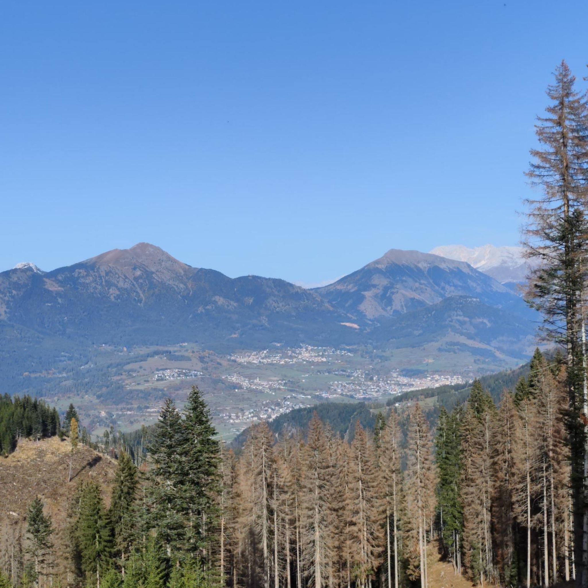
Beautiful view of the Trudner Horn.
0
0
Nice mountain bike trail.
0
0

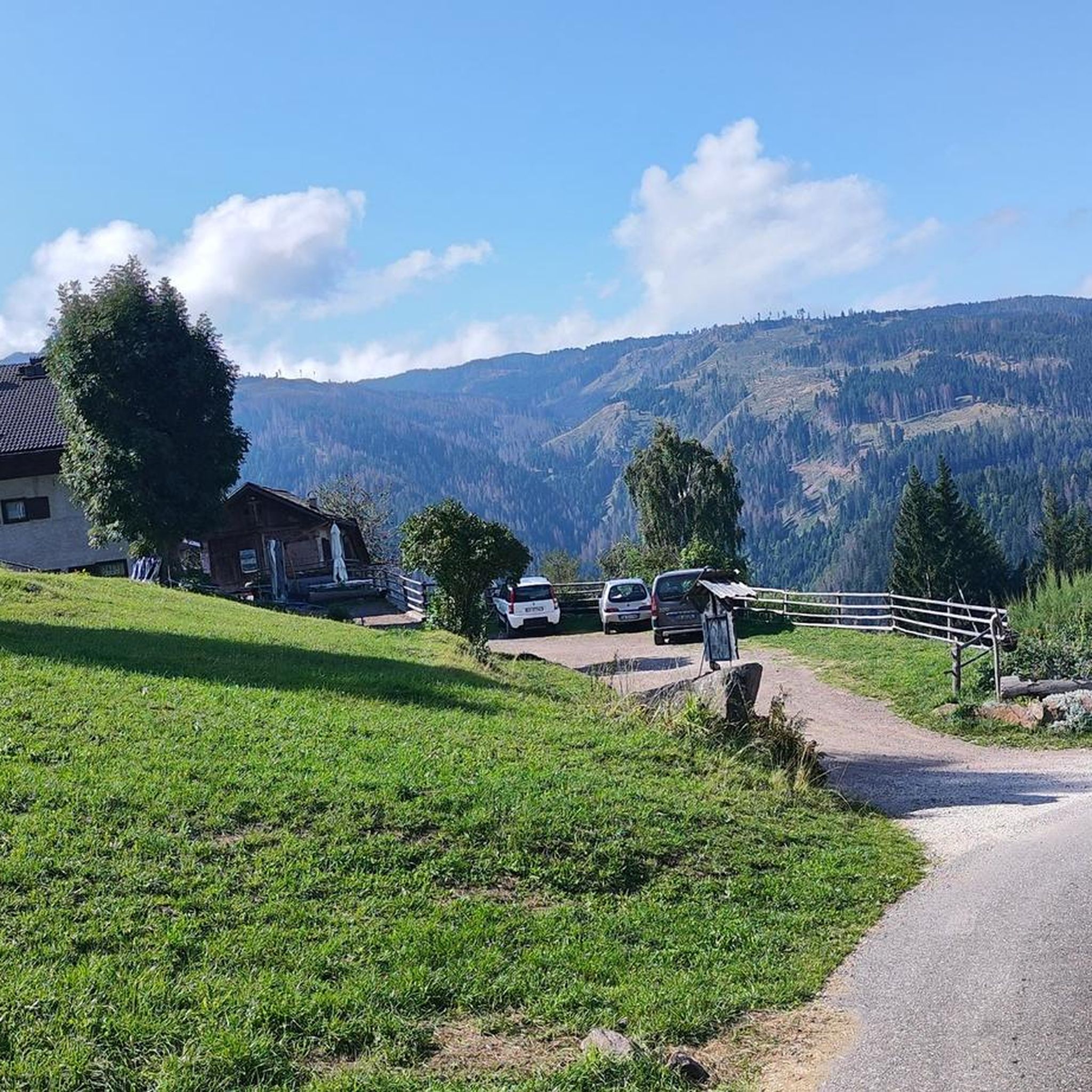
From here we have a beautiful view of Altrei.
1
0

Network of nature reserves Province of Trento. Beautiful observation tower and similar platform.
0
0


The end of the climb of the Ciclabile della Vecchia Ferrovia
0
0
Frequently Asked Questions
How many mountain bike trails are there in Valfloriana?
There are over 160 mountain bike trails around Valfloriana, offering a wide range of options for different skill levels. You'll find everything from easier rides to very challenging routes with significant elevation gain.
What kind of terrain can I expect on mountain bike trails in Valfloriana?
The terrain around Valfloriana is diverse, characterized by its position within the Lagorai mountain range. You can expect a mix of dirt roads, forest paths, and mule tracks. Many routes feature significant elevation changes, with some sections being rocky or stony, providing a true mountain biking experience.
Are there any easy mountain bike trails suitable for beginners in Valfloriana?
Yes, Valfloriana offers some easier mountain bike trails. There are 11 routes classified as easy, providing a good starting point for beginners or those looking for a more relaxed ride. These trails typically feature less technical terrain and more manageable elevation changes.
Can I find challenging mountain bike routes in Valfloriana?
Absolutely. Valfloriana is known for its challenging mountain bike routes, particularly within the Lagorai mountain range. There are 72 difficult trails available, often featuring substantial elevation gain and technical descents. An example is the Sentiero Italia Cycle Route: Monte Corno Loop, which covers 21.2 miles (34.1 km) with over 1300 meters of ascent.
Are there any loop mountain bike trails in Valfloriana?
Yes, many mountain bike trails in Valfloriana are designed as loops, allowing you to start and finish at the same point. For instance, the Anterivo Village and Pond – Oclini Pass loop from Capriana is a challenging 37.6 miles (60.5 km) route that takes you through the Lagorai mountain range.
What natural features or landmarks can I see along the mountain bike trails?
The trails often lead through extensive coniferous forests and alpine meadows, offering panoramic views of the Val di Fiemme and the surrounding Lagorai mountains. You might also encounter natural highlights such as the Schwarzenbach Waterfalls (Rio Nero Falls) or the Rio Val Moena Waterfall, which are accessible from some routes.
What is the best time of year for mountain biking in Valfloriana?
The best time for mountain biking in Valfloriana is typically during the warmer months, from late spring to early autumn (May to October). During this period, the trails are generally free of snow, and the weather conditions are more favorable for outdoor activities, allowing you to fully enjoy the alpine scenery.
Are there any family-friendly mountain bike trails in Valfloriana?
While many trails in the Lagorai region are quite demanding, there are easier routes that can be suitable for families with some mountain biking experience. Look for the 11 easy-rated trails, which tend to have less technical sections and more gentle gradients, making them more accessible for a family outing.
What do other mountain bikers enjoy most about mountain biking in Valfloriana?
The mountain bike trails around Valfloriana are highly rated by the komoot community, with an average score of 4.5 stars from over 1,300 reviews. Riders often praise the wild, unspoiled nature of the Lagorai mountain range, the diverse terrain, and the tranquil atmosphere that allows for an immersive outdoor experience.
Is there public transport available that accommodates bikes in Valfloriana?
While specific details for Valfloriana are limited, the broader Trentino region is increasingly bike-friendly. It's advisable to check local public transport services, such as buses or regional trains, for their bike transport policies and schedules, especially during peak season. Some services may require prior booking or have restrictions on bike size.
Where can I find parking for mountain biking trailheads in Valfloriana?
Parking is generally available in and around the villages of Valfloriana and at common starting points for trails. It's recommended to check specific trailhead information or local signage upon arrival, as designated parking areas can vary. Many routes, like those starting from Capriana, will have accessible parking options.
Are there any mountain bike trails that offer scenic viewpoints?
Yes, many trails in Valfloriana provide breathtaking panoramic views, especially as you gain elevation within the Lagorai mountain range. The region's dramatic rocky peaks and deep valleys ensure numerous opportunities for stunning vistas of the surrounding landscape and the Val di Fiemme.
Most popular routes around Valfloriana
Most popular attractions around Valfloriana

Get inspired with the komoot mobile app


Explore more
Browse the best MTB trails in other regions.
