The best MTB trails around Cartoceto
4.5
(22)
207
riders
24
rides
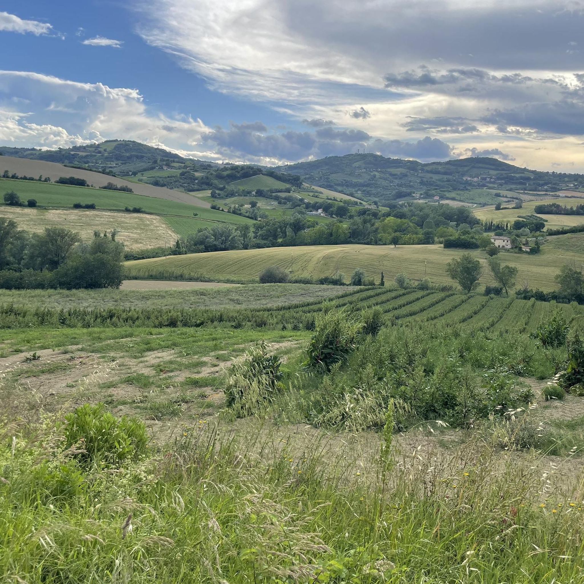
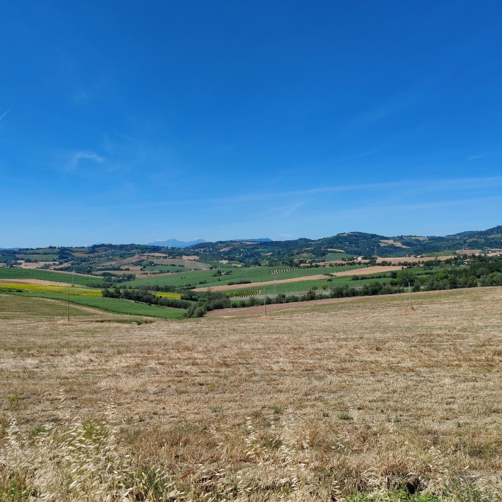
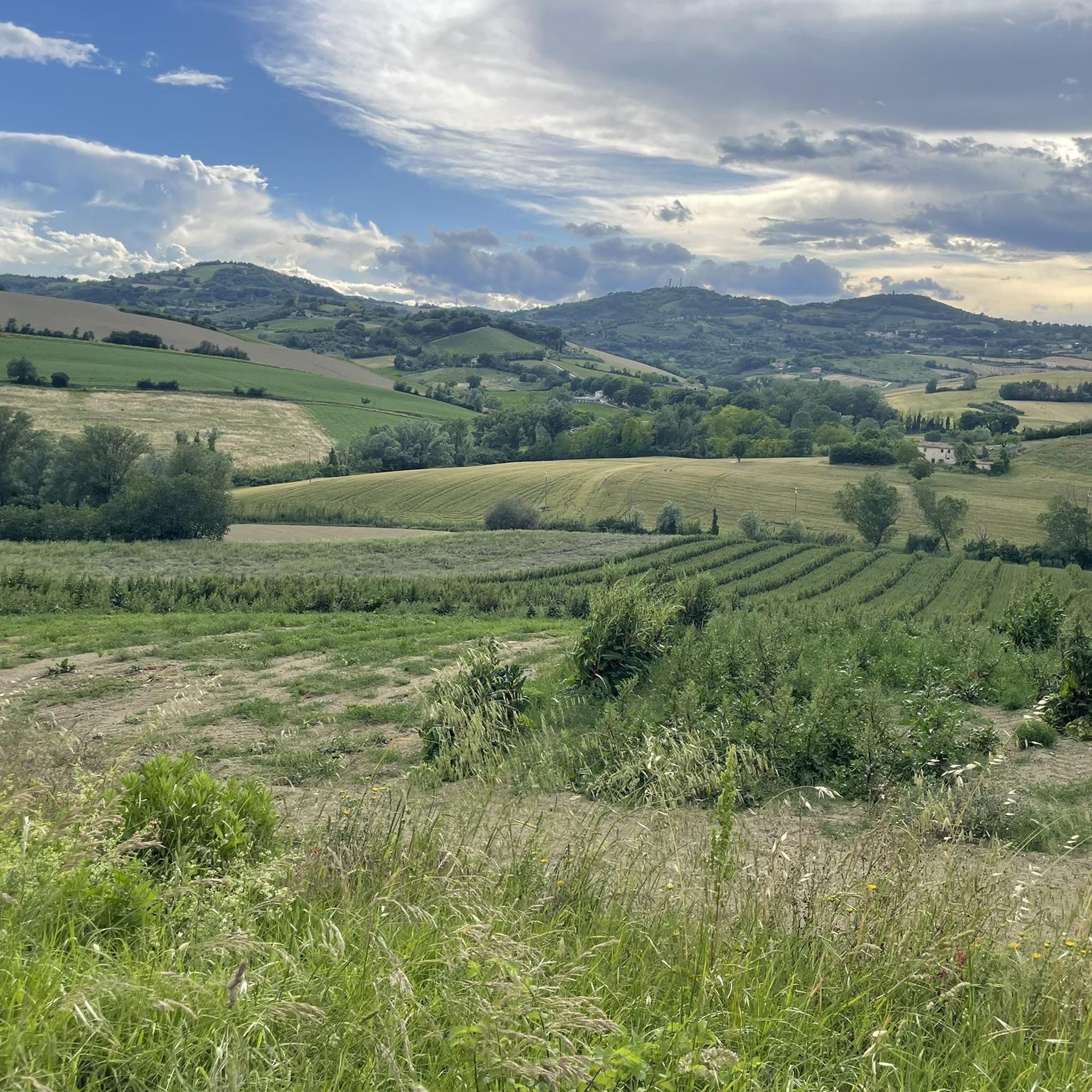
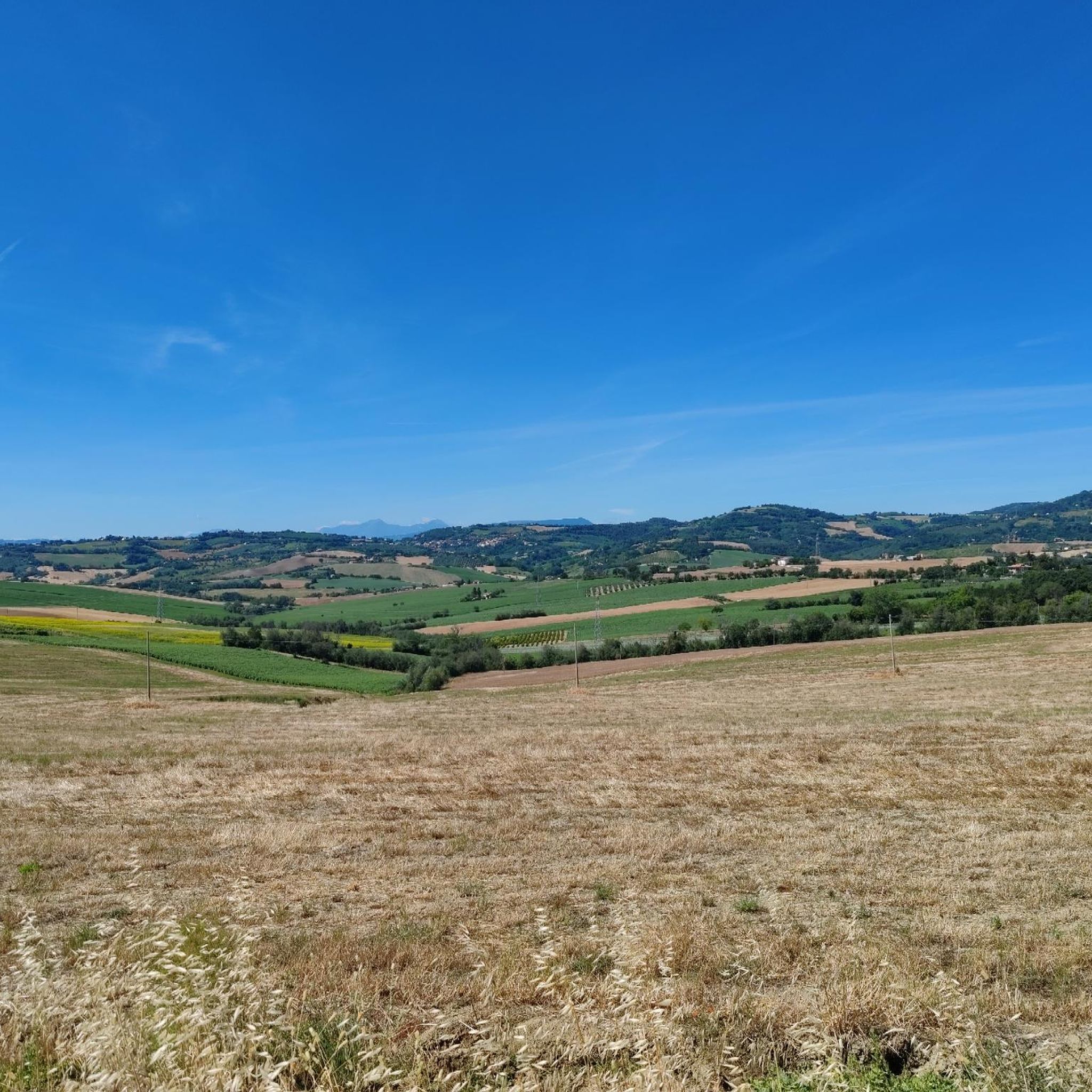
Mountain biking around Cartoceto offers diverse landscapes within Italy's Marche region, particularly in the Metauro Valley. The terrain features gentle hills, extensive olive groves, and vineyards, with a mix of clay and sandy soils. Pockets of woodlands, especially near Ripalta and along the Metauro River, provide varied environments for trails. This blend of cultivated land and natural features creates a distinct setting for mountain biking.
Best mountain bike trails around Cartoceto
- The most popular mountain bike trail is Cartoceto Town…
Last updated: June 29, 2026
4.5
(4)
31
riders
41.9km
03:04
760m
760m
Moderate mountain bike ride. Good fitness required. Suitable for all skill levels.
5.0
(1)
22
riders
56.3km
05:02
1,240m
1,240m
Hard mountain bike ride. Very good fitness required. Advanced riding skills necessary. Some portions of the route may require you to push your bike.

Sign up for free
4.0
(1)
19
riders
56.8km
03:18
500m
500m
Moderate mountain bike ride. Good fitness required. Suitable for all skill levels.
5.0
(1)
15
riders
44.8km
03:33
780m
780m
Hard mountain bike ride. Good fitness required. Advanced riding skills necessary. Some portions of the route may require you to push your bike.
4.0
(2)
11
riders
32.6km
02:16
530m
530m
Moderate mountain bike ride. Good fitness required. Suitable for all skill levels.
Get access to more routes and recommendations from other explorers.
Sign up for free
Already have an account?
Our route recommendations are based on thousands of hikes, rides, and runs completed by other people on komoot.
Start today with a free account
Your next adventure awaits.
Login or Signup
Tips from the Community

🚪 Porta di Mombaroccio The Porta di Mombaroccio represents one of the historic entrances to the medieval village of Mombaroccio, still preserving the charm of ancient defensive structures today. Built as part of the walled system, the gate had a strategic function: to control access to the town and protect the inhabitants from potential attacks. Travelers, merchants, and pilgrims passed through this passage, making the village a connecting point between the surrounding valleys. The structure, simple but solid, testifies to the typical architecture of the fortified centers in the Marche region, where functionality and defense were essential elements. ✨ Today the gate is a symbol of welcome and historical memory: crossing it means entering a place where time seems to have stood still, amidst alleys, walls, and still-living traditions.
0
0
⛪ Santuario del Beato Sante The Sanctuary of Beato Sante is located in a panoramic position on the Marche hills, a short distance from the village of Mombaroccio. Immersed in nature, it has been a place of silence, prayer, and pilgrimage for centuries. The sanctuary is dedicated to Beato Sante Brancorsini, a 14th-century Franciscan friar born in Mombaroccio. After embracing a life of poverty and spirituality, he retired as a hermit on the nearby Monte della Croce, living in contemplation. After his death in 1392, the fame of his sanctity spread rapidly among the population, giving rise to strong popular devotion. Over time, the sanctuary arose on the site of his hermit life, which still houses his relics today. ✨ Today, the sanctuary represents a spiritual and cultural landmark, capable of welcoming pilgrims and visitors in an atmosphere of peace and recollection.
0
0

Very beautiful historic village, worth visiting if you are passing through
1
0

Start of the route through the beautiful Furlo gorge
1
0


Point of extreme charm. Mandatory stop!
1
0

At the crossroads it is much more interesting to continue towards San Piero in Tambis, downhill towards Fossombrone on a dirt road and asphalt in the lower part, very very beautiful!
0
0
Frequently Asked Questions
What kind of terrain can I expect on mountain bike trails around Cartoceto?
The mountain bike trails around Cartoceto traverse a varied landscape within the Metauro Valley. You'll encounter gentle hills, extensive olive groves, and vineyards, with a mix of clay and sandy soils. There are also pockets of woodlands, particularly near Ripalta and along the Metauro River, providing diverse environments for riding. Many routes feature scenic "Strada Bianca" (white road) sections, which are unpaved and offer a classic Italian off-road experience.
What are the difficulty levels of mountain bike trails in Cartoceto?
Cartoceto offers a range of mountain bike trails suitable for different skill levels. Out of 28 available routes, 5 are considered easy, 17 are moderate, and 6 are more difficult. This means you can find options whether you're looking for a relaxed ride or a more challenging adventure.
Are there any family-friendly mountain bike trails in Cartoceto?
Yes, Cartoceto has several easy mountain bike trails that are suitable for families. These routes generally feature less challenging terrain and elevation, allowing for a more relaxed experience for riders of all ages and abilities. Look for trails marked as 'easy' on komoot to find the best options for a family outing.
What are some notable natural features or scenic points along the trails?
The region is rich in natural beauty. You'll find expansive olive groves and vineyards, and riparian forests along the Metauro River. Some routes, like the Furlo Gorge – Furlo Iron Bridge loop from Lucrezia, lead through the notable Furlo Gorge. For breathtaking views, consider visiting the Summit with great view to adriática sea, which offers sweeping panoramas.
Are there any circular mountain bike routes available in Cartoceto?
Yes, many of the mountain bike routes in Cartoceto are circular, offering convenient starting and ending points. Examples include the popular Cartoceto Town Center – Panoramic White Road loop from Lucrezia and the Panoramic White Road – Sanctuary of Beato Sante loop from Lucrezia. These loops allow you to experience diverse landscapes without retracing your steps.
What historical or cultural attractions can I explore near the mountain bike trails?
Cartoceto itself is a charming medieval village with a well-preserved historic center. You can visit Piazza Garibaldi, the 14th-century Palazzo del Popolo, and the Teatro del Trionfo. Religious sites like the Collegiata di Santa Maria della Misericordia are also nearby. For a taste of local heritage, Cartoceto is renowned for its DOP olive oil, and you might find opportunities to visit olive mills, especially during autumn. Other nearby attractions include the Arch of Augustus (Arco d'Augusto), Fano and the Fontana della Fortuna, Piazza XX Settembre.
What do other mountain bikers say about the trails in Cartoceto?
The mountain bike trails around Cartoceto are highly regarded by the komoot community, holding an average rating of 4.4 stars from over 30 reviews. Riders often praise the diverse landscapes, the scenic 'Strada Bianca' sections, and the variety of routes suitable for different abilities.
Is there parking available near the mountain bike trailheads?
While specific parking information for every trailhead isn't detailed, many routes, such as those starting from Lucrezia, are designed with accessibility in mind. It's common to find parking options in or near the starting villages or designated recreational areas. We recommend checking the individual route details on komoot for specific parking suggestions.
Can I reach the mountain bike trails using public transport?
Cartoceto is situated in the Marche region, and while public transport options exist, they might not directly serve every trailhead. Larger towns like Fano or Pesaro, which are well-connected, could serve as hubs. From there, local bus services or a short taxi ride might be necessary to reach specific starting points. Planning your journey in advance is advisable.
What is the best time of year to go mountain biking in Cartoceto?
The spring and autumn months generally offer the most pleasant conditions for mountain biking in Cartoceto. During these seasons, the weather is typically mild, and the landscapes are particularly vibrant with blooming flowers or rich autumn colors. Summer can be hot, especially in the middle of the day, while winter might bring cooler temperatures and potentially wet conditions, though the region generally experiences mild winters.
Are dogs allowed on the mountain bike trails in Cartoceto?
Many trails in natural areas across Italy are dog-friendly, especially if dogs are kept on a leash. Given the rural and natural character of the Cartoceto area, it's likely that well-behaved dogs are welcome on most mountain bike trails. However, always ensure your dog is under control and respect any local signage regarding pet regulations, especially in cultivated areas or near wildlife.
Are there any places to eat or drink near the mountain bike routes?
Cartoceto and its surrounding villages offer charming local establishments where you can refuel. The historic center of Cartoceto, for example, has cafes and restaurants. Given the region's culinary heritage, you'll likely find opportunities to enjoy local cuisine and refreshments in towns and villages along or near the routes.
Most popular routes around Cartoceto
Most popular attractions around Cartoceto

Get inspired with the komoot mobile app


Explore more
Browse the best MTB trails in other regions.
