The best walks and hikes around Schindhard
4.6
(2335)
9,261
hikers
19
hikes
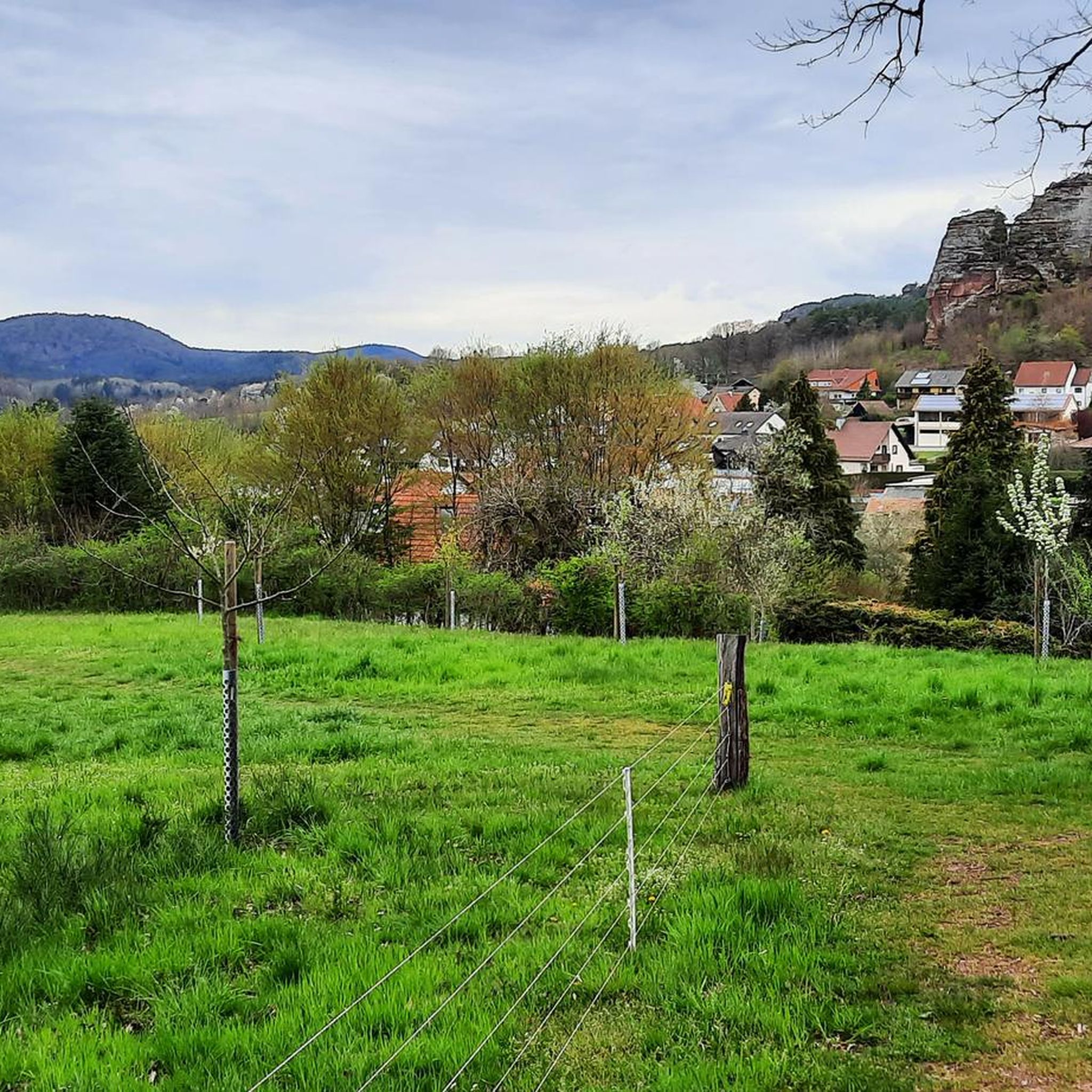
Hiking around Schindhard provides access to diverse landscapes within the Southwest Palatinate region, bordering the Palatinate Forest. The area is characterized by rolling hills, dense woodlands, and unique sandstone formations. These features create varied terrain suitable for different hiking experiences.
Best hiking trails around Schindhard
- The most popular hiking route is Löffelsberg Ridge Trail – Löffelbergfels Rock Arch loop from Schindhard, a 7.0 miles (11.3 km) trail that takes 3 hours 18 minutes to complete. This moderate route features a prominent rock arch and ridge sections.
- Another top favourite among local hikers is Pferchsfeld Rocks – Kühhungerfelsen Viewpoint loop from Schindhard, a difficult 8.2 miles (13.2 km) path. This trail leads through notable rock formations and offers panoramic views from the Kühhungerfelsen.
- Local hikers also love the Eichelberg Viewpoint – Kreuzeckfelsen Viewpoint loop from Schindhard, a 3.2 miles (5.1 km) trail leading through the Eichelberg area, often completed in about 1 hour 31 minutes.
- Hiking around Schindhard is defined by rolling hills, dense forests, and unique sandstone formations. The network offers options for easy strolls to more challenging treks.
- The routes in Schindhard are highly rated by the komoot community with an average score of 4.7 stars from over 2,100 reviews. More than 8,900 hikers have used komoot to explore Schindhard's varied terrain.
Last updated: July 4, 2026
5.0
(13)
28
hikers
13.2km
03:58
390m
390m
Hard hike. Good fitness required. Sure-footedness, sturdy shoes and alpine experience required.
4.7
(9)
30
hikers
11.3km
03:18
310m
310m
Moderate hike. Good fitness required. Easily-accessible paths. Suitable for all skill levels.

Sign up for free
4.6
(5)
30
hikers
Moderate hike. Good fitness required. Mostly accessible paths. Sure-footedness required.
4.8
(18)
63
hikers
5.12km
01:31
110m
110m
Moderate hike. Great for any fitness level. Mostly accessible paths. Sure-footedness required.
4.6
(8)
24
hikers
3.82km
01:13
150m
150m
Easy hike. Great for any fitness level. Easily-accessible paths. Suitable for all skill levels.
Get access to more routes and recommendations from other explorers.
Sign up for free
Already have an account?
Our route recommendations are based on thousands of hikes, rides, and runs completed by other people on komoot.
Start today with a free account
Your next adventure awaits.
Login or Signup

Tips from the Community

The view of the castle massif is so spectacular! Definitely worth seeing!
0
0


This parking lot is called “Hexenplatz” because according to local legend it was a meeting place for witches and the devil. It is said that witches used to meet here for secret meetings and festivals, especially on Walpurgis Night. 🧙🧙♀️🧙
2
0
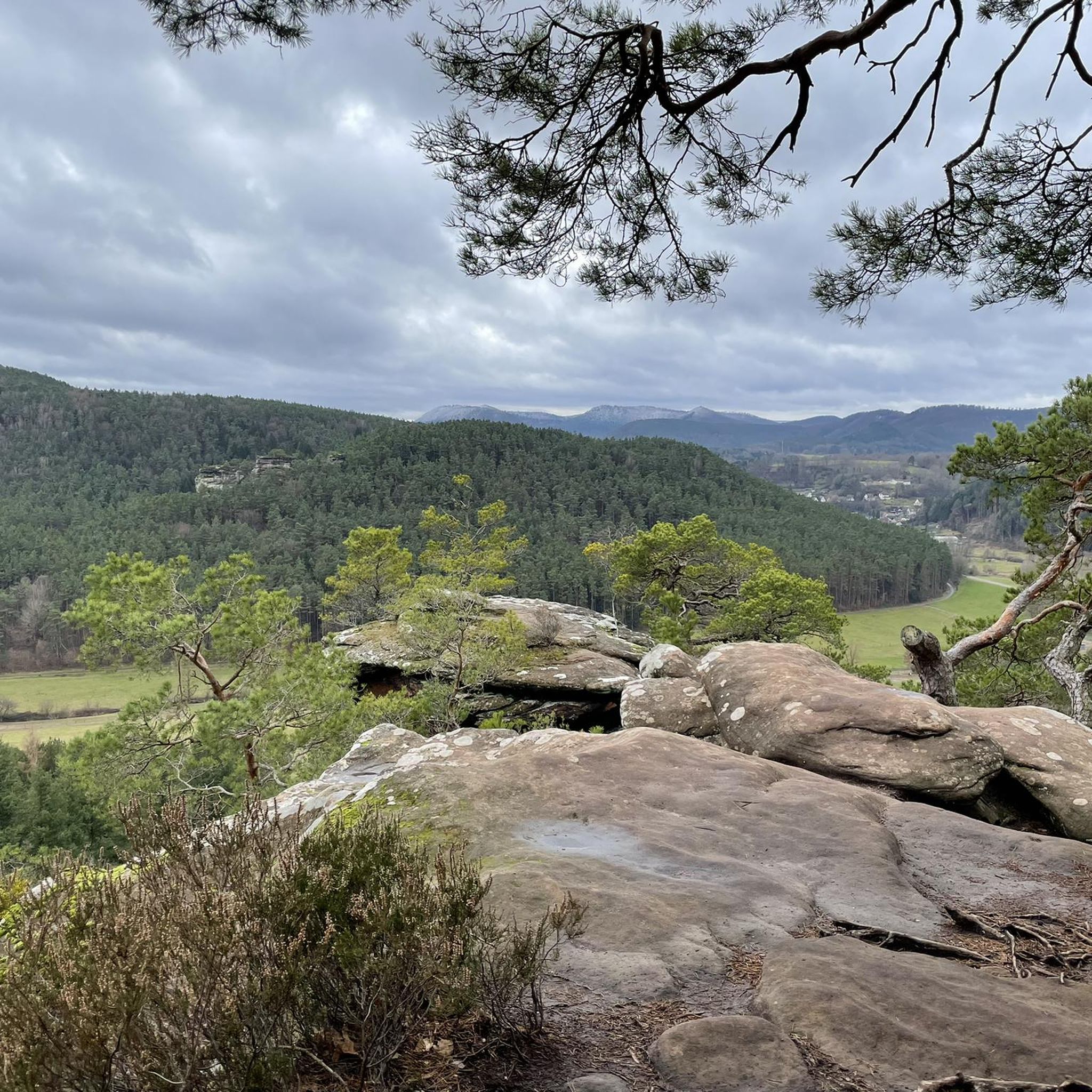
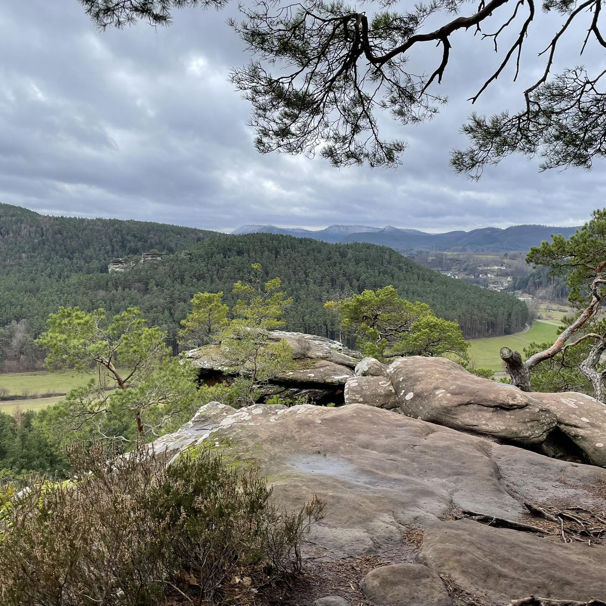
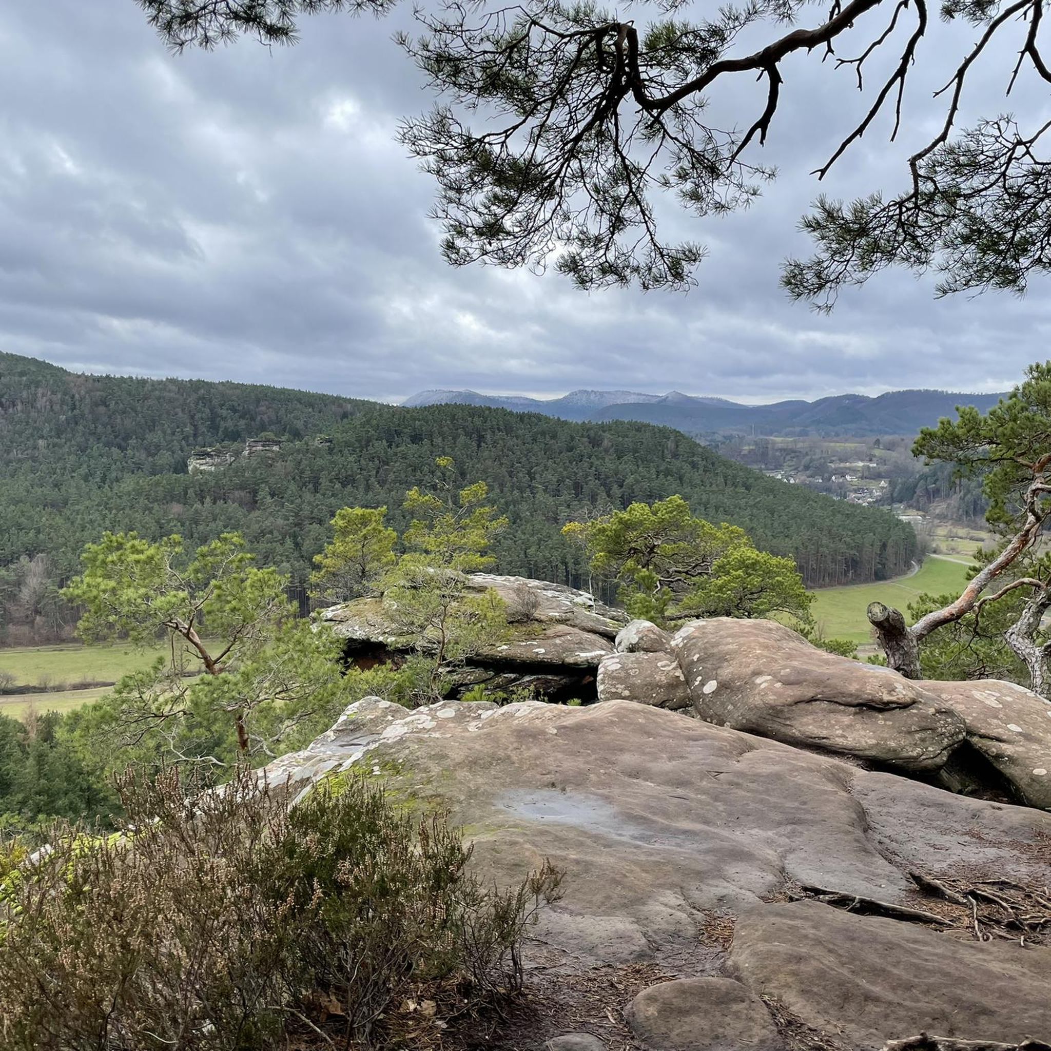
The view of this sandstone formation is amazing! One of the best views on the tour!
1
0
Not to be missed and so wonderful to do this trail!
1
0
A very nice passage!
2
0

The path is so beautiful, you want to stay there
0
0
Frequently Asked Questions
How many hiking trails are there around Schindhard?
Schindhard offers a diverse network of around 19 hiking trails. These routes cater to various preferences, from easy strolls to more challenging treks through the unique landscapes of the Southwest Palatinate region.
Are there easy hiking trails suitable for beginners in Schindhard?
Yes, Schindhard has several easy hiking trails perfect for beginners or those looking for a relaxed walk. There are 7 easy routes available. For example, the Seating area "Wasgaublick" – View of Altdahn Castle Group loop from Schindhard is an easy 3.8 km trail that offers scenic views without significant elevation.
What kind of natural attractions can I see on hikes around Schindhard?
The region is rich in natural beauty, especially its unique sandstone formations. You can encounter impressive rock formations like the Swallows' Rock, the Bride and Groom Rock Formations, and the Ungeheuer Rock. The area also features dense forests and rolling hills, providing a varied natural experience.
Are there any circular hiking routes in Schindhard?
Many of the trails around Schindhard are designed as circular routes, allowing you to start and end in the same location. An example is the Eichelberg Viewpoint – Kreuzeckfelsen Viewpoint loop from Schindhard, a moderate 5.1 km trail that takes you through the Eichelberg area.
What are the best viewpoints or panoramic spots in the Schindhard area?
Schindhard offers several stunning viewpoints. The Wachtfelsen provides spectacular panoramic views over the entire valley, especially beautiful at sunset. The Hahnfelsen, accessible via the Hahnfels-Tour, also offers a dreamlike view over the Wasgau region. Additionally, the Kahlenberg (399 m) is another notable viewpoint.
Are there any historical sites or landmarks to explore while hiking?
Yes, the region combines natural beauty with historical intrigue. Hikers can explore the mysterious Drachenfels castle ruin, which is a highlight of routes like the Busenberger route. The Dahner PWV hut "Im Schneiderfeld" is also a point of interest for hikers.
Is Schindhard suitable for family-friendly hikes with children?
Schindhard offers trails suitable for families. The Wald-Erlebnisweg (Forest Experience Trail) is a 10-kilometer path around Schindhard that focuses on the forest ecosystem, featuring information boards and secured viewing rocks, making it an engaging option for children. The area's easy trails are also good for families.
What is the best time of year to go hiking in Schindhard?
The region's natural beauty is particularly vibrant in spring, with blooming meadows and trees, and in autumn, when the foliage creates a picturesque backdrop. These seasons offer pleasant temperatures and stunning scenery for hiking.
Are there options for winter hiking in Schindhard?
While the region is beautiful year-round, winter hiking in Schindhard can be a serene experience, especially after fresh snowfall. It's advisable to check local weather conditions and trail accessibility before heading out, as some paths might be slippery or less maintained in winter.
What do other hikers enjoy most about hiking in Schindhard?
The hiking routes in Schindhard are highly rated by the komoot community, with an average score of 4.7 stars from over 2,100 reviews. Hikers often praise the diverse landscapes, the unique sandstone formations, and the well-maintained paths that offer a mix of easy strolls and challenging treks.
Are there any trails that feature unique rock formations or arches?
Absolutely. The region is famous for its distinctive rock formations. The Löffelsberg Ridge Trail – Löffelbergfels Rock Arch loop from Schindhard is a moderate route that specifically features a prominent rock arch and ridge sections. Another trail, Pferchsfeld Rocks – Kühhungerfelsen Viewpoint loop from Schindhard, leads through notable rock formations.
Where can I find information about parking for hiking trails in Schindhard?
While specific parking details for each trail may vary, most popular trailheads in and around Schindhard, especially those for well-known routes like the Wald-Erlebnisweg or trails leading to major viewpoints, typically have designated parking areas. It's recommended to check the individual tour details on komoot for specific parking information.
Are there any educational trails in the area?
Yes, the Wald-Erlebnisweg (Forest Experience Trail) around Schindhard is an excellent educational option. This 10-kilometer path focuses on the forest ecosystem, featuring information boards that teach about the local flora and fauna. Along the Eichelberg, there's also an educational bird trail (Vogellehrpfad).
Most popular routes around Schindhard
Most popular attractions around Schindhard

Get inspired with the komoot mobile app


Explore more
Browse the best Hikes in other regions.
