The best walks and hikes around Esperia
4.4
(514)
2,151
hikers
88
hikes
Hiking around Esperia offers a diverse landscape, blending desert environments with the foothills of the San Bernardino Mountains. The region features expansive desert vistas, characterized by Joshua trees and sagebrush, alongside more rugged mountainous terrain. Elevations typically range from approximately 3,200 to 4,000 feet, providing varied hiking experiences. The Mojave River carves through the landscape, creating distinct riverine areas and scenic views.
Best hiking trails around Esperia
- The most popular hiking route is St. Philip Neri's Way - Stage 5…
Last updated: September 1, 2026
4.4
(25)
49
hikers
8.55km
03:01
470m
470m
St. Philip Neri's Way - Stage 5 is a challenging 5.3-mile hike with 1556 feet of gain, leading to Monte Redentore's panoramic views.
5.0
(1)
11
hikers
8.01km
03:10
620m
620m
Embark on the Selvacava-Monte Fammera Trail, a moderate hike that takes you through varied landscapes, from wooded sections to exposed, rocky terrain. You will follow an ancient mule track, winding…

Sign up for free
4.8
(17)
85
hikers
Moderate hike. Good fitness required. Easily-accessible paths. Suitable for all skill levels.
4.8
(79)
328
hikers
Moderate hike. Good fitness required. Easily-accessible paths. Suitable for all skill levels.
4.7
(43)
204
hikers
Hard hike. Very good fitness required. Sure-footedness, sturdy shoes and alpine experience required.
Get access to more routes and recommendations from other explorers.
Sign up for free
Already have an account?
Our route recommendations are based on thousands of hikes, rides, and runs completed by other people on komoot.
Start today with a free account
Your next adventure awaits.
Login or Signup
Tips from the Community

The summit of Redentore (1,253 m) is one of the most striking peaks in the Aurunci Mountains, located in the territory of Formia, famous for the statue of Christ the Redeemer. The summit offers spectacular panoramic views of the Gulf of Gaeta, the Pontine Islands, and the Apennines. The mountain is a destination for hikers and pilgrims, especially due to the famous Hermitage of Saint Michael the Archangel, dating back to the 9th century BC.
0
0
The hermitage of San Michele Arcangelo is a small church located on the slopes of Mount Altino, which belongs to the Aurunci Mountains chain, at 1220 m above sea level in the territory of Maranola (a hamlet of Formia). Set in the rock, it is located along the path that leads from Sella Sola to the summit of the Redentore, on a sheer spur. The rock sanctuary, dedicated to Saint Michael the Archangel, dates back to 830, as it is mentioned in the Codex diplomaticus cajetanus. However, the stone facade, which closes a natural cavity, was rebuilt in neo-Gothic style at the end of the 19th century, in 1893, when Archbishop Francesco Niola climbed Mount Altino on a pastoral visit. He indicated the interior of the grotto as an ideal location for the new construction, in order to avoid the damage suffered by the previous church, caused by runoff water, falling rocks, and ice. The new project was drawn up by the engineer Silvio Forte of Trivio. The rock was squared to form the environment of the Church, and a space twelve meters long, ten wide, and seven high was obtained. On the back wall, opposite the entrance, a niche also carved into the rock houses the statue of Saint Michael. The facade, facing west and with two projecting volumes on the sides, has in the center a pointed arch entrance door, surmounted by a rose window open to let light into the church's interior. On the arch of the door, next to the inscription “Angelorum Principi”, are the dates 830, the year of the foundation of the old monastery, and August 5, 1895, the day of the inauguration of the new Sanctuary. These dates are also reported on a plaque placed inside the church. Both the rose window and the other openings of the facade were closed by polychrome stained glass windows, now lost.
0
0
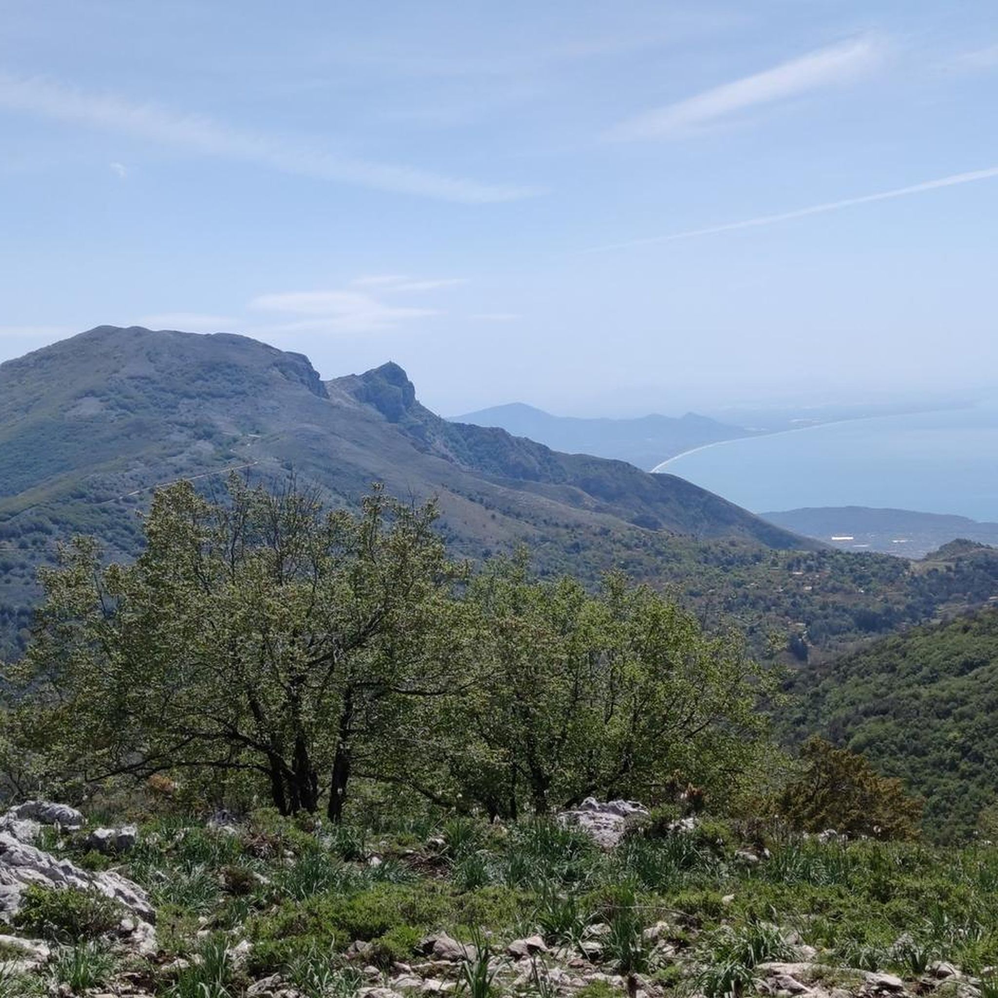
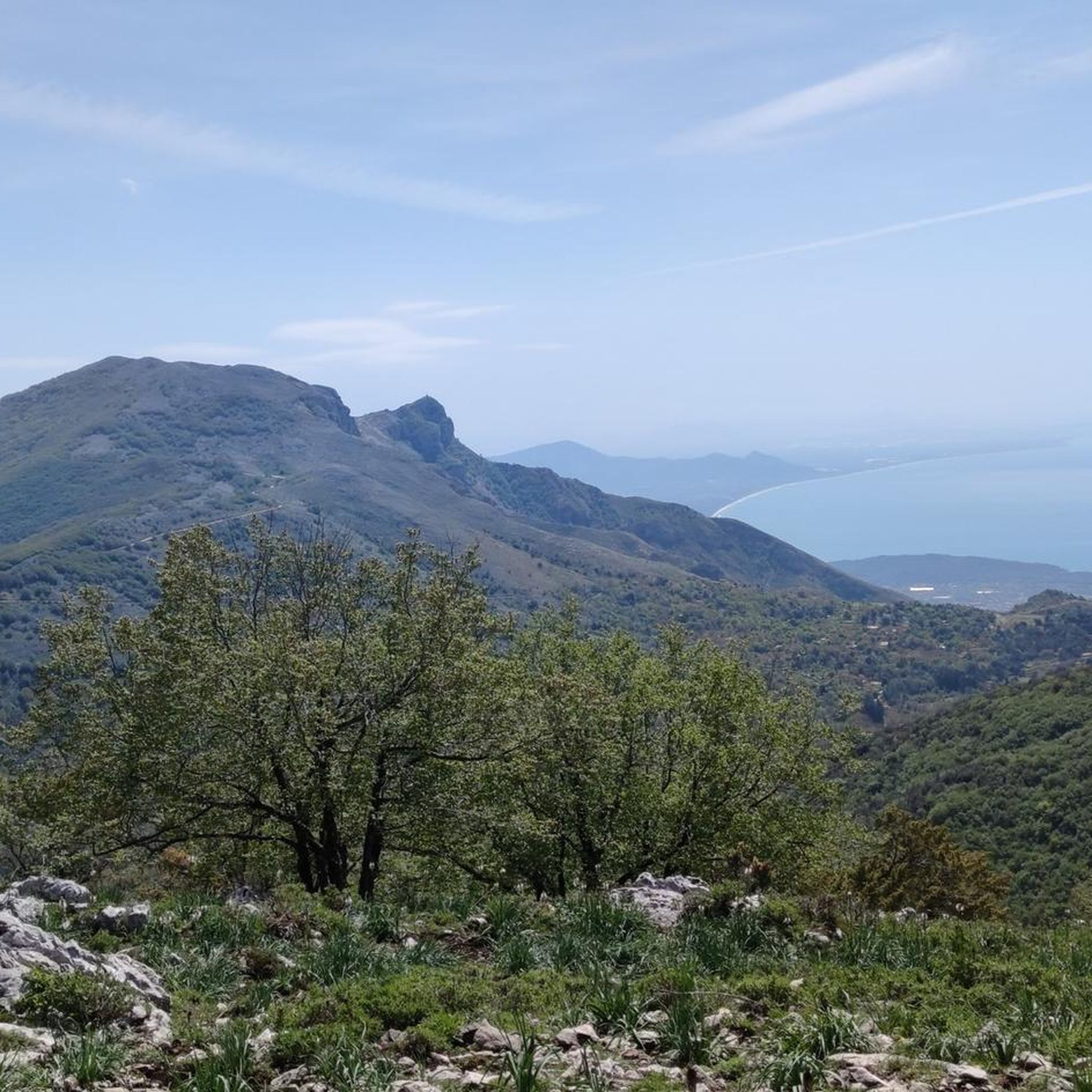
Once at the top of the climb, a wonderful panorama opens up over the valley with a view of Christ the Redeemer.
0
0

Mystical place for contemplation where everything flows slowly amidst the beauty of a church nestled in the rock.
0
0
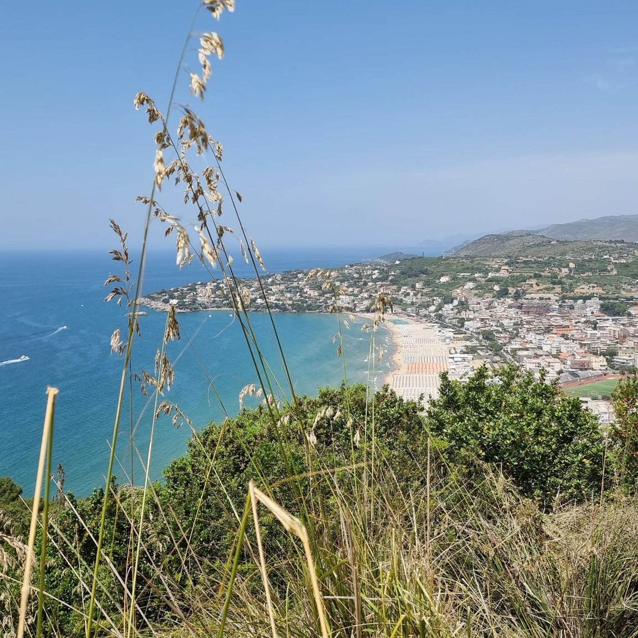
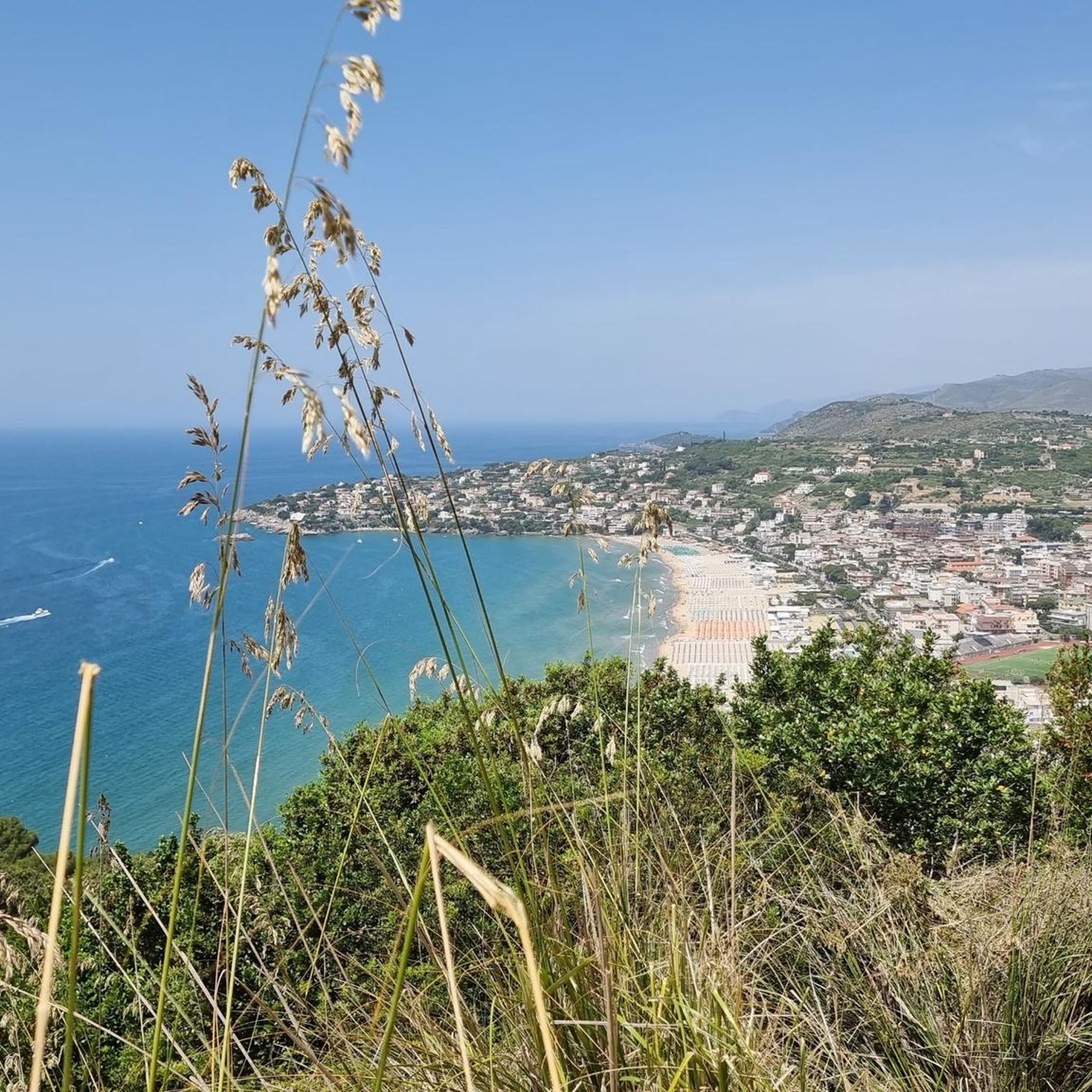
The climb to the Redentore rewards with a breathtaking panorama of the Gulf of Gaeta
0
0

This saddle is fast and allows you to catch your breath before the last ramps that give access to the monument.
0
0
It's the real reward for all the climbing. The ramps that lead up to the monument are technically challenging. Lower the saddle, put a hard gear and push all the way to the top.
2
0
Challenging until the end where roots and rocks increase the difficulty level but also the technical fun
0
0
Frequently Asked Questions
What kind of terrain can I expect when hiking around Esperia?
Hiking around Esperia offers a diverse landscape, blending desert environments with the foothills of the San Bernardino Mountains. You'll find expansive desert vistas with Joshua trees and sagebrush, alongside more rugged mountainous terrain. The Mojave River also carves through the landscape, creating distinct riverine areas and scenic views. Elevations typically range from approximately 3,200 to 4,000 feet.
How many hiking trails are available in Esperia?
There are over 80 hiking routes available around Esperia, catering to various skill levels. This includes 25 easy trails, 36 moderate routes, and 19 more difficult options for experienced hikers.
Are there any family-friendly hiking options in Esperia?
Yes, Esperia offers several easy trails suitable for families. For example, the Hermitage of Saint Michael the Archangel – Hermitage of St. Michael the Archangel loop from Monte Rusco is an easy 5.3 km route that takes about 1 hour 37 minutes to complete, with a gentle elevation gain of 190 meters.
What are some notable landmarks or viewpoints to see on hikes in Esperia?
Esperia's trails offer access to several interesting landmarks and viewpoints. You can explore natural monuments like Cima del Redentore (Monte Altino) and Monte Petrella. The Hermitage of St. Michael the Archangel is also a significant point of interest along some routes.
Are there any loop trails in Esperia?
Yes, Esperia features several loop trails. A popular moderate option is the Madonna of the Cliffs of Gaeta – Hermitage of St. Michael the Archangel loop from Area del Pellegrino Fossa Massaraccio, which is 11.4 km long and takes about 3 hours 43 minutes. For a more challenging loop, consider the Hermitage of St. Michael the Archangel – Madonna of the Cliffs of Gaeta loop from Area del Pellegrino Fossa Massaraccio, a 15.6 km difficult route.
What do other hikers say about the trails in Esperia?
The hiking routes in Esperia are highly rated by the komoot community, with an average score of 4.3 stars from over 400 reviews. Hikers often praise the varied terrain, from desert vistas to mountain foothills, and the opportunities to explore both natural beauty and historic sites.
What is the best time of year to go hiking in Esperia?
Esperia's diverse landscape, blending desert and mountain foothills, suggests that spring and fall are generally the best times for hiking. These seasons offer milder temperatures, avoiding the intense heat of summer and potential colder conditions in winter, making for more comfortable and enjoyable treks.
Are there any trails that offer significant elevation gains for a challenge?
Absolutely. For hikers seeking a challenge, the Selvacava-Monte Fammera Trail is a moderate 8.0 km path with significant climbs, featuring 616 meters of elevation gain. Another difficult option is the Hermitage of St. Michael the Archangel – Madonna of the Cliffs of Gaeta loop from Area del Pellegrino Fossa Massaraccio, which includes over 800 meters of ascent.
Can I find trails that lead to specific natural features like hot springs or rivers?
While the komoot guide data focuses on specific routes, the broader Esperia region is known for natural features like the Mojave River, which carves through the landscape, creating scenic riverine areas. The Deep Creek Hot Springs are also a major draw, accessible via trails that wind through the desert scenery, offering a relaxing soak amidst stunning natural beauty.
Are there any historical sites or religious buildings accessible via hiking trails?
Yes, some trails in Esperia lead to historical and religious sites. For instance, the Madonna of the Cliffs of Gaeta – Hermitage of St. Michael the Archangel loop from Area del Pellegrino Fossa Massaraccio leads through historic sites and natural cliffs, with the Hermitage of St. Michael the Archangel being a key highlight.
What is a good moderate hike for someone looking for varied terrain?
The St. Philip Neri's Way - Stage 5 is a moderate 8.5 km trail that takes about 3 hours to complete. This route features a steady elevation gain of 474 meters through varied terrain, offering a good balance of challenge and scenic views.
Most popular attractions around Esperia

Get inspired with the komoot mobile app


Explore more
Browse the best Hikes in other regions.
