The best walks and hikes around Broccostella
4.2
(187)
831
hikers
86
hikes
Hiking around Broccostella offers diverse terrain, from paths leading to historical sites to routes with significant elevation gain. The region features varied landscapes, including trails that ascend to viewpoints and others that explore natural features like caves or water bodies. Hikers can expect a mix of forested sections and open areas, providing different perspectives of the local environment.
Best hiking trails around Broccostella
- The most popular hiking route is Sora – Castello di Sora loop from Sora, a 3.4…
Last updated: July 5, 2026
4.7
(9)
62
hikers
5.53km
01:57
290m
290m
Moderate hike. Great for any fitness level. Mostly accessible paths. Sure-footedness required.
27
hikers
21.0km
08:06
1,430m
1,430m
Hard hike. Very good fitness required. Easily-accessible paths. Suitable for all skill levels.

Sign up for free
4.4
(5)
27
hikers
6.26km
01:57
230m
230m
Easy hike. Great for any fitness level. Easily-accessible paths. Suitable for all skill levels.
4.0
(1)
13
hikers
8.90km
03:06
450m
450m
Moderate hike. Good fitness required. Mostly accessible paths. Sure-footedness required.
4.8
(6)
26
hikers
3.30km
01:16
220m
220m
Moderate hike. Great for any fitness level. Mostly accessible paths. Sure-footedness required.
Get access to more routes and recommendations from other explorers.
Sign up for free
Already have an account?
Our route recommendations are based on thousands of hikes, rides, and runs completed by other people on komoot.
Start today with a free account
Your next adventure awaits.
Login or Signup


Tips from the Community

There is no plane wreck at this place
0
0

To be enjoyed throughout the route by bike
0
0


Municipality of Ciociaria on the banks of the Liri River.
0
0
The ruins of the castle of Sora are easily reachable from the town. They offer a splendid view of the city.
0
0

This beautiful town is located in the province of Frosinone, on the border between Lazio and Abruzzo. The inhabited center is surmounted by the Castle of Saints Casto and Cassio dating back to the 16th century.
3
0
A walk within everyone's reach.
0
0

Here there is a commemorative stele that commemorates the tragedy of 1963 which cost the lives of 5 passengers and 3 crew members; Flight Itavia 703 crashed here due to bad weather.
2
0
Frequently Asked Questions
How many hiking trails are available around Broccostella?
There are over 70 hiking trails around Broccostella, offering a wide range of options for different skill levels and interests. These include 23 easy routes, 37 moderate trails, and 13 challenging paths.
What do other hikers enjoy most about the trails in Broccostella?
The trails around Broccostella are highly rated by the komoot community, with an average score of 4.3 stars from over 160 reviews. Hikers often praise the diverse terrain, from historical sites to scenic viewpoints, and the variety of landscapes including forested sections and open areas.
Are there easy hiking trails suitable for beginners or families in Broccostella?
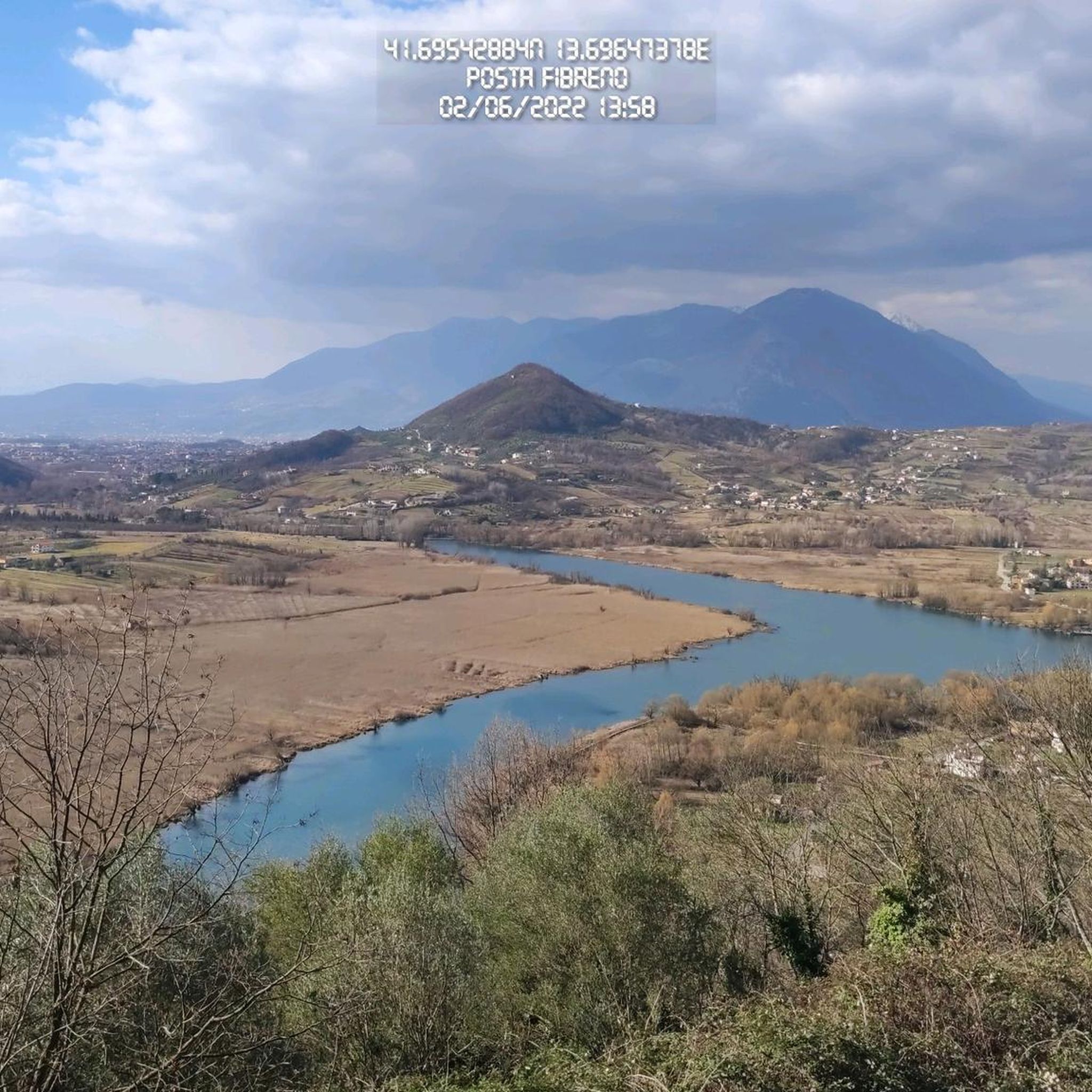
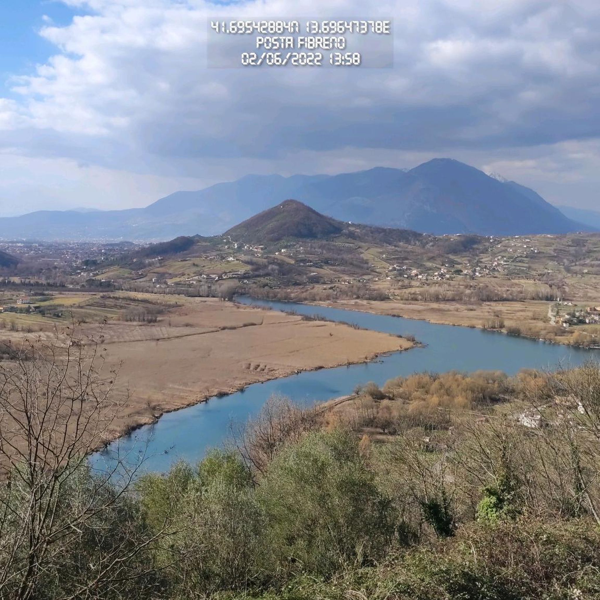
Yes, Broccostella offers 23 easy hiking routes, many of which are suitable for beginners or families. An example is the Submerged Cross loop from Posta Fibreno, an easy 3.9-mile (6.3 km) trail that takes about 2 hours to complete.
Are there any challenging hikes for experienced trekkers in the area?
Absolutely. For experienced trekkers, there are 13 difficult routes available. A notable challenging option is the View of Sora – Itavia Flight 703 Plane Wreck loop from Sora, a demanding 13.1-mile (21.0 km) path that offers expansive views and passes a significant historical site.
Can I find circular hiking routes in the Broccostella area?
Yes, many of the trails around Broccostella are circular routes, allowing you to start and end at the same point. For instance, the Sora – Grotta delle Monache loop from Sora is a moderate 5.1-mile (8.3 km) circular trail that explores a local cave.
Are there any hikes that feature waterfalls near Broccostella?
While not directly on every trail, the region is close to the impressive Grande Waterfall of Isola del Liri. You can plan a hike in the vicinity and include a visit to this natural attraction.
What kind of scenic viewpoints can I expect on hikes around Broccostella?
Hiking around Broccostella offers numerous scenic viewpoints, often providing panoramic vistas of the surrounding landscapes and towns. Trails like the Sora – View of Sora loop from Sora are specifically designed to showcase beautiful views of the town and its surroundings.
Are there any historical landmarks or places of interest to explore along the hiking trails?
Yes, the Broccostella region is rich in historical landmarks. Many trails lead to or pass by significant sites such as the historic Castello di Sora. Other nearby attractions include the ancient Cicerone Tower and Megalithic Walls of the Acropolis of Arpino, and the Acropolis of Civitavecchia (Arpino).
Are there any natural monuments or unique geological features to see?
Beyond historical sites, the area boasts natural wonders. You can explore the serene Lake Posta Fibreno or the dramatic Melfa Gorge – Tracciolino of Roccasecca. The trails often traverse varied terrain, including sections near these natural monuments.
What is the best time of year to go hiking in Broccostella?
The best time for hiking in Broccostella is generally during the spring (April to June) and autumn (September to October) when the weather is mild and pleasant. Summer can be quite warm, especially at lower elevations, while winter offers a different, often quieter, experience, though some higher trails might be affected by snow or colder conditions.
Are there options for less crowded hikes if I prefer solitude?
While some popular routes can see more foot traffic, Broccostella's extensive network of over 70 trails means you can often find quieter paths, especially on weekdays or by exploring some of the less-trafficked moderate or difficult routes. Focusing on trails slightly further from main towns can also lead to more solitude.
Is there parking available at the trailheads around Broccostella?
Parking availability varies by trailhead. Many routes, especially those starting from towns like Sora or Posta Fibreno, will have designated parking areas nearby. It's advisable to check the specific route details on komoot for information regarding parking at your chosen starting point.
Most popular attractions around Broccostella

Get inspired with the komoot mobile app


Explore more
Browse the best Hikes in other regions.
