The best walks and hikes around Ospedaletto
4.5
(2524)
14,863
hikers
326
hikes
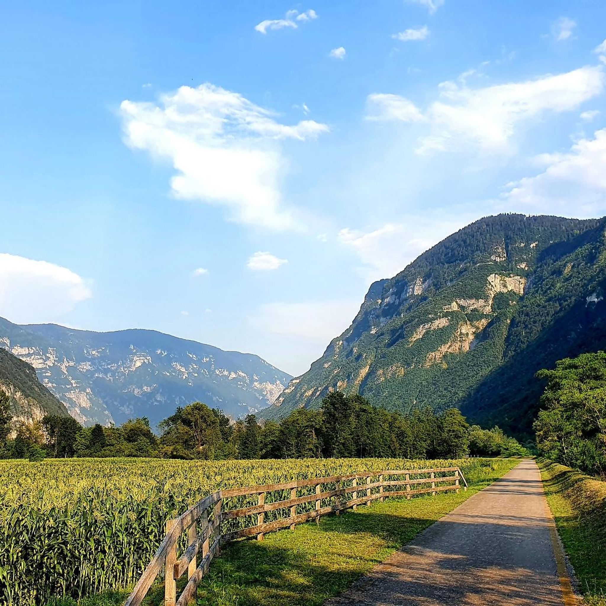
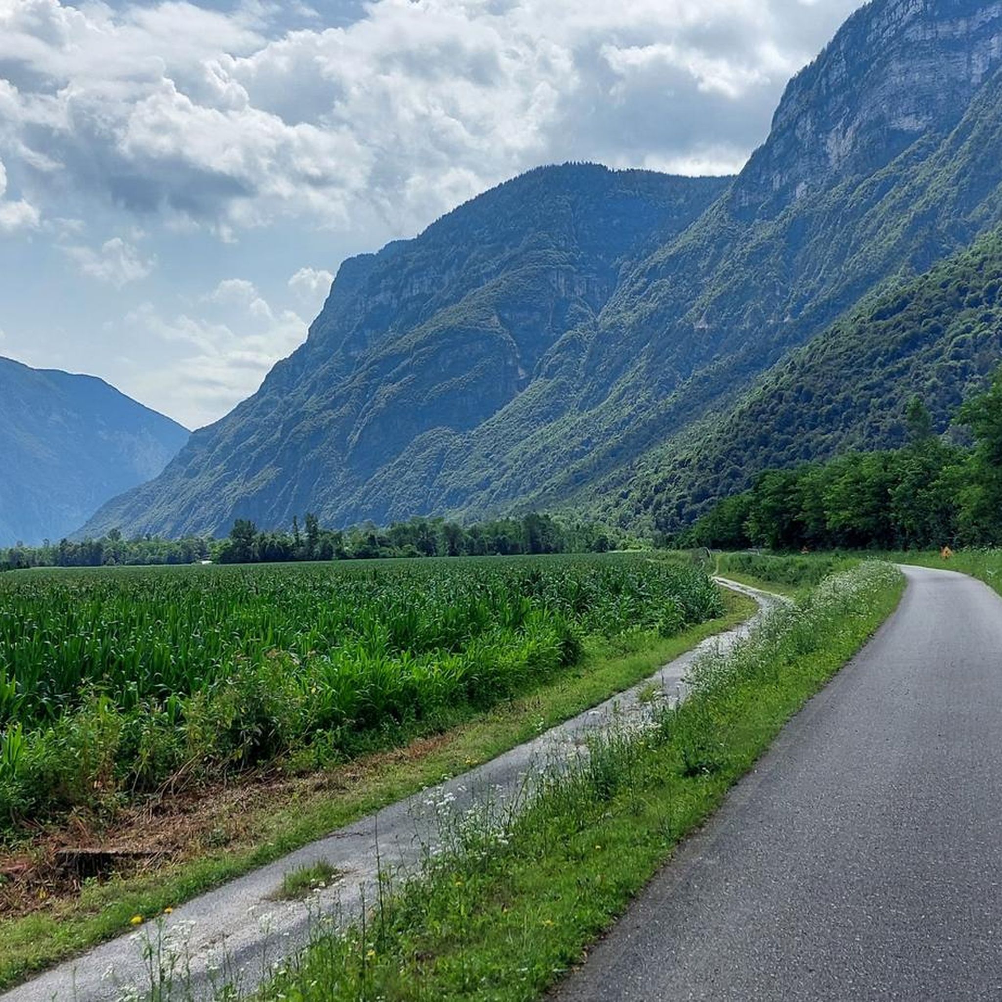
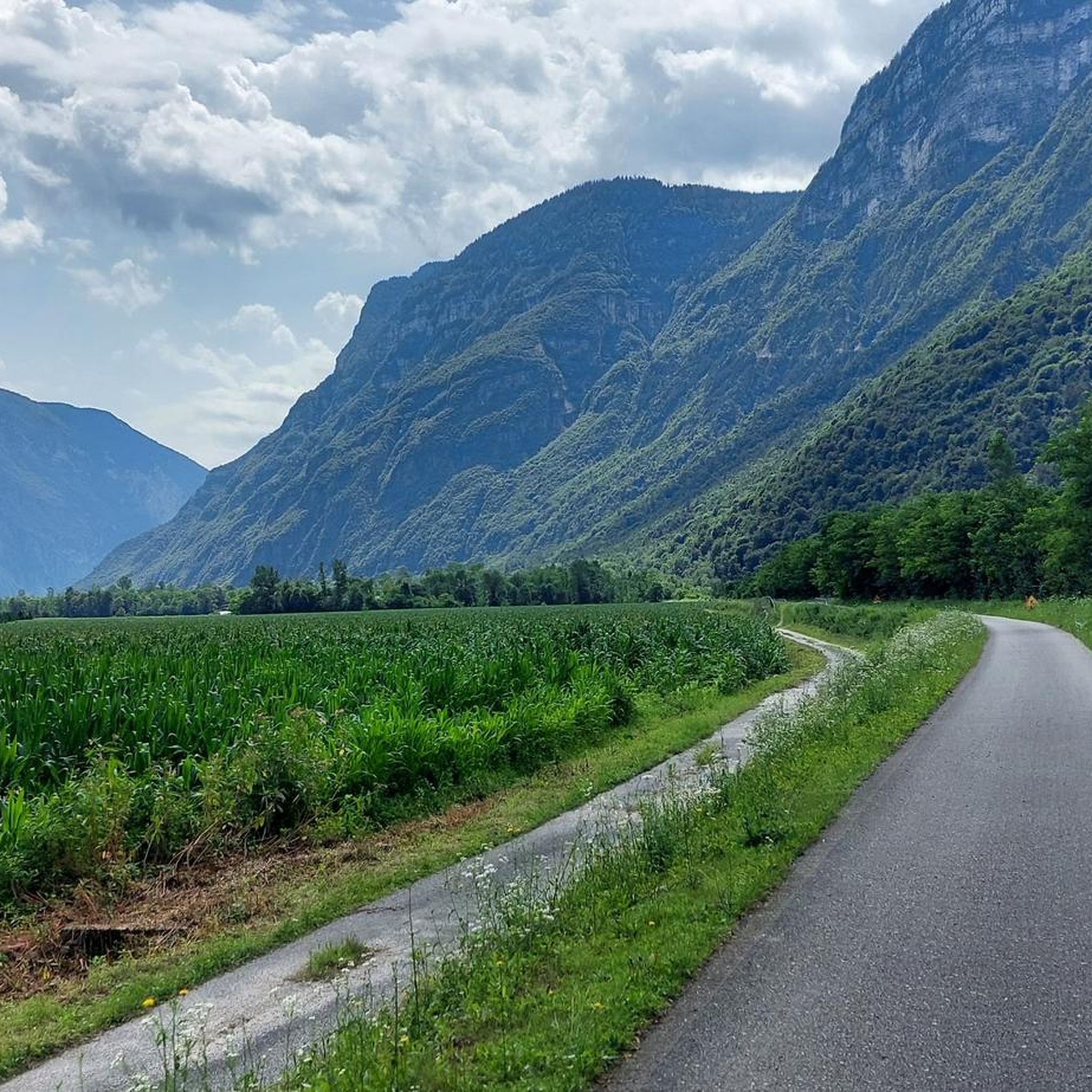
Hiking around Ospedaletto, nestled in Italy's Trentino region, offers diverse landscapes characterized by green hills and captivating mountain vistas. The area features notable natural attractions such as the impressive Ponte dell'Orco, a large natural stone bridge, and the unique rocky labyrinth of Castelloni di San Marco. This topography provides a varied backdrop for numerous outdoor activities, ranging from accessible paths to more challenging mountain trails.
Best hiking trails around Ospedaletto
- The most popular hiking route is Monte Ortigara Trail,…
Last updated: September 30, 2026
4.7
(92)
466
hikers
6.90km
02:50
330m
330m
Moderate hike. Good fitness required. Mostly accessible paths. Sure-footedness required.
4.7
(35)
167
hikers
7.21km
02:35
310m
310m
Moderate hike. Good fitness required. Mostly accessible paths. Sure-footedness required.

4.4
(7)
46
hikers
11.1km
05:02
860m
860m
Hard hike. Very good fitness required. Mostly accessible paths. Sure-footedness required.
5.0
(1)
10
hikers
12.2km
04:30
590m
590m
Moderate hike. Good fitness required. Mostly accessible paths. Sure-footedness required.
11
hikers
10.7km
04:33
780m
780m
Hard hike. Good fitness required. Sure-footedness, sturdy shoes and alpine experience required.
Get access to more routes and recommendations from other explorers.
Already have an account?
Our route recommendations are based on thousands of hikes, rides, and runs completed by other people on komoot.
Start today with a free account
Your next adventure awaits.
Tips from the Community

The column erected in memory of the Italian fallen of the Great War should make us reflect on the increasingly violent campaign in favor of war that is emphasized daily by politicians and the press.
0
0
Nice refuge with a large outdoor meadow and a beautiful dining room where you can enjoy the dishes expertly prepared by the manager
0
0

Great artifact from the Great War. It is a privileged observation point over the Valsugana with its sheer cliff face. It is built on two levels: the lower one in a tunnel and the upper one open, but with trenches. Spectacular view of the valley below, the Lagorai chain, and many other mountains in the distance.
0
0
The artificial lake of Pradellano
0
0
Spectacular construction overlooking the lower Valsugana, built on two levels, one outdoors and one below in a tunnel
0
0

Very steep section that leads to the top of Ortigara, it is useful to have a headlamp with you
1
0

The wounded man's well was a spring on Mount Ortigara that during the Italian assault of June 1917 was used by wounded Alpine troops as a place of shelter as it was out of the line of fire of both armies.
2
0

built by the Alpine troops of the Verona battalion after the battle of June 1917. Here it is also possible to visit an ossuary.
0
0
Frequently Asked Questions
How many hiking trails are available around Ospedaletto?
Ospedaletto offers a wide variety of hiking opportunities, with over 300 trails recorded on komoot. These range from easy walks to challenging mountain ascents, catering to all skill levels.
What are the different difficulty levels for hikes in Ospedaletto?
The trails around Ospedaletto are categorized into three main difficulty levels:
- Easy: These are accessible paths, typically up to 2 hours with 1,000 ft of elevation gain, suitable for all skill levels. There are 63 easy routes available.
- Moderate: Requiring good fitness and sure-footedness, these treks can take up to 5 hours with 3,000 ft of elevation gain. You'll find 163 moderate routes.
- Difficult: These challenging hikes demand very good fitness, sturdy shoes, and alpine experience, often exceeding 5 hours or 3,000 ft of elevation gain. There are 80 difficult routes for experienced hikers.
Are there any family-friendly hiking options in Ospedaletto?
Yes, Ospedaletto provides several easy and accessible paths perfect for families. These trails are generally shorter and have less elevation gain, making them suitable for all ages. For example, you can explore some of the 63 easy routes available, which are ideal for a leisurely family outing.
What natural landmarks or points of interest can I see while hiking near Ospedaletto?
The region boasts impressive natural features. You can visit the Castelloni of San Marco, a spectacular rocky monument with a labyrinthine path, or the impressive Ponte dell'Orco, one of Northern Italy's largest natural stone bridges. Hikers can also discover various mountain peaks and historical sites like Portule Peak and the Monte Lisser Fort.
Are there any historical trails or cultural experiences available?
Absolutely. The historic Via Romea Germanica pilgrimage route crosses this region, offering a blend of history and nature. You can combine sections of this route with an "ideal taste trail" to experience local wine and food products from the Trentino Wine and Food Trail, adding a culinary dimension to your hike. The Cima Caldiera Historical Trail is another excellent option for exploring historical points and mountain vistas.
What do other hikers say about the trails in Ospedaletto?
The komoot community highly rates the trails around Ospedaletto, with an average score of 4.5 stars from over 2000 reviews. Hikers often praise the diverse landscapes, captivating mountain vistas, and the unique rocky monuments like Ponte dell'Orco and Castelloni di San Marco.
Are there any circular hiking routes in the area?
Yes, many of the trails around Ospedaletto are designed as circular routes, allowing you to start and end at the same point without retracing your steps. While specific circular routes are too numerous to list individually, you can find many options among the 300+ trails available on komoot, including the popular Monte Ortigara Trail.
Can I bring my dog on the hiking trails in Ospedaletto?
Generally, dogs are welcome on most hiking trails in Ospedaletto. However, it's always recommended to keep your dog on a leash, especially in areas with wildlife or livestock, and to follow local regulations. Please ensure you clean up after your pet to maintain the natural beauty of the area.
What is the best time of year to go hiking in Ospedaletto?
The best time to hike in Ospedaletto is typically from spring through autumn, when the weather is mild and the trails are clear. The lush green hills are particularly vibrant in spring and early summer, while autumn offers stunning foliage. Winter hiking is possible but may require specialized gear and experience due to snow and colder conditions, especially at higher elevations.
Are there options for longer, more challenging hikes?
For those seeking a greater challenge, Ospedaletto offers numerous difficult routes, including multi-day hikes that traverse historic trails and picturesque villages. Trails like the Monte Lefre Trail from Ivano Fracena, which is 6.9 miles long and takes about 5 hours, provide significant elevation gain and demanding terrain for experienced hikers.
Are there any huts or shelters along the trails for breaks or overnight stays?
Yes, the region around Ospedaletto has several huts and shelters that can serve as excellent resting points or even overnight accommodations for longer treks. Notable options include Barricata Hut, Valmaron Hut, and Busa del Molton Shelter. These can be great places to refuel and enjoy the mountain atmosphere.
What is a good moderate hike to experience the area's views?
A great moderate option is the Monte Mezza Summit Trail (via Route 395). This 4.4-mile route offers beautiful views and takes approximately 2 hours 40 minutes to complete, providing a rewarding experience without being overly strenuous.
Most popular routes around Ospedaletto
Most popular attractions around Ospedaletto

Get inspired with the komoot mobile app


Explore more
Browse the best Hikes in other regions.
