The best walks and hikes around Ala
4.3
(1335)
8,087
hikers
69
hikes
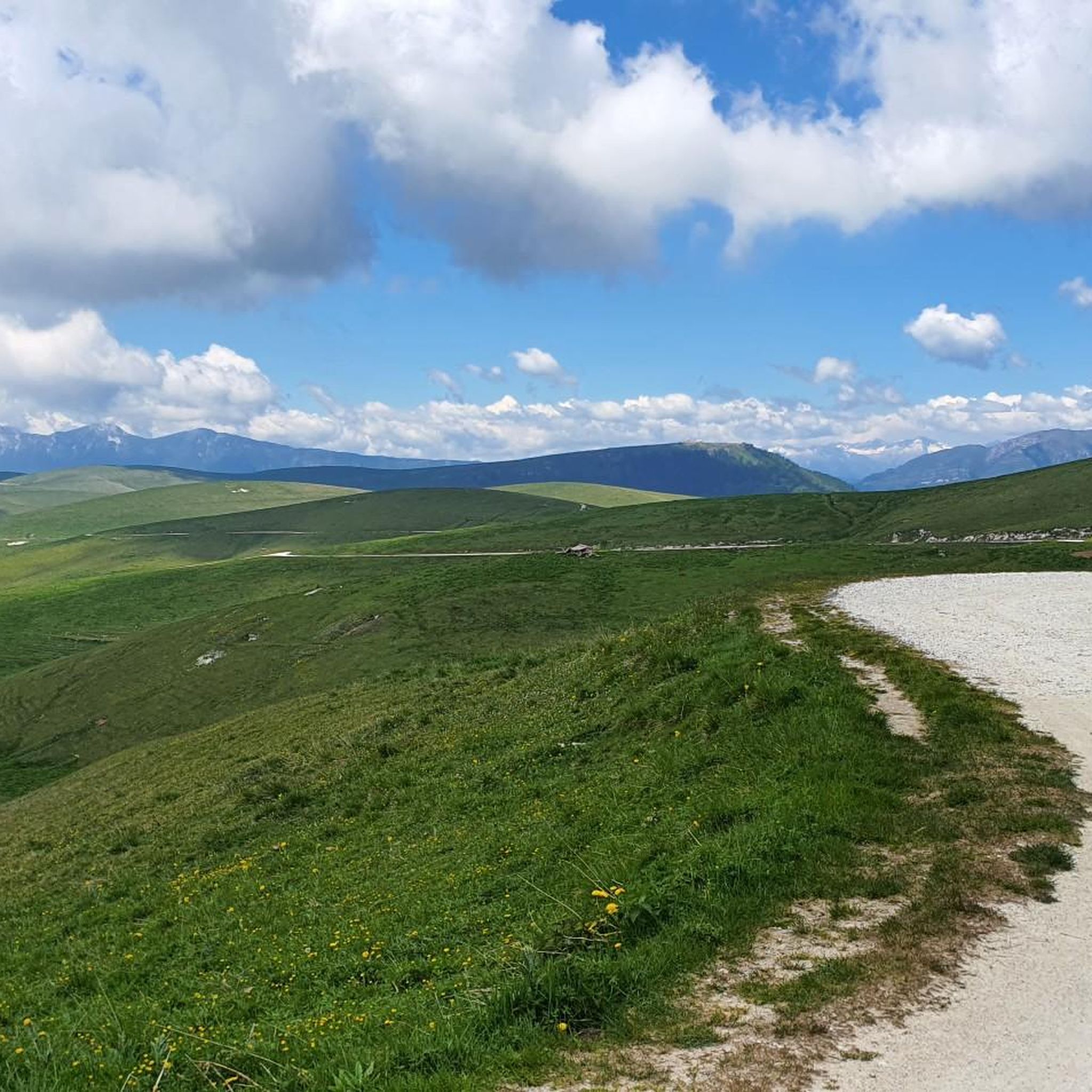
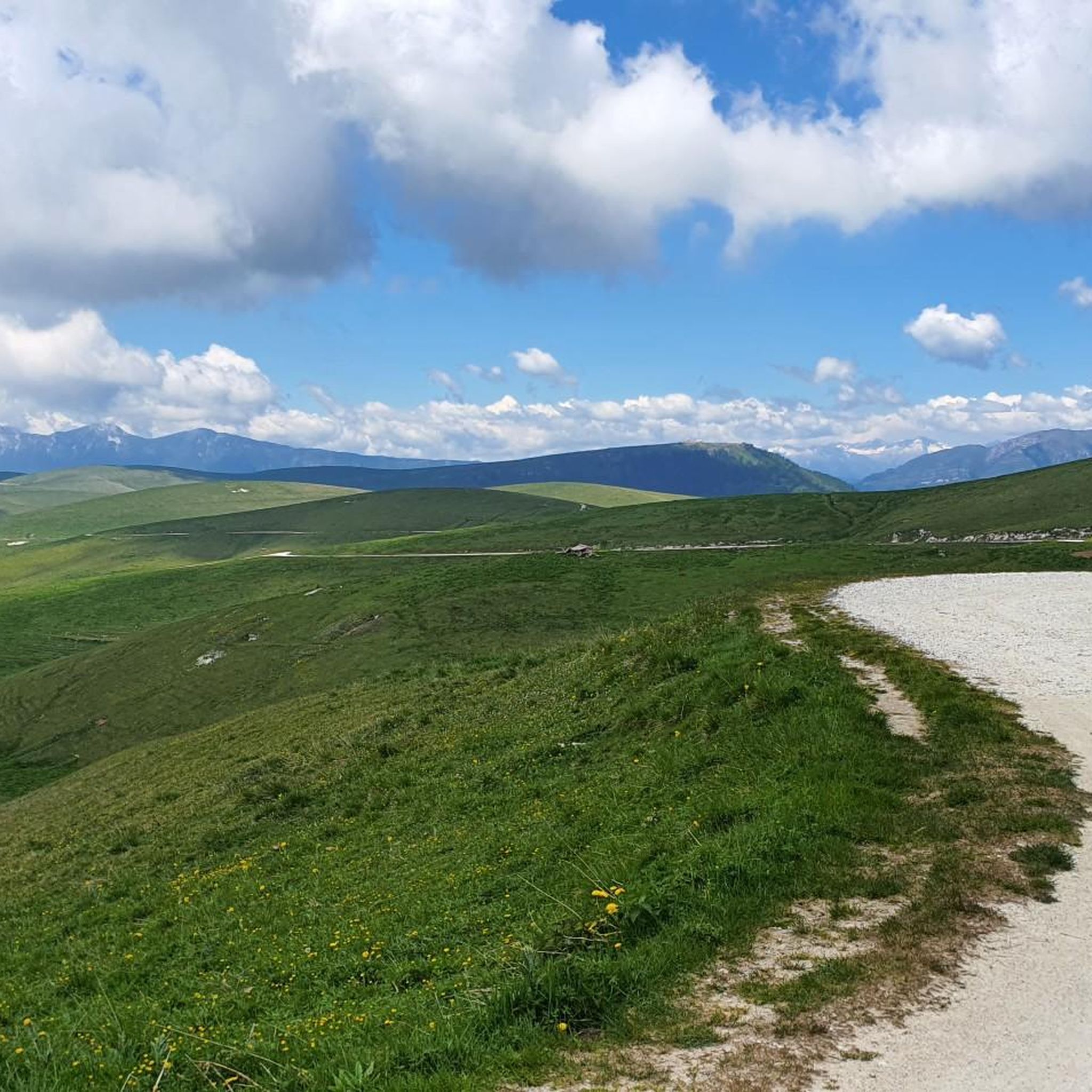
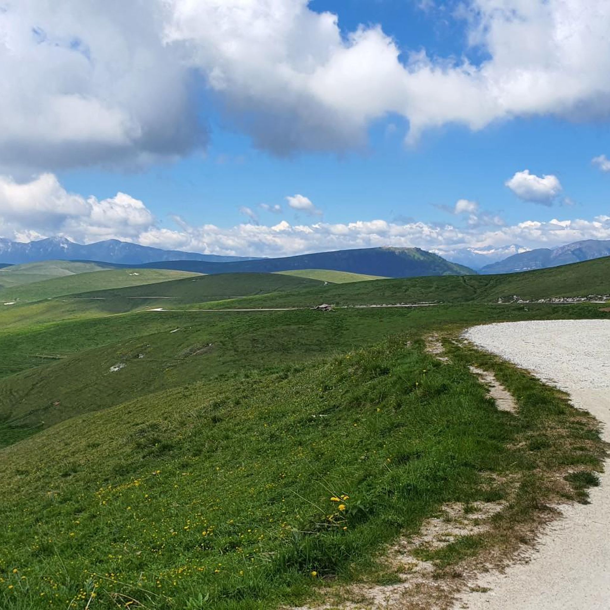
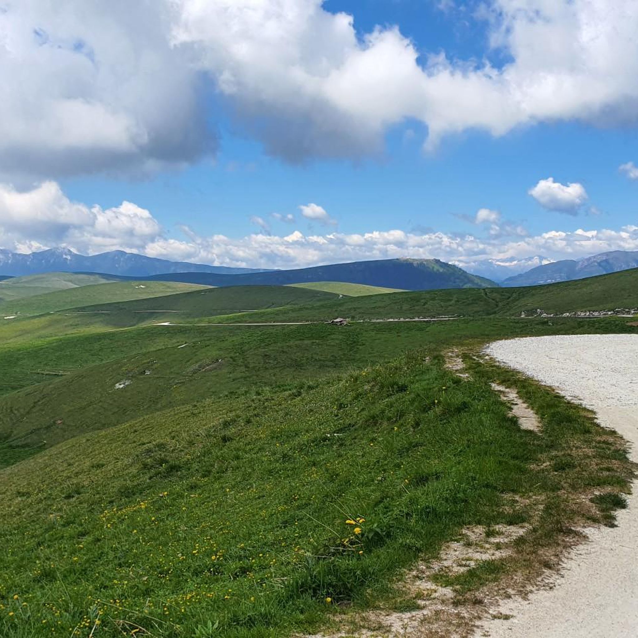
Hiking around Ala, Italy, offers diverse terrain within the Trentino region, characterized by its valleys, forested slopes, and mountain passes. The area features a network of trails that traverse varying elevations, providing opportunities to explore both natural landscapes and historical paths. Hikers can expect routes that wind through alpine pastures, dense woodlands, and along valley floors.
Best hiking trails in Ala
- The most popular hiking route is Sega di Ala Malghe Loop, a 9.6 miles (15.4 km) trail that takes 4 hours 40 minutes to complete. This moderate route explores the alpine pastures and traditional malghe (alpine dairies) of the Sega di Ala area.
- Another top favourite among local hikers is Val di Ronchi Historic Trail (SAT 109), a difficult 13.3 miles (21.4 km) path. This trail offers a challenging journey through the Val di Ronchi, featuring historical points of interest and significant elevation changes.
- Local hikers also love the From Pilcante to Le Caserme (via Trail 689), a 5.1 miles (8.3 km) trail leading through forested areas and offering views of the surrounding valley, often completed in about 3 hours 16 minutes.
- Hiking around Ala is defined by its mountain passes, historic trails, and alpine pastures. The network offers options for various ability levels, from moderate loops to more difficult, longer ascents.
- The routes in Ala are highly rated by the komoot community with an average score of 4.3 stars from over 1000 reviews. More than 7000 hikers have used komoot to explore Ala's varied terrain.
Last updated: September 26, 2026
4.6
(110)
446
hikers
15.4km
04:40
510m
510m
Moderate hike. Good fitness required. Mostly accessible paths. Sure-footedness required.
14
hikers
21.4km
08:29
1,240m
1,240m
Hard hike. Very good fitness required. Mostly accessible paths. Sure-footedness required.

4.0
(3)
13
hikers
8.26km
03:16
630m
630m
Moderate hike. Good fitness required. Easily-accessible paths. Suitable for all skill levels.
4.0
(3)
7
hikers
15.5km
08:20
1,430m
1,430m
Hard hike. Very good fitness required. Sure-footedness, sturdy shoes and alpine experience required.
3.0
(1)
8
hikers
15.8km
07:23
1,290m
1,290m
Hard hike. Very good fitness required. Sure-footedness, sturdy shoes and alpine experience required.
Get access to more routes and recommendations from other explorers.
Already have an account?
Our route recommendations are based on thousands of hikes, rides, and runs completed by other people on komoot.
Start today with a free account
Your next adventure awaits.


Other adventures around Ala

Tips from the Community

It is the northernmost refuge in the Veronese Lessinia, at 1,750 meters above sea level. It is also the highest, on par with the Primaneve refuge on Mount Tomba. Its open position offers sweeping views in all directions. It has been beautifully renovated, both inside and out. 300 meters to the north, the observatory is definitely worth seeing, with its indication of the visible mountains and trenches from the First World War.
0
0

Rifugio Castelberto, with good food and tasty sandwiches
0
0

beautiful view from the Castelberto refuge
0
0

Beautiful place, you eat like a god 👍👍👍
0
0

hiking trail with sure step and well trained foot natural landscape spectacle best time autumn when the leaves are falling
0
0

I didn't stop at this bivouac but I'm reporting it. It's in a very beautiful place, it's quite large and it seems well kept.
0
0

The beautiful refuge, a faithful reconstruction of a former barracks from the First World War, is located on the summit of the mountain of the same name. Fantastic 360° panorama that ranges from the Small Venetian Dolomites to the entire Monte Baldo chain.
0
1
Frequently Asked Questions
How many hiking trails are there in Ala?
Ala offers a wide variety of hiking experiences, with over 60 trails available. These routes cater to all skill levels, from easy walks to challenging mountain ascents.
What is the best time of year to go hiking in Ala?
The best time for hiking in Ala, located in the Trentino region, is generally from late spring through early autumn (May to October). During these months, the weather is most favorable, and alpine pastures are vibrant. Some higher elevation trails may still have snow early in the season.
What kind of terrain and elevation changes can I expect on hikes in Ala?
Hiking in Ala features diverse terrain, including forested slopes, alpine pastures, and mountain passes. You can expect routes with significant elevation changes, particularly on trails like the Val di Ronchi Historic Trail (SAT 109), which has over 1200 meters of ascent. There are also more moderate options that wind through valleys and woodlands.
Are there any circular hiking routes in Ala?
Yes, Ala offers several circular routes. A popular option is the Sega di Ala Malghe Loop, which is a moderate 9.6-mile (15.4 km) trail exploring alpine pastures and traditional malghe (alpine dairies).
Are there any waterfalls to see while hiking in Ala?
Yes, the area around Ala is home to beautiful waterfalls. You can explore highlights such as Molina Waterfalls, Papalini Waterfall, and Bear Waterfall. These natural attractions often provide refreshing stops along your hike.
Can I find any lakes or scenic viewpoints near Ala?
Absolutely. The region offers stunning views, including several overlooking Lake Garda. Notable viewpoints include View of Lake Garda from Monte Baldo and View from Monte Altissimo di Nago overlooking Lake Garda. You can also visit Lake Loppio for a more tranquil lakeside experience.
What do other hikers enjoy the most about hiking in Ala?
The komoot community highly rates hiking in Ala, with an average score of 4.3 stars from over 1000 reviews. Hikers often praise the diverse landscapes, from alpine pastures to dense woodlands, and the well-maintained network of trails that offer options for various ability levels.
Are there family-friendly hiking options in Ala?
While many trails in Ala involve significant elevation, there are easier options suitable for families. Look for routes categorized as 'easy' within the komoot guide, which typically feature shorter distances and less strenuous climbs, often through picturesque valleys or lower forested areas.
Can I hike with my dog in Ala?
Generally, dogs are permitted on hiking trails in the Trentino region, but it's always advisable to keep them on a leash, especially in protected areas or near livestock. Be sure to carry water for your dog and clean up after them. Check specific park regulations if you plan to visit a nature reserve.
What kind of landmarks or historical points can I explore on the trails?
Ala's trails often weave through areas rich in history. The Val di Ronchi Historic Trail (SAT 109) is a prime example, offering a challenging journey past historical points of interest. Many routes also pass by traditional malghe (alpine dairies) and old mountain huts, providing glimpses into the region's past.
Is public transport available to reach trailheads in Ala?
Public transport options, such as local buses, connect Ala with surrounding towns and some trailheads. However, access to more remote starting points might require a car. It's recommended to check local bus schedules and routes in advance for specific trail access.
Where can I find parking for hiking trails in Ala?
Parking is typically available at or near popular trailheads and in the town of Ala. Many routes start from designated parking areas in villages or at the base of mountain passes. Always check for signage regarding parking fees or restrictions, especially during peak season.
What should I pack for hiking in Ala?
For hiking in Ala, essential items include sturdy hiking boots, layered clothing suitable for changing mountain weather, rain gear, sufficient water and snacks, a map or GPS device, and sun protection. For more challenging routes, trekking poles are also recommended.
Most popular attractions around Ala

Get inspired with the komoot mobile app


Explore more
Browse the best Hikes in other regions.
