The best running trails around Caltrano
5.0
(4)
473
runners
21
runs
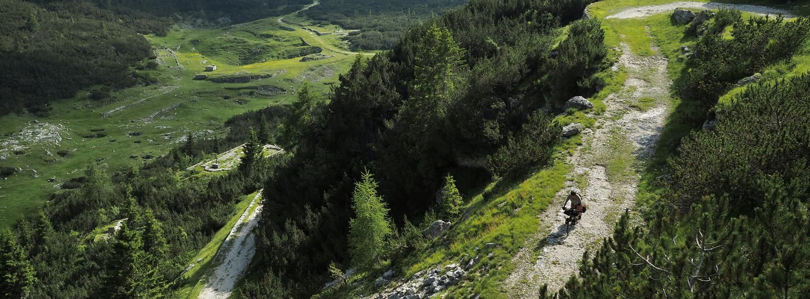
Jogging routes around Caltrano offer diverse landscapes for outdoor activity in the Province of Vicenza, Italy. The region features a mix of historical paths and natural features, including former railway lines converted into cycle paths like the Vaca Mora. Joggers can find routes traversing dirt paths, leading to mountain peaks, and incorporating mountain passes. This varied topography provides opportunities for different types of running experiences.
Best jogging routes around Caltrano
- The most popular jogging route is Malga Serona loop from…
Last updated: June 27, 2026
137
runners
16.2km
02:10
610m
610m
Hard run. Very good fitness required. Sure-footedness, sturdy shoes and alpine experience required.
5.0
(1)
90
runners
13.8km
01:54
630m
630m
Hard run. Very good fitness required. Mostly paved surfaces. Suitable for all skill levels.

Sign up for free
5.0
(1)
64
runners
11.8km
01:32
300m
300m
Hard run. Very good fitness required. Sure-footedness, sturdy shoes and alpine experience required.
23
runners
9.51km
01:01
140m
140m
Moderate run. Good fitness required. Mostly paved surfaces. Suitable for all skill levels.
17
runners
Hard run. Very good fitness required. Mostly paved surfaces. Suitable for all skill levels.
Get access to more routes and recommendations from other explorers.
Sign up for free
Already have an account?
Our route recommendations are based on thousands of hikes, rides, and runs completed by other people on komoot.
Start today with a free account
Your next adventure awaits.
Login or Signup


Other adventures around Caltrano

Tips from the Community

The church of Sant’Agata is a small jewel from the Lombard era (8th century), located in open countryside, not far from the steep slopes of the Astico river: being the oldest in the area, for Cogollo it constitutes the cradle of its Christian faith. It has its apse facing east, like all primitive churches, stone walls and bell tower and until 1915 it had the cemetery next to it. It is very graceful in its simplicity, secluded in an environment of peace and silence, despite the busy state road passing a few hundred meters away. It can only be visited from the outside: it is opened only twice a year, when mass is celebrated.
0
0

iconic refreshment point
0
0

A well-maintained 8th century church that can only be visited from the outside.
1
0

beautiful stretch to reach Arsiero from Piovene Rocchette.... away from traffic and asphalt!!!
0
0

Last stretch of path before reaching the main road, what a view!!
0
0

Panoramic view, breathtaking
2
1
Very nice view, must see
1
0
Frequently Asked Questions
How many running routes are available around Caltrano?
There are over 25 dedicated running routes around Caltrano, offering a variety of experiences for joggers. These include 9 moderate and 17 difficult trails, ensuring options for different fitness levels.
Are there any easy jogging routes for beginners in Caltrano?
While Caltrano's terrain is generally characterized by moderate to difficult trails, with 9 moderate and 17 difficult routes, there are no routes explicitly categorized as 'easy' in the guide data. However, the Caltrano-Chiuppano Bridge loop from Caltrano, though rated difficult, has a lower elevation gain compared to some others, making it a potentially more accessible option for those looking for a longer run without extreme climbs.
What kind of scenery can I expect on the jogging trails in Caltrano?
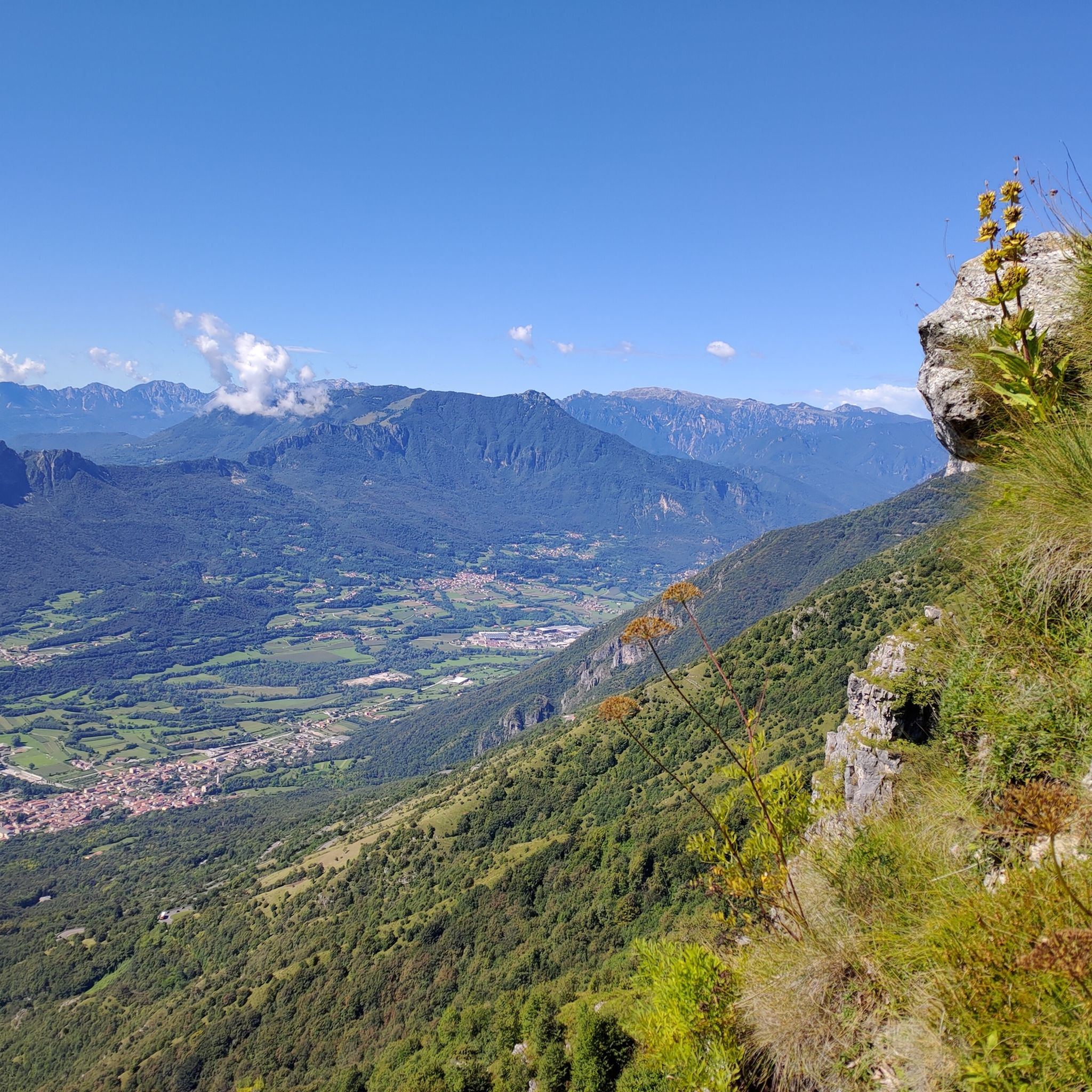
Jogging in Caltrano offers diverse scenery, from historical paths like the former railway line of the Vaca Mora Cycle Path to natural features such as mountain peaks and passes. You can expect panoramic views, especially on routes like the Bocchetta Paù Viewpoint – Pau Mouth loop from Fondi, and paths that traverse varied topography.
Are there any circular running routes in Caltrano?
Yes, many of the running routes in Caltrano are designed as loops, allowing you to start and finish in the same location. Examples include the popular Malga Serona loop from Pozza del Favero and the Running loop from Caltrano.
What are some interesting landmarks or natural attractions to see near the running trails?
The Caltrano area is rich in natural and historical attractions. Along or near the running trails, you might encounter features like the Pach waterfall, the unique Monte Corno Rock Labyrinth, or historical sites such as the Gun Emplacement Tunnel of Monte Cengio. The region also features various caves and gorges that add to the picturesque scenery.
What do other runners say about the trails in Caltrano?
The running routes in Caltrano are highly regarded by the komoot community, holding an average score of 5.0 stars from 3 reviews. Over 500 runners have used komoot to explore the area, often praising the diverse landscapes and challenging terrain.
Are the running routes in Caltrano suitable for trail running?
Absolutely. Caltrano's diverse topography, including mountain peaks, passes, and dirt paths, makes it an excellent location for trail running. Many routes feature significant elevation changes, providing a challenging and rewarding experience for trail runners.
How long are the typical running routes in Caltrano?
The running routes in Caltrano vary in length. For instance, the Bocchetta Paù Viewpoint – Pau Mouth loop from Fondi is about 7.4 miles (11.8 km), while the Rocchette-Arsiero Rail Trail – Stone Bridge over the Posina loop from Cogollo del Cengio extends to over 12.5 miles (20 km), offering options for both shorter and longer runs.
Can I run with my dog on the trails in Caltrano?
While specific regulations for dogs on every trail are not provided, many natural paths and outdoor areas in Italy are generally dog-friendly, especially if dogs are kept on a leash. It's always advisable to check local signage or specific park rules for the area you plan to visit to ensure a pleasant experience for both you and your dog.
What is the best time of year to go jogging in Caltrano?
Caltrano offers opportunities for jogging throughout much of the year due to its varied terrain. Spring and autumn provide pleasant temperatures and vibrant scenery. Summer can be ideal for higher-altitude routes, while winter might offer unique experiences on lower paths, though some mountain trails may be less accessible due to snow or ice.
Are there any routes that follow historical paths?
Yes, the region is known for its historical paths. Notably, the Vaca Mora Cycle Path, developed from a former railway line, offers a scenic route with a mostly compact dirt surface. This path connects the plain and the mountains, allowing joggers to experience a piece of local history.
Most popular routes around Caltrano
Most popular attractions around Caltrano

Get inspired with the komoot mobile app


Explore more
Browse the best Running Trails & Routes in other regions.
