The best walks and hikes around Torrebelvicino
4.3
(499)
2,467
hikers
72
hikes
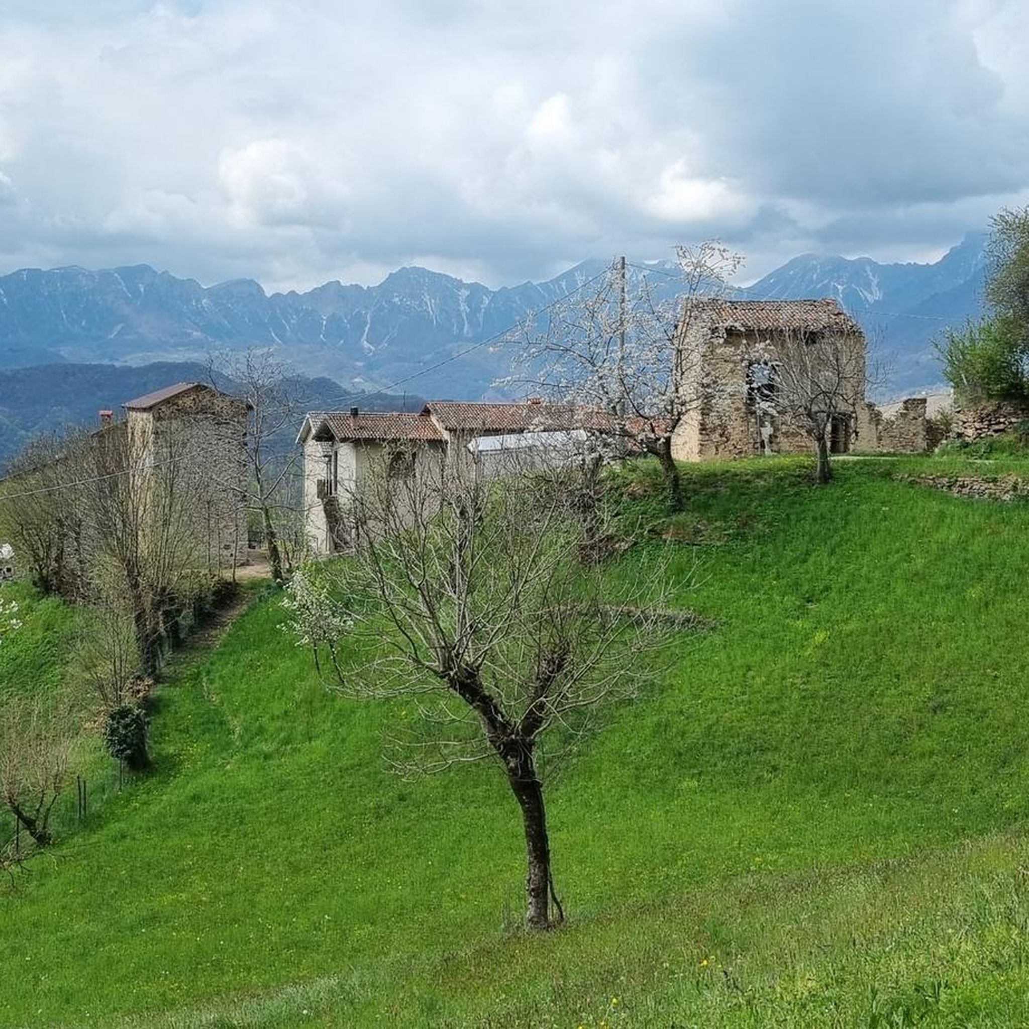
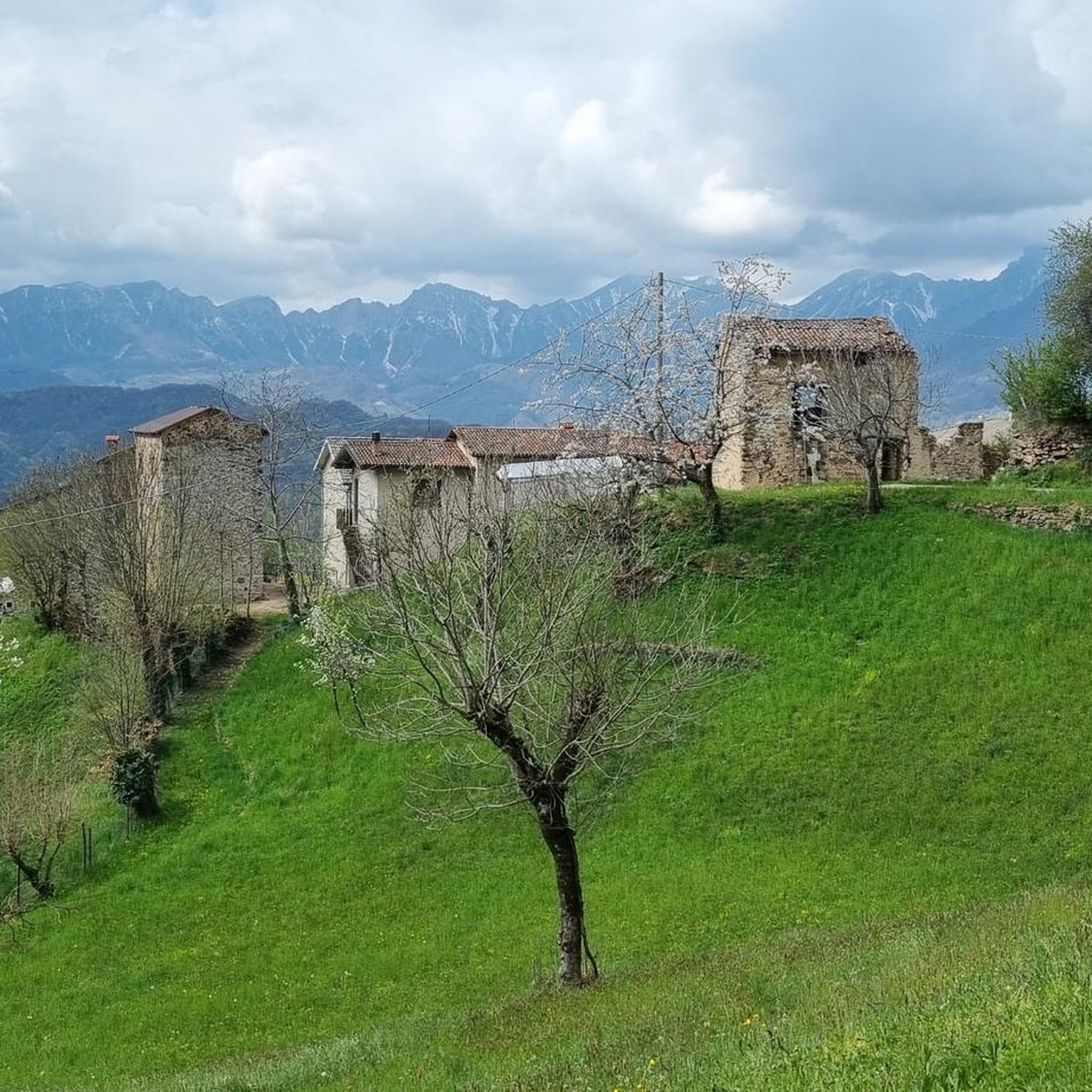
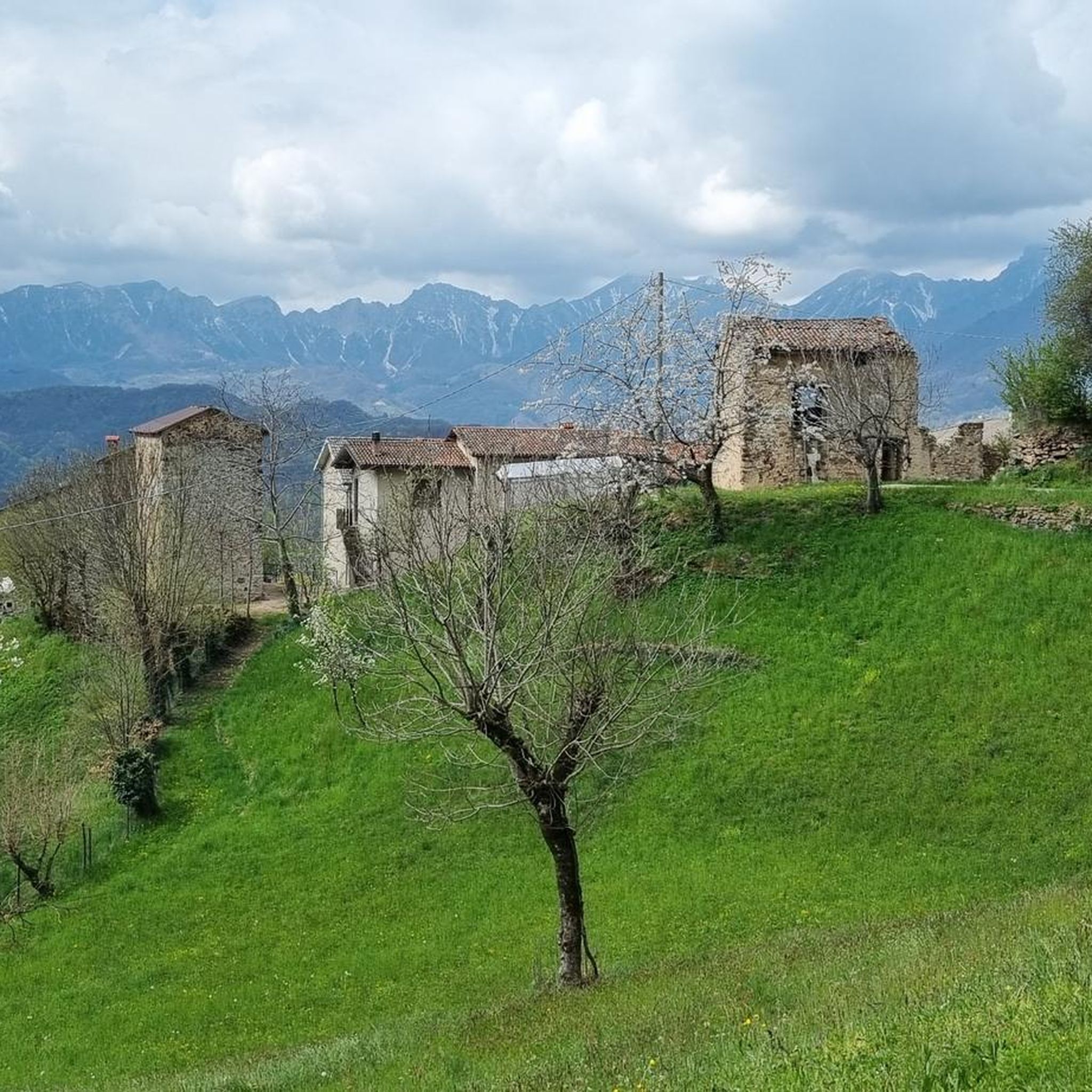
Hiking around Torrebelvicino offers diverse landscapes in the lower Val Leogra, characterized by lush valleys, dense woods, and scenic hills. The region provides views of the Small Dolomites, Pasubio, and the Catena delle Tre Croci. Trails often incorporate historical sites, particularly from World War I, adding a unique dimension to outdoor exploration. The area features mountains like Monte Singìo and Monte Enna, alongside the Val Leogra.
Best hiking trails around Torrebelvicino
- The most popular hiking route is Panoramic trail 31…
Last updated: July 7, 2026
4.7
(26)
129
hikers
13.3km
04:15
540m
540m
Hard hike. Good fitness required. Sure-footedness, sturdy shoes and alpine experience required.
4.7
(29)
85
hikers
8.30km
02:46
360m
360m
Hard hike. Good fitness required. Sure-footedness, sturdy shoes and alpine experience required.

Sign up for free
4.4
(19)
55
hikers
6.06km
01:51
220m
220m
Hike the moderate Monte Enna Trail to explore World War I fortifications, enjoy panoramic views of the Dolomites, and visit the Cross of Mon
4.7
(14)
35
hikers
14.0km
05:10
830m
830m
Hard hike. Very good fitness required. Mostly accessible paths. Sure-footedness required.
4.1
(14)
34
hikers
7.53km
02:39
420m
420m
The Monte Singio e Monte Cengio loop from Manfron di Sopra is a moderate 4.7-mile hike with historical sites and panoramic views.
Get access to more routes and recommendations from other explorers.
Sign up for free
Already have an account?
Our route recommendations are based on thousands of hikes, rides, and runs completed by other people on komoot.
Start today with a free account
Your next adventure awaits.
Login or Signup
Tips from the Community

In Cimbrian the ancient name of the district was Henne.
0
0

Every Christmas since 1986, the largest bright comet in Italy, and perhaps Europe, has hovered between Mount Cengio and nearby Mount Singìo: 360 meters long, a star with eight 32-meter rays, 166 LED lights... it's visible up to 30 km away! During those days, the Stella Cometa Group's hut serves as a base camp and shelter for volunteers, as well as a reception area for visitors. But the small refuge in the woods is open year-round, available to hikers. It has a curious appearance: from the outside, it resembles a shack assembled from recycled materials; inside, it is cozy, spacious, and equipped with large tables, a fireplace, and a kitchenette. A rudimentary yet ingenious pulley system makes the door self-closing, protecting it from the elements! https://www.gruppostellacometa.com https://www.youtube.com/watch?v=VS8XGtxLwbU
0
0

The Passo della Camonda shrine is in effect a refuge used by merchants and wayfarers who traveled from the Agno Valley to the Leogra Valley. The pass was also one of the strongholds of the Italian defensive line during the First World War.
0
0

Camonda Pass route leading to Busellati district
0
0

Historic 15th century bridge restored in 2024, worth seeing
1
0

The summit of Civillina is wide, grassy and very panoramic with a wide view of the Vicenza and Trentino Prealps, today unfortunately covered by clouds and mist. There are also numerous trenches and other very well preserved or recovered war artefacts. Finally, congratulations for the comprehensive explanations posted on numerous information panels along the entire itinerary.
0
0
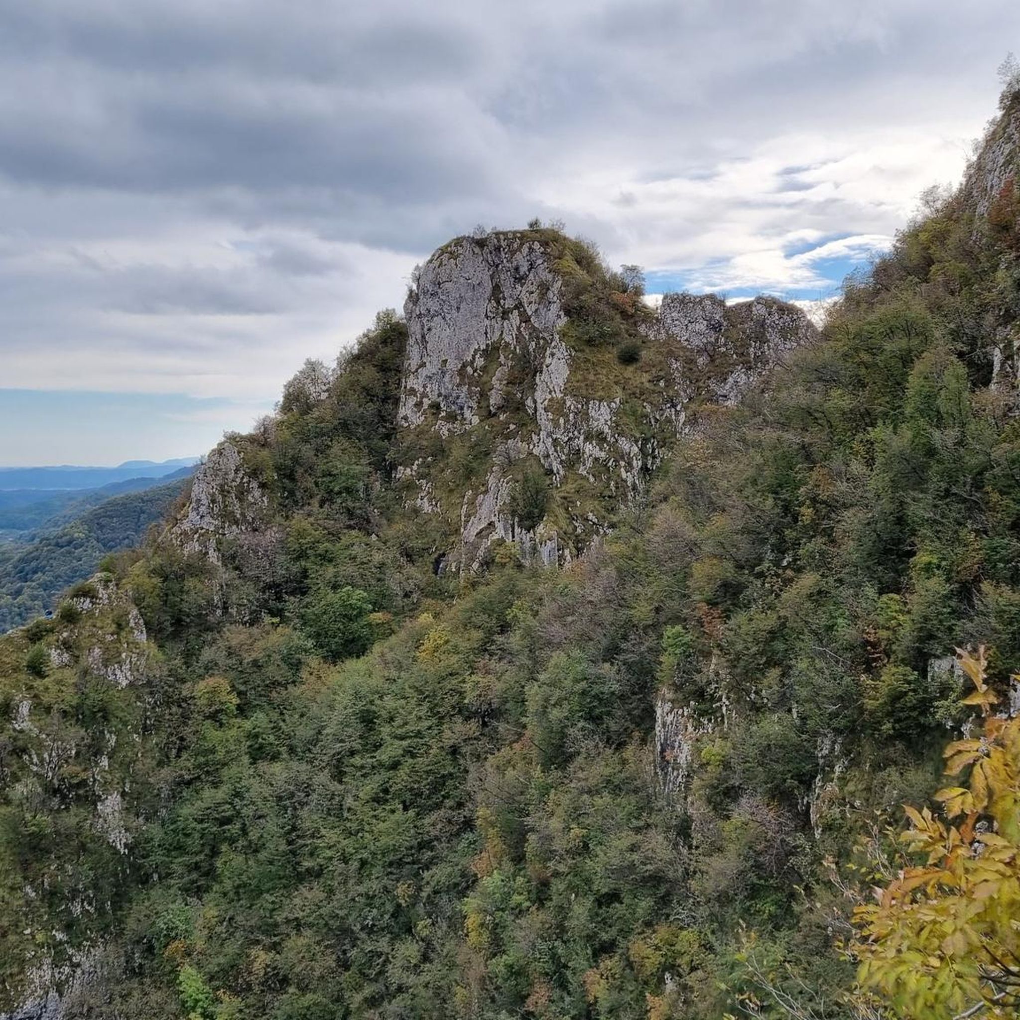
The Mount Enna cross is located on a panoramic balcony with a breathtaking view of the upper Leogra Valley and the Little Dolomites that crown it: from left to right, the Carega, the Sengio Alto mountain range with Mount Cornetto, the Pian delle Fugazze pass, and the Pasubio massif. P.S.: The highest point of Mount Enna is actually on the opposite side, a 5-minute walk away, at the Great War Observatory (975 meters above sea level), which overlooks the Novegno and Tretto Plateau.
4
0

The Camonda Pass where the characteristic capital is located can be reached in about ten minutes from the SP246 road which from the hamlet of Bonomini (Recoaro) leads to Rovegliana (from here just follow the signs for Contrada Camonda). Camonda Pass. Historical reference The Orthogonal strategic line 1, which from Campogrosso continued with a linear trend on the watershed between the Agno and Leogra valleys, was characterized by the strongholds of Cucco Moro, Some and Locchetta and on the Camonda pass, was part of the complex defensive system of Monte Civillina – Monte Cengio. This line, following the directives of Gen. Cadorna, Chief of Staff of the Army, was abandoned and replaced in the spring of 1917 with two vertical lines: the Sentinello further south and the one from the Camonda Pass to the top of the stronghold, inserted in the new Orthogonal 1; both were equipped with machine gun positions in the cave and served by two comfortable mule tracks. A third mule track went up the eastern side of the mountain from the Manfron pass, close to the Civillina – Monte Cengio line.
0
0
Frequently Asked Questions
What kind of hiking trails can I find around Torrebelvicino?
Torrebelvicino offers a diverse network of trails, ranging from easy loops through lush valleys and dense woods to more challenging mountain hikes. You'll find paths with panoramic views of the Small Dolomites, Pasubio, and the Catena delle Tre Croci, as well as routes incorporating significant World War I historical sites.
Are there any easy or moderate hiking options suitable for beginners or families?
Yes, Torrebelvicino has several easy and moderate trails. For instance, the Monte Enna Trail is a moderate 6 km path that takes less than 2 hours, offering a good balance of natural beauty without extreme difficulty. Another moderate option is the Contrada Tringole da Pievebelvicino – loop tour, which is around 11 km and takes about 3 hours 20 minutes.
Are there any circular hiking routes in the area?
Many trails around Torrebelvicino are designed as loops, offering varied scenery without retracing your steps. Examples include the challenging Panoramic trail 31 of Val Leogra – loop from Torrebelvicino, or the Monte Civillina and Monte Cengio from Ponte Capre – loop tour, which passes through hamlets and panoramic meadows.
What historical sites can I explore while hiking near Torrebelvicino?
The region is rich in World War I history. You can hike to Forte Enna on Monte Enna, an old fortress with artillery barracks and observatories. Further afield, the famous Strada delle 52 Gallerie on Pasubio is an impressive WWI engineering feat, offering a unique historical trekking experience.
Are there any waterfalls or natural attractions to see?
Yes, the area features several beautiful waterfalls. You can visit the Papalini Waterfall, the Sette Fontane Waterfall, or the Glass Cube and Brazzavalle Waterfall. The Val del Boia is also a notable gorge in the region.
What are the views like on hikes around Torrebelvicino?
Hikers can expect breathtaking panoramic views. Many trails offer extensive vistas of the Val Leogra and the surrounding mountains, including the dramatic Small Dolomites, Pasubio, Carega, and the Catena delle Tre Croci. The Panoramic trail 31 of Val Leogra is specifically known for its wide-ranging views.
What do other hikers say about the trails in Torrebelvicino?
The trails in Torrebelvicino are highly regarded by the komoot community, with an average rating of 4.3 stars from over 440 reviews. Hikers often praise the diverse landscapes, the well-maintained paths, and the unique combination of natural beauty with historical significance, especially the WWI sites.
Are there any trails that lead to mountain huts or refuges?
Yes, the region provides access to significant mountain huts. The Rifugio Generale Achille Papa, located at 1928 meters on the edge of Val Canale, is a key point for excursions. Additionally, the Cesare Battisti Hut at Tre Croci serves as another starting point for many adventures and is part of the European Path E5.
Can I find trails that explore ancient mines or geological features?
Absolutely. The Valle dei Mercanti features a geological and mineralogical path that runs alongside a network of ancient mines. Along this path, you can still observe mineral sediments, excavations, and tunnels, offering a unique insight into the region's industrial past.
What is the best season for hiking in Torrebelvicino?
While specific recommendations vary, the diverse terrain of Torrebelvicino generally makes it suitable for hiking across multiple seasons. Spring and autumn offer pleasant temperatures and vibrant scenery, while summer is ideal for higher altitude routes. Always check local conditions before heading out.
How many hiking trails are available in Torrebelvicino?
There are over 70 hiking trails available around Torrebelvicino, catering to various skill levels. This includes approximately 14 easy routes, 40 moderate routes, and 17 difficult routes, ensuring options for everyone from casual walkers to experienced mountaineers.
Most popular routes around Torrebelvicino
Most popular attractions around Torrebelvicino

Get inspired with the komoot mobile app


Explore more
Browse the best Hikes in other regions.
