The best walks and hikes around Schlüsselfeld
4.4
(209)
619
hikers
92
hikes
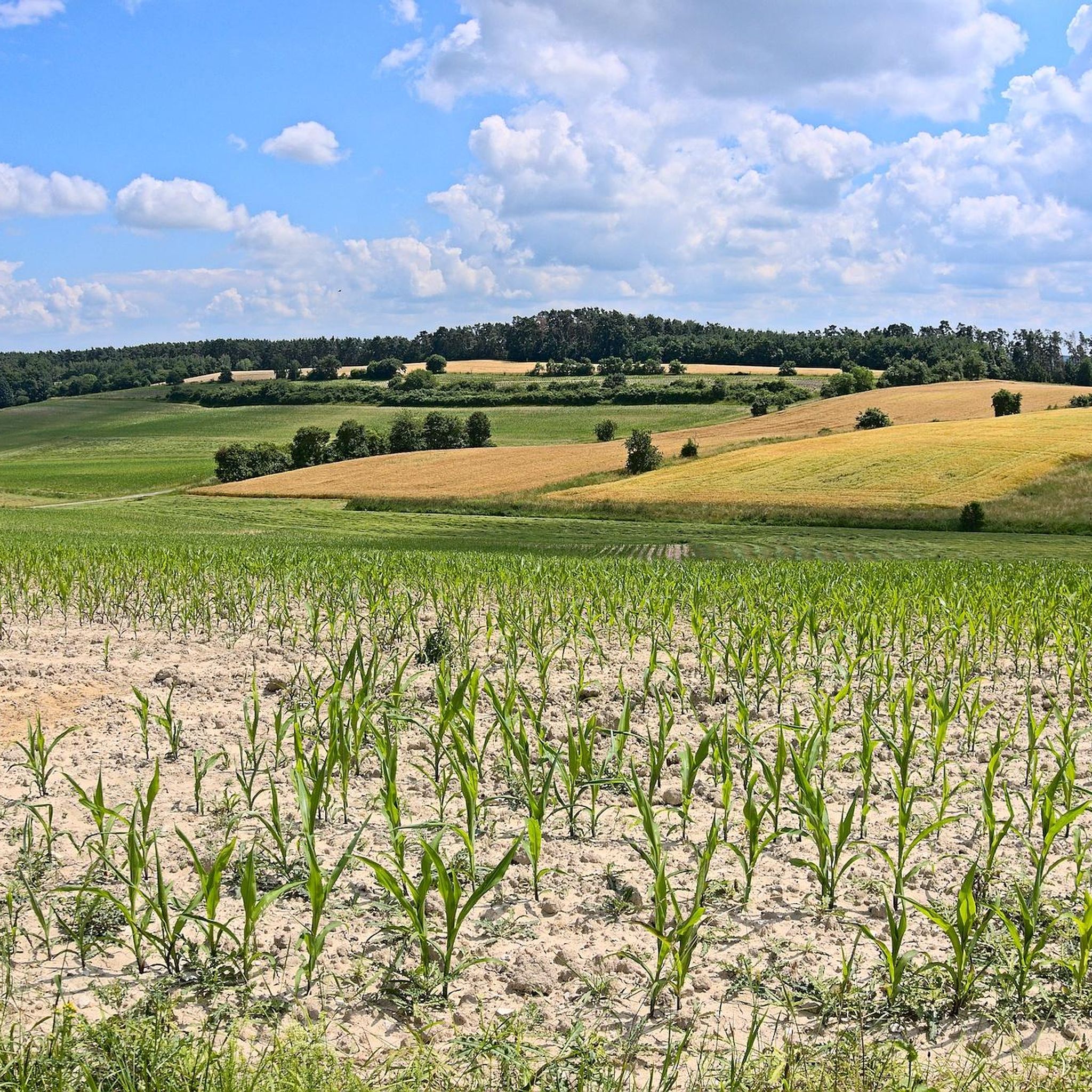
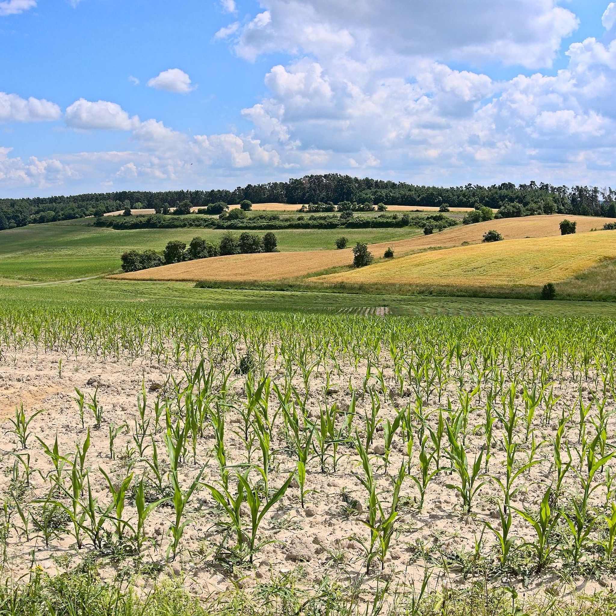
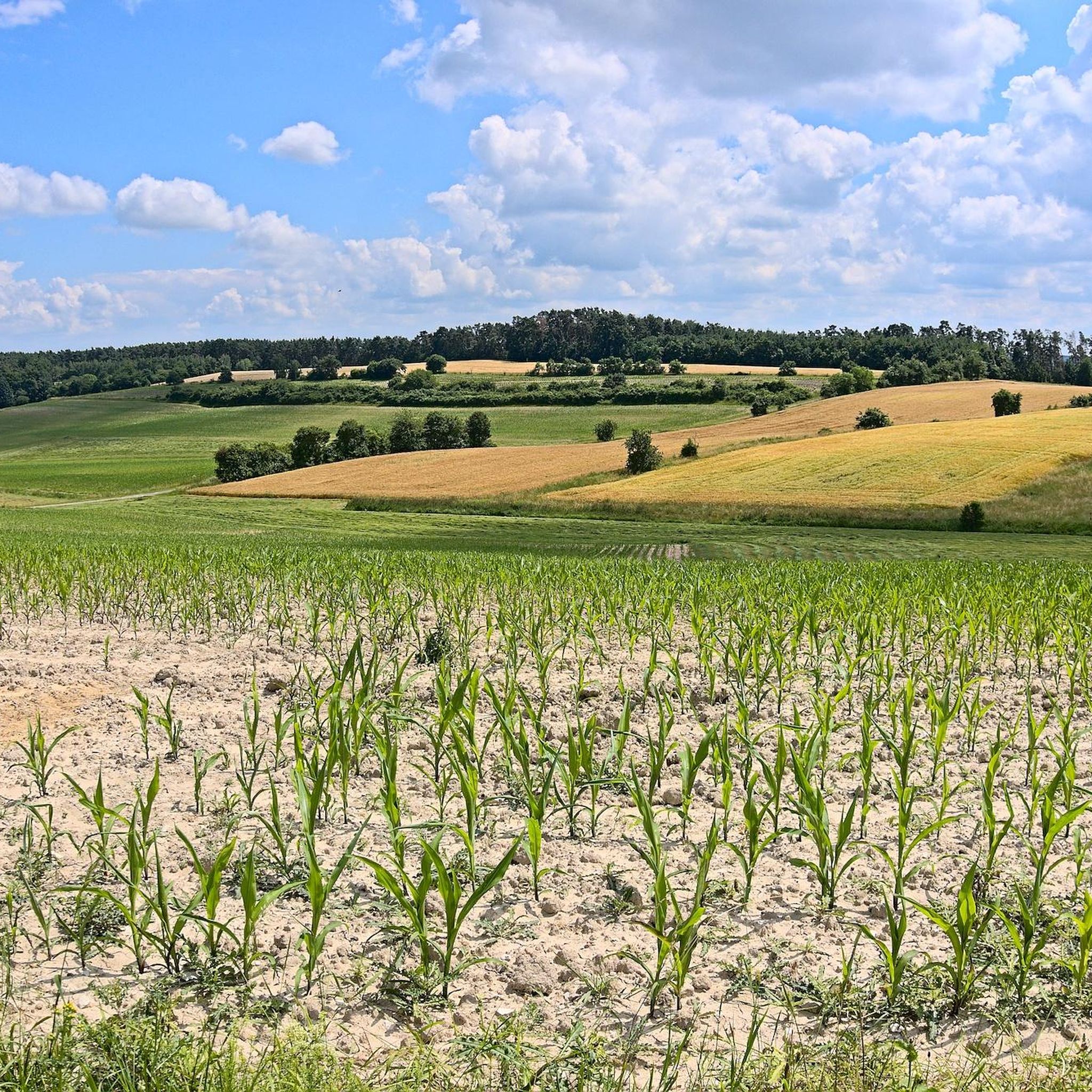
Hiking around Schlüsselfeld offers diverse landscapes, situated between the dense woodlands of the Steigerwald and the impressive rock formations and romantic valleys of Franconian Switzerland. This geographical position provides varied terrain for outdoor activities. The region features extensive forest paths and picturesque valleys, suitable for different hiking preferences.
Best hiking trails around Schlüsselfeld
- The most popular hiking route is Upper Gate, Schlüsselfeld – St. Peter's Fountain, Schlüsselfeld loop from Schlüsselfeld, a 4.8 miles (7.8 km) moderate trail that takes…
Last updated: October 4, 2026
4.2
(14)
42
hikers
7.78km
02:08
110m
110m
Moderate hike. Good fitness required. Mostly accessible paths. Sure-footedness required.
5.0
(1)
23
hikers
Moderate hike. Good fitness required. Easily-accessible paths. Suitable for all skill levels.

4.3
(9)
29
hikers
Hard hike. Very good fitness required. Mostly accessible paths. Sure-footedness required.
3.6
(5)
24
hikers
12.0km
03:17
180m
180m
Moderate hike. Good fitness required. Easily-accessible paths. Suitable for all skill levels.
4.5
(2)
17
hikers
12.6km
03:27
190m
190m
Moderate hike. Good fitness required. Easily-accessible paths. Suitable for all skill levels.
Get access to more routes and recommendations from other explorers.
Already have an account?
Our route recommendations are based on thousands of hikes, rides, and runs completed by other people on komoot.
Start today with a free account
Your next adventure awaits.

Tips from the Community

With bench super corner except a bit many brakes (mosquitoes)
0
0

A good reference point when entering or leaving the old town of Schlüsselfeld. If you’re coming from the forest or from Mönchhansbach, this gate marks the start of the quiet streets in the center. Perfect spot for a short pause before continuing your ride. And do not miss the narrow passage Obere Tor Passage — A passage so narrow your bike almost has to walk on tiptoes… but full of medieval charm, with cool shade inside and warm light waiting at the end. A tiny time‑tunnel right in Schlüsselfeld.
0
0

The gate at the back is unlocked but very difficult to open. Relevant if you approach from the back via the stone stairs; alternatively, you can climb over the wall.
0
0

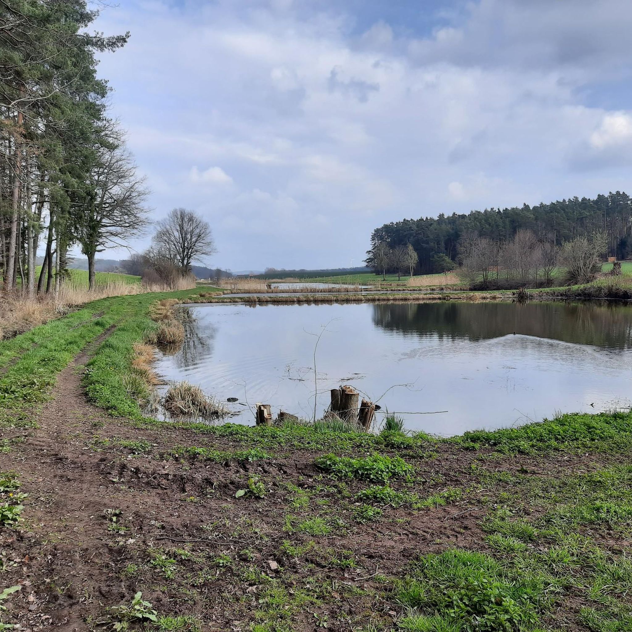
Here the Debersdorf stream branches off to form a chain of ponds used for carp farming.
0
0

very good ice cream parlor, which you can lick at the fountain.
0
0
There is very delicious ice cream here!
0
0

For information about the Petrusbrunnen see information board
0
0
Information about the Schlüsselfeld City Gate https://www.drei-franken-info.de/bizz/stadttor-schluesselfeld/
0
0
Frequently Asked Questions
How many hiking trails are available around Schlüsselfeld?
There are over 90 hiking routes around Schlüsselfeld, offering a wide range of experiences. These trails traverse diverse landscapes, from the dense woodlands of the Steigerwald to the impressive rock formations and romantic valleys of Franconian Switzerland.
What kind of landscapes can I expect to see while hiking in Schlüsselfeld?
Hikers in Schlüsselfeld can expect a varied landscape. To the west, the Steigerwald offers extensive dense woodlands and tranquil forest paths. To the east, Franconian Switzerland provides dramatic scenery with impressive rock formations and romantic valleys. You'll find a mix of picturesque forest paths and open views throughout the region.
Are there easy hiking trails suitable for beginners or casual walkers?
Yes, Schlüsselfeld offers many easy hiking options. Over 50 of the available routes are classified as easy, making them perfect for beginners, families, or those looking for a relaxed stroll. These trails often lead through pleasant forest paths and offer gentle gradients.
Are there any family-friendly hiking routes in the area?
Absolutely. The region is well-suited for families. A notable option is the Nature Adventure Trail, a short circular trail that follows a stream and features engaging activities like climbing and balancing stations, making it ideal for children.
Can I find circular hiking routes around Schlüsselfeld?
Yes, circular routes are a prominent feature of hiking in Schlüsselfeld. The area boasts around 80 km of well-constructed circular routes. For example, the Upper Gate, Schlüsselfeld – St. Peter's Fountain, Schlüsselfeld loop from Schlüsselfeld is a popular moderate circular trail, and the Steigerwald Circular Trail offers a comprehensive insight into the forest landscape.
What are some notable landmarks or attractions I can see on a hike?
While hiking, you can discover several interesting landmarks. The Drei-Franken-Stein, marking the confluence of three Franconian administrative districts, is a significant highlight. You might also encounter the Brunnstube natural forest reserve within the Steigerwald. For specific points of interest, consider visiting the Birdwatching Hut at Uehlfeld Stork Trail or the Gottesgab Fish Ponds.
What is the best time of year to go hiking in Schlüsselfeld?
The best times for hiking in Schlüsselfeld are spring and autumn. During these seasons, the weather is pleasantly mild, and nature is either in full bloom or showcasing vibrant autumnal colors. In summer, early morning or evening hikes are recommended due to potentially hot temperatures.
Are there any longer or more challenging routes for experienced hikers?
Yes, for experienced hikers, there are more challenging options. The Upper Gate, Schlüsselfeld – Burghaslach Market Square loop from Schlüsselfeld is an 18.6 km trail classified as difficult. Additionally, the Franconian Switzerland Trail, a renowned long-distance path, passes directly through Schlüsselfeld, offering extensive hiking opportunities.
Are there any routes that pass by lakes or water features?
Yes, some routes incorporate water features. The Haus des Winters Picnic Area – Carp Pond Near Wüstenbuch loop from Thüngbach winds through natural landscapes including a carp pond. The Natural Swimming Pool in Ebrach also offers a refreshing stop along some routes, such as the Big Southern Tour - Trekking Experience Steigerwald.
What do other hikers say about the trails in Schlüsselfeld?
The hiking routes in Schlüsselfeld are highly rated by the komoot community, with an average score of 4.4 stars from over 180 reviews. Hikers often praise the diverse terrain, well-marked paths, and the beautiful blend of dense woodlands and impressive rock formations.
Is there public transport access to the hiking trails?
Schlüsselfeld is connected to other towns like Bamberg and Ebrach by long-distance walking trails, which can sometimes align with public transport hubs. While specific public transport details for trailheads vary, the town itself serves as a central point for accessing the wider network of paths.
Are there options for food and drink along the hiking routes?
While specific cafes or pubs directly on every trail are not listed, the region's small villages and towns, including Schlüsselfeld itself, offer opportunities for refreshments. Some longer routes, like the Big Southern Tour - Trekking Experience Steigerwald, traverse small villages where you might find places to stop.
Most popular routes around Schlüsselfeld
Most popular attractions around Schlüsselfeld

Get inspired with the komoot mobile app


Explore more
Browse the best Hikes in other regions.
