The best walks and hikes around San Vito Di Leguzzano
4.4
(1843)
8,662
hikers
23
hikes
Hiking around San Vito di Leguzzano offers diverse landscapes in Italy's Veneto region, characterized by hilly terrain and agricultural areas. The surroundings feature rolling hills, vineyards, and olive groves, providing scenic views. Proximity to regional parks and mountainous areas like Monte Grappa and Monte Summano contributes to varied hiking experiences, from gentle ascents to more challenging climbs. The region's natural features include lush forests and diverse ecosystems.
Best hiking trails around San Vito di Leguzzano
- The most popular hiking route…
Last updated: July 9, 2026
4.0
(6)
36
hikers
11.0km
03:21
360m
360m
Moderate hike. Good fitness required. Easily-accessible paths. Suitable for all skill levels.
3.7
(3)
32
hikers
6.60km
01:51
130m
130m
Easy hike. Great for any fitness level. Easily-accessible paths. Suitable for all skill levels.

Sign up for free
5.0
(2)
3
hikers
6.46km
01:53
180m
180m
Easy hike. Great for any fitness level. Easily-accessible paths. Suitable for all skill levels.
14
hikers
Moderate hike. Good fitness required. Easily-accessible paths. Suitable for all skill levels.
11
hikers
11.5km
03:14
230m
230m
Moderate hike. Good fitness required. Easily-accessible paths. Suitable for all skill levels.
Get access to more routes and recommendations from other explorers.
Sign up for free
Already have an account?
Our route recommendations are based on thousands of hikes, rides, and runs completed by other people on komoot.
Start today with a free account
Your next adventure awaits.
Login or Signup

Tips from the Community

*UPDATE January 2025: unfortunately the little bridge collapsed (or was demolished for safety reasons). What a shame.
2
0

A large bench, it intrigued me,
0
0

Nice little house built by the residents 😁
0
0
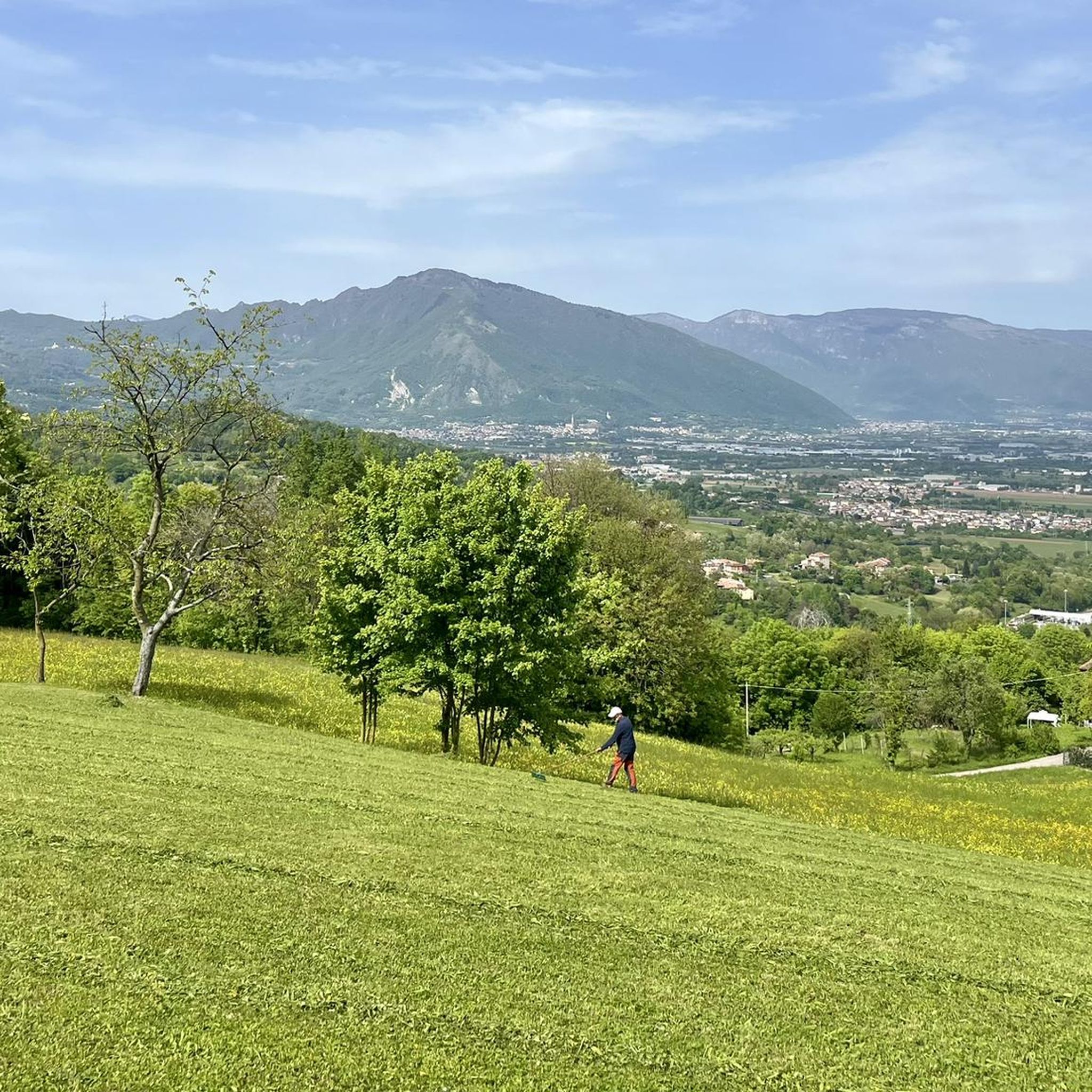
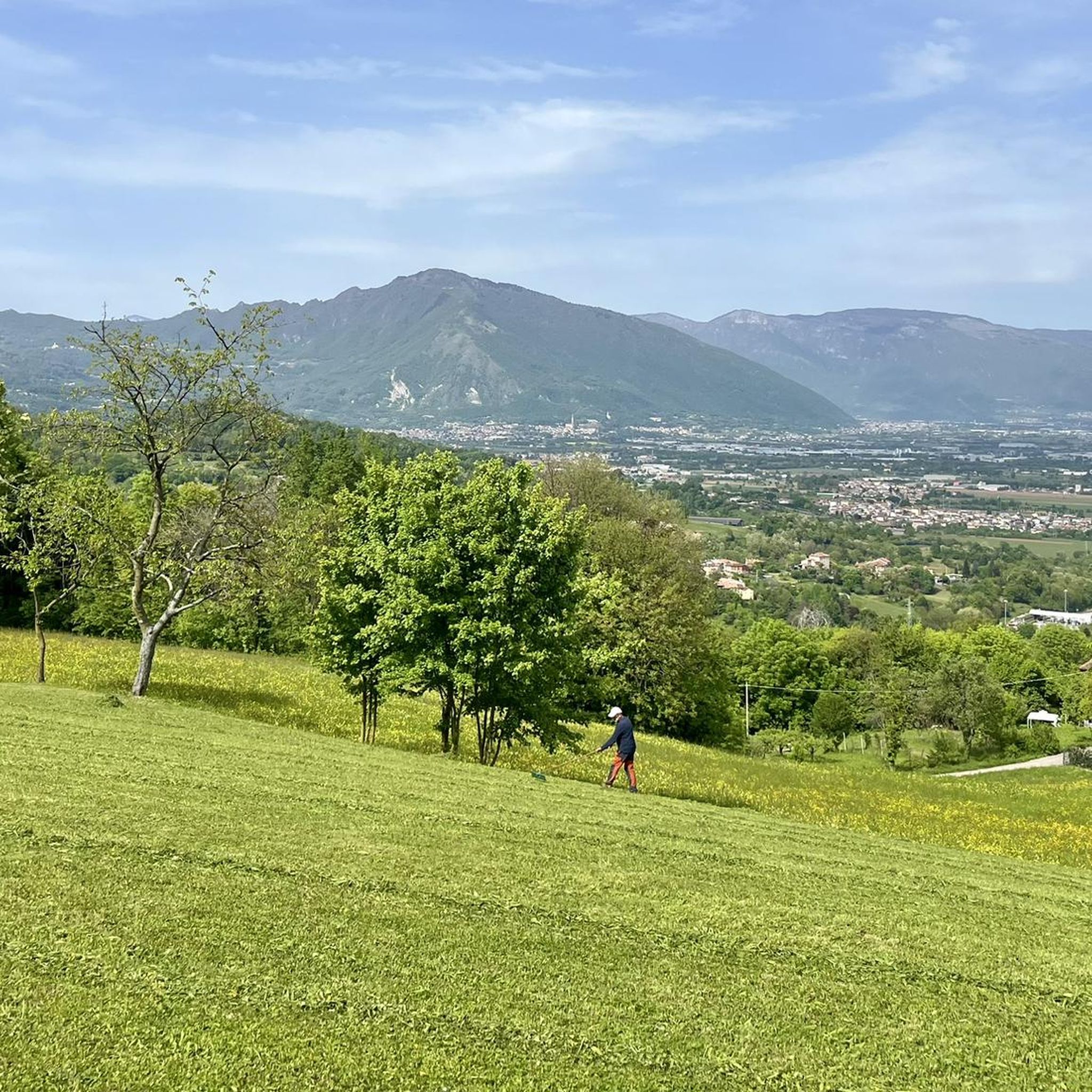
The Giant Rainbow Bench in San Vito di Leguzzano sits atop a beautifully manicured, rounded lawn, with a stunning view of the Vicenza foothills and mountains. The trend of "big benches" in scenic spots has spread freely everywhere, initiated by organizations and private individuals. There's also the official Big Bench Community project, launched in 2010 in Piedmont based on an idea by American designer Chris Bangle, but not all the giant benches you see around are part of it (his benches have a specific design, a sequential number, and a certification): https://bigbenchcommunityproject.org/it/homepage
2
0
Memorial monument to the war dead in the town of S. Vito
0
0
Among the artefacts that still bear witness to the Great War in San Vito di Leguzzano, the military reserve stands out, re-emerged in 1990 during the laying of the sewer system. Built in reinforced concrete, it consists of an underground room measuring 8.05 x 2.05 m and 2.50 m high, which is accessed via two flights of stairs. The reserve, probably built in 1917-1918 after the defeat of Caporetto, was to serve as an ammunition depot for one or more cannons positioned nearby, but at a safe distance, and aimed towards the mountains above Schio. The memory of a second underground structure remains, beyond the Merlaro bridge, traces of which have been lost. Other signs of the war period can be recognized in via Manzoni and in via Santa Maria Maddalena: these are slits for shooting rifle or machine gun fire in border walls.
0
0
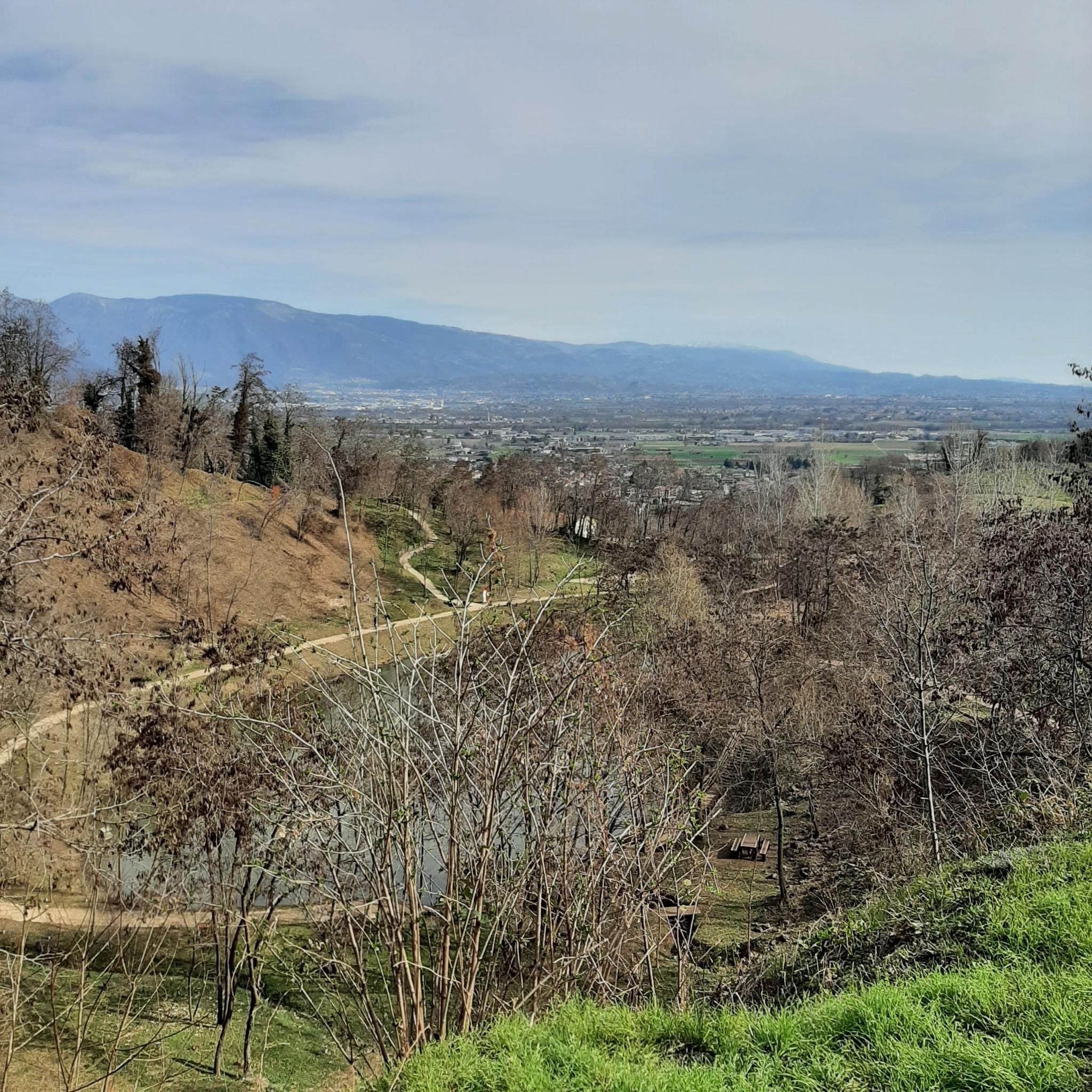
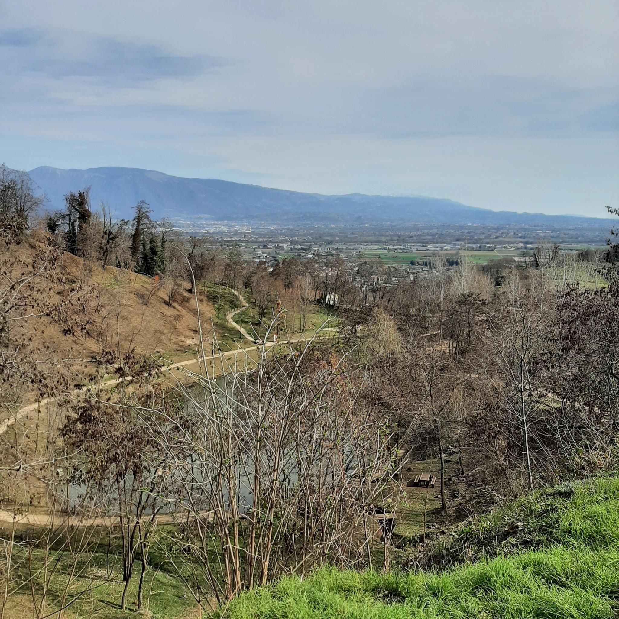
Excellent "mountain" to enjoy a fantastic view, various feasible routes, suitable for everyone. Just pay attention to the track because you risk losing it and ending up in the middle of the roller coasters.
0
0
Giant bench easily reachable on foot for everyone for a nice photo
0
0
Frequently Asked Questions
What kind of landscapes can I expect to see while hiking around San Vito di Leguzzano?
The area around San Vito di Leguzzano offers diverse landscapes, from rolling hills covered in vineyards and olive groves to lush forests and agricultural areas. You'll find picturesque views of the Veneto plains, and for more challenging hikes, proximity to mountainous regions like Monte Grappa and Monte Summano provides panoramic vistas and more rugged terrain.
Are there hiking trails suitable for families or beginners in San Vito di Leguzzano?
Yes, there are several easy trails perfect for families or those new to hiking. For instance, the Hiking loop from San Vito di Leguzzano is a gentle 3.9 km path that takes about an hour to complete. Another accessible option is the loop from Contrà Busolo, which covers 7.7 km with a moderate elevation gain.
What are some notable natural features or viewpoints to discover on the trails?
Hikers can enjoy breathtaking panoramic views from the summit of Monte Summano, a significant natural feature easily accessible from the town. The broader region also boasts the renowned scenery of the Small Dolomites. Additionally, some regional parks nearby feature dramatic karst landscapes and underground caves, adding to the natural diversity.
Are there any historical landmarks or attractions along the hiking routes?
Yes, for those interested in history, the nearby Monte Grappa Regional Park features numerous trails that lead to historic fortresses and medieval castles. You can also visit the Summano Summit Cross, or the Chiesetta di San Valentino, which are notable points of interest in the area.
What is the best time of year to go hiking in San Vito di Leguzzano?
The Veneto region generally offers pleasant hiking conditions during spring and autumn, when temperatures are mild and the landscapes are vibrant with blooming flowers or rich autumn colors. Summer can be warm, but higher elevation trails offer cooler air. Winter hiking is possible, especially on lower-lying trails, but always check local conditions.
Are there any circular hiking routes available?
Many of the trails around San Vito di Leguzzano are designed as loops, offering varied scenery without retracing your steps. Examples include the popular Val dei Molini – Big Bench S. Vito loop and the Gnomes of Via Vale – Big Bench S. Vito loop, both providing a comprehensive experience of the local terrain.
How many hiking trails are available in the San Vito di Leguzzano area?
There are over 19 hiking routes available around San Vito di Leguzzano, catering to various skill levels. These include 10 easy trails, 8 moderate routes, and 1 more challenging option, ensuring there's something for everyone.
What do other hikers say about the trails in San Vito di Leguzzano?
The hiking routes in San Vito di Leguzzano are highly rated by the komoot community, with an average score of 4.5 stars from over 1700 reviews. Hikers often praise the diverse terrain, well-marked paths, and the scenic views offered by the rolling hills and regional parks.
Are dogs allowed on the hiking trails around San Vito di Leguzzano?
Generally, dogs are welcome on many hiking trails in Italy, especially if kept on a leash. However, it's always advisable to check specific park regulations or trail signs, particularly in protected natural areas, to ensure dog-friendly access.
Are there any moderate hikes for those looking for a bit more challenge?
Yes, for hikers seeking a moderate challenge, options like the Parco Natura Aganè – Laghetto di Marsia loop offer a good workout. This route covers approximately 11.7 km with about 300 meters of elevation gain, taking around 3 hours and 24 minutes to complete.
Is public transport available to reach the trailheads?
While San Vito di Leguzzano is accessible by local public transport, direct connections to specific trailheads might be limited. It's recommended to check local bus schedules or consider using a car to reach the starting points of many hiking routes, especially those further afield in regional parks.
Where can I find parking for hiking in San Vito di Leguzzano?
Parking is generally available in or near the town center of San Vito di Leguzzano. For specific trailheads, look for designated parking areas at popular starting points or near attractions like the Big Bench S. Vito. It's always a good idea to arrive early, especially on weekends, to secure a spot.
Most popular routes around San Vito Di Leguzzano
Most popular attractions around San Vito Di Leguzzano

Get inspired with the komoot mobile app


Explore more
Browse the best Hikes in other regions.
