The best walks and hikes around Montecorvino Rovella
4.4
(188)
527
hikers
42
hikes
Hiking around Montecorvino Rovella offers access to the diverse terrain of the Monti Picentini Regional Park, characterized by its dolomitic-limestone chain. The region features extensive forest expanses and mountainous landscapes. Several hiking routes follow the Tusciano River, providing riverine scenery. The area also includes various peaks and hills, offering panoramic views of the surrounding Picentini Mountains.
Best hiking trails around Montecorvino Rovella
- The most popular hiking route is Along the Tusciano river – loop from Ariano in the Parco Regionale…
Last updated: July 8, 2026
4.6
(17)
25
hikers
Moderate hike. Good fitness required. Easily-accessible paths. Suitable for all skill levels.
3.0
(2)
3
hikers
5.12km
01:45
250m
260m
Easy hike. Great for any fitness level. Easily-accessible paths. Suitable for all skill levels.

Sign up for free
5.0
(1)
5
hikers
Hard hike. Very good fitness required. Easily-accessible paths. Suitable for all skill levels.
4.6
(10)
28
hikers
Moderate hike. Good fitness required. Easily-accessible paths. Suitable for all skill levels.
4.9
(10)
49
hikers
Hard hike. Good fitness required. Sure-footedness, sturdy shoes and alpine experience required.
Get access to more routes and recommendations from other explorers.
Sign up for free
Already have an account?
Our route recommendations are based on thousands of hikes, rides, and runs completed by other people on komoot.
Start today with a free account
Your next adventure awaits.
Login or Signup
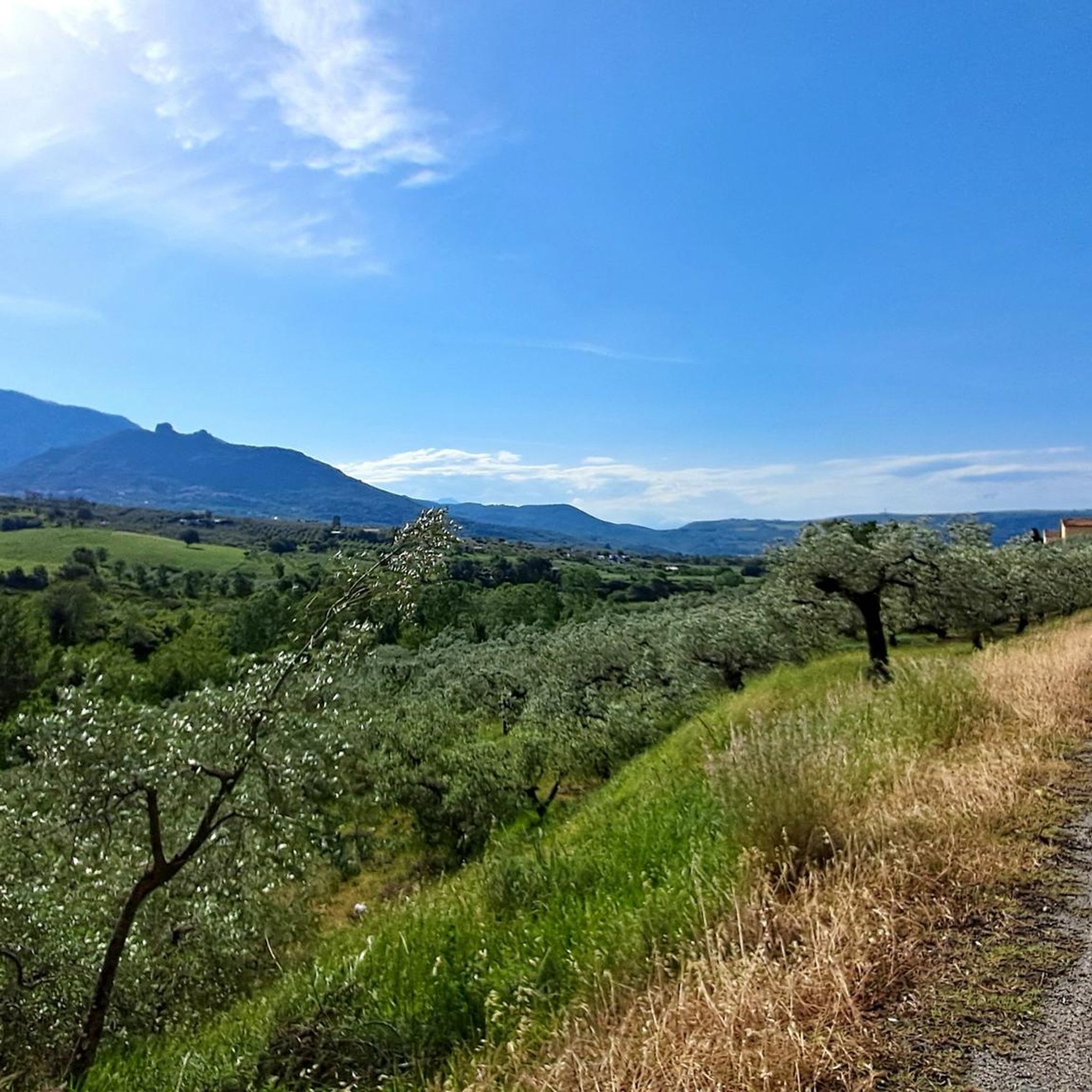
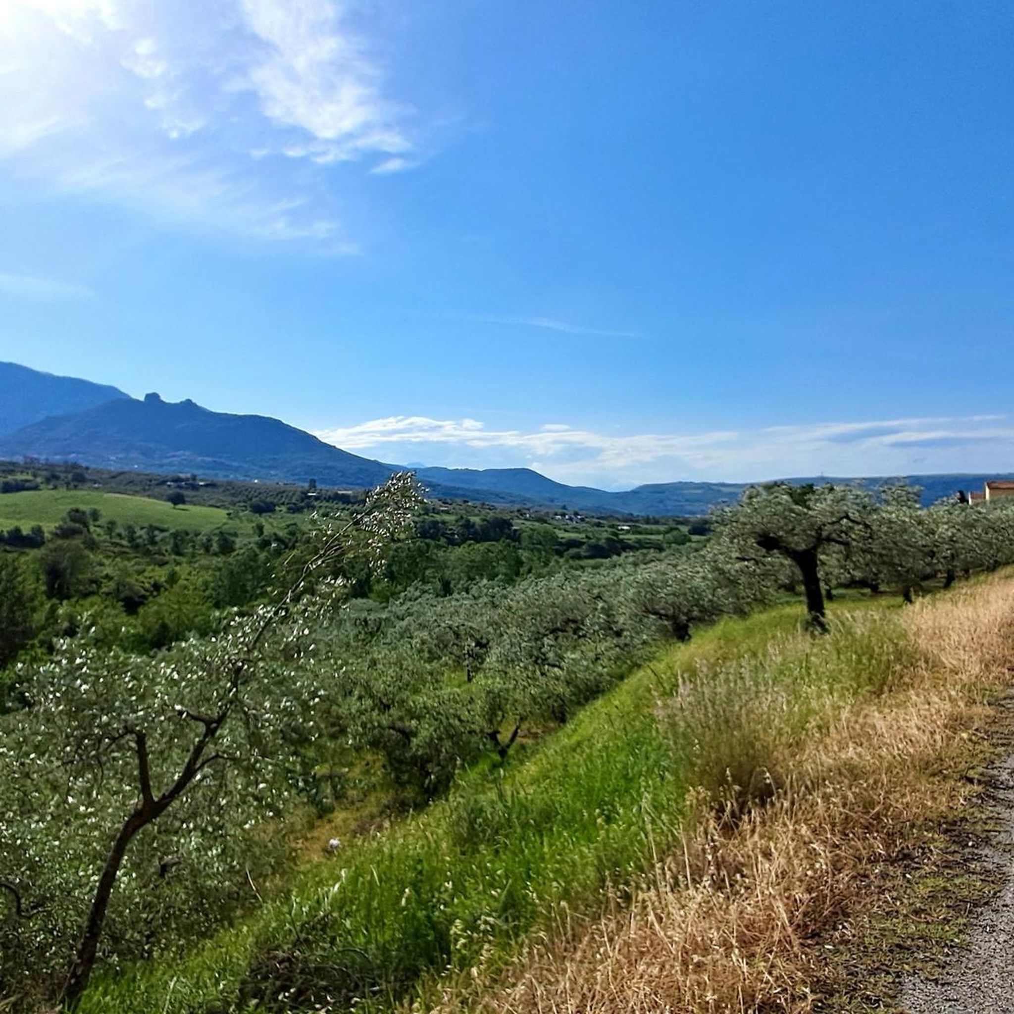
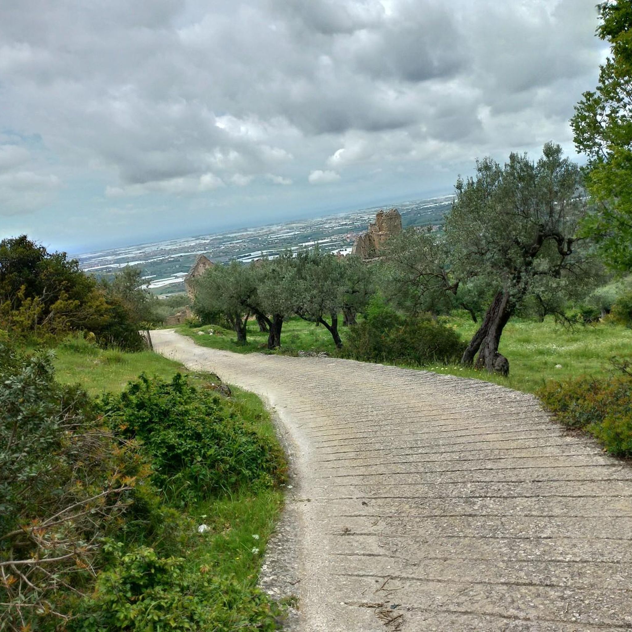
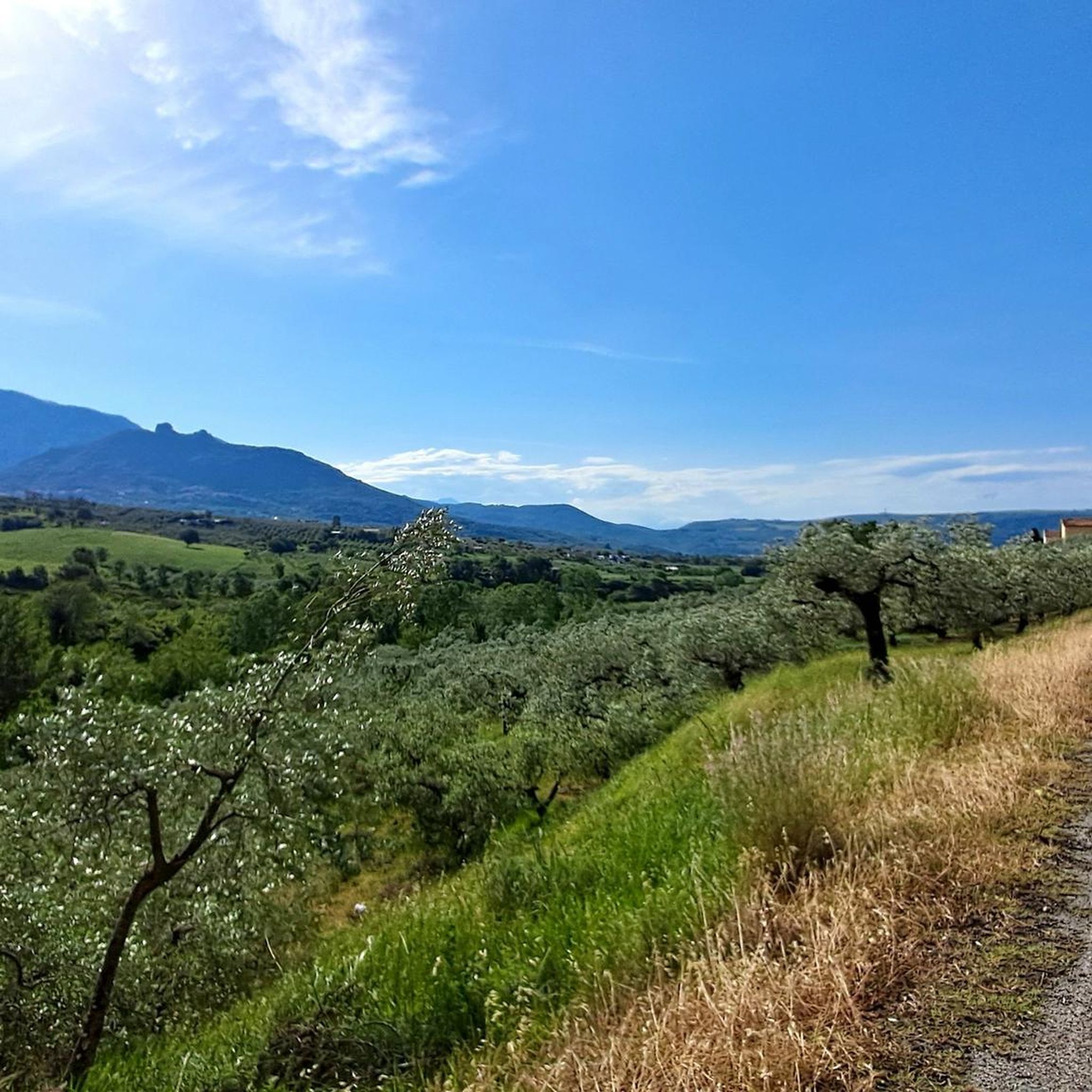

Tips from the Community

Convent Ruins
1
0

Picnic rest area with tables, water supply, river
1
0

Variant of a few hundred meters. Interesting but challenging to overcome the rocky vein.
3
0
This is the Porta di monte Accellica (1250 m). My friend Alessandro, an expert on the mountain, told me that from this point begins "l'Accellica" and you notice it, especially in summer, with a significant change in temperature and wind.
2
0
The Bivacco S. Raione is found at 1400m going towards the summit of Accellica sud. https://it.wikipedia.org/wiki/Monte_Accellica
3
0
Climbing the southern Accellica you come across the cave of Nuccio. https://it.wikipedia.org/wiki/Monte_Accellica
3
0
Accellica is a mountain that is part of the Picentini mountains in Campania. https://it.wikipedia.org/wiki/Monte_Accellica
3
0

Even as a ruin it is still very impressive.
2
0
Frequently Asked Questions
How many hiking trails are available around Montecorvino Rovella?
There are over 40 hiking routes around Montecorvino Rovella, offering a wide range of options for different skill levels and preferences.
What kind of terrain can I expect on hikes in Montecorvino Rovella?
The terrain around Montecorvino Rovella is diverse, characterized by the dolomitic-limestone chain of the Monti Picentini Regional Park. You'll find extensive forest expanses, mountainous landscapes, and picturesque riverine scenery along the Tusciano River. Trails range from easy paths to more demanding routes requiring sturdy shoes and sure-footedness.
Are there any easy hiking routes suitable for beginners or families?
Yes, there are several easy routes. For example, the Pilgrim's Way Loop is an easy 5.1 km path that provides an accessible walk through the local landscape, generally taking under two hours to complete.
What are some notable natural features or landmarks to look out for?
The region is rich in natural beauty. You can explore the Monti Picentini Regional Park, which boasts the largest forest expanse in Southern Italy. The Tusciano River offers scenic riverine walks. Keep an eye out for Mount Nebulano, historically linked to the town's name, and its legendary 'Devil's Cave'. For panoramic views, Monte Monna provides breathtaking 360-degree vistas of the Picentini Mountains and the Gulf of Salerno on clear days.
Are there any circular hiking routes in the area?
Yes, many routes around Montecorvino Rovella are circular. Examples include the moderate Along the Tusciano river – loop from Ariano, or the more challenging From Ariano along the Tusciano following the CAI 110, both offering loop experiences within the regional park.
What do other hikers say about the trails in Montecorvino Rovella?
The hiking routes in Montecorvino Rovella are highly rated by the komoot community, with an average score of 4.4 stars from over 140 reviews. Hikers often praise the varied terrain, the beauty of the Monti Picentini Regional Park, and the well-maintained paths that cater to different ability levels.
Are there any historical sites or castles near the hiking trails?
Yes, the area features several historical sites. You can find castles such as Olevano Castle and Colonna Castle, which add a historical dimension to your outdoor adventures. Some routes might even pass by these landmarks.
What is the best time of year to go hiking in Montecorvino Rovella?
The region is generally suitable for hiking across multiple seasons. Spring and autumn offer pleasant temperatures and vibrant natural colors, while summer can be warm but still enjoyable, especially on shaded forest trails or at higher elevations. Winter hikes are also possible, though some higher or more exposed routes might require more preparation.
Are there any challenging hikes for experienced trekkers?
Absolutely. For experienced hikers seeking a greater challenge, routes like From Ariano along the Tusciano following the CAI 110, a 20.8 km trail with significant elevation gain, provide a demanding experience. Another difficult option is the Nuccio Cave – Grotta di Nuccio loop from Piani di Giffoni, which features considerable elevation changes.
Can I find mountain passes or viewpoints with extensive vistas?
Yes, the mountainous terrain offers several passes and viewpoints. Highlights include Le Croci di Acerno and Colla Finestra Pass. For truly expansive views, consider routes that ascend to peaks like Monte Monna, which offers panoramic sights of the entire Picentini Mountains and the Gulf of Salerno.
Are there any trails that follow rivers or offer waterside scenery?
Yes, the Tusciano River is a prominent natural feature in the area, and several popular hiking routes follow its course, providing picturesque riverine scenery. The Along the Tusciano river – loop from Ariano is a great example of a trail that explores the river valley within the regional park.
Most popular routes around Montecorvino Rovella
Most popular attractions around Montecorvino Rovella

Get inspired with the komoot mobile app


Explore more
Browse the best Hikes in other regions.
