The best road cycling routes around Schmitt
4.5
(205)
2,613
riders
171
rides
Road cycling routes around Schmitt are situated in the Southern Eifel region of Rhineland-Palatinate, Germany, offering a diverse landscape for cyclists. The area features rolling hills, forests, and valleys, characteristic of a low mountain range. Proximity to the Moselle River provides access to routes along its winding course and through vineyards. The Vulkaneifel contributes unique geological formations and panoramic views over a volcanic landscape.
Best road cycling routes around Schmitt
- The most popular road cycling route is View of Jungferweiher…
Last updated: July 10, 2026
11
riders
37.5km
01:47
460m
460m
Moderate road ride. Good fitness required. Some segments of this route may be unpaved and difficult to ride.
5.0
(1)
8
riders
Moderate road ride. Good fitness required. Mostly well-paved surfaces and easy to ride.

Sign up for free
10
riders
65.8km
03:26
1,110m
1,110m
Hard road ride. Very good fitness required. Some segments of this route may be unpaved and difficult to ride.
3.3
(8)
10
riders
25.1km
01:18
390m
390m
Moderate road ride. Good fitness required. Mostly well-paved surfaces and easy to ride.
5.0
(2)
9
riders
30.5km
01:36
390m
390m
Moderate road ride. Good fitness required. Some segments of this route may be unpaved and difficult to ride.
Get access to more routes and recommendations from other explorers.
Sign up for free
Already have an account?
Our route recommendations are based on thousands of hikes, rides, and runs completed by other people on komoot.
Start today with a free account
Your next adventure awaits.
Login or Signup
Tips from the Community

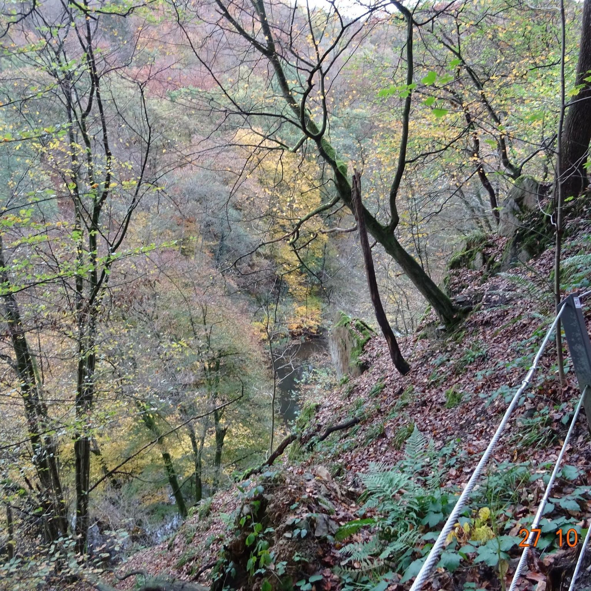
The climb to the viewpoint is not worth it. It's all overgrown. You can't see anything really. Maybe in spring and autumn, when the leaves are not yet on the trees. Then you might see something, but otherwise it's not worth it.
0
0

What a sad sight this stripped-out Bulli offers..
0
0

The Swan Pond in Bad Bertrich is a beautiful pond perfect for a leisurely stroll. A large parking lot (fees apply) and a lovely park are located nearby.
2
0
The spa town of Bad Bertrich lies on the banks of the Üßbach stream. Within the town, the stream cascades down in a series of steps, resembling a waterfall.
2
0

From 13:00 o'clock many people are out and about when the sun ☀️ shines
0
0
This is the Maare-Mosel cycle path and not the Vennbahn.
0
0

The Ulmen Maar lies 420 meters above sea level today, covers an area of 5.5 hectares, and is 36 meters deep. The bubbles at the maar's edge demonstrate that volcanism is still active. They bear witness to a turbulent past—but rest assured, there's no eruption in sight! A wall of various rocks and ash, up to 20 meters thick, surrounds the cone. For those interested, these testimonies to this explosive past are beautifully displayed in St. Matthias Church. This unique wall, with its different colored layers and rounded inclusions, is worth seeing for more than just geologists. The slopes of the maar basin are covered with a beautiful forest, which can be explored on a circular walk. A detour to the medieval castle ruins, from which the Crusaders once launched their campaigns, is recommended. The view from the crater rim over the maar and the Eifel beyond will take your breath away. Whether after a sweaty hike or a long drive, the blue of the Ulmer Eifel lake is all too tempting in summer. However, bathing in the maar is prohibited because it is designated as a nature and water protection area.
6
0

Frequently Asked Questions
How many road cycling routes are available around Schmitt?
There are over 170 road cycling routes available around Schmitt, offering a wide variety of options for different skill levels and preferences. The komoot community has explored these routes extensively, with more than 2,500 road cyclists using komoot to discover the area's diverse terrain.
What kind of landscape can I expect when road cycling near Schmitt?
Road cycling around Schmitt offers a diverse and picturesque landscape. You'll encounter rolling hills, dense forests, and scenic valleys characteristic of the Southern Eifel region. The area is also influenced by the Vulkaneifel, providing unique geological formations and numerous panoramic views over a volcanic landscape. Additionally, its proximity to the Moselle River means you can access routes along its winding course and through charming vineyards.
What are the typical difficulty levels for road cycling routes in the Schmitt area?
The road cycling routes around Schmitt cater to a wide range of abilities. You'll find approximately 7 easy routes, 93 moderate routes, and 70 difficult routes. This variety ensures that both beginners and experienced cyclists can find suitable challenges, from leisurely rides through valleys to more demanding climbs with significant elevation gains.
Are there any family-friendly road cycling routes near Schmitt?
While road cycling routes in the Eifel region often feature rolling hills and elevation changes, some of the easier routes might be suitable for families with older children or those accustomed to cycling. For example, routes with less elevation gain or those along flatter sections of the Moselle Valley could be considered. Always check the route's difficulty and elevation profile before setting out with family.
What are some notable natural features or viewpoints I can discover while cycling around Schmitt?
The region around Schmitt is rich in natural beauty and offers several viewpoints. You can expect panoramic views over the Vulkaneifel, characterized by its volcanic landscapes. Some routes may also offer glimpses of maars (volcanic lakes) or lead through the scenic Ueßbach Valley. For specific points of interest, consider routes that pass by features like the Elf Grotto and Elbesbach Waterfall or the Bergkrone Mine Tunnel.
Are there any circular road cycling routes available near Schmitt?
Yes, many of the road cycling routes around Schmitt are designed as circular loops, allowing you to start and end your ride in the same location. Examples include the View of Jungferweiher – Bergkrone Mine Tunnel loop from Alflen and the Through the Ueßbach Valley – Kasper from the Town Hall Statue loop from Alflen. These loops offer varied scenery and a convenient way to explore the region.
What do other road cyclists enjoy the most about road cycling in Schmitt?
The road cycling routes around Schmitt are highly rated by the komoot community, with an average score of 4.5 stars from over 190 reviews. Cyclists frequently praise the diverse terrain, which includes rolling hills, forests, and volcanic landscapes, as well as the panoramic views. The variety of routes, catering to different ability levels, is also a significant draw.
Can I find routes that include views of historical sites or unique structures?
Absolutely. The region's history and geology offer interesting sights. For instance, the View of the Manderscheid Castles – Weinfelder Maar loop from Wollmerath provides views of historical castles. You might also encounter old mine tunnels like the Bergkrone Mine Tunnel or other historical sites such as the Göbelsmühle and the historic mills of the Wild Endert Valley.
What is the average length and duration of road cycling routes in the Schmitt area?
The routes vary significantly in length and duration. For example, a moderate route like the View of Jungferweiher – Bergkrone Mine Tunnel loop from Alflen is about 37.8 km (23.5 miles) and takes around 1 hour 48 minutes. Longer, more difficult routes, such as the View of the Manderscheid Castles – Weinfelder Maar loop from Wollmerath, can be up to 65.7 km (40.8 miles) and take over 3 hours 30 minutes to complete.
Are there any routes that pass by maars (volcanic lakes) or other unique geological formations?
Yes, the Vulkaneifel region is known for its maars. A route like the Ulmener Maar – Maiden Pond loop from Auderath specifically highlights these unique volcanic lakes. You can also find routes that offer views of the Weinfelder Maar, showcasing the distinctive geological heritage of the area.
What are some options for moderate road cycling routes near Schmitt?
The majority of road cycling routes around Schmitt are classified as moderate, offering a good balance of challenge and enjoyment. Popular moderate options include the View of Jungferweiher – Bergkrone Mine Tunnel loop from Alflen, which is 37.8 km long, and the Through the Ueßbach Valley – Kasper from the Town Hall Statue loop from Alflen, covering 39.8 km.
Are there any challenging road cycling routes for experienced riders?
Experienced riders looking for a challenge will find several difficult routes around Schmitt. These routes often feature significant elevation gains and longer distances. An example is the View of the Manderscheid Castles – Weinfelder Maar loop from Wollmerath, which spans 65.7 km with over 1100 meters of elevation gain, providing a substantial workout through the Eifel landscape.
Most popular attractions around Schmitt

Get inspired with the komoot mobile app


Explore more
Browse the best Road cycling routes in other regions.
