The best mountain hikes around Resia
4.7
(42)
503
hikers
22
hikes
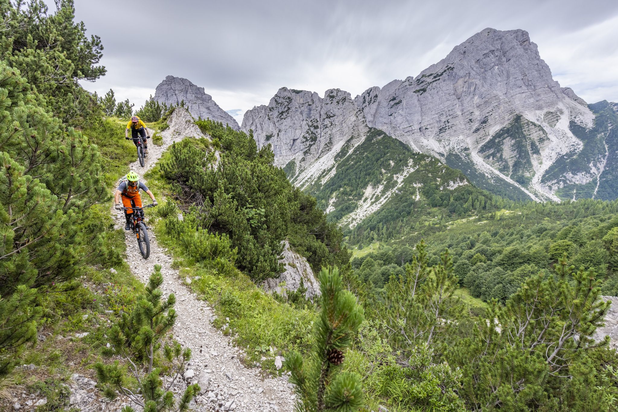
Mountaineering routes around Resia are set within a diverse alpine landscape, characterized by glaciated peaks, expansive valleys, and the iconic Lake Resia. This region, situated at the crossroads of Italy, Austria, and Switzerland, offers varied terrain from challenging limestone boulders to serene alpine pastures. The area features significant elevation changes, with numerous trails leading through mountainous environments suitable for experienced mountaineers.
Best mountaineering routes around Resia
- The most popular mountaineering route is Gilberti Hut – Cave on the Via Ferrata…
Last updated: July 6, 2026
24
hikers
14.4km
07:23
1,340m
1,340m
Hard mountaineering route. Very good fitness required. Sure-footedness, sturdy shoes and alpine experience required.
17
hikers
11.1km
05:12
990m
990m
Hard mountaineering route. Very good fitness required. Mostly accessible paths. Sure-footedness required.

Sign up for free
4.0
(1)
11
hikers
3.52km
02:19
380m
380m
Hard mountaineering route. Good fitness required. Sure-footedness, sturdy shoes and alpine experience required.
11
hikers
6.99km
03:15
700m
700m
Moderate mountaineering route. Good fitness required. Mostly accessible paths. Sure-footedness required.
4.5
(2)
8
hikers
Hard mountaineering route. Good fitness required. Sure-footedness, sturdy shoes and alpine experience required.
Get access to more routes and recommendations from other explorers.
Sign up for free
Already have an account?
Our route recommendations are based on thousands of hikes, rides, and runs completed by other people on komoot.
Start today with a free account
Your next adventure awaits.
Login or Signup
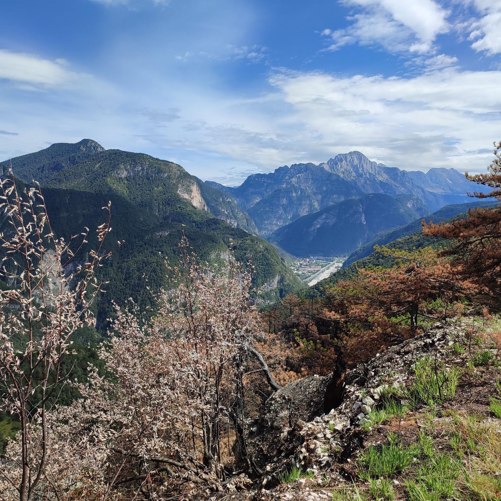
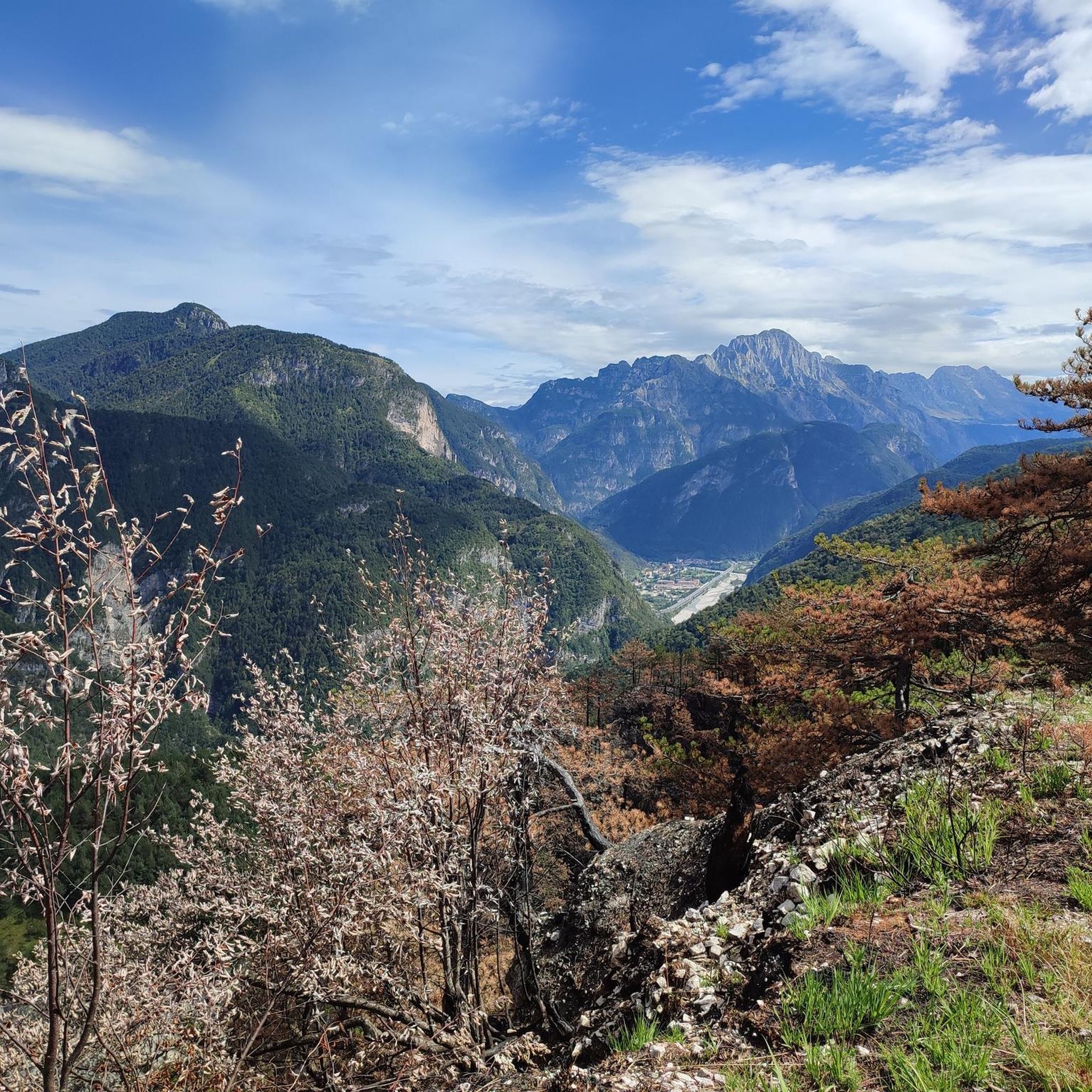
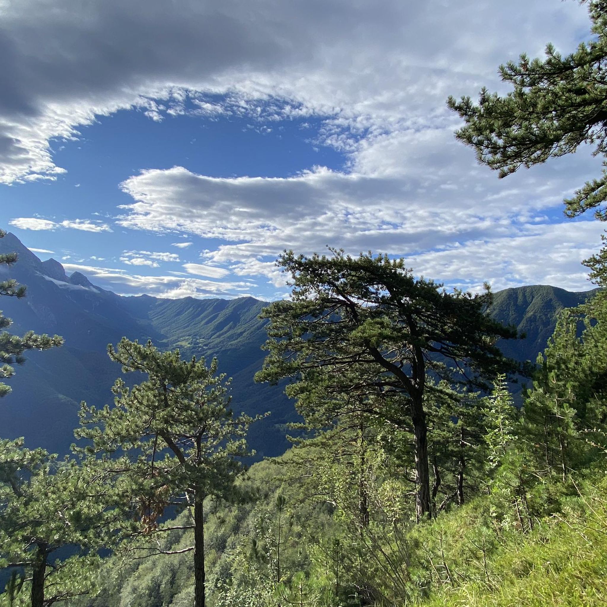


Tips from the Community


Instead of the arduous climb up the chimney, you can take a ride on the cable car. But be careful ⚠️: it's old and rickety - you have to really want to do it.
0
0

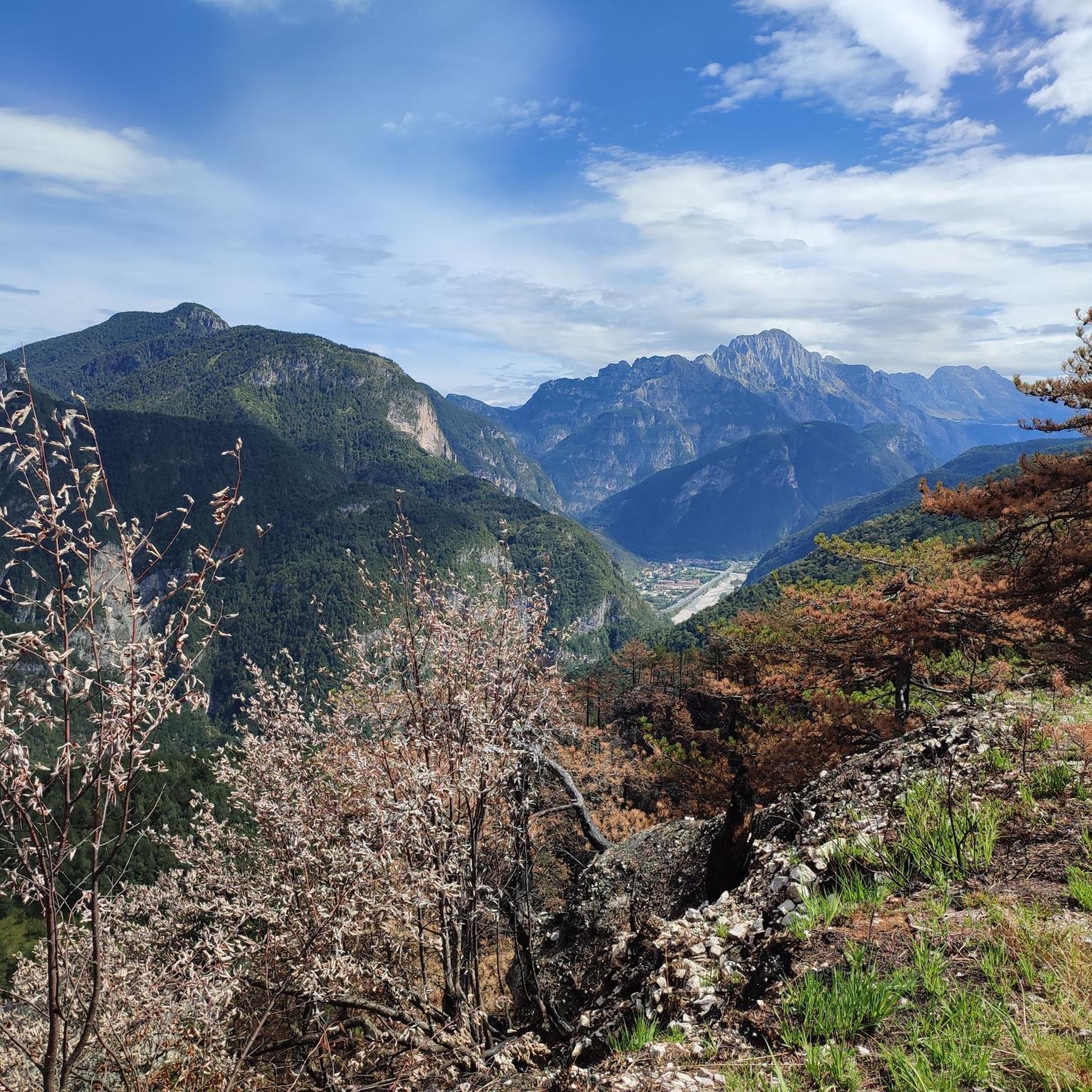
perfect place in the middle of Friuli alps
0
1

Torre del Forato is really majestic and beautiful https://geometrydash-free.io
1
1

The way to this place should only be undertaken by stable weather conditions and no rain for the previous two days. This hike features a lot of sections with serious danger of falling several 100m deep. The hike is very steep and contains a lot of sections with loose rocks, slippery ground or direct soil contact. At the later part ropes provide some extra security. The steel ropes are very rusty but work well, the ropes that are not made from steel should not be trusted. There is very few information about this hike out there. The altitude layout is wrong in Komoot. It's not going up and then staying level. It is going up, and then going down until reaching the source. This hike should really only be done by experienced and well equipped hikers on a sunny day with stable weather. Otherwise the hike is really worth it, the view is amazing and seeing the Boka source in action is so cool.
3
0

Sella Prevala is located in the Canin group, between Mount Forato and Mount Golovec, at 2067 meters above sea level. Various itineraries start from here, some paths are equipped with via ferratas or ledges and require experience and adequate equipment, for example the climb to Mount Forato and the ridge towards the summit of Canin.
0
0

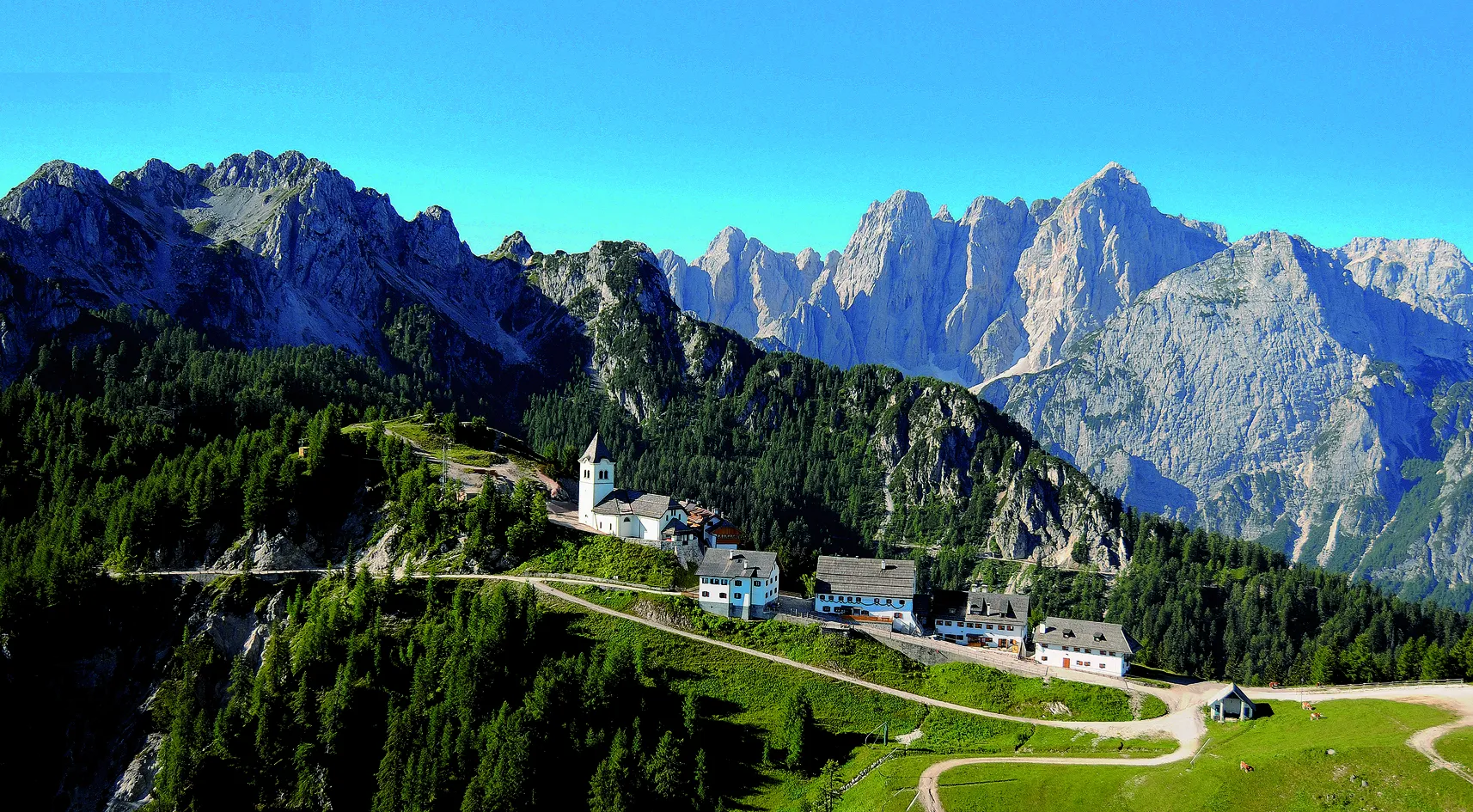
An alpine refuge in the Julian Alps that will leave you breathless for the beauty of the environment in which it is located, a real marvel.
2
0

Coffee in many varieties, all kinds of drinks and beer on tap are available there and via ferrata sets can be borrowed
0
0
Frequently Asked Questions
What kind of mountaineering routes can I expect in Resia?
Resia offers a diverse range of mountaineering routes, from challenging climbs on limestone boulders to more moderate ascents through alpine pastures. The region is characterized by significant elevation changes and glaciated peaks, providing varied terrain suitable for different experience levels. Most of the 29 routes available are considered difficult, with a few moderate options.
Are there any family-friendly mountaineering options in Resia?
While many mountaineering routes in Resia are challenging, the region also offers accessible natural features suitable for families. For instance, a beautiful forest trail leads to the source of the Adige River at 1,550 meters, which is an accessible hiking destination for all ages. For a moderate mountaineering experience, consider the Gilberti Hut loop from Sella Nevea / Nevee, which is about 7 km long and takes around 3 hours 15 minutes.
Can I bring my dog on the mountaineering trails in Resia?
Resia's natural landscapes, including its extensive network of trails and alpine pastures, are generally welcoming for dogs. However, it's always recommended to check specific trail regulations or protected area rules before heading out. Ensure your dog is well-behaved, kept on a leash where necessary, and that you carry out any waste to preserve the pristine environment.
What are some notable natural attractions to see along the mountaineering routes in Resia?
The Resia region is rich in natural beauty. You can encounter several impressive waterfalls, such as Virje Waterfall, Cadramazzo Stream Waterfall, and the renowned Boka Waterfall. There are also serene lakes like Lake Plužensko and the Plužna Reservoir, which offer picturesque views. For a unique perspective, visit the Viewpoint at Boka Waterfall.
Are there any circular mountaineering routes available in Resia?
Yes, Resia offers several circular mountaineering routes that allow you to start and end at the same point. A popular challenging option is the Gilberti Hut – Cave on the Via Ferrata Route loop from Sella Nevea / Nevee, which spans 14.4 km. Another difficult circular route is the Monte Ruscie – Monte Musi Cima Ovest loop from Tanatcason, covering 7.8 km.
What is the best season for mountaineering in Resia?
The best season for challenging climbs in Resia is generally from mid-autumn to mid-spring, when conditions are often ideal for technical mountaineering. During summer, you can still enjoy moderate climbs and explore the river areas. The region's diverse terrain means that opportunities for outdoor activities, including hiking and mountaineering, are available throughout much of the year, with winter offering unique experiences like snowkiting on frozen lakes.
How long do mountaineering routes around Resia typically take?
The duration of mountaineering routes in Resia varies significantly based on difficulty and length. For example, the challenging Gilberti Hut – Cave on the Via Ferrata Route loop from Sella Nevea / Nevee can take around 7 hours 24 minutes to complete. A shorter, but still difficult, option like the Cave on the Via Ferrata Route – Panoramic View at Kamin loop from Dom Petra Skalarja might take about 1 hour 9 minutes. Moderate routes, such as the Gilberti Hut loop from Sella Nevea / Nevee, typically take around 3 hours 15 minutes.
What do other mountaineers enjoy most about the routes in Resia?
The mountaineering routes in Resia are highly rated by the komoot community, with an average score of 4.7 stars from over 50 reviews. Mountaineers often praise the region's diverse alpine landscapes, which include glaciated peaks, expansive valleys, and the iconic Lake Resia. The variety of terrain, from challenging technical climbs to serene alpine pastures, is also a frequently highlighted aspect.
Are there any huts or shelters along the mountaineering routes in Resia?
Yes, there are shelters and huts available in the Resia region that can serve as resting points or overnight stays during your mountaineering adventures. For instance, the Casera Nischiuarch Shelter is one such option. These facilities provide a welcome break and often offer food and accommodation, enhancing the mountaineering experience.
Are there opportunities for beginner mountaineers in Resia?
While many routes in Resia are rated as difficult, the region does offer options for those new to mountaineering. The Val Resia area, in particular, is noted for climbing on high-quality limestone boulders, some of which are suitable for beginners due to their technical nature. It's advisable for beginners to start with moderate trails, such as the Gilberti Hut loop from Sella Nevea / Nevee, and consider guided tours for more challenging terrain.
What are the parking options like for mountaineering routes in Resia?
Parking availability can vary depending on the specific trailhead. Many popular starting points for mountaineering routes, especially those near ski resorts like Sella Nevea, typically have designated parking areas. For routes starting from smaller villages or more remote locations, parking might be more limited. It's always recommended to research specific trailhead parking in advance of your trip.
Can I access mountaineering trails in Resia using public transport?
Access to mountaineering trails via public transport in Resia can be challenging, especially for more remote trailheads. While some villages and towns in the broader Val Venosta valley are served by buses, direct public transport links to specific mountain trail starting points might be limited. Planning your route and checking local bus schedules or considering a combination of public transport and a short taxi ride is advisable.
Most popular attractions around Resia

Get inspired with the komoot mobile app


Explore more
Browse the best Mountain Hikes & Routes in other regions.
