The best MTB trails around Schöllkrippener Forst
4.6
(3764)
10,152
riders
458
rides
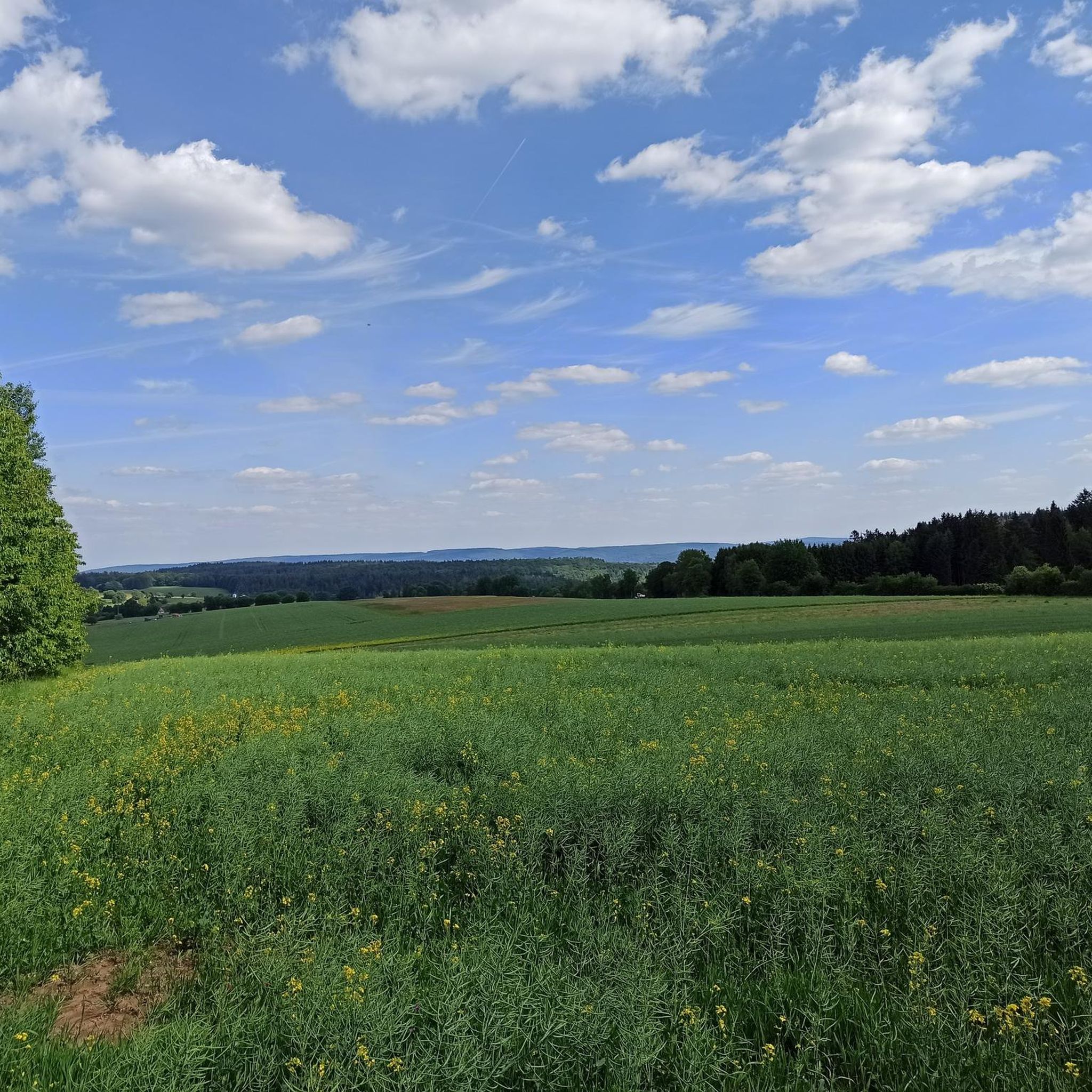
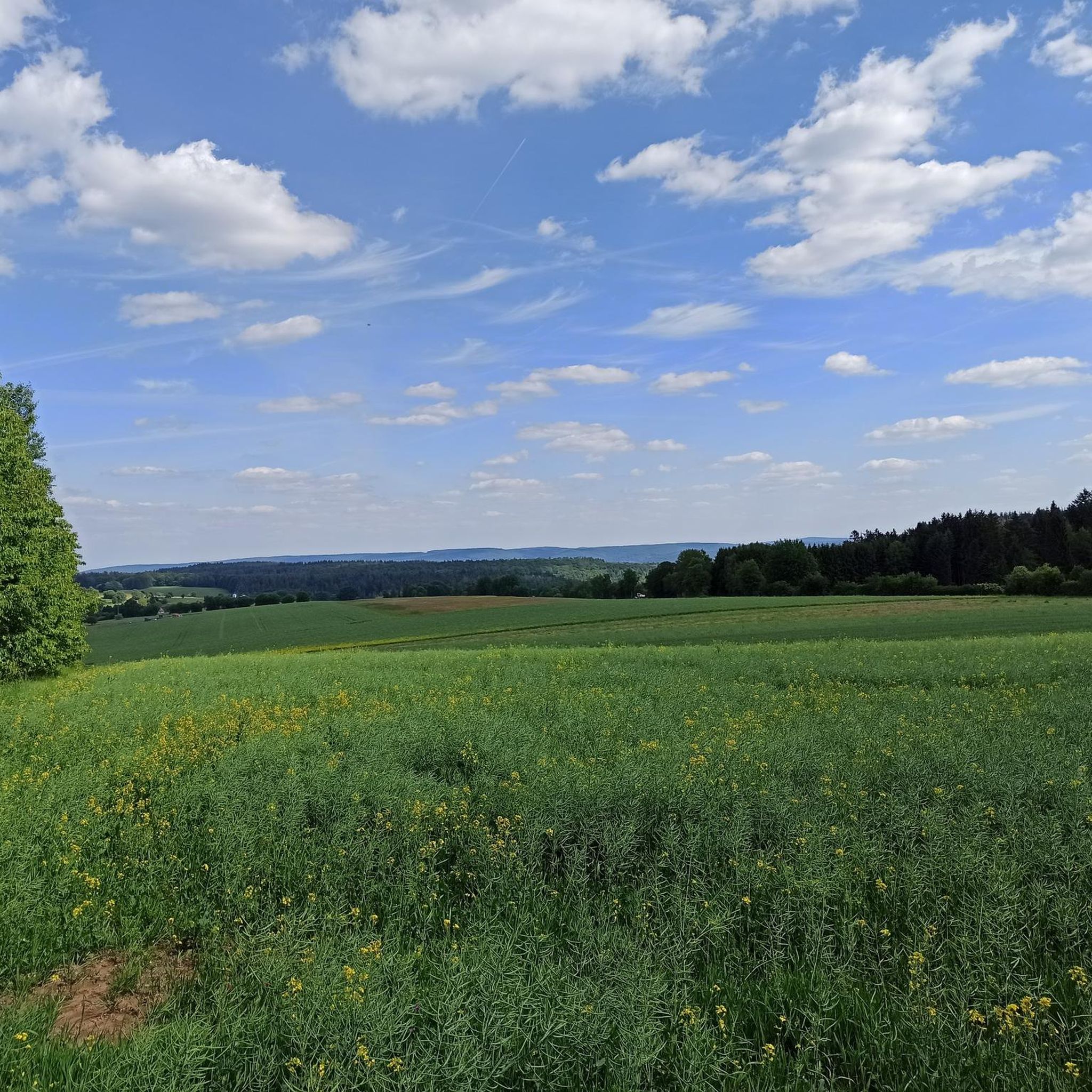
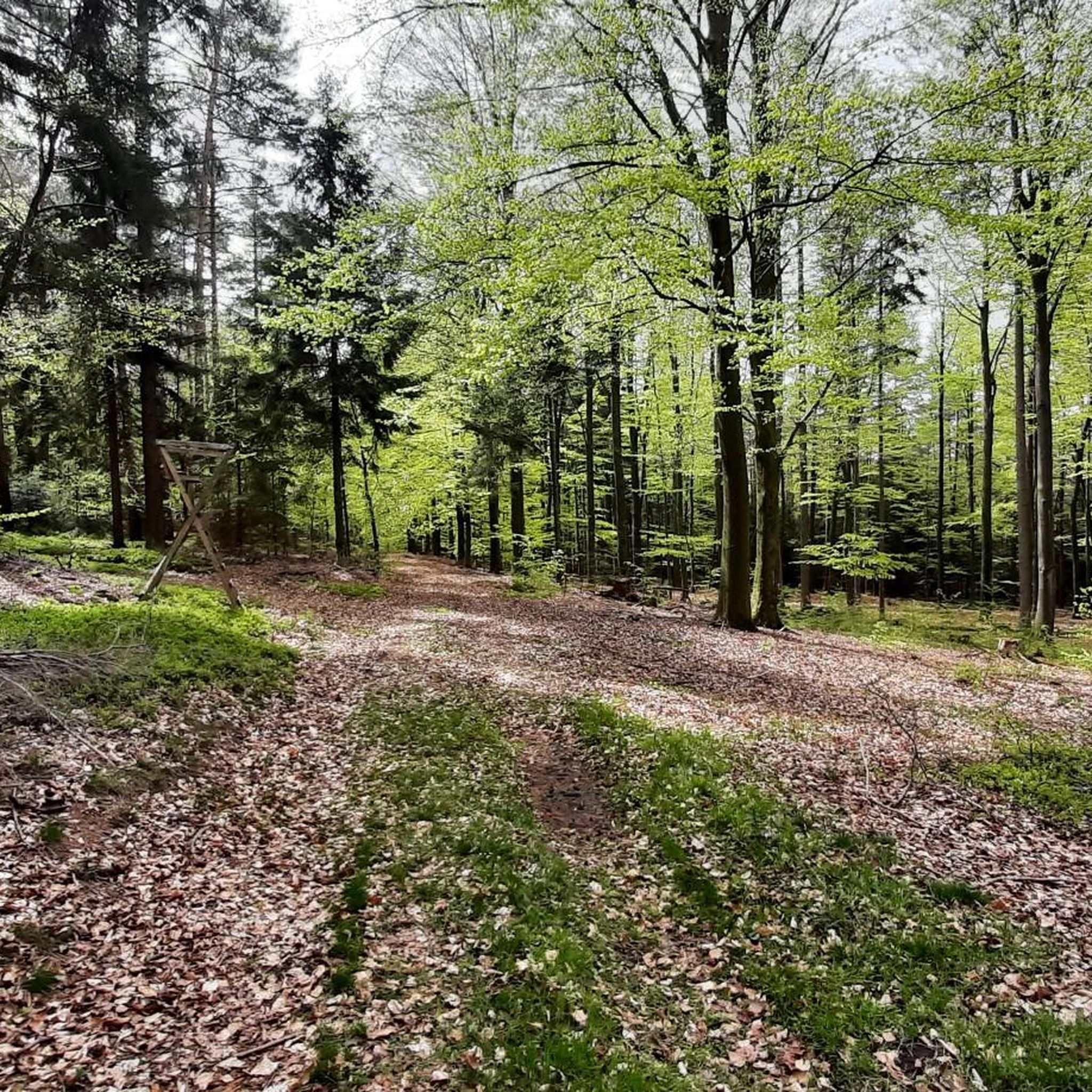
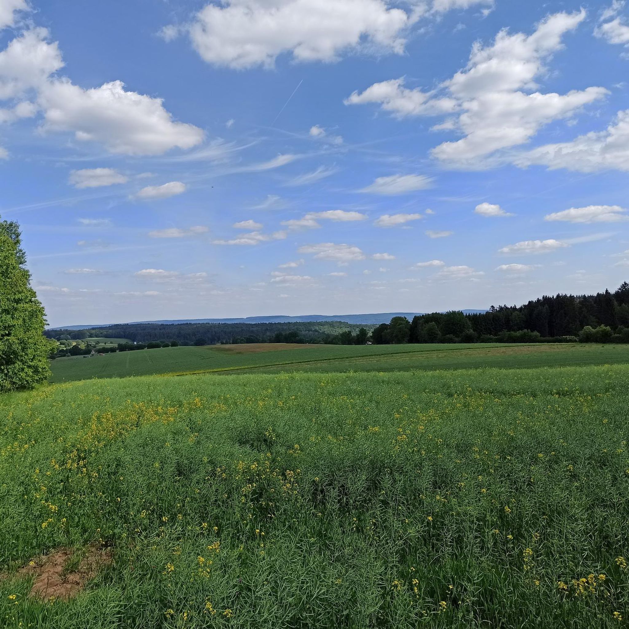
Mountain biking around Schöllkrippener Forst features an extensive network of trails within its 18.08 km² forested area in the northern Bavarian Spessart. The region is characterized by dense, wooded landscapes and varied elevations, including the Spindelberg at 520 meters and the Reuschberg at 415 meters. Natural springs and impressive rock formations, such as a "Felsenmeer" near the Reuschberg summit, add to the diverse terrain. This predominantly forested environment offers a mix of idyllic forest paths and technically demanding sections suitable…
Last updated: October 4, 2026
4.8
(32)
118
riders
42.7km
03:43
850m
850m
Moderate mountain bike ride. Good fitness required. Advanced riding skills necessary.
5.0
(27)
161
riders
Moderate mountain bike ride. Good fitness required. Advanced riding skills necessary.

4.8
(15)
57
riders
Moderate mountain bike ride. Good fitness required. Advanced riding skills necessary.
4.6
(38)
50
riders
29.5km
02:12
320m
320m
Moderate mountain bike ride. Good fitness required. Advanced riding skills necessary.
4.8
(48)
76
riders
31.0km
02:01
360m
370m
Moderate mountain bike ride. Good fitness required. Suitable for all skill levels.
Get access to more routes and recommendations from other explorers.
Already have an account?
Our route recommendations are based on thousands of hikes, rides, and runs completed by other people on komoot.
Start today with a free account
Your next adventure awaits.
Tips from the Community

Beautiful path to the Keilrain.
0
0

A great viewpoint with a view all the way to the Taunus - Frankfurt. On the other sides are the Odenwald and Spessart.
0
0

The view from the observation deck of the Rodfeldturm is magnificent. The panorama ranges from the Taunus across the Wetterau to the Vogelsberg.
2
0
With a bit of luck, you might also see deer in the meadow.
2
0
The Aubach is a small stream/river that meanders gently through the idyllic Aubach valley in its upper reaches. After more than 20 km, the Aubach flows into the Lohr,
2
0
It is a classic arched viaduct, as were usually built on the "Ludwigs-Westbahn" at that time.
2
0

Beautiful, natural section of the Marienweg.
2
0
You have a beautiful view from the Rothfeld Tower.
0
0
Frequently Asked Questions
How many mountain bike trails are available in Schöllkrippener Forst?
There are over 460 mountain bike routes in Schöllkrippener Forst, catering to various skill levels. This includes approximately 78 easy, 342 moderate, and 40 difficult trails.
What is the best time of year for mountain biking in Schöllkrippener Forst?
The best seasons for mountain biking in Schöllkrippener Forst are spring and autumn. During these times, temperatures are mild, and the terrain is typically in optimal condition for riding.
Are there any easy mountain bike trails suitable for beginners or families?
Yes, Schöllkrippener Forst offers around 78 easy mountain bike trails. While specific family-friendly routes are not detailed, the region's diverse network includes paths suitable for less experienced riders. The Kahl Cycle Path, though not strictly mountain biking, offers an easy and family-friendly option along the Kahl river.
What kind of terrain can I expect on mountain bike trails in Schöllkrippener Forst?
You can expect a diverse range of terrain, from idyllic forest paths to technically demanding sections. The region is characterized by dense, wooded landscapes, varied elevations including the Spindelberg (520m) and Reuschberg (415m), natural springs, and impressive rock formations like a small 'Felsenmeer' near the Reuschberg summit.
Are there any challenging mountain bike routes for advanced riders?
Yes, for advanced riders seeking a challenge, there are approximately 40 difficult mountain bike trails in Schöllkrippener Forst. These routes often incorporate more technically demanding sections within the mountainous terrain.
Are there any circular mountain bike routes in the area?
Many routes in Schöllkrippener Forst are designed as loops. For example, you could try the Wiesbüttsee – Aubach Lakes loop from Jakobsthal, a moderate 42.2 km trail, or the View of the Kahlgrund – Dr. Karl Kihn-Platz Rest Area loop from Schöllkrippen, which is 33.8 km long.
What are some notable viewpoints or attractions along the mountain bike trails?
The region offers several scenic spots. The Rodfeldturm observation tower provides expansive panoramic views, reaching as far as the Taunus mountains. You can also find the Dr. Karl Kihn-Platz Rest Area, a historical junction and spacious rest spot. Other natural features include the Kleinkahlquelle and renatured Kafloosquelle springs, and a small 'Felsenmeer' near the Reuschberg summit.
Are there any historical sites to explore while mountain biking?
Yes, the forest holds historical significance. You can find the ruins of the Epstein glassworks and the Burgstall Altenburg, a former medieval hilltop castle on the Reuschberg. The Dr. Karl Kihn-Platz Rest Area is also a historical traffic junction.
What do other mountain bikers enjoy most about the trails in Schöllkrippener Forst?
The trails in Schöllkrippener Forst are highly rated by the komoot community, with an average score of 4.6 stars from over 3000 reviews. Riders often praise the diverse landscapes, the mix of idyllic forest paths and technically demanding sections, and the extensive network of routes available.
Are there any specific trails known for flowing sections or unique features?
Yes, the Eselsweg is a highlight, known for its flowing S1 sections and cool trail passages. It's incorporated into longer loops, such as the Forest Inn "Zum Engländer" – Eselsweg Trail loop from Sailaufer Forst, a moderate 25.2 km path.
Are there places to eat or rest near the mountain bike routes?
Yes, there are several options for rest and refreshment. The Forest Inn "Zum Engländer" is a popular spot. You can also find the Dr. Karl Kihn-Platz Rest Area, which is a spacious and attractive open ground for taking a break. The Fischereihütte Inn Beer Garden is another option.
What is the highest point accessible by mountain bike in the region?
The highest point in the Schöllkrippener Forst area is the Spindelberg, reaching 520 meters above sea level. The mountainous terrain contributes to challenging and scenic routes for mountain bikers.
Most popular routes around Schöllkrippener Forst
Most popular attractions around Schöllkrippener Forst

Get inspired with the komoot mobile app


Explore more
Browse the best MTB trails in other regions.
