The best walks and hikes around Schönteichen
4.7
(4959)
18,028
hikers
92
hikes
Hiking around Schönteichen features a network of trails amidst diverse natural landscapes. The region is characterized by its pond areas, such as the Teichgebiet Biehla-Weißig, and notable hills like the Keulenberg-Gipfel. These features provide varied terrain for outdoor activities, ranging from gentle walks to more challenging excursions. The area offers a mix of accessible paths and routes with moderate elevation changes.
Best hiking trails around Schönteichen
- The most popular hiking route is Biehla-Weißig Pond Area – Boathouse on the Great…
Last updated: June 26, 2026
4.8
(73)
224
hikers
Moderate hike. Good fitness required. Easily-accessible paths. Suitable for all skill levels.
4.9
(7)
27
hikers
9.76km
02:41
160m
160m
Moderate hike. Good fitness required. Easily-accessible paths. Suitable for all skill levels.

Sign up for free
4.9
(24)
65
hikers
Easy hike. Great for any fitness level. Easily-accessible paths. Suitable for all skill levels.
5.0
(2)
19
hikers
8.56km
02:25
180m
180m
Moderate hike. Good fitness required. Easily-accessible paths. Suitable for all skill levels.
4.9
(9)
16
hikers
15.5km
03:57
50m
50m
Moderate hike. Good fitness required. Easily-accessible paths. Suitable for all skill levels.
Get access to more routes and recommendations from other explorers.
Sign up for free
Already have an account?
Our route recommendations are based on thousands of hikes, rides, and runs completed by other people on komoot.
Start today with a free account
Your next adventure awaits.
Login or Signup
Popular around Schönteichen
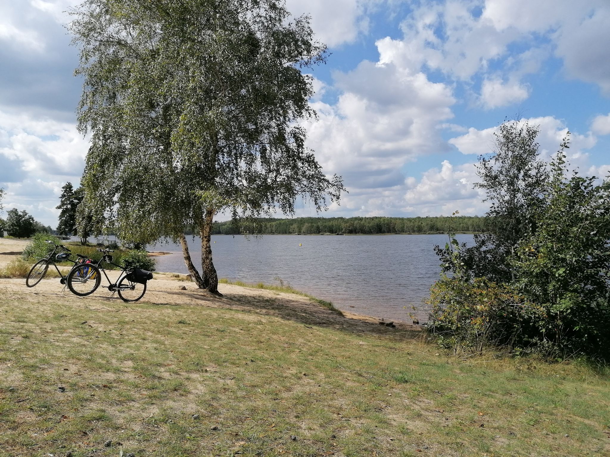
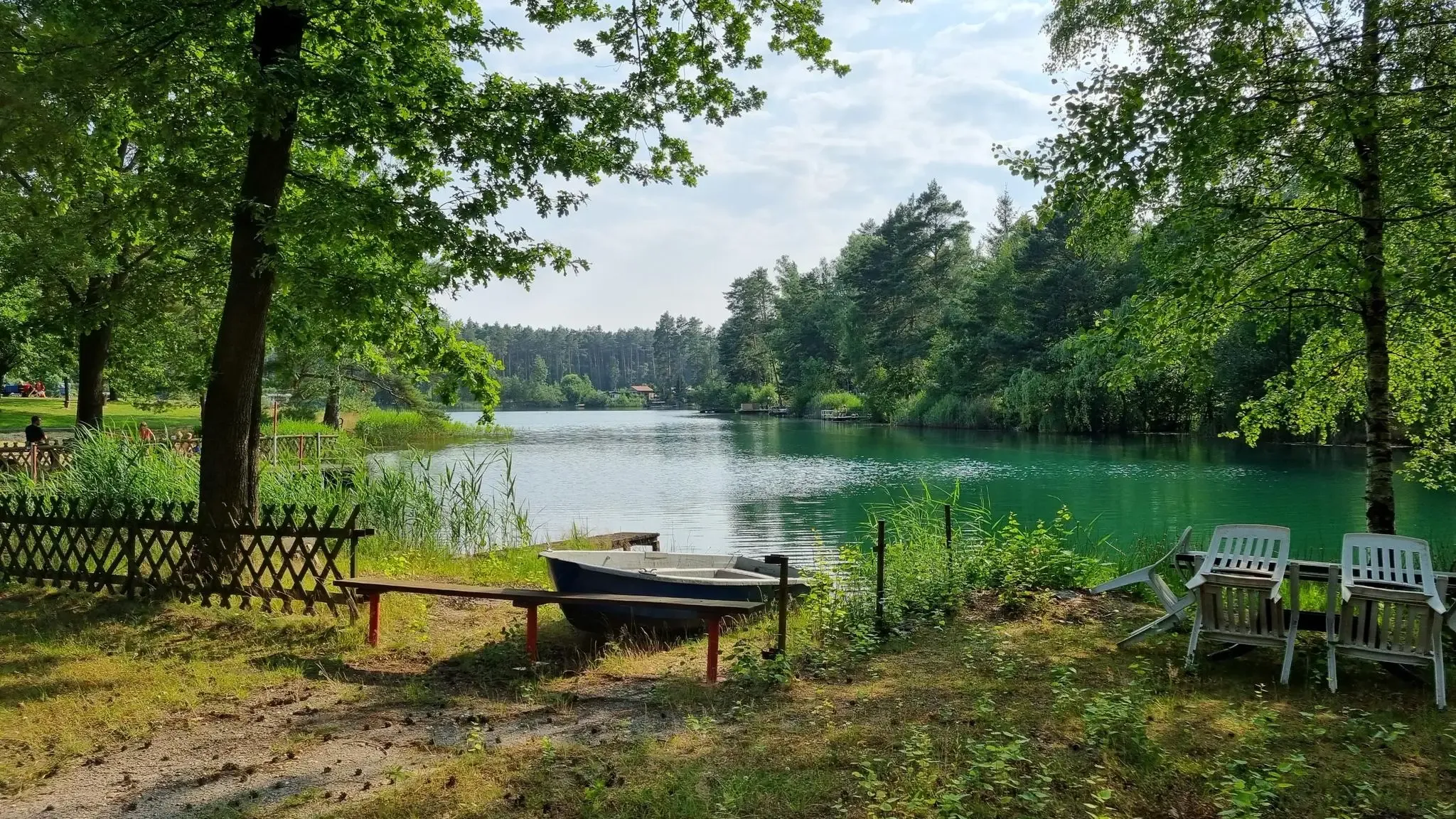
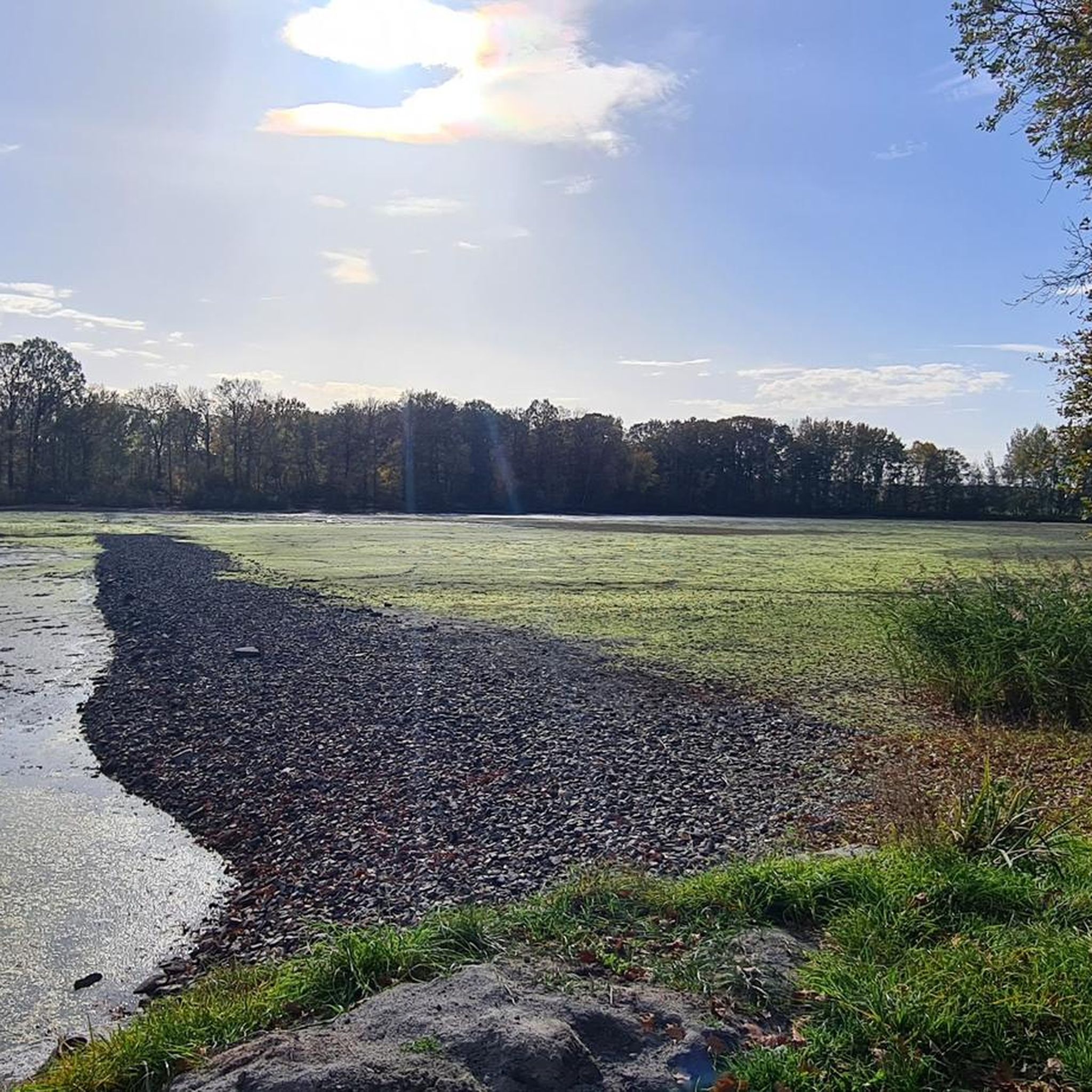


Tips from the Community

Well-maintained small hut with good seating for good and bad weather and very nice panoramic views 👍
0
0

To the west of the city, the Hutberg rises about 100 meters above the old town, 294 meters above sea level. The name of the mountain is not derived from the hat, but from the herding of sheep. It was intended to protect the trade route, the so-called "Via Regia," which runs across Europe from Ukraine to Spain. Source: https://kamenz-entdecken.de/entdecken/natur/hutberg#denkmale
0
0

A very nice hill but the view is simply great
0
0

That's exactly how it is 🧀🫖🌭😎⛰️🥰🌞
0
0
Nice view to take a break
0
0

On the way from Cunnersdorf to the pond area, there is this small but lovely rest area next to three oak trees standing close together. Bench with table - what more could you want?
0
0


Frequently Asked Questions
What types of hiking trails can I find in Schönteichen?
Schönteichen offers a diverse network of trails, ranging from easy, family-friendly paths to more challenging excursions. You'll find routes suitable for all fitness levels, including moderate walks up to two hours with 300 meters of elevation, and more demanding routes that can extend up to five hours or involve over 900 meters in elevation, requiring good fitness and sturdy footwear. In total, there are over 90 hiking routes available.
Are there any easy, family-friendly hikes in Schönteichen?
Yes, Schönteichen has numerous easy trails suitable for families. For example, the Wolfsteich – View of Wolfsteich loop from Cunnersdorf is an easy 4.6 km path offering views of Wolfsteich. The Keulenberg summit also features a playground, making it a suitable attraction for families to visit.
Where can I find circular hiking routes in Schönteichen?
Many trails in Schönteichen are circular, allowing you to start and end at the same point. A popular moderate circular route is the Biehla-Weißig Pond Area – Boathouse on the Great Pond, Biehla loop, which explores the natural surroundings of the pond area. Another easy option is the Boathouse on the Great Pond, Biehla – Biehla-Weißig Pond Area loop.
What are the notable landmarks or viewpoints along the hiking trails?
Schönteichen is home to several significant viewpoints and landmarks. You can visit the Keulenberg Summit, which features an observation tower and monuments, or ascend the Schwedenstein Observation Tower for excellent views. The Lessing Tower (Hutberg Tower) in Kamenz is another prominent viewpoint.
Are there any hikes that feature water bodies or pond areas?
Yes, the region is characterized by its beautiful pond areas. The Biehla-Weißig Pond Area loop is a great way to discover these natural surroundings. You can also find the Friendship Lake (See der Freundschaft), which has a beaver trail, offering scenic walks by the water.
What do other hikers say about the trails in Schönteichen?
The hiking routes in Schönteichen are highly regarded by the komoot community, with an average score of 4.8 stars from over 270 reviews. Hikers often praise the diverse scenery, well-maintained paths, and the variety of options available for different skill levels.
What is the best time of year to go hiking in Schönteichen?
Schönteichen offers enjoyable hiking experiences throughout the year. While the region is beautiful in spring and summer with lush greenery, autumn brings vibrant colors, and winter can offer serene, snow-covered landscapes. The choice depends on your preference for weather and trail conditions.
Are there any trails that offer views from higher elevations?
Absolutely. The region features notable hills like the Keulenberg-Gipfel and Walberg Summit. The Walberg Summit (356 m) – Wüsteberg (351.7 m) loop offers moderate elevation changes and rewarding views. The observation towers at Keulenberg and Schwedenstein also provide panoramic vistas.
Can I find trails that are suitable for a longer, more challenging hike?
While many trails are easy to moderate, Schönteichen does offer more demanding routes. Some excursions can extend up to five hours or involve over 900 meters in elevation, requiring very good fitness and sure-footedness. These routes often lead to higher points and offer a more strenuous experience.
Are there any specific trails that lead through forests or natural reserves?
The trails in Schönteichen often wind through diverse natural landscapes, including forested areas and the Teichgebiet Biehla-Weißig pond area. Routes like the Hutberg, Kamenz – View of Lückersdorf loop take you through varied terrain, including wooded sections, allowing you to immerse yourself in nature.
Is there a specific trail that is popular for its scenic beauty?
The Biehla-Weißig Pond Area loop is highly regarded for its scenic beauty, offering picturesque views of the pond landscape and surrounding nature. It's a great choice for those looking for a visually rewarding hike.
Most popular routes around Schönteichen
Most popular attractions around Schönteichen

Get inspired with the komoot mobile app


Explore more
Browse the best Hikes in other regions.
