The best walks and hikes around Dugenta
4.2
(106)
461
hikers
44
hikes
Hiking around Dugenta offers diverse landscapes, characterized by a vast plain situated between the Caudina and Telesina valleys, on the left bank of the River Volturno. The region is enriched by the presence of the River St. George and the Isclero, contributing to fertile soil and varied ecosystems. Trails often traverse areas near hills like Mount Tifata and natural features such as Lake Telese, providing a mix of accessible paths and varied environments.
Best hiking trails around Dugenta
- The most…
Last updated: October 4, 2026
4.3
(9)
16
hikers
8.82km
02:36
260m
260m
Moderate hike. Good fitness required. Easily-accessible paths. Suitable for all skill levels.
4.5
(12)
44
hikers
5.21km
01:40
220m
220m
Easy hike. Great for any fitness level. Easily-accessible paths. Suitable for all skill levels.

4.3
(3)
10
hikers
7.98km
02:30
310m
310m
Moderate hike. Good fitness required. Easily-accessible paths. Suitable for all skill levels.
3.3
(7)
6
hikers
9.62km
03:01
360m
360m
Moderate hike. Good fitness required. Easily-accessible paths. Suitable for all skill levels.
4.7
(6)
24
hikers
4.38km
01:19
150m
150m
Easy hike. Great for any fitness level. Easily-accessible paths. Suitable for all skill levels.
Get access to more routes and recommendations from other explorers.
Already have an account?
Our route recommendations are based on thousands of hikes, rides, and runs completed by other people on komoot.
Start today with a free account
Your next adventure awaits.

Tips from the Community

Casertavecchia is a medieval village, a fraction of Caserta, located at the foot of the Tifatini mountains. It was founded by the Lombards and later became a bishopric, for this reason it has a rich historical and artistic heritage, including the Norman castle and the Romanesque cathedral dedicated to San Michele Arcangelo.
1
0

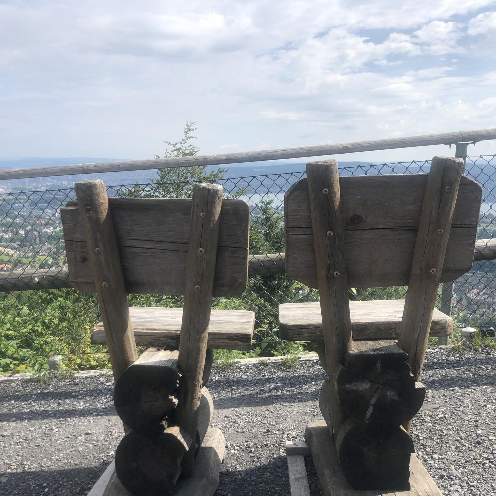
beautiful path ... beautiful viewpoint ..
0
0

Casertavecchia is a medieval village, which certainly already existed in 861 AD. (named Casa Hirta). It passed from the Lombards to the Normans in 1062, and then to the Aragonese.
2
0
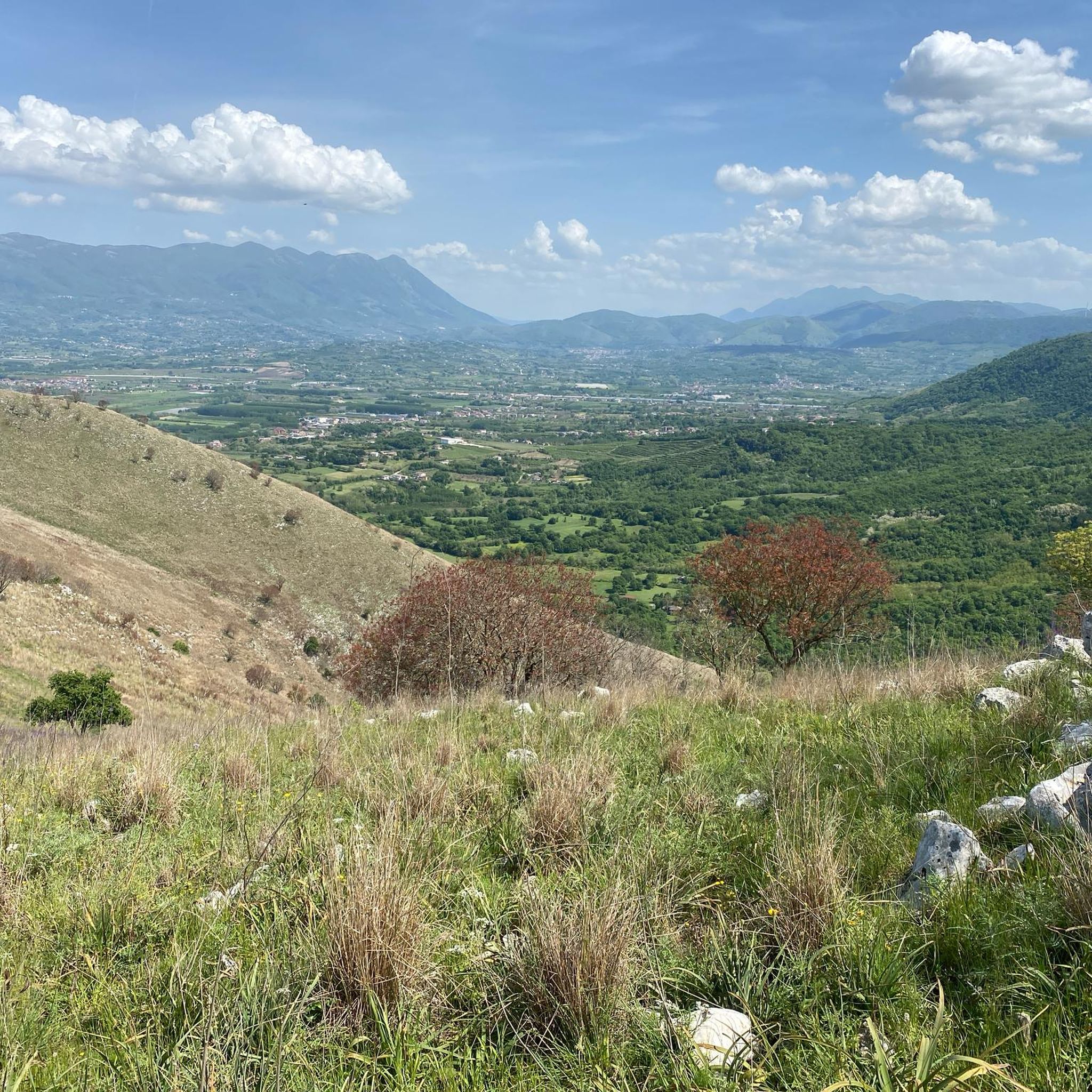
Here we can enjoy a fantastic panorama of the mountains near and far, including Monte Zecchinoso and Monte Traverso.
1
0
The Tower of Casertavecchia is part of the village which was under Lombard dominion. The particular position, thanks to the protection of the mountains, has made Casertavecchia a refuge for the populations during the incursion of the Saracens.
2
0

The castle of Casertavecchia is the main fortified place and military defense of the homonymous village of Caserta, the only one to have survived in legible forms in part and or completely having disappeared the city walls mentioned in the historical sources.
0
0
Casertavecchia (fraction of Caserta) is a medieval village that rises on the slopes of the Tifatini mountains at about 401 meters high and 10 km away in the north-east direction from Caserta. The origins of Casertavecchia are still uncertain, but according to some information extrapolated from a writing by the Benedictine monk Erchemperto, already in the year 861 AD. there was an urban nucleus called "Casahirta" (from the Latin casa meaning village and hirta meaning harsh). The village has undergone various dominations over the course of history.
1
0
Frequently Asked Questions
How many hiking trails are available around Dugenta?
Dugenta and its surrounding area offer a diverse network of nearly 40 hiking routes. These range from easy strolls to more challenging treks, catering to various fitness levels and preferences.
What kind of terrain can I expect on hikes near Dugenta?
The hiking terrain around Dugenta is quite varied. You'll find paths traversing fertile plains along the Volturno River, gentle hills like Mount Tifata, and routes that explore the diverse landscapes between the Caudina and Telesina valleys. Some trails also lead through more mountainous areas within regional parks.
Are there any easy or family-friendly hiking options in Dugenta?
Yes, there are several easy routes suitable for families. Out of nearly 40 trails, 13 are classified as easy. A great option for a leisurely walk is the path around Lake Telese, which features a beautiful one-kilometer perimeter path. Another easy route offering panoramic views is the Casertavecchia Tower – View of the Plain Below loop from Torrino 62.
What are some notable natural attractions or landmarks to see while hiking near Dugenta?
Hikers can discover several interesting natural and historical features. You can visit Lake Telese, explore the Taburno Camposauro Regional Park, or even encounter the impressive Diana and Actaeon Fountain and Waterfall. The region also features unique geological formations like craters near Mount Fioralito and the historical Carolino Aqueduct.
Are there any circular hiking routes around Dugenta?
Yes, many routes in the area are circular, allowing you to start and end in the same location. For example, the Casertavecchia – ring tour is a popular moderate circular trail. Another option is the M. Zecchinoso S/E loop from Limatola, which takes you through varied terrain.
What is the best time of year to go hiking in Dugenta?
The best time for hiking in Dugenta and the wider Campania region is typically during the spring (April to June) and autumn (September to October). During these seasons, the weather is generally mild and pleasant, with comfortable temperatures for outdoor activities. Summers can be quite hot, while winters are cooler and can be rainy.
Are there any regional parks near Dugenta that offer additional hiking opportunities?
Absolutely. Dugenta is situated within the province of Benevento, which is home to significant regional parks. The Taburno Camposauro Regional Park offers various trails, including easy loops. Further afield, the Matese Regional Park provides even more extensive hiking, with trails around Monte Mutria and to the Grotta delle Fate (Fairy Cave), as well as the Vallantica Waterfall.
What do other hikers say about the trails in Dugenta?
The routes in Dugenta are highly rated by the komoot community, with an average score of 4.3 stars from over 60 reviews. Hikers often praise the diverse landscapes, from river valleys to hills, and the variety of options available for different ability levels.
Can I find trails that include historical sites or cultural points of interest?
Yes, the area around Dugenta is rich in history. You can explore routes that pass through or near historical settlements like Casertavecchia Medieval Village or Sant'Agata dei Goti. The impressive 18th-century Carolino Aqueduct, a significant engineering work, is also accessible via a challenging hiking loop.
Are there any trails with good viewpoints for scenic photography?
Many trails in the Dugenta area offer excellent panoramic views. The Casertavecchia Tower – View of the Plain Below loop from Torrino 62 is specifically highlighted for its scenic vistas of the plain. The Vaccheria Panoramic Trail, running along Mount San Leucio, is also known for its picturesque views.
What kind of wildlife can I expect to see while hiking in Dugenta?
The diverse ecosystems around Dugenta support various wildlife. The Volturno River area, with its reeds, willows, and poplars, serves as a stopover for migratory birds and a habitat for wading birds and raptors, making it ideal for birdwatching. In the wider Matese Regional Park, you might encounter high faunal biodiversity, including various bird species and even wolves.
Most popular attractions around Dugenta

Get inspired with the komoot mobile app


Explore more
Browse the best Hikes in other regions.
