The best running trails around Cautano
4.3
(3)
417
runners
22
runs
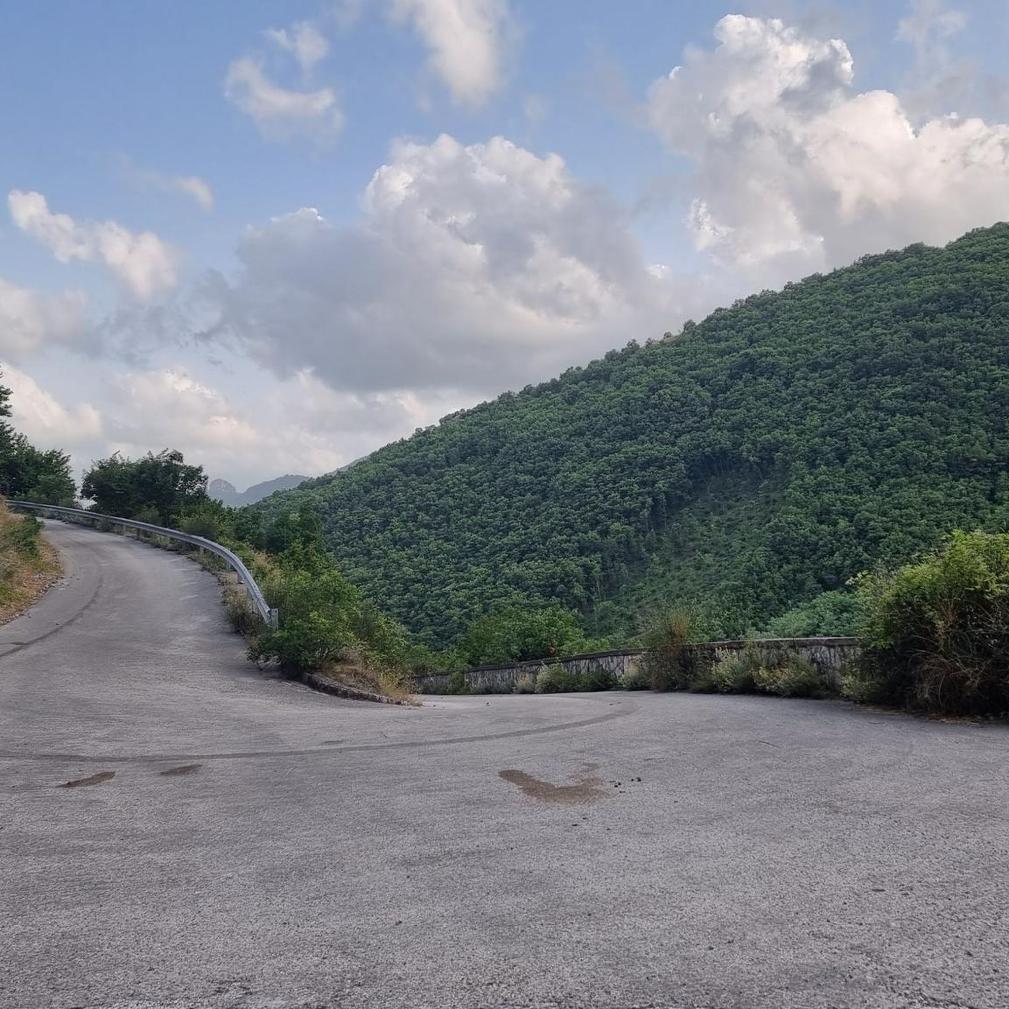
Jogging routes around Cautano offer diverse experiences within the Taburno-Camposauro Regional Park. The region is characterized by the slopes of Mount Taburno-Camposauro, providing varied terrain from gentle inclines to challenging ascents. Joggers can explore routes through vineyards, olive groves, and along the Jenga and Jerino streams, which contribute to the lush landscape. Forested areas within the park offer shaded paths and a sense of immersion in nature.
Best jogging routes around Cautano
- The most popular jogging route is Monte Pentime…
Last updated: July 4, 2026
1
runners
10.6km
01:39
620m
630m
This difficult 6.6-mile jogging loop in Parco Regionale del Taburno - Camposauro offers panoramic views from Monte Pentime and Pizzo del Tes
1
runners
6.18km
00:51
190m
190m
Moderate run. Good fitness required. Mostly paved surfaces. Suitable for all skill levels.

Sign up for free
155
runners
18.4km
01:55
90m
90m
Hard run. Very good fitness required. Mostly paved surfaces. Suitable for all skill levels.
4.0
(1)
127
runners
10.8km
01:07
40m
40m
Moderate run. Good fitness required. Mostly paved surfaces. Suitable for all skill levels.
5.0
(1)
28
runners
8.75km
00:54
20m
20m
Moderate run. Good fitness required. Mostly paved surfaces. Suitable for all skill levels.
Get access to more routes and recommendations from other explorers.
Sign up for free
Already have an account?
Our route recommendations are based on thousands of hikes, rides, and runs completed by other people on komoot.
Start today with a free account
Your next adventure awaits.
Login or Signup
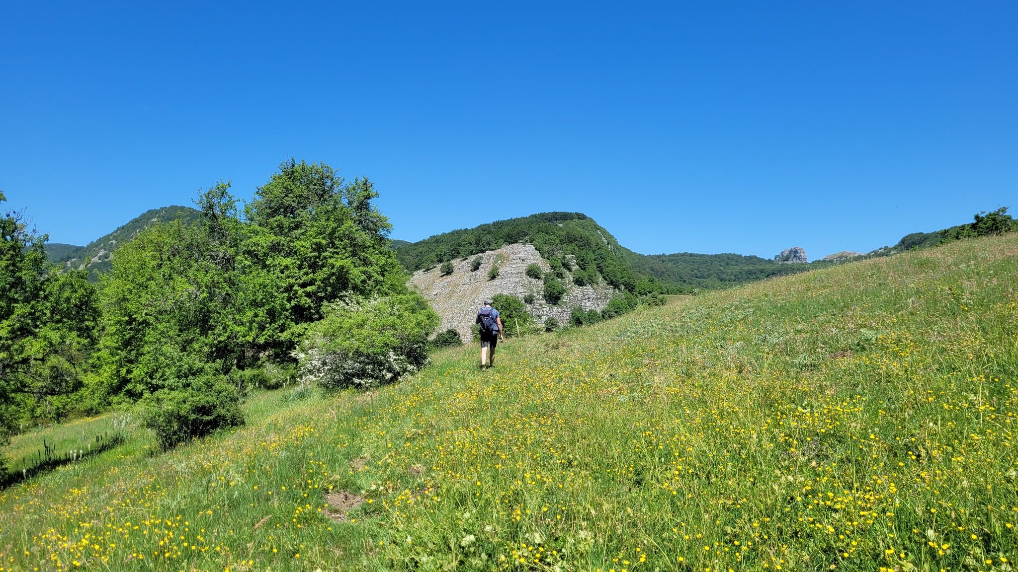
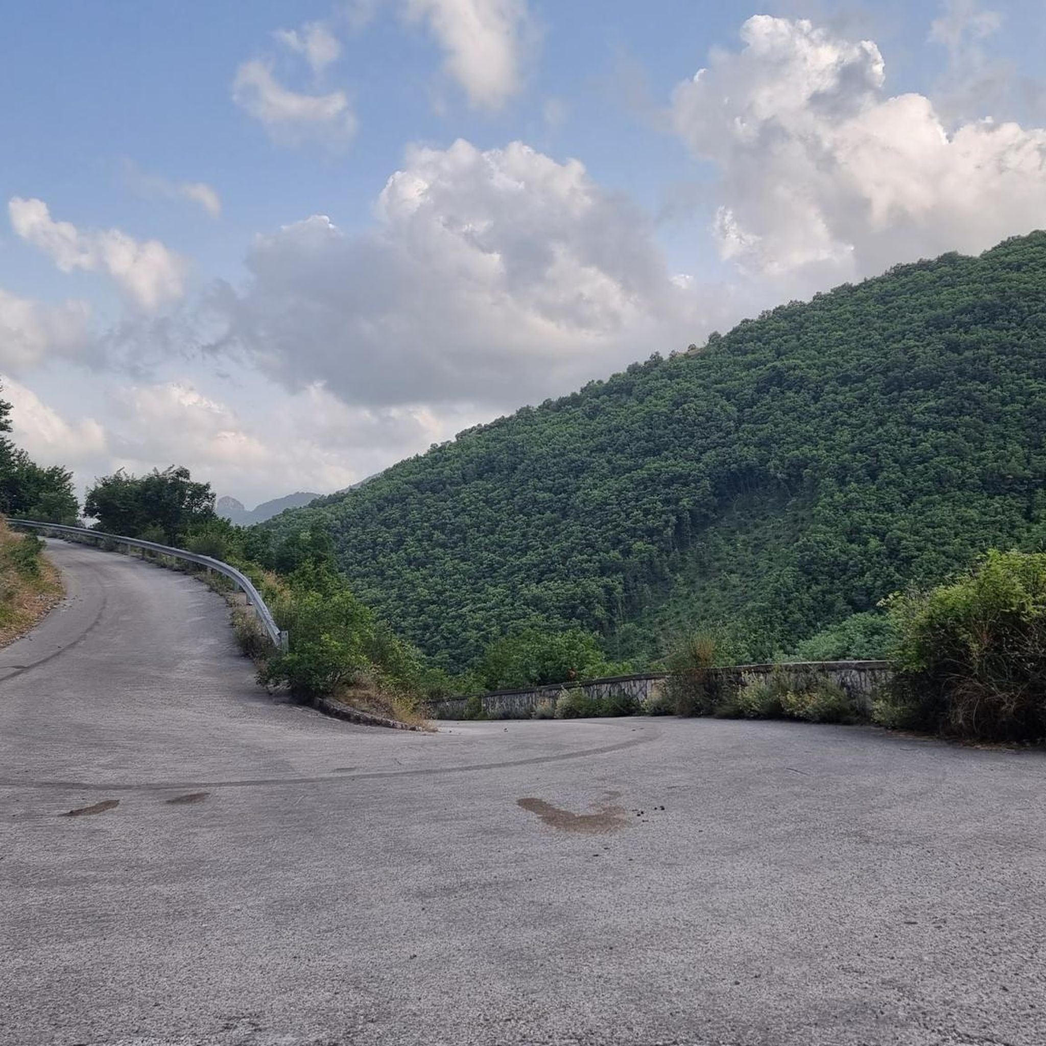
Other adventures around Cautano

Tips from the Community

Lake Telese is of natural origin and is located in the heart of the Telesina Valley. It is possible to walk around the perimeter of the basin thanks to a beautiful path of about one kilometre. Bathing is not permitted for safety reasons.
2
0

Circular lake of karst origin, bathing is not permitted given the depth of its waters.
1
0

Pizzo dei Favi is located within the Taburno Regional Park, at a height of 1187 metres. The closest refuge is the Vitulano refuge. From here it is possible to enjoy a 360 degree panoramic view, and you can see Monte Miletto, Monte Rosa, Monte Altorotondi and many other peaks around.
1
0
The hermitage of San Menna (7th century) is located opposite the Ducal Castle. What we know about the hermitage comes from St. Gregory the Great, a hermit who followed a life of meditation and penance.
1
0
Mount Pentime offers a breathtaking view. It is located at 1168 meters high. There is a metal cross. Very impressive especially at dawn.
2
0
Pizzo del Tesoro is about 1176 meters high, and is located on the ridge that leads to Monte Pentime.
3
0
Here there are various parking lots and the Altaquota bar. We are at 1150 meters high. From here you can already see Monte Alto Rotondi.
1
0
Following a ridge you reach Pizzo alto, which is 1187 meters high. There is also a small altar here. From here you can also see Monte Alto Rotondi clearly.
1
0
Frequently Asked Questions
How many running routes are available around Cautano?
Cautano offers a selection of 14 diverse running routes. These range from easy paths to more challenging trails, catering to various fitness levels.
What kind of terrain can I expect on jogging routes in Cautano?
Jogging routes around Cautano feature varied terrain, from gentle inclines through vineyards and olive groves to more challenging ascents on the slopes of Mount Taburno-Camposauro. You'll find paths along the Jenga and Jerino streams, as well as shaded trails within the forested areas of the Taburno-Camposauro Regional Park.
When is the best time of year to go jogging in Cautano?
The milder temperatures of spring and autumn are ideal for exploring Cautano's natural landscapes. During these seasons, meadows like Campo Cepino, Campo Trellica, and Piano Melaino are vibrant with wildflowers, offering particularly scenic routes. While summer can be warm, shaded forest paths provide relief, and winter offers a different, often quieter, experience.
Are there routes suitable for beginners or those looking for an easy run?
Yes, Cautano has routes suitable for beginners. For example, the area offers 1 easy route, and several moderate options with less elevation gain. The Laghetto dei Tre Colori – Lago di Telese loop from Telese Terme is a moderate 6.7-mile (10.7 km) trail that is relatively flat, making it a good choice for a leisurely jog.
Are there challenging running routes for experienced joggers?
Absolutely. For experienced runners seeking a challenge, Cautano offers 3 difficult routes. The Monte Pentime and Pizzo del Tesoro Loop is a demanding 6.6-mile (10.6 km) trail with significant elevation gain, providing a strenuous workout and rewarding views from the summit.
What natural features or landmarks can I see while running in Cautano?
Many routes offer stunning natural features and landmarks. You can explore the diverse landscapes of the Taburno Camposauro Regional Park, encounter the Lake Telese, or even reach the Monte Pentime Summit Cross for breathtaking views. The San Simeone Cave also adds an element of historical exploration to longer routes.
Are there any historical or cultural trails for jogging in the area?
Yes, Cautano boasts several thematic trails that combine physical activity with cultural immersion. These include the "Via dei Mulini" (Path of the Mills), "Via del Borgo" (Village Path), "Via del Grano" (Grain Path), "Via dei Briganti" (Brigands' Path), and "Via del Vino" (Wine Path), offering a unique jogging experience through local history and traditions.
What do other runners enjoy most about jogging in Cautano?
The running routes in Cautano are highly rated by the komoot community, with an average score of 4.5 stars from 2 reviews. Runners often praise the region's varied terrain, which includes mountain slopes, agricultural landscapes, and stream-side paths, offering diverse experiences for all fitness levels.
Are the running routes in Cautano suitable for families?
Yes, Cautano offers family-friendly options. While some routes are challenging, there are also easier paths through vineyards, olive groves, and around Lake Telese that are suitable for families looking for a more relaxed jog or walk together. Always check the route difficulty and length to ensure it matches your family's capabilities.
Can I bring my dog on the jogging trails around Cautano?
Many trails in natural areas, including parts of the Taburno-Camposauro Regional Park, are generally dog-friendly. However, it's always recommended to keep your dog on a leash, especially in protected areas or near wildlife, and to carry waste bags. Check local signage for specific rules on individual trails.
Where can I park when accessing jogging routes in Cautano?
Parking availability varies by trailhead. For routes within the Taburno-Camposauro Regional Park or near specific attractions like Lake Telese, designated parking areas are often available. It's advisable to check the starting point details of your chosen route on komoot for specific parking information.
Is public transport available to reach trailheads in Cautano?
Public transport options to reach specific trailheads directly in Cautano can be limited, as the area is more rural. However, local bus services might connect Cautano to nearby towns like Telese Terme, from where some routes, such as the Laghetto dei Tre Colori – Lago di Telese loop, are accessible. Planning ahead is recommended.
Are there places to eat or stay near the running routes in Cautano?
Cautano and its surrounding areas offer various options for dining and accommodation. You'll find local trattorias, cafes, and agriturismos that provide traditional Campania cuisine and comfortable stays. These establishments are often located within or near the villages, making them convenient for runners exploring the region.
Most popular attractions around Cautano

Get inspired with the komoot mobile app


Explore more
Browse the best Running Trails & Routes in other regions.
