The best MTB trails around Vitulano
4.7
(121)
774
riders
75
rides
Mountain biking around Vitulano features a landscape dominated by the Taburno-Camposauro Regional Park, characterized by mountainous terrain and dense woodlands. The region offers a variety of trails that navigate through forested slopes and open plateaus. Elevation changes are common, providing both challenging climbs and rewarding descents. The area's geology includes limestone formations, contributing to varied trail surfaces.
Best mountain bike trails around Vitulano
- The most popular mountain bike trail is SICAI MTB Loop in Taburno-Camposauro Park, a 19.3 miles…
Last updated: June 24, 2026
5.0
(3)
23
riders
31.0km
03:36
1,370m
1,370m
Hard mountain bike ride. Very good fitness required. Suitable for all skill levels.
3
riders
33.4km
03:42
1,430m
1,430m
Hard mountain bike ride. Very good fitness required. Suitable for all skill levels.

Sign up for free
1
riders
Moderate mountain bike ride. Good fitness required. Suitable for all skill levels.
2
riders
21.3km
02:06
790m
800m
Moderate mountain bike ride. Good fitness required. Suitable for all skill levels.
26.6km
03:06
1,220m
1,220m
Hard mountain bike ride. Very good fitness required. Suitable for all skill levels.
Get access to more routes and recommendations from other explorers.
Sign up for free
Already have an account?
Our route recommendations are based on thousands of hikes, rides, and runs completed by other people on komoot.
Start today with a free account
Your next adventure awaits.
Login or Signup
Tips from the Community

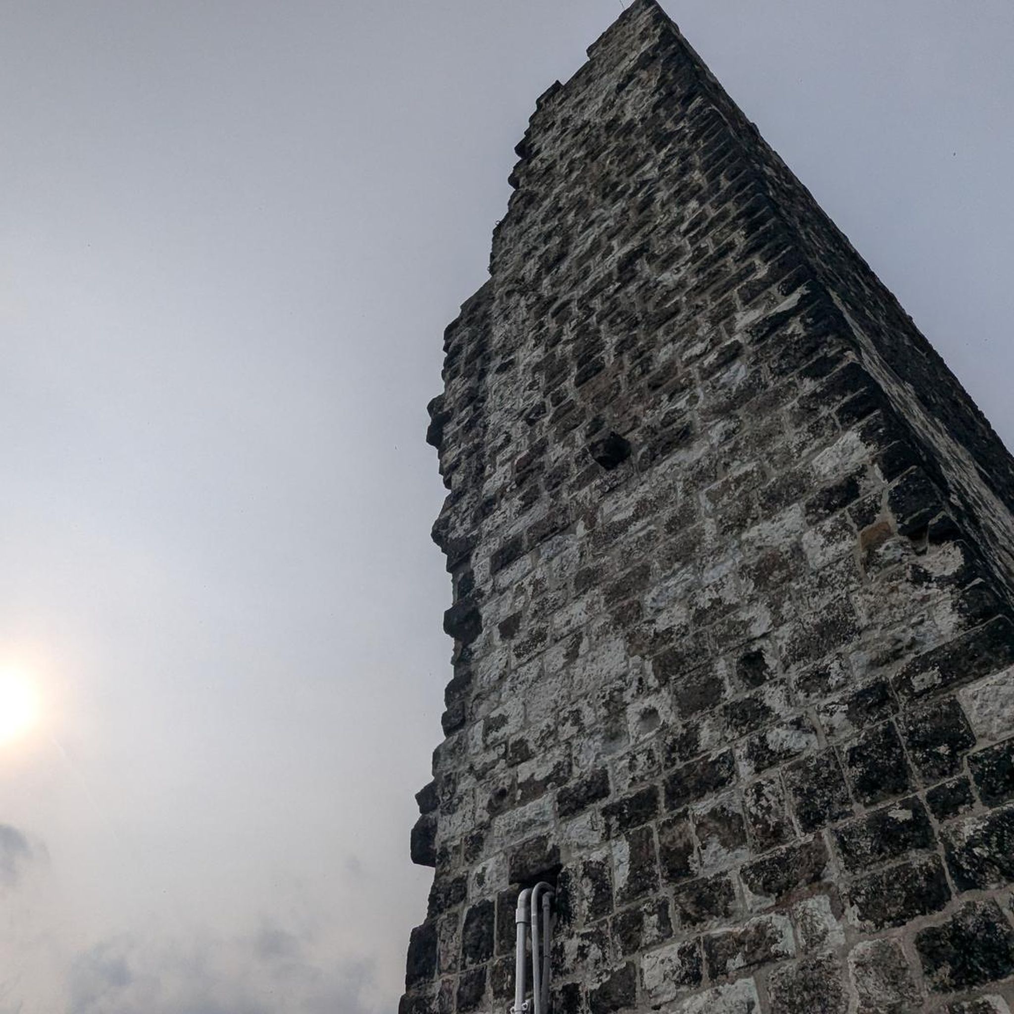
Hermitage set in the rock which is just over a thousand meters above sea level. An ancient place probably dating back to the Lombard era.
2
0
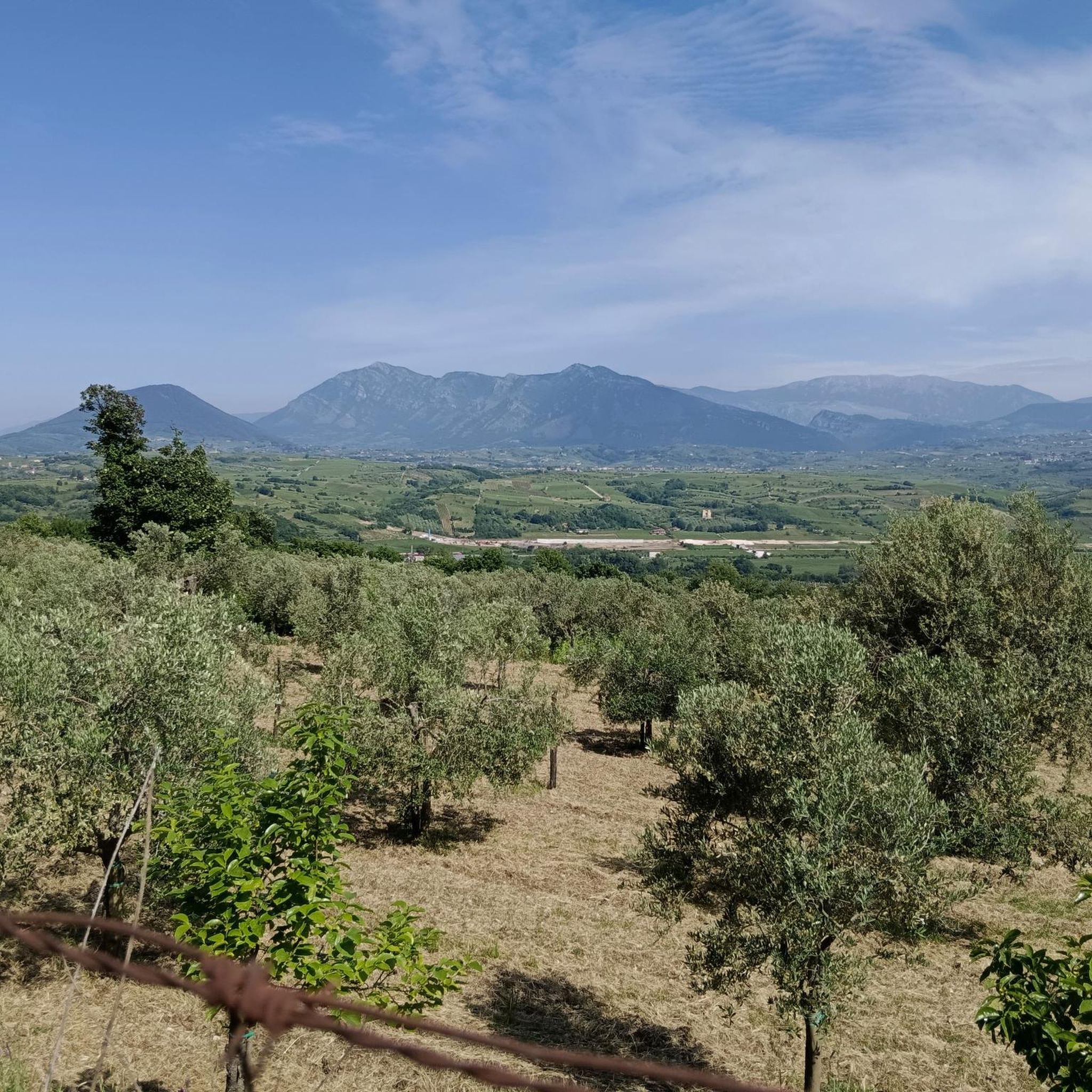
A regional park located on the Taburno Camposauro massif in the province of Benevento. A destination much appreciated by hikers and cyclists for the beauty of its beech woods and the views of the plain below.
1
0
Ancient sanctuary whose first structure probably dates back to the 12th century. It is located in the municipality of Solopaca, a short distance from the city centre, following Via Roseto.
1
0
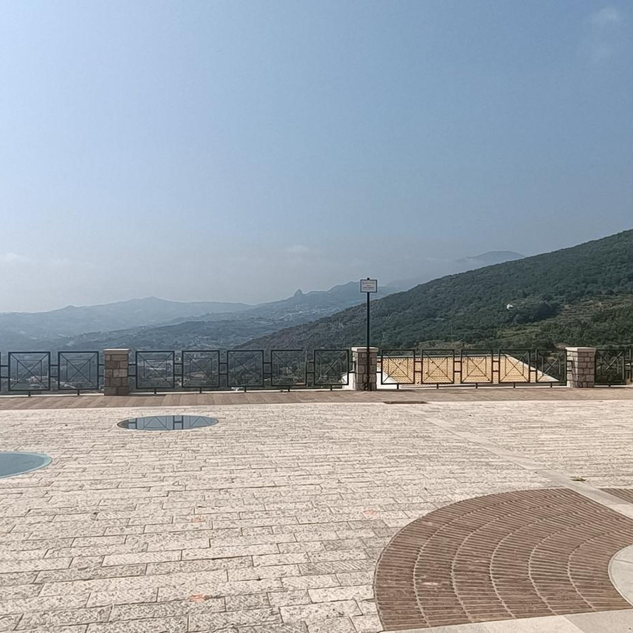
City at the gates of the Taburno Camposauro park. From here the paths lead to Monte Taburno and the regional park of the same name.
1
0

flow path with bank jumps and drops, cheerful pace
0
0

This regional park was established in 2002 and is located in the province of Benevento. It takes its name from the two highest peaks: the Taburno mountains (1,394 m) and Camposauro (1,388 m). Inside the protected area, vast open spaces alternate with thick woods, especially beech woods.
1
0
The hermitage is located within the Taburno-Camposauro Regional Park. To reach it, it is necessary to take path 720, immersed in a thick and wonderful forest. The structure is leaned against the majestic limestone rock walls. A beautiful discovery!
2
0
trail flow, compact terrain to be run at a cheerful pace
0
0
Frequently Asked Questions
How many mountain bike trails are there around Vitulano?
There are over 60 mountain bike trails available around Vitulano, offering a wide range of options for different skill levels and preferences.
Are there easy mountain bike trails suitable for beginners in Vitulano?
Yes, Vitulano offers one easy mountain bike trail. Additionally, there are 41 moderate trails that might be suitable for beginners with some experience or those looking for a slightly greater challenge. These trails often feature less extreme elevation changes compared to the difficult routes.
What is the best time of year for mountain biking in Vitulano?
The spring and autumn months generally offer the most pleasant conditions for mountain biking in Vitulano. The weather is typically milder, and the natural scenery of the Taburno-Camposauro Regional Park is particularly vibrant. Summers can be hot, while winters may bring colder temperatures and potentially snow at higher elevations, impacting trail accessibility.
Are there any circular mountain bike routes around Vitulano?
Yes, many of the trails around Vitulano are designed as loops. For example, the Il Pianoro di Camposauro – giro ad anello nel Parco Regionale del Taburno - Camposauro is a popular 13.2-mile circular route through the regional park, offering a great way to experience the area's diverse landscapes.
What kind of terrain can I expect on mountain bike trails in Vitulano?
Mountain biking in Vitulano primarily involves forested mountain slopes, open plateaus, and limestone formations within the Taburno-Camposauro Regional Park. You can expect varied trail surfaces and significant elevation changes, providing both challenging climbs and rewarding descents.
What do other mountain bikers enjoy most about the trails in Vitulano?
The mountain bike trails around Vitulano are highly rated by the komoot community, with an average score of 4.8 stars from over 90 reviews. Riders often praise the diverse terrain, the challenging climbs, and the scenic beauty of the Taburno-Camposauro Regional Park.
Are there any advanced or difficult mountain bike routes in Vitulano?
Yes, Vitulano offers 19 difficult mountain bike routes for experienced riders. Trails like the SICAI MTB Loop in Taburno-Camposauro Park (19.3 miles) and Taburno SICAI Ciclo Loop (20.8 miles) feature sustained ascents and descents with significant elevation gain, providing a demanding experience.
What are some scenic viewpoints or natural attractions along the mountain bike trails?
While riding, you might encounter several natural attractions. Notable spots include the Monte Pentime Summit Cross and Pizzo del Tesoro, which offer panoramic views. The Taburno Camposauro Regional Park itself is a major highlight, with its dense woodlands and varied landscapes.
Are there any historical or cultural landmarks near the mountain bike routes?
Yes, the region around Vitulano is rich in history. You can find significant landmarks such as the Arch of Trajan of Benevento, the Cathedral of Benevento, and the Church of Santa Sofia. These are typically located in nearby towns and can be visited as part of a longer trip.
How long do mountain bike trails typically take to complete in Vitulano?
Trail durations vary significantly based on distance, difficulty, and your personal pace. For example, a moderate 13.2-mile loop like Il Pianoro di Camposauro can take around 2 hours, while more difficult 20-mile routes such as SICAI MTB Loop might require over 3.5 hours.
Are there mountain bike trails that pass by lakes or water features?
Yes, some routes in the broader Vitulano area may bring you close to water features. For instance, Lake Telese is a notable natural attraction in the vicinity that can be incorporated into or viewed from certain rides.
What are some less crowded mountain bike trails in Vitulano?
While specific crowd levels can vary, exploring some of the 41 moderate trails or the less-trafficked sections within the Taburno-Camposauro Regional Park, especially during weekdays or off-peak seasons, can offer a more tranquil experience. Routes like Monte Cardito Loop from Frasso Telesino might offer a quieter alternative to the most popular loops.
Most popular attractions around Vitulano

Get inspired with the komoot mobile app


Explore more
Browse the best MTB trails in other regions.
