The best walks and hikes around Schürdt
4.6
(4560)
15,416
hikers
818
hikes
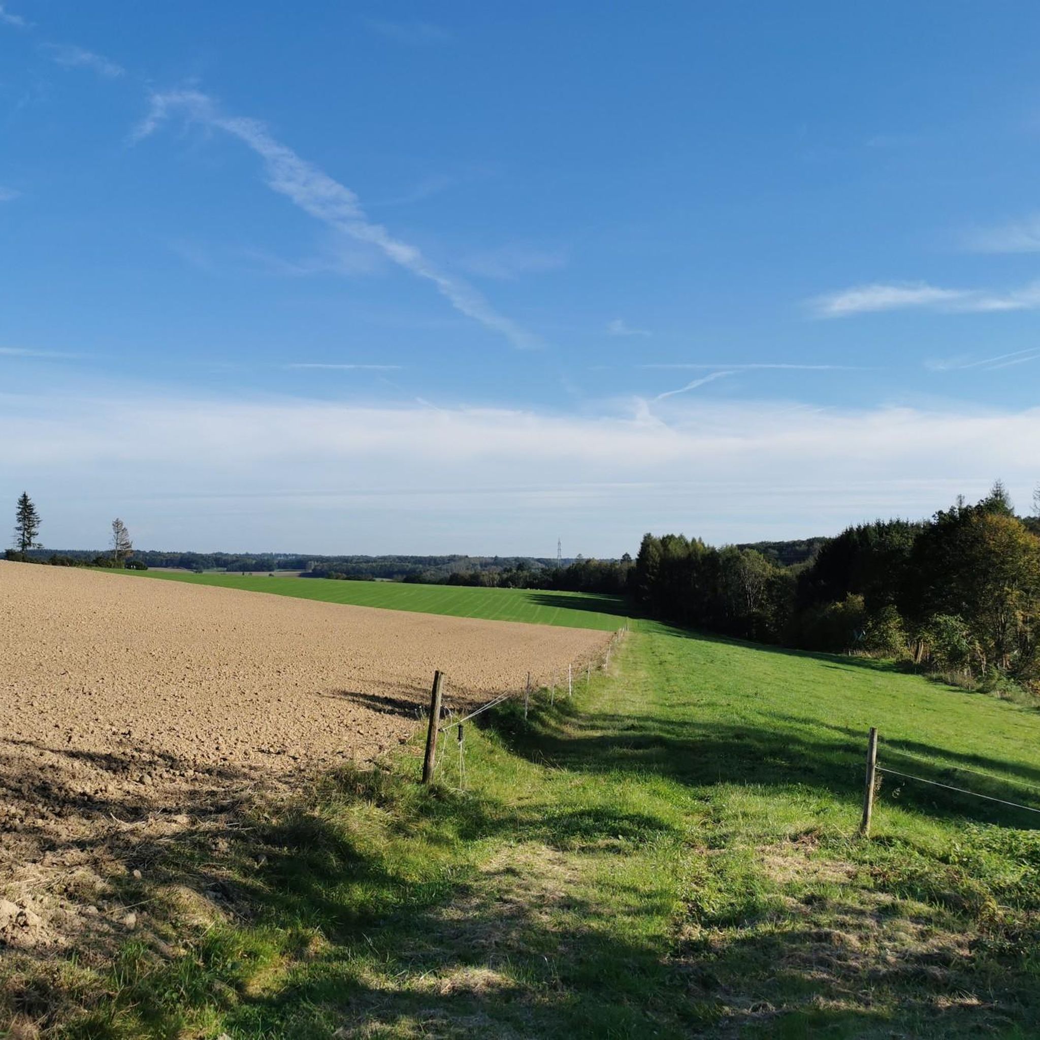
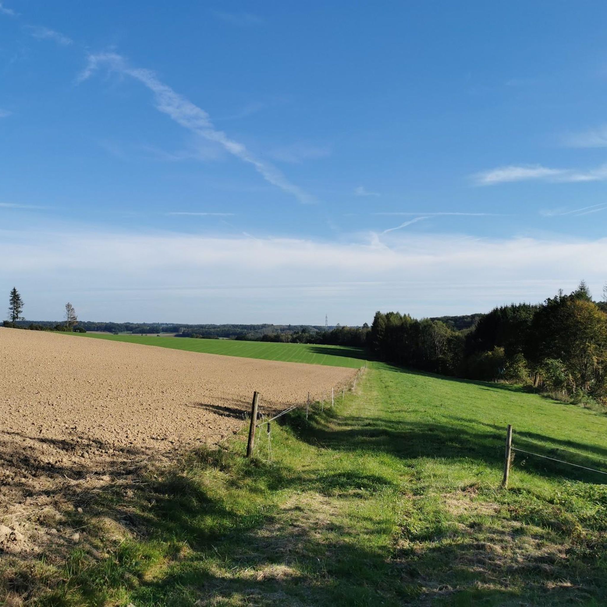
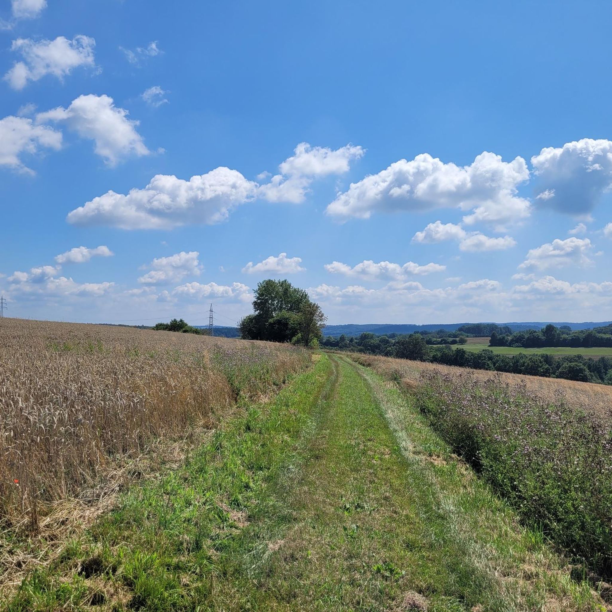
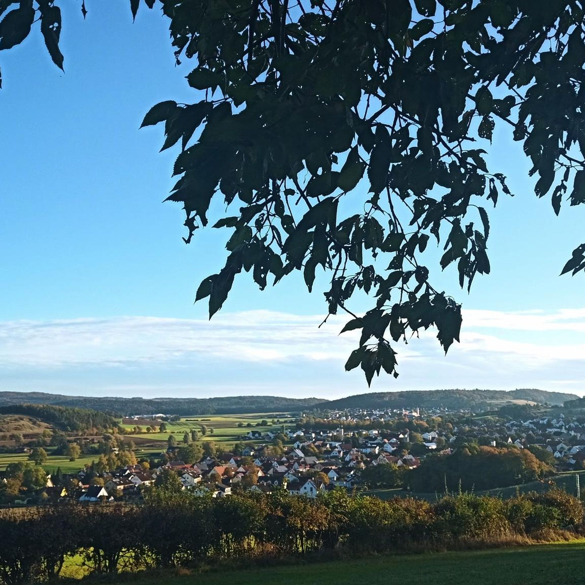
Hiking around Schürdt offers access to the diverse landscapes of the Westerwald region in Germany. This area is characterized by gently rolling hills, expansive green forests, and wide-open fields, providing varied terrain for outdoor activities. Situated within a low mountain range environment, the region features unspoiled nature and numerous viewpoints.
Best hiking trails in Schürdt
- The most popular hiking route is Open-air stage Mehren – Mehrbach loop from Giershausen, a 14.2 miles (22.9 km) trail that takes 6 hours…
Last updated: July 5, 2026
4.5
(27)
100
hikers
22.9km
06:17
370m
370m
Hard hike. Very good fitness required. Easily-accessible paths. Suitable for all skill levels.
10
hikers
3.51km
00:57
50m
50m
Easy hike. Great for any fitness level. Easily-accessible paths. Suitable for all skill levels.

Sign up for free
5.0
(1)
12
hikers
4.86km
01:18
60m
60m
Easy hike. Great for any fitness level. Easily-accessible paths. Suitable for all skill levels.
5.0
(1)
6
hikers
13.4km
03:37
170m
170m
Moderate hike. Good fitness required. Easily-accessible paths. Suitable for all skill levels.
5
hikers
Easy hike. Great for any fitness level. Easily-accessible paths. Suitable for all skill levels.
Get access to more routes and recommendations from other explorers.
Sign up for free
Already have an account?
Our route recommendations are based on thousands of hikes, rides, and runs completed by other people on komoot.
Start today with a free account
Your next adventure awaits.
Login or Signup
Tips from the Community

beautiful old church that is not always open
0
0
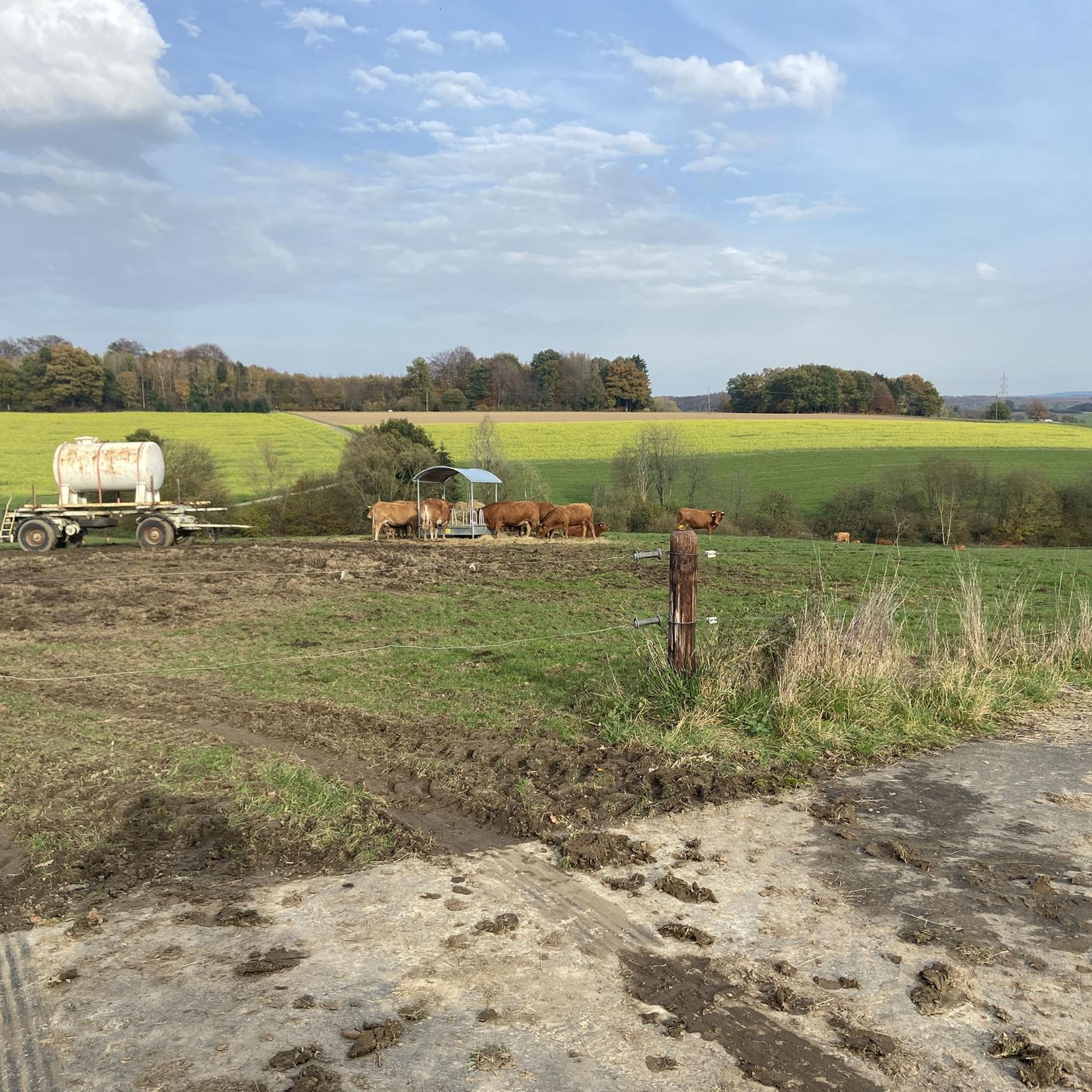
the first impression: very close to nature and horses that feel comfortable
0
0
very nice ambience for small performances
0
0

The Protestant parish church was built around 1200 and is one of the oldest late Romanesque village churches in the Westerwald. One of the oldest late Romanesque village churches in the Westerwald.
2
0

Next time I'll stop by when I get the chance.
1
0
Nice place to rest!
1
0
Great and quaint surroundings!
0
0
Nice here!
1
0
Frequently Asked Questions
How many hiking trails are available around Schürdt?
There are over 800 hiking trails around Schürdt, offering a wide range of options for all skill levels. You'll find everything from easy strolls to more challenging long-distance routes through the diverse landscapes of the Westerwald region.
What types of terrain can I expect on hikes near Schürdt?
The terrain around Schürdt is characterized by gently rolling hills, expansive green forests, and wide-open fields. You'll encounter a mix of well-maintained paths, forest tracks, and some more natural, uneven sections, typical of a low mountain range environment.
Are there easy hiking trails suitable for beginners or leisurely walks?
Yes, Schürdt offers plenty of easy hiking trails, with over 470 routes categorized as easy. These are perfect for beginners, families, or anyone looking for a leisurely stroll through picturesque landscapes. An example of an easy route is the Beautiful bench loop from Neitersen, which is just under 6 km long.
Are there any circular hiking routes around Schürdt?
Yes, the region around Schürdt is well-known for its circular hiking trails, including the certified 'Wäller Touren' and 'Kleine Wäller' routes. Many of the trails listed on komoot are loops, such as the Bridge over the Wied – View of Seifen loop from Altenkirchen-Flammersfeld, offering convenient day trips.
What are some notable natural features or landmarks to look out for on hikes?
While hiking around Schürdt, you can explore various natural features and viewpoints. The broader Westerwald region, accessible from Schürdt, boasts highlights like the wild and romantic Holzbachschlucht Gorge and the tranquil Westerwald Lake District. For specific viewpoints, consider visiting the Raiffeisen Tower on Beulskopf or the View from Bertenauer Kopf Shelter.
Are there any dog-friendly hiking trails in the Schürdt area?
Most hiking trails around Schürdt are dog-friendly, allowing you to enjoy the natural beauty of the Westerwald with your canine companion. It's always a good idea to keep dogs on a leash, especially in areas with wildlife or near agricultural land, and to carry water for them.
What do other hikers enjoy most about the trails in Schürdt?
The trails in Schürdt are highly rated by the komoot community, with an average score of 4.6 stars from over 4,200 reviews. Hikers often praise the diverse landscapes, the well-maintained paths, and the peaceful atmosphere of the forests and open fields. The variety of routes, from easy to difficult, is also frequently highlighted.
Are there places to rest or find refreshments along the hiking routes?
Yes, within the broader area around Schürdt, you can find various huts and rest areas. For example, the Moss Hut and the Georg Kalkar Hut offer spots to take a break. Some routes may also pass through villages where cafes or pubs might be available, though it's always wise to carry your own provisions.
What is the best time of year to go hiking around Schürdt?
The Westerwald region around Schürdt offers beautiful hiking opportunities throughout the year. Spring brings blooming wildflowers, summer provides lush green forests, and autumn transforms the landscape with vibrant colors. Even in winter, with appropriate gear, the snow-covered hills can offer a serene hiking experience. The gently rolling hills make it accessible in most seasons.
Are there options for longer, more challenging hikes near Schürdt?
Yes, for those seeking a challenge, Schürdt provides access to more difficult routes. The Open-air stage Mehren – Mehrbach loop from Giershausen is a difficult 22.9 km trail with significant elevation gain, taking over 6 hours to complete. The region also connects to the long-distance WesterwaldSteig, offering extensive hiking possibilities.
Is public transport available to reach hiking trailheads near Schürdt?
While specific public transport details for individual trailheads are not provided, the Westerwald region generally has a network of local buses. It is advisable to check local transport schedules for connections to villages near your chosen trailhead, as direct access to all routes by public transport may vary.
Are there any viewpoints offering panoramic vistas on the hikes?
Absolutely. The undulating terrain of the Westerwald ensures many opportunities for scenic views. Highlights like the Raiffeisen Tower on Beulskopf and the View from Bertenauer Kopf Shelter are specifically noted for their panoramic outlooks. Many trails also lead through open fields and over hills, providing expansive views of the surrounding countryside.
Most popular attractions around Schürdt

Get inspired with the komoot mobile app


Explore more
Browse the best Hikes in other regions.
