The best running trails around Montale
4.5
(13)
900
runners
57
runs
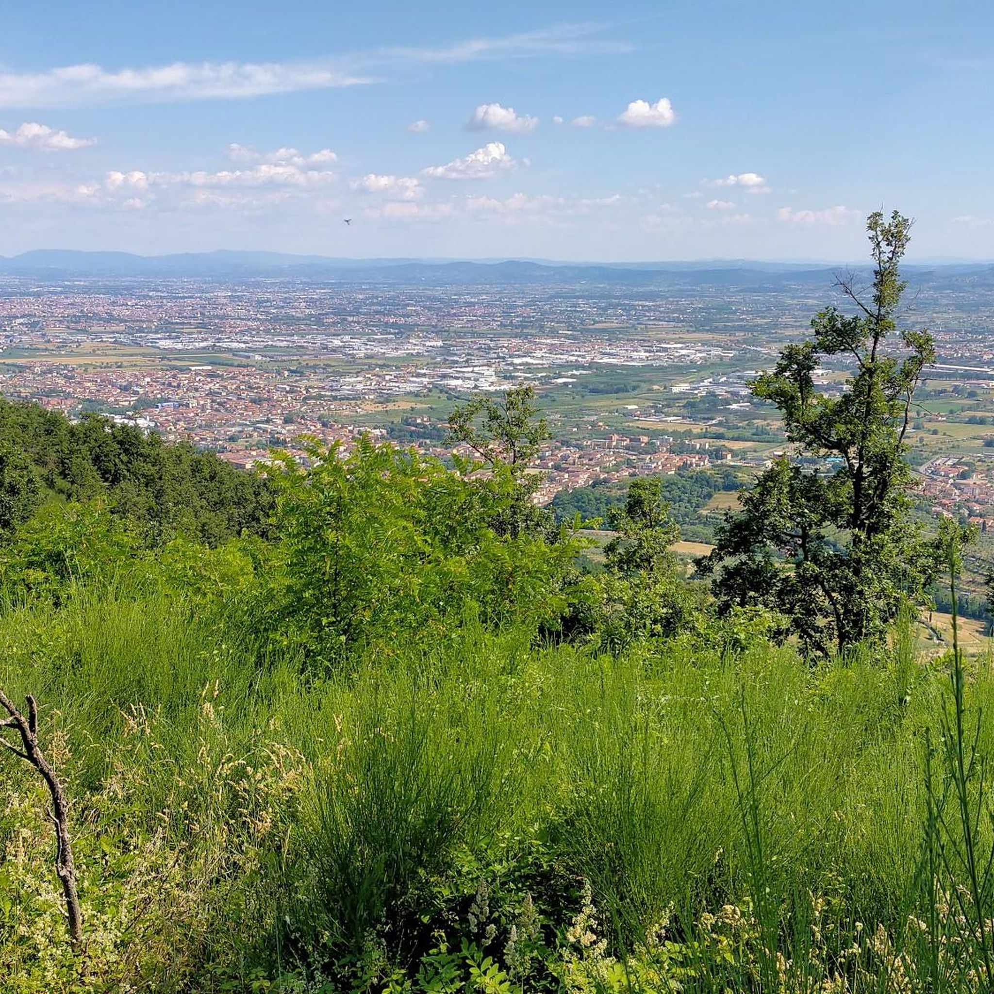
Jogging routes around Montale offer diverse landscapes, from the rolling hills dotted with olive groves to the expansive plains and the peaks of the Apennines. The region, situated in the province of Pistoia, Italy, provides a variety of terrains suitable for running. Notable features include the Calvana mountains, with their panoramic ridges, and the gentler paths found in areas like Parco dell'Aringhese. Runners can experience both challenging mountain trails and more accessible routes through the local countryside.
Best jogging routes…
Last updated: October 27, 2026
88
runners
9.09km
00:58
130m
130m
Moderate run. Good fitness required. Mostly paved surfaces.
84
runners
Hard run. Very good fitness required. Mostly paved surfaces.

4.5
(2)
49
runners
10.3km
01:04
10m
10m
Moderate run. Good fitness required. Mostly paved surfaces.
24
runners
9.41km
00:58
40m
40m
Moderate run. Good fitness required. Mostly paved surfaces.
18
runners
9.14km
00:57
30m
30m
Moderate run. Good fitness required. Mostly paved surfaces.
Get access to more routes and recommendations from other explorers.
Already have an account?
Our route recommendations are based on thousands of hikes, rides, and runs completed by other people on komoot.
Start today with a free account
Your next adventure awaits.
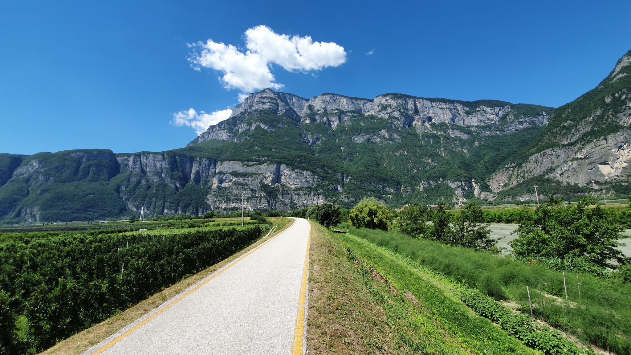
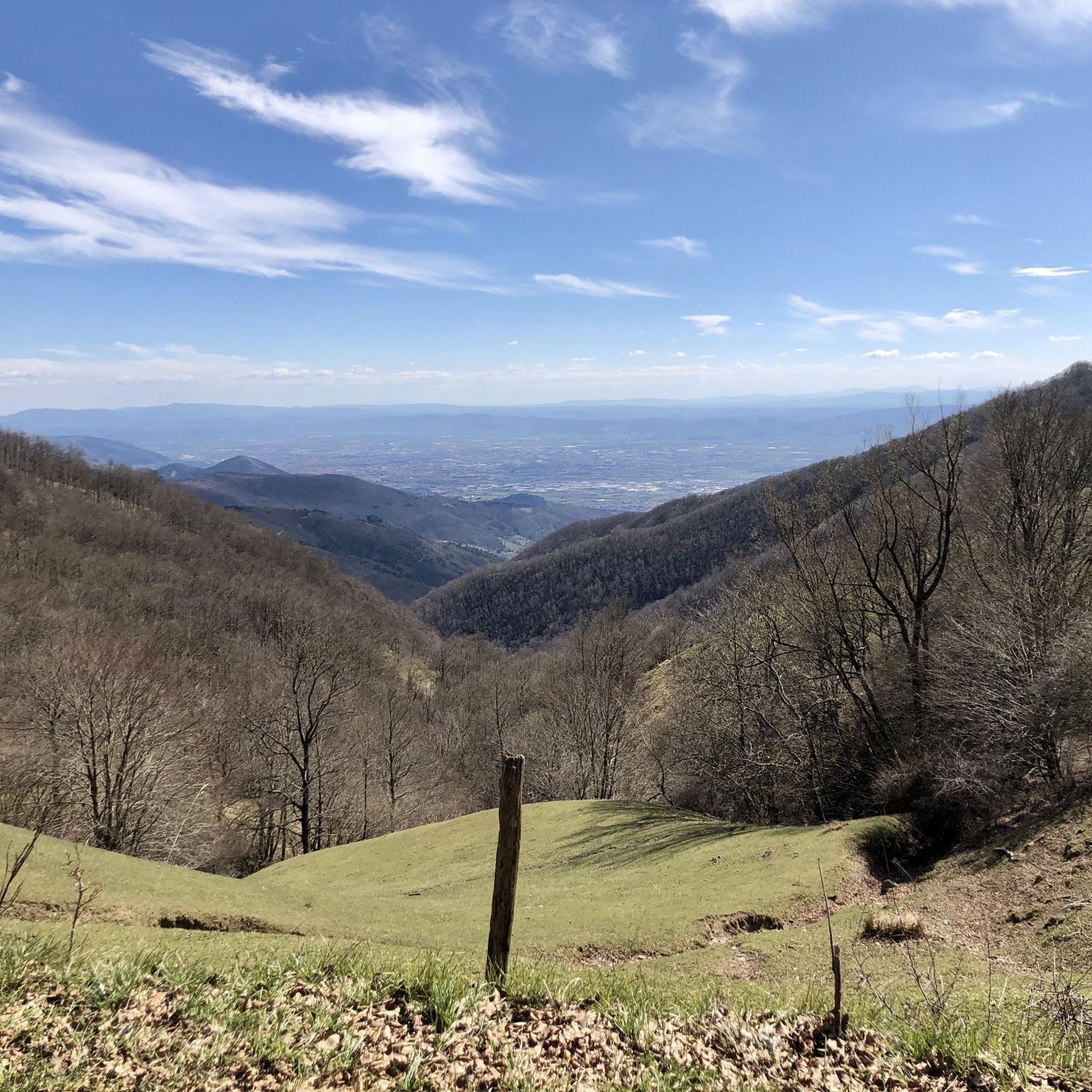
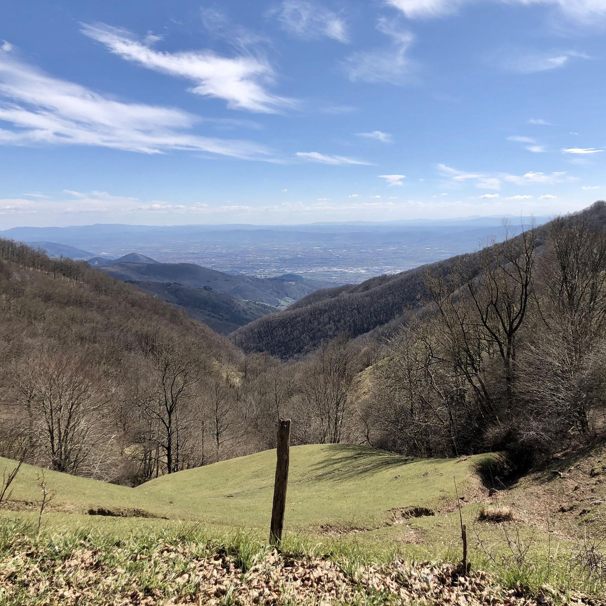
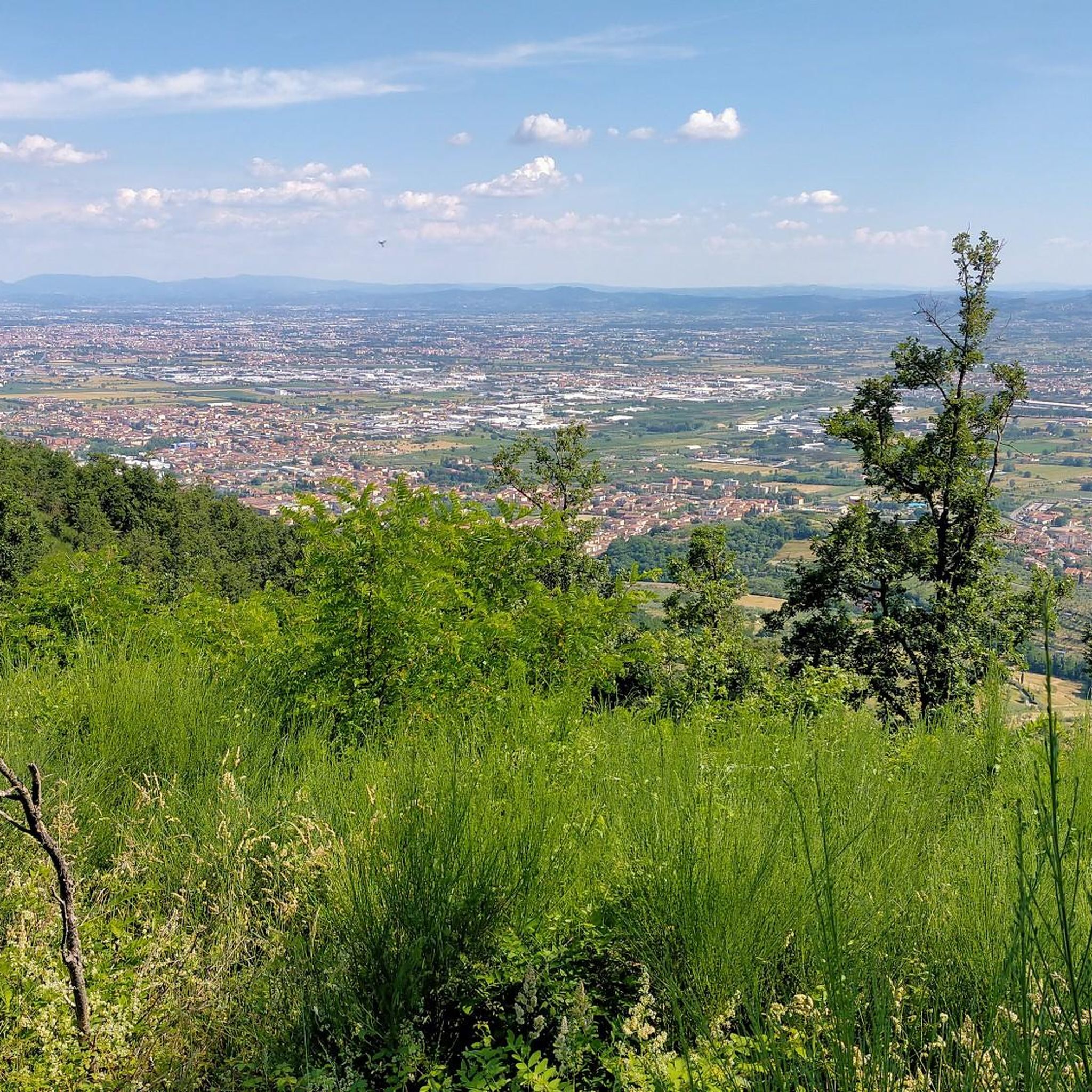
Other adventures around Montale

Tips from the Community

The brick pedestrian walkway over the Ombrone Pistoiese is located in the Ferruccia area (between the municipalities of Agliana and Quarrata), near the church and the historic Via Branaccia. It was originally built in 1820 in brick to replace an ancient ford on the river
0
0

La Piazza di Montale, here the cycle paths going towards Pistoia tend to disappear
0
0
Piazza Giacomo Matteotti is the central square and the nerve center of the municipality of Montale, in the province of Pistoia. [1, 2] It represents the main meeting point for the local community, surrounded by bars, commercial activities, and historical landmarks of the town. Recently, the area has undergone a significant urban redevelopment project that has enhanced its pedestrian spaces.
0
0

Ponticino sull'Agna at the entrance to Fognano, connects the latter to Borgo del Carbonizzo in the municipality of Montemurlo
2
0
Frequently Asked Questions
How many running routes are available around Montale?
Montale offers a diverse selection of over 50 running routes, catering to various fitness levels. These include 25 moderate trails and 28 more difficult options, providing plenty of choices for your next run.
What kind of terrain can I expect on jogging trails in Montale?
Jogging routes in Montale feature a varied landscape, from the gentle slopes of rolling hills dotted with olive groves to expansive plains. For more challenging runs, you can explore the peaks of the Apennines, particularly the Calvana mountains, which offer significant elevation gains and panoramic views.
Are there any running routes with great viewpoints in Montale?
Absolutely! The region is known for its stunning vistas. For spectacular panoramic views, consider trails leading to the Croce della Retaia in the Calvana mountains, where you can see across the Florentine plain. Another excellent spot is Montale Alto, where a castle once stood, offering commanding views over the surrounding plains. The View of Tobbiana loop from Montale also provides scenic outlooks towards the town of Tobbiana.
Are there any family-friendly running paths in Montale?
While many routes in Montale involve varied terrain and some elevation, areas like the Parco dell'Aringhese offer gentler paths suitable for walks or light jogs with the family. For specific routes, it's best to check individual trail descriptions for difficulty and length to ensure they match your family's needs.
Can I find dog-friendly running trails in Montale?
Many of Montale's natural trails are suitable for running with dogs, especially in areas like the Calvana mountains or the general countryside. However, always ensure your dog is under control, and check for any local regulations regarding pets in specific nature reserves or protected areas.
What are some interesting landmarks or attractions I might see while running in Montale?
Beyond the natural beauty, you can encounter several points of interest. The archaeological park of Terramara di Montale offers a glimpse into ancient history. You might also spot the distinctive Villa Castello Smilea. For those exploring the higher elevations, highlights like Passo della Collina or Passo degli Acquiputoli offer scenic mountain pass experiences.
Are there any long-distance running routes around Montale?
Yes, for those seeking a longer challenge, Montale offers several options. The Along the motorway loop from Montale Agliana is a difficult 14.0-mile (22.5 km) trail, perfect for a long-distance running experience across the local plains.
What do other runners enjoy most about jogging in Montale?
The running community highly rates Montale's trails, with an average score of 3.6 stars from over 9 reviews. Runners often praise the varied terrain, from challenging mountain paths to scenic loops through olive groves, and the opportunities for both moderate and difficult workouts.
Are there circular running routes available in Montale?
Yes, many of the running routes in Montale are designed as loops, allowing you to start and finish in the same location. Examples include the popular Running loop from Montale and the Bacino ex Cava Briganti loop from Montale, which offer convenient circular paths through the area.
What is the best time of year to go running in Montale?
Montale's diverse landscape makes it suitable for running across multiple seasons. Spring and autumn offer pleasant temperatures and vibrant scenery, ideal for exploring both the hills and plains. Summer mornings or evenings can also be great, especially for higher-altitude trails in the Apennines, while winter can provide unique, crisp running conditions, though some mountain paths might require more caution.
Are there options for beginner runners in Montale?
While Montale features many moderate and difficult trails, there are also gentler options suitable for beginners. Routes with minimal elevation gain through the plains or within local parks like Parco dell'Aringhese can be a good starting point. Always check the route's difficulty and elevation profile before heading out.
How can I find parking near the running routes in Montale?
Parking availability varies depending on the specific trailhead. For routes starting directly from Montale, you can often find public parking within the town. For trails leading into the Calvana mountains or other natural areas, look for designated parking spots near trailheads or in nearby villages like Tobbiana, which serves as a starting point for many mountain paths.
Can I reach Montale's running trails using public transport?
Montale is accessible by public transport, which can bring you to the town center. From there, many routes are directly accessible, or you might need a short walk to reach specific trailheads. For trails deeper in the Calvana mountains, public transport options might be more limited, so planning your journey in advance is recommended.
Most popular attractions around Montale

Get inspired with the komoot mobile app


Explore more
Browse the best Running Trails & Routes in other regions.
