The best walks and hikes around Sinnariolo/Sennariolo
4.4
(589)
3,042
hikers
96
hikes
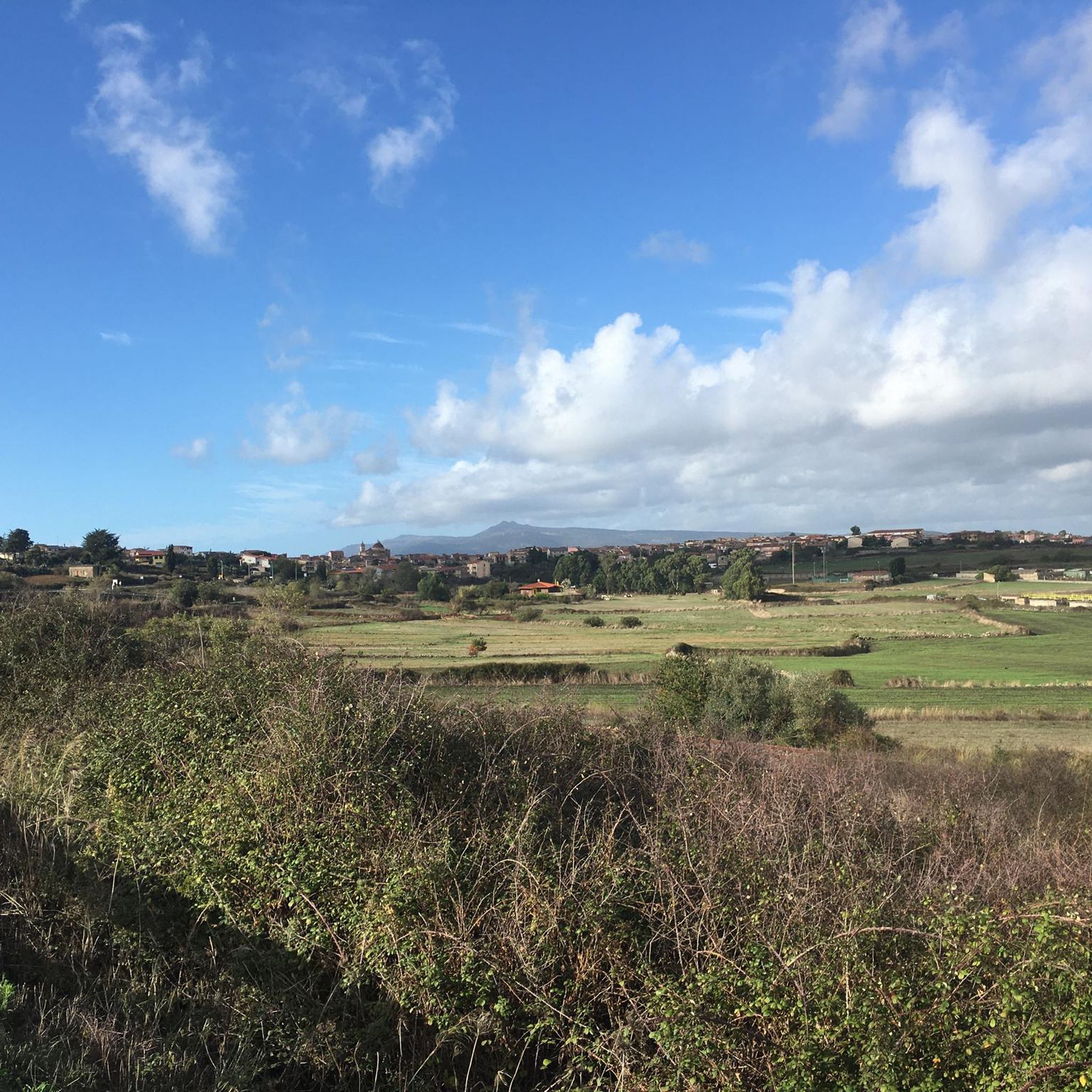
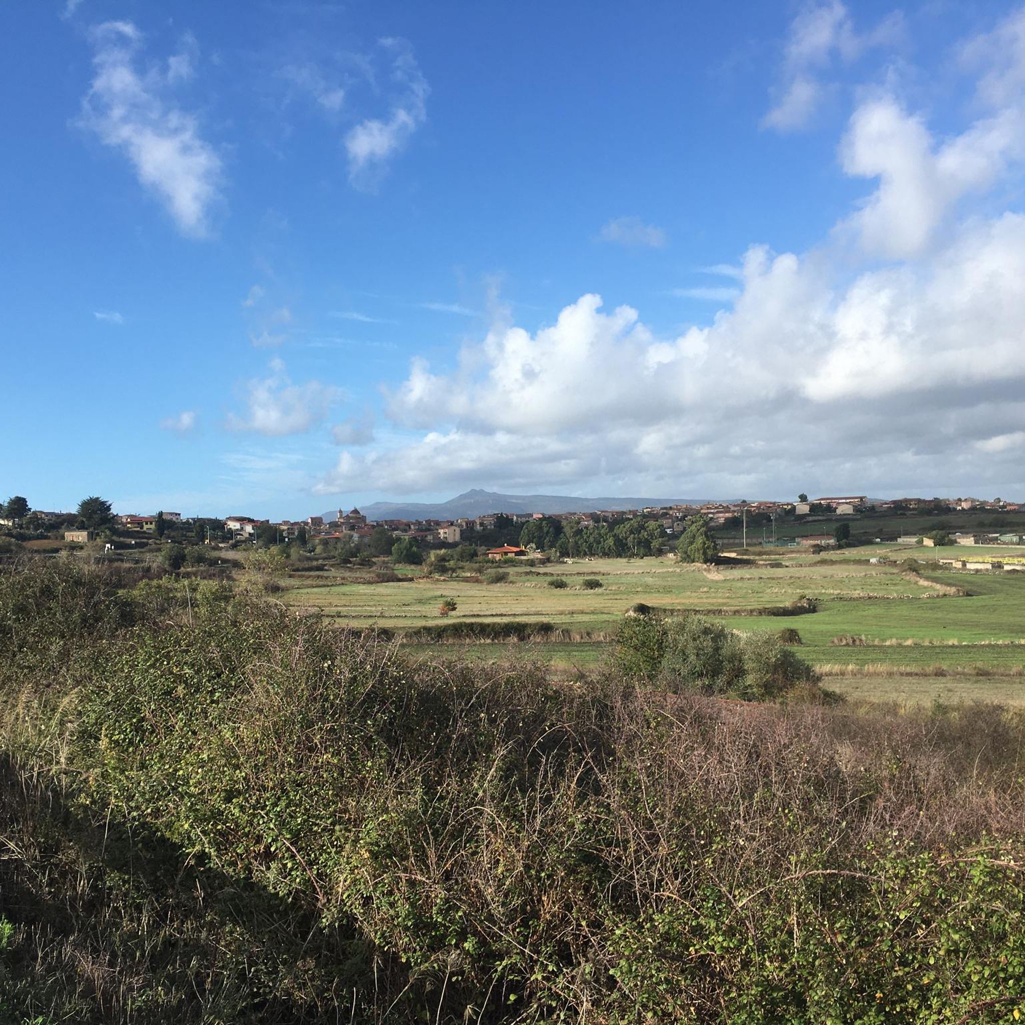
Hiking around Sinnariolo/Sennariolo offers a diverse landscape for outdoor exploration. The region features a mix of rolling hills, coastal areas with historic towers, and views of local villages. Trails often lead through natural settings, providing opportunities to experience the local terrain. The area provides a variety of paths suitable for different hiking preferences.
Best hiking trails around Sinnariolo/Sennariolo
- The most popular hiking route is Casteddu Etzu Trail, an easy 3.5 miles (5.6 km) trail that takes about 1 hour…
Last updated: July 8, 2026
4.6
(11)
41
hikers
5.57km
01:42
190m
190m
Hike to the historic Etzu Castle in Cuglieri for an easy 3.5-mile (5.6 km) route with panoramic views of Montiferru and the coast.
4.5
(26)
99
hikers
Moderate hike. Good fitness required. Easily-accessible paths. Suitable for all skill levels.

Sign up for free
4.3
(3)
13
hikers
8.21km
02:19
170m
170m
Moderate hike. Good fitness required. Easily-accessible paths. Suitable for all skill levels.
3
hikers
20.2km
05:42
430m
430m
Hard hike. Very good fitness required. Easily-accessible paths. Suitable for all skill levels.
4.0
(2)
7
hikers
Hard hike. Very good fitness required. Easily-accessible paths. Suitable for all skill levels.
Get access to more routes and recommendations from other explorers.
Sign up for free
Already have an account?
Our route recommendations are based on thousands of hikes, rides, and runs completed by other people on komoot.
Start today with a free account
Your next adventure awaits.
Login or Signup
Tips from the Community

The road is not paved for the last kilometer or so, before the Tower.
0
0

Beautiful view on the way to the waterfall
0
0

Once you reach the end of the road, take the path on the left, aided in the direction by yellow signs with the right direction. You have to go down by skipping a few stones here and there, and the last stretch requires you to rely on an improvised balustrade with various branches, which is however a bit unsafe.
1
0
The arrow shown in the photo is no longer present (April 2024). As shown in the photo, once you reach this crossroads, take the passage on the left.
0
0

A very beautiful walk. Good shoes are necessary. The waterfall is very beautiful. A cool spot during a hot day. Beware of slippery stones and the descent. Beautiful views.
1
0
Be careful when descending/ascenting the path, the support balustrade is quite improvised. You need good shoes and good balance.
0
0

Beautiful hikes on the beach and in the hinterland
0
0

Punta Foghe represents the spectacular result of millennia of natural erosion: the plateau extends down to the sea, forming a majestic cliff with islets and small coves that enrich the scene. A unique element is given by the river which, before flowing into the sea, moves, failing to erode the basalt of the cliff. At the center of this natural setting is the Foghe tower, a Spanish lookout structure built at the end of the 16th century and decommissioned in the mid-19th century. Built of basalt and red vulcanite ashlars, the tower integrates in a fascinating way with the surrounding environment. From the tower, there are great views, with other coastal towers visible along the coast.
3
0
Frequently Asked Questions
How many hiking trails are available around Sinnariolo/Sennariolo?
There are over 70 hiking routes in the Sinnariolo/Sennariolo area, offering a wide range of options from easy strolls to more challenging excursions. Approximately 45 of these are considered easy.
Are there easy or family-friendly hiking options in Sinnariolo/Sennariolo?
Yes, the region offers many easy trails suitable for families. An excellent choice is the Casteddu Etzu Trail, an easy 3.5-mile (5.6 km) path that takes about 1 hour 40 minutes to complete, providing a straightforward walk through the local landscape.
What kind of scenery can I expect on hikes around Sinnariolo/Sennariolo?
Hiking around Sinnariolo/Sennariolo offers a diverse landscape. You'll find rolling hills, coastal areas with historic towers, and scenic views of local villages. Many trails lead through natural settings, providing opportunities to experience the local terrain of Sardinia's west coast.
Are there any hikes that feature waterfalls in the Sinnariolo/Sennariolo area?
Yes, you can discover waterfalls on some routes. The View of the Village and Hills – Massabari Waterfalls loop from Cùllieri/Cuglieri is a moderate 7.0-mile (11.2 km) path that provides scenic views and includes the beautiful Massabari Waterfalls. You can also find the Cabu Nieddu Waterfall in the area.
Are there any challenging hikes for experienced trekkers near Sinnariolo/Sennariolo?
While the majority of trails are easy to moderate, there are a few more challenging options for experienced hikers. The region has 5 routes classified as difficult, offering more strenuous climbs and longer distances for those seeking a greater challenge.
Can I find circular hiking routes in Sinnariolo/Sennariolo?
Yes, many routes in the area are designed as loops, allowing you to start and end in the same location. For example, the View of Torre Columbargia – Torre Columbargia Beach loop from Porto Alabe is a 6.8-mile (10.9 km) circular trail along the coast.
What is the best time of year to go hiking in Sinnariolo/Sennariolo?
The spring and autumn months are generally ideal for hiking in Sinnariolo/Sennariolo, offering pleasant temperatures and lush landscapes. Summers can be hot, especially for longer routes, while winters are mild but can bring occasional rain, making some coastal paths particularly atmospheric.
Are there any coastal hikes or routes with historic towers?
Absolutely. The Sinnariolo/Sennariolo region is known for its coastal paths and historic watchtowers. Consider the Foghe Tower – Tower of Ischia Ruggia loop from San Marco Evangelista, a moderate 5.1-mile (8.2 km) route that takes you past these historical landmarks with sea views.
What do other hikers say about the trails in Sinnariolo/Sennariolo?
The routes in Sinnariolo/Sennariolo are highly rated by the komoot community, with an average score of 4.5 stars from over 400 reviews. Hikers often praise the diverse scenery, from rolling hills to coastal views, and the variety of options suitable for different fitness levels.
Are there any specific natural landmarks or points of interest to look out for?
Beyond the historic towers and waterfalls, the area features several natural monuments and peaks. You can explore highlights like Fonte di Ellighes Uttiosos or enjoy views from peaks such as Monte Agudu.
Are there any shorter, easy walks for a quick outing?
Yes, if you're looking for a shorter, easy walk, the Foghe Tower – Tower of Ischia Ruggia loop from Torre di Foghe is an excellent choice. This easy 4.2-mile (6.7 km) loop can be completed in about 1 hour 55 minutes, offering coastal views without a significant time commitment.
Most popular routes around Sinnariolo/Sennariolo
Most popular attractions around Sinnariolo/Sennariolo

Get inspired with the komoot mobile app


Explore more
Browse the best Hikes in other regions.
