The best walks and hikes around Palosco
4.3
(607)
3,328
hikers
259
hikes
Hiking around Palosco offers access to the Oglio River regional park area, characterized by a plain environment and fluvial landscapes. The region features natural reserves with ancient woodlands of oaks and hornbeams, as well as oxbow lakes and marshy areas. These diverse environments provide varied terrain for outdoor activities, including walking along the Oglio River.
Best hiking trails around Palosco
- The most popular hiking route is Tower of Palazzolo sull'Oglio – Oglio Riverside Path loop from Palosco, a 5.0…
Last updated: July 9, 2026
4.5
(2)
23
hikers
Easy hike. Great for any fitness level. Easily-accessible paths. Suitable for all skill levels.
5.0
(1)
26
hikers
Moderate hike. Good fitness required. Easily-accessible paths. Suitable for all skill levels.

Sign up for free
4.8
(4)
14
hikers
Moderate hike. Good fitness required. Easily-accessible paths. Suitable for all skill levels.
4.5
(2)
14
hikers
Moderate hike. Good fitness required. Easily-accessible paths. Suitable for all skill levels.
5.0
(2)
12
hikers
Moderate hike. Good fitness required. Easily-accessible paths. Suitable for all skill levels.
Get access to more routes and recommendations from other explorers.
Sign up for free
Already have an account?
Our route recommendations are based on thousands of hikes, rides, and runs completed by other people on komoot.
Start today with a free account
Your next adventure awaits.
Login or Signup
Tips from the Community

network of canals and springs
0
0
People's Tower in Palazzolo
0
0
majestic tower visible from afar located in the center of Palazzolo
0
0
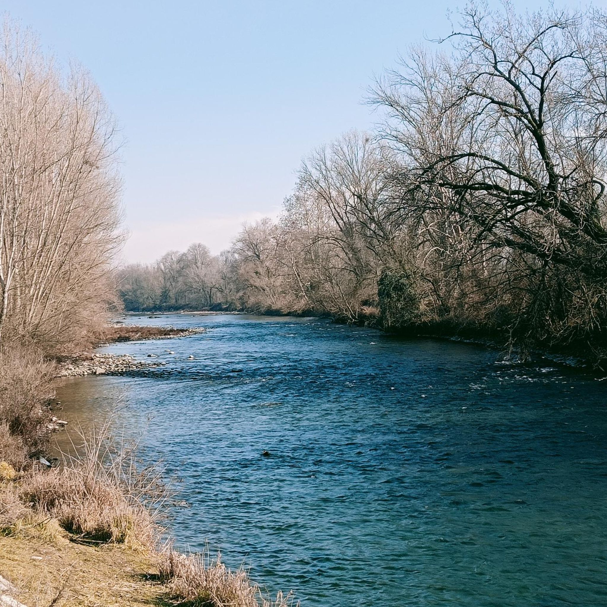
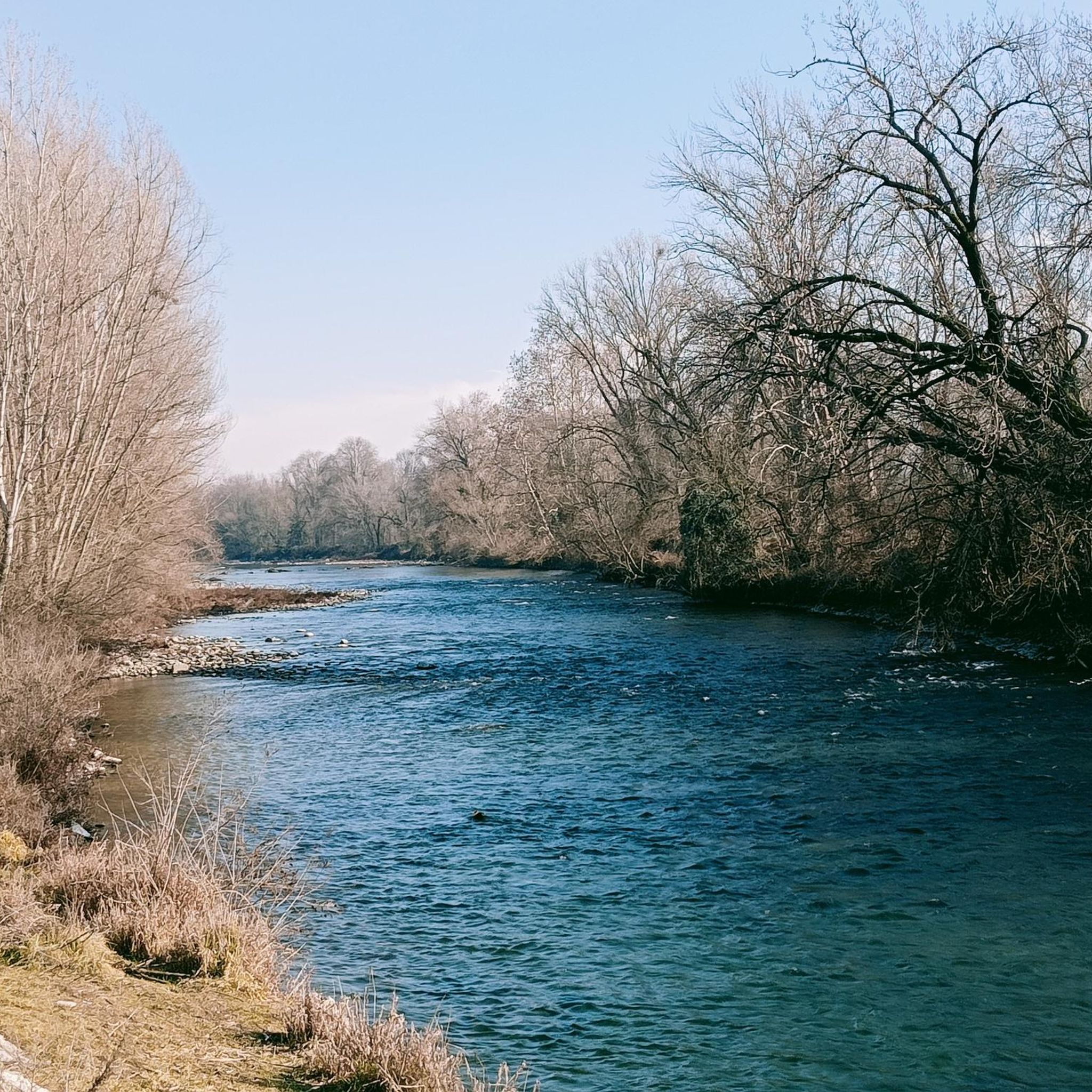
Old Bridge, we are in the North Oglio Park
0
0

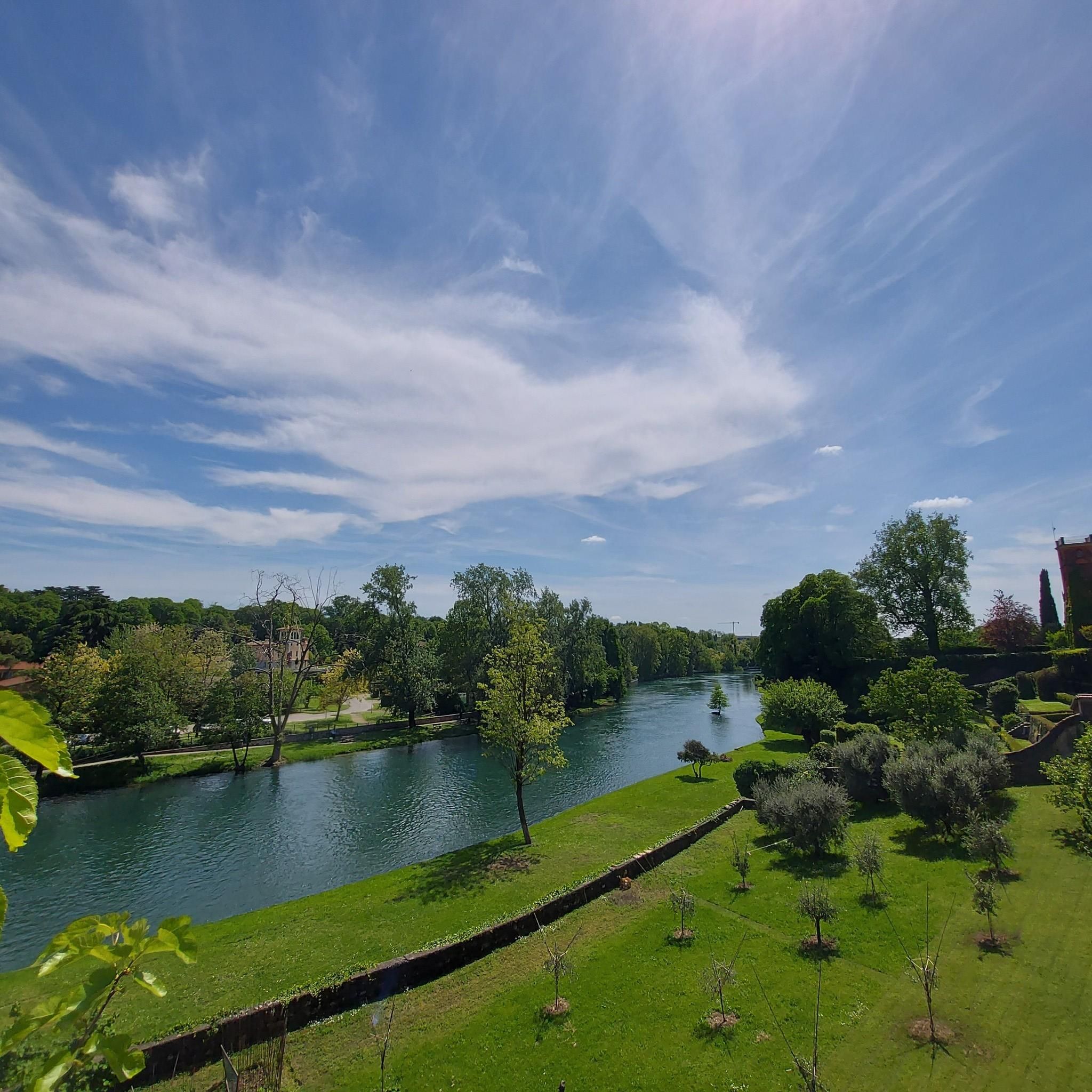
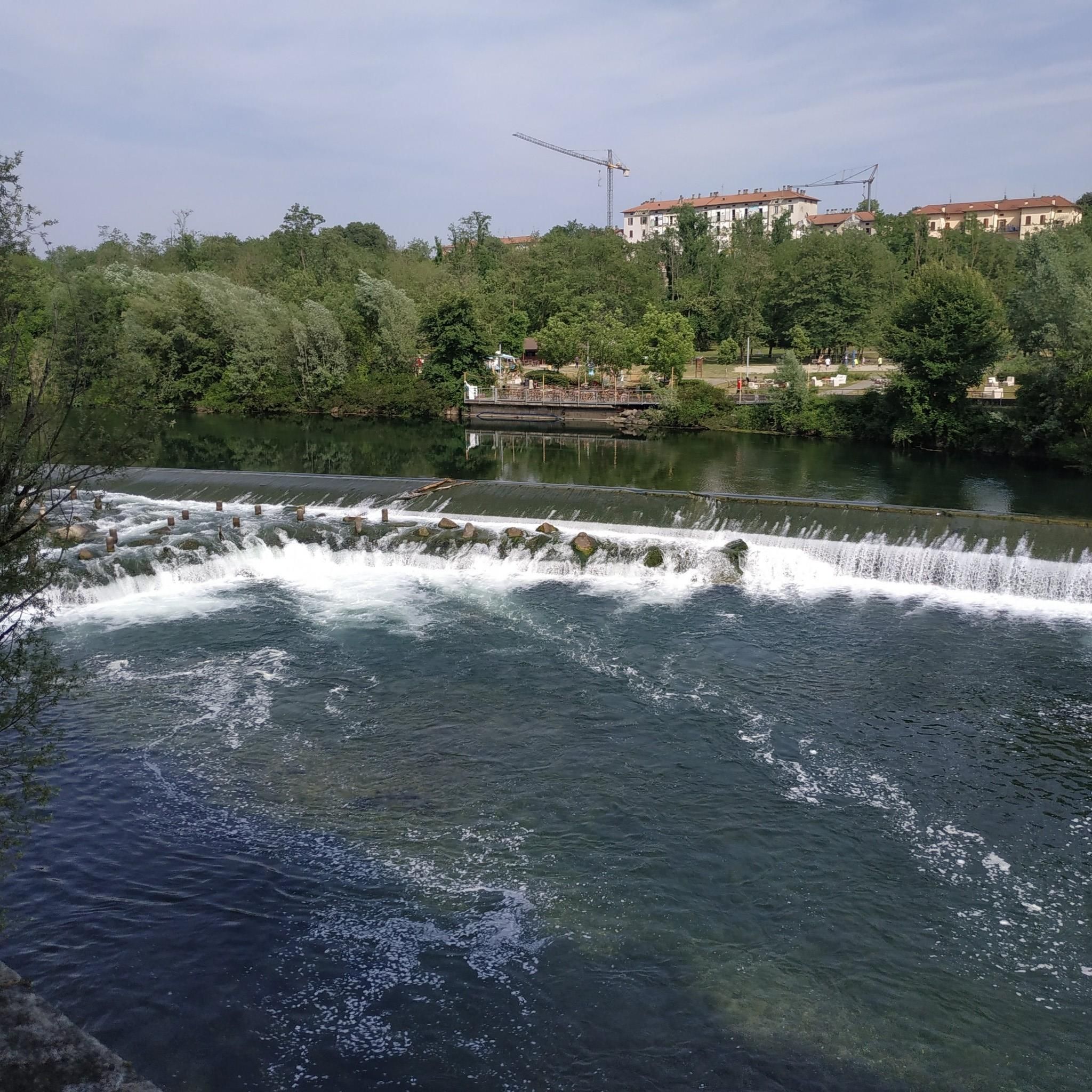
Splendid view of the Oglio from here
0
0

Beautiful panoramic view of the Oglio
1
0

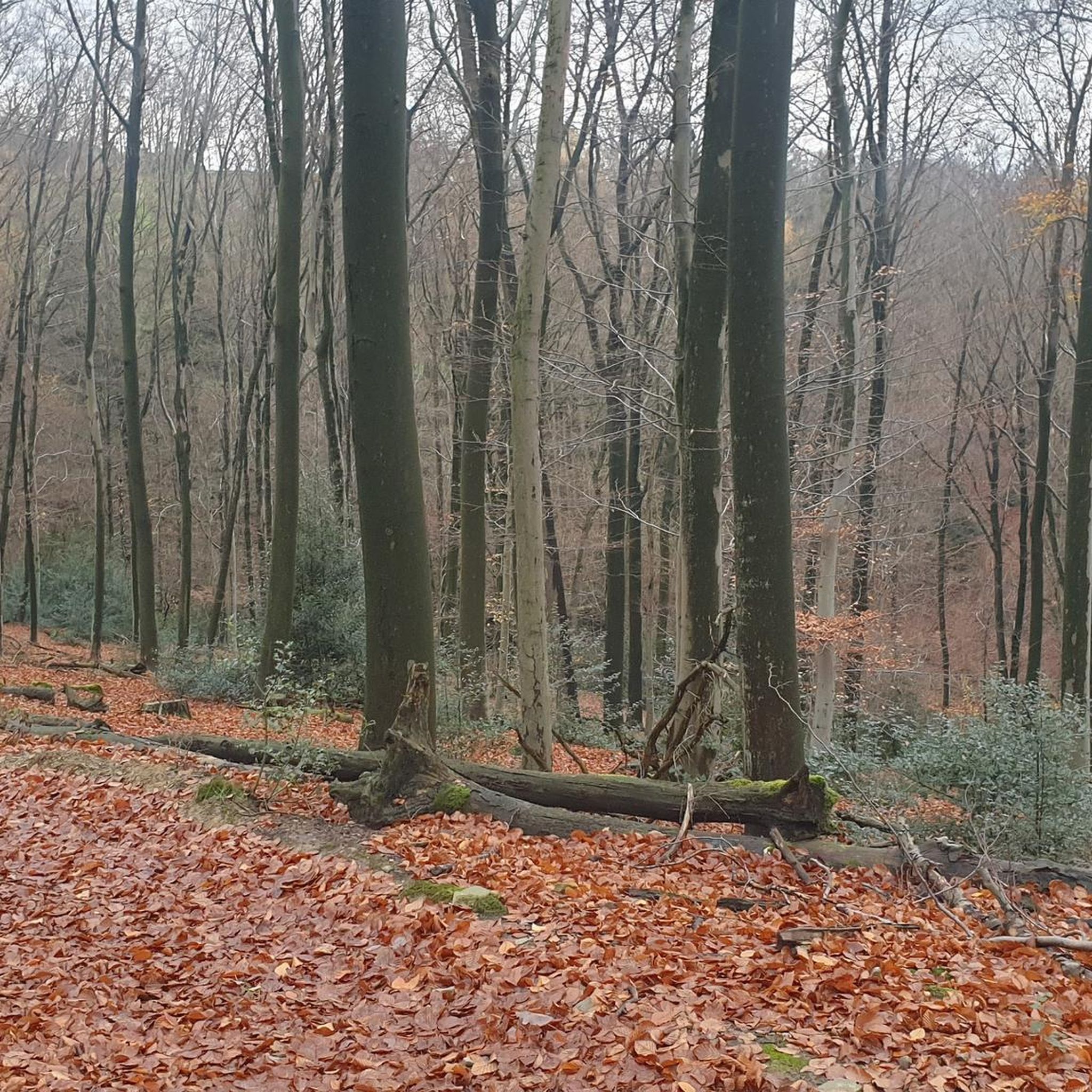
Be careful that as it is in the shade, the route can be slippery
0
0
Frequently Asked Questions
How many hiking trails are available around Palosco?
There are over 230 hiking routes around Palosco, offering a variety of options for different skill levels. You'll find trails ranging from easy strolls to more challenging hikes, primarily exploring the Oglio River regional park area.
What kind of terrain can I expect on hikes near Palosco?
Hikes around Palosco primarily feature plain and fluvial landscapes, following the Oglio River. You'll encounter natural reserves with remnants of ancient woodlands, such as oaks and hornbeams, as well as oxbow lakes and marshy areas. The terrain is generally flat, making it accessible for various activity levels.
Are there family-friendly hiking options in Palosco?
Yes, the Oglio River area provides many suitable paths for families. The extensive Greenway of the Oglio River, for instance, is well-marked and suitable for walking, offering varied scenery that can be enjoyed by all ages.
Can I bring my dog on the hiking trails around Palosco?
Many trails in the Palosco area, especially those along the Oglio River and within the Parco Oglio Nord, are dog-friendly. It's always recommended to keep your dog on a leash and respect local regulations regarding protected natural reserves.
Are there any circular hiking routes near Palosco?
Yes, many routes around Palosco are designed as loops. For example, the Palazzolo–Capriolo Cycle Path – Tower of Palazzolo sull'Oglio loop from Palazzolo sull'Oglio is a moderate 5.3-mile (8.5 km) circular hike that takes you through diverse scenery.
What are the best seasons for hiking in Palosco?
The best seasons for hiking around Palosco are generally spring and autumn, when the weather is mild and the natural landscapes are at their most vibrant. Summer can also be pleasant, especially along the river, but it's advisable to hike during cooler parts of the day. Winter offers a different, quieter experience, though some paths might be muddy.
What kind of natural attractions can I see along the trails?
The trails often lead through the Parco Oglio Nord, where you can discover diverse flora and fauna, including migratory birds and remnants of ancient woodlands. The Oglio River itself is a significant natural feature, and you might encounter oxbow lakes and marshy areas rich in specific plant formations like willows and orchids.
Are there any historical landmarks or points of interest near the hiking routes?
Yes, the region blends nature with history. You can find cultural points of interest like historical villas, fortresses, castles, and small shrines with frescoes. For instance, you could explore Malpaga Castle or the Visconti Fortress of Romano di Lombardia, which are notable historical sites in the vicinity.
What do other hikers enjoy most about hiking in Palosco?
The hiking routes around Palosco are highly rated by the komoot community, with an average score of 4.4 stars from over 500 reviews. Hikers often praise the peaceful fluvial landscapes, the well-maintained paths along the Oglio River, and the opportunity to connect with nature in the regional park.
Are there options for different hiking difficulty levels?
Yes, the trails around Palosco cater to various difficulty levels. Out of over 230 routes, 91 are considered easy, 129 are moderate, and 11 are more difficult, ensuring there's a suitable option whether you're a beginner or an experienced hiker.
Is there parking available at the trailheads?
While specific parking details vary by trailhead, many starting points for hikes in the Palosco area, especially those connected to the Oglio River Greenway or local parks, offer designated parking facilities. It's advisable to check the specific route details on komoot for parking information before you go.
Are there places to eat or drink along the hiking routes?
The broader Oglio River North Park area, which includes Palosco, features cultural points of interest like the Molino di Basso, which houses an Environmental Education Centre, a hostel, and a restaurant. While not every trail will have direct access to cafes, you'll find options in nearby towns and villages for refreshments.
Most popular attractions around Palosco

Get inspired with the komoot mobile app


Explore more
Browse the best Hikes in other regions.
