The best walks and hikes around Beinasco
4.3
(1181)
10,502
hikers
17
hikes
Hiking around Beinasco offers access to a network of trails primarily characterized by riverine landscapes and low elevation gains. The municipality is situated in the Metropolitan City of Turin, providing routes that follow the Stura di Lanzo and Sangone rivers. These paths often incorporate existing cycle paths, making them accessible for various fitness levels. The surrounding area features gentle terrain, with some routes extending into rural and agricultural settings.
Best hiking trails around Beinasco
- The most popular hiking route is…
Last updated: July 10, 2026
4.7
(11)
74
hikers
13.6km
03:28
40m
40m
Moderate hike. Good fitness required. Easily-accessible paths. Suitable for all skill levels.
4.0
(3)
30
hikers
6.72km
01:42
20m
20m
Easy hike. Great for any fitness level. Easily-accessible paths. Suitable for all skill levels.

Sign up for free
4.2
(6)
16
hikers
Moderate hike. Good fitness required. Easily-accessible paths. Suitable for all skill levels.
9
hikers
Hard hike. Very good fitness required. Easily-accessible paths. Suitable for all skill levels.
5.0
(2)
7
hikers
7.42km
01:54
20m
20m
Easy hike. Great for any fitness level. Easily-accessible paths. Suitable for all skill levels.
Get access to more routes and recommendations from other explorers.
Sign up for free
Already have an account?
Our route recommendations are based on thousands of hikes, rides, and runs completed by other people on komoot.
Start today with a free account
Your next adventure awaits.
Login or Signup

Tips from the Community

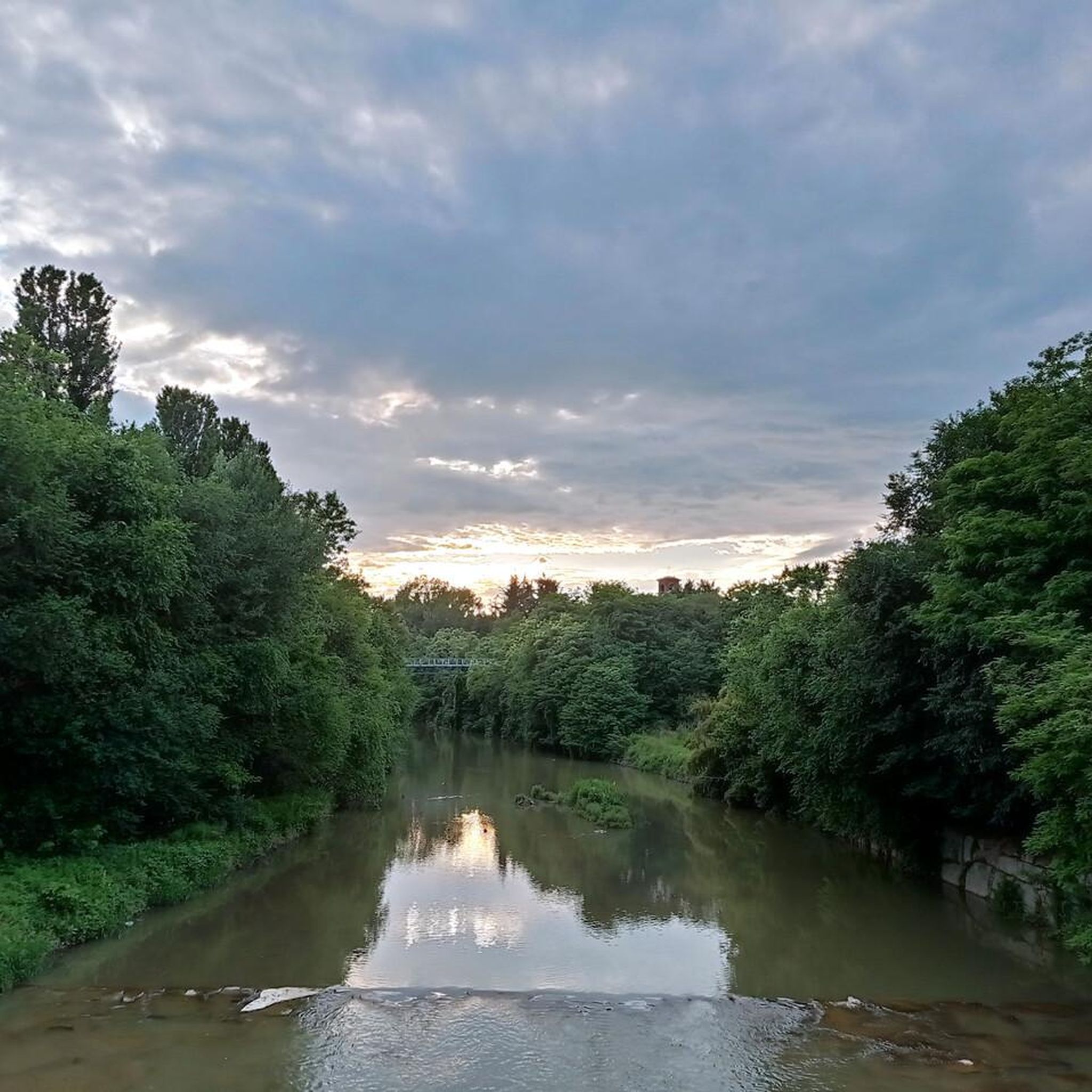
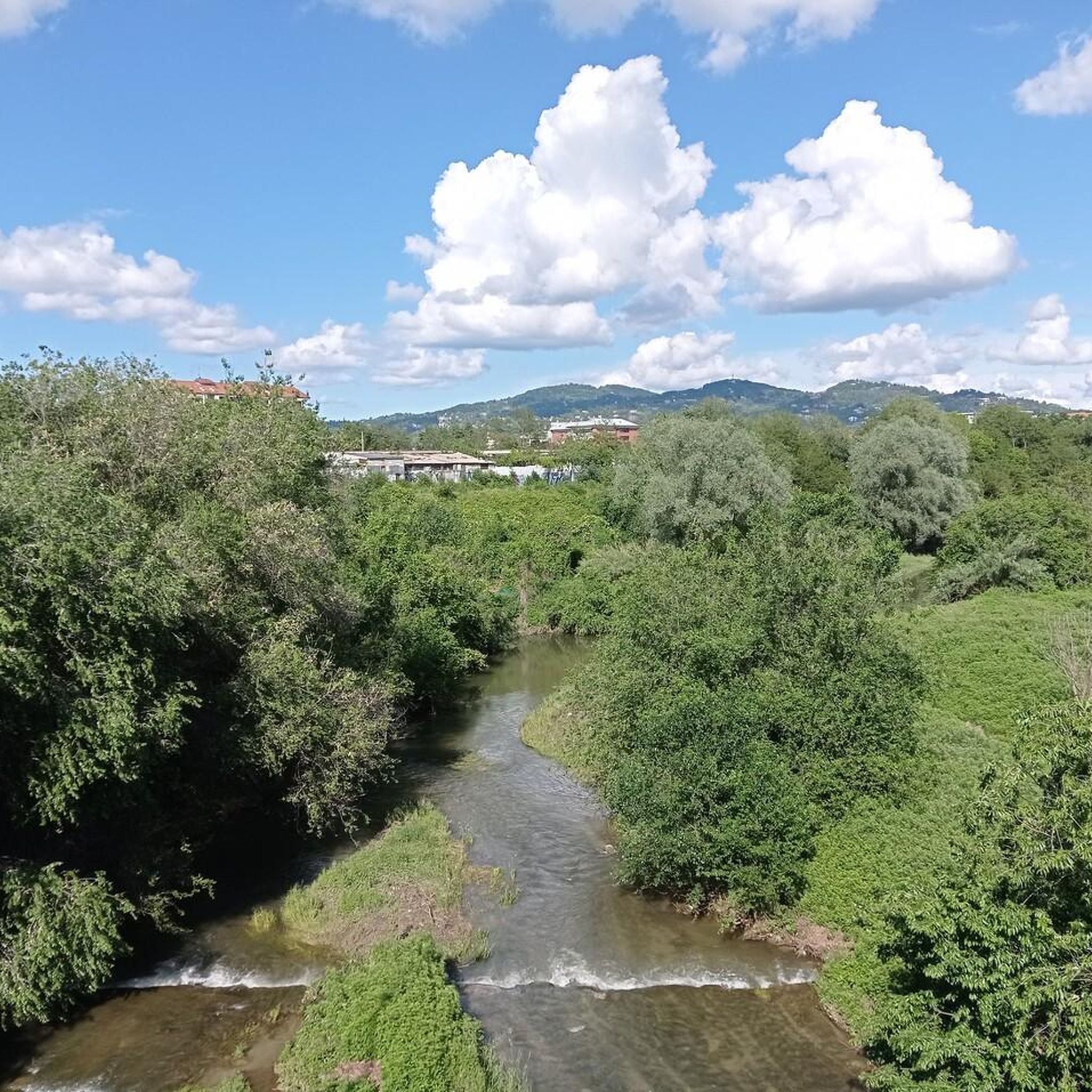
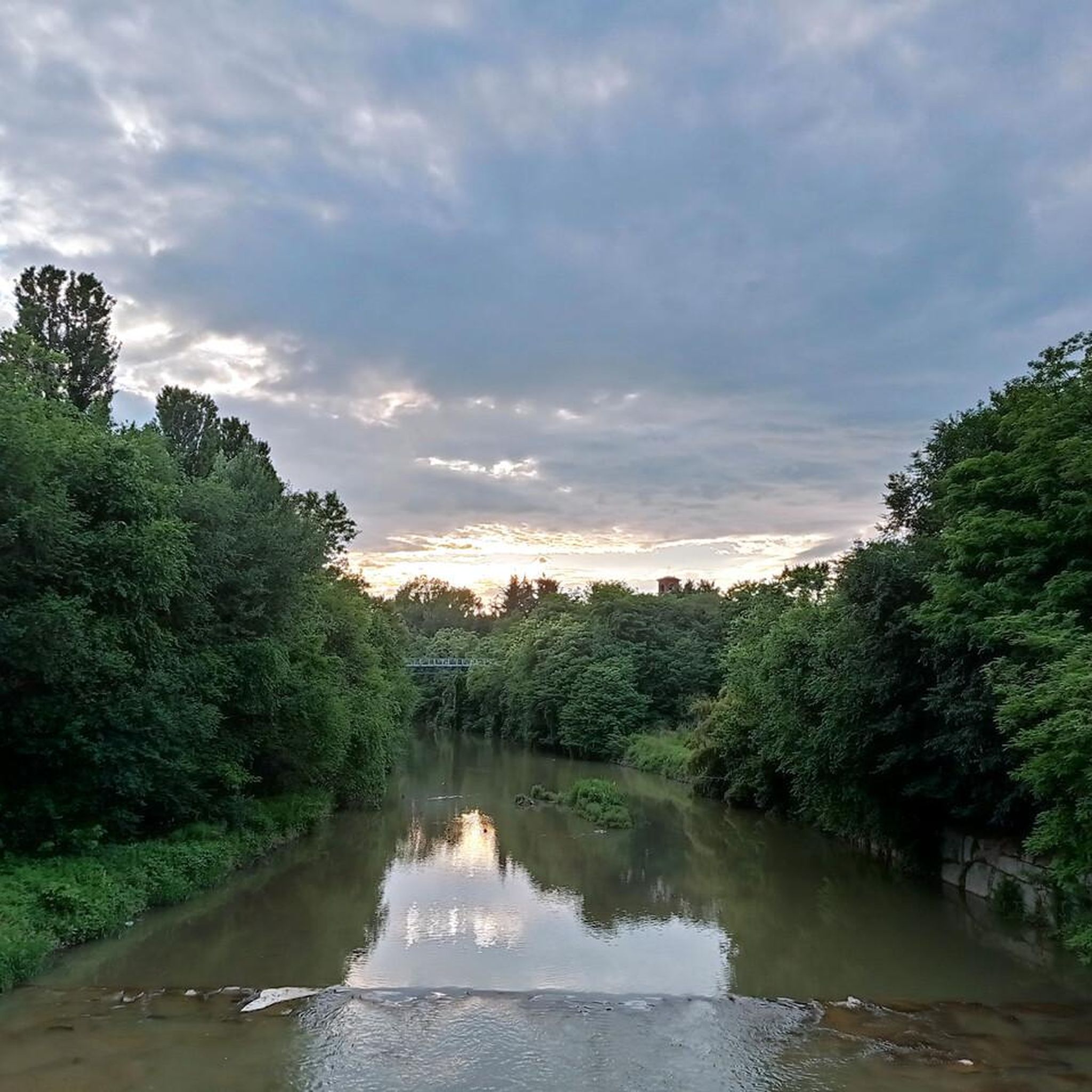
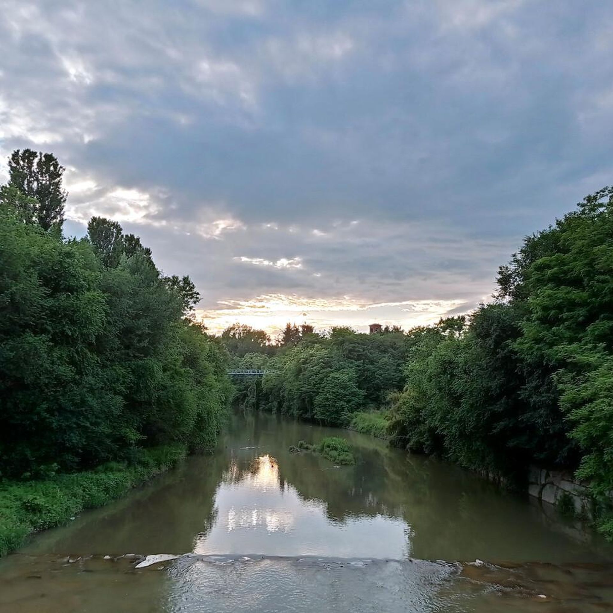
The cycle path along the right bank of the Sangone allows you to enjoy the river in complete tranquility. Beware of pedestrians, runners, dog walkers &c. who are also seeking the aforementioned tranquility.
0
0

Cycle path on the right bank of the Sangone, connecting Sangano to Orbassano
0
0
One of the many routes (or "routes") in Stupinigi Park. Enjoyable both on foot and by bike.
0
0
The castle is the highlight, but the farmhouse also has its charm: a beautiful, imposing building, built to be practical and useful.
0
0
A beautiful stretch of trail that, depending on forestry work in the surrounding woods, sometimes becomes a well-worn trail. Pleasantly winding, it breaks the monotony of the park's very straight routes.
0
0
Pleasant rest stop along the Sangone cycle path.
0
0

The historic center and the cycle paths around the town are wonderful.
0
0

Never seen works of this kind
0
0
Frequently Asked Questions
What types of hiking trails can I expect around Beinasco?
Hiking around Beinasco primarily features trails along riverine landscapes, such as the Stura di Lanzo and Sangone rivers. Many routes incorporate existing cycle paths, offering gentle terrain and low elevation gains suitable for various fitness levels. You'll find options ranging from easy walks through rural settings to more challenging, longer excursions.
Are there any easy hiking trails suitable for beginners or casual walkers?
Yes, Beinasco offers several easy trails. For instance, the Bridge over the Sangone loop from Beinasco is an easy 7.4 km path. Another accessible option is the Rota Storta – Viale Torino loop from Tetti Valfrè, which covers about 7.8 km.
Can I find circular hiking routes in the Beinasco area?
Absolutely. Many of the trails around Beinasco are designed as loops. A popular circular route is the Stura di Lanzo River – Sangone River and Cycle Path loop from Beinasco, which is 13.6 km long and follows two local rivers. Another option is the Parpaglia Castle – Cascina del Castello Parpaglia loop from Tetti Valfrè, a 12.5 km loop that includes historical sites.
What interesting landmarks or attractions can I see while hiking near Beinasco?
Beyond the natural river landscapes, you can explore historical and scenic attractions. The Parpaglia Castle – Cascina del Castello Parpaglia loop from Tetti Valfrè takes you past historical sites. Nearby, you can visit the UNESCO World Heritage site Stupinigi Hunting Lodge with its extensive parklands, or head to Colle della Maddalena and the Victory Lighthouse for panoramic views of Turin.
Are there any trails that are particularly long or challenging?
For those seeking a longer challenge, the Sangone River and Cycle Path – Benches by the Sangone River loop from Beinasco is a difficult 22.3 km trail that typically takes over 5 hours to complete, leading through extensive riparian landscapes.
What do other hikers say about the trails in Beinasco?
The hiking routes around Beinasco are highly regarded by the komoot community, with an average rating of 4.3 stars from over 1,100 reviews. Hikers often appreciate the accessible river trails and cycle paths, as well as the variety of options for different ability levels.
How many hiking routes are available in total around Beinasco?
There are 15 hiking routes available around Beinasco on komoot. These include 7 easy, 7 moderate, and 1 difficult trail, offering a good range of options for different preferences and fitness levels.
Are the hiking trails around Beinasco suitable for families with children?
Yes, many of the trails, especially those along the rivers and cycle paths, are relatively flat and have low elevation gains, making them suitable for families. The easy-rated routes provide a good starting point for walks with children.
Is there public transport available to reach hiking trailheads near Beinasco?
Beinasco is a municipality within the Metropolitan City of Turin, and public transport options are generally available within the broader area. For specific trailheads, it's advisable to check local bus schedules or regional transport links from Turin, as direct access might vary.
What is the best season for hiking in Beinasco?
Given the riverine and low-elevation nature of most trails, hiking in Beinasco is enjoyable across multiple seasons. Spring and autumn offer pleasant temperatures and vibrant scenery. Summer can be warm, but riverside paths often provide some shade. Winter hiking is also possible, though conditions may vary.
Are there any natural reserves or parks near Beinasco for outdoor exploration?
While Beinasco itself is a smaller municipality, its location in the Piedmont region provides access to extensive natural beauty, including regional natural reserves. The local trails often follow riparian landscapes, offering a natural environment for exploration. For broader natural areas, you can explore the wider Piedmont region.
Where can I find information about parking for hiking trails in Beinasco?
Parking availability can vary by trailhead. For specific routes starting directly from Beinasco or nearby villages like Tetti Valfrè, local street parking or small designated areas are often available. It's recommended to check the individual tour details on komoot for specific parking suggestions or consult local maps for public parking facilities near your chosen starting point.
Most popular attractions around Beinasco

Get inspired with the komoot mobile app


Explore more
Browse the best Hikes in other regions.
