The best walks and hikes around Useddus/Usellus
4.4
(72)
256
hikers
42
hikes
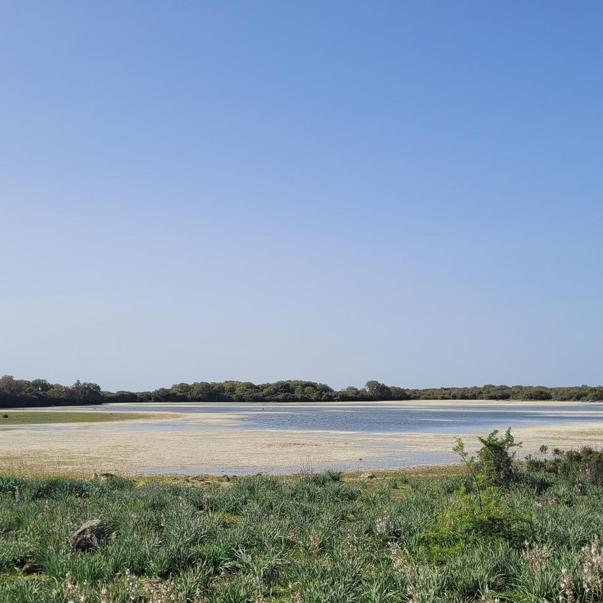
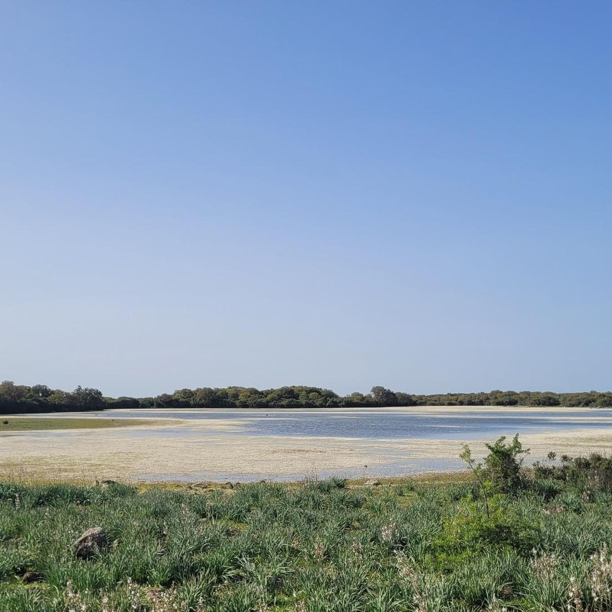
Hiking around Useddus/Usellus offers trails through a landscape characterized by hills, valleys, and the Monte Arci area. The region features varied terrain, including forested sections and open views across the Beda Manca Valley. Hikers can expect paths that traverse both gentle slopes and more undulating ground. The area provides opportunities to explore natural features and local points of interest.
Best hiking trails around Useddus/Usellus
- The most popular hiking route is View of Beda Manca Valley loop from Mitza sa Figu…
Last updated: June 24, 2026
5.0
(9)
23
hikers
8.70km
02:54
440m
440m
Moderate hike. Good fitness required. Easily-accessible paths. Suitable for all skill levels.
1.5
(2)
8
hikers
12.1km
03:30
300m
300m
Moderate hike. Good fitness required. Easily-accessible paths. Suitable for all skill levels.

Sign up for free
16
hikers
Moderate hike. Good fitness required. Easily-accessible paths. Suitable for all skill levels.
3.8
(5)
12
hikers
8.02km
02:36
330m
340m
Moderate hike. Good fitness required. Easily-accessible paths. Suitable for all skill levels.
4.3
(4)
8
hikers
Easy hike. Great for any fitness level. Easily-accessible paths. Suitable for all skill levels.
Get access to more routes and recommendations from other explorers.
Sign up for free
Already have an account?
Our route recommendations are based on thousands of hikes, rides, and runs completed by other people on komoot.
Start today with a free account
Your next adventure awaits.
Login or Signup

Tips from the Community


The view of the Oristano valley from Monte Arci is spectacular
1
0
Volcanic black stone, highest point of Monte Arci
1
0


Summit of Monte Arci - about 820 m
2
0
The highest point of Monte Arci at 812 m above sea level is a large basaltic rock also visible from the S.S. 131. There are various routes to get there, all very hard with gradients of up to 20% in some sections, but within a spectacular wooded setting.
5
0
Starting from the pedemontana road or from the octagonal building, you arrive by following two different routes: through the gates. passing through mitza sa figu and cuccuru ureu, or by the "diagonal" whose entrance is located just ahead of the octagon. In both cases, the route on a fairly regular dirt road presents points with a considerable slope. Once you arrive at the belvedere (about 600 m above sea level) where there is also a service building, you can enjoy a view that embraces the entire Gulf of Oristano
3
0
Frequently Asked Questions
How many hiking trails are available around Useddus/Usellus?
There are over 35 hiking trails in the Useddus/Usellus region, offering a range of options for different skill levels and preferences.
Are there any easy hiking trails suitable for beginners in Useddus/Usellus?
Yes, the region offers 10 easy routes. An excellent option for beginners is the View of Beda Manca Valley – Acquafrida loop from P.ta Genna Spina, which is 2.6 miles (4.2 km) long and takes approximately 1 hour 15 minutes to complete.
What are some longer hiking trails near Useddus/Usellus?
For those seeking a longer adventure, consider the Acquafrida – Monte Arci - Trebina Longa loop from Sennisceddu. This moderate 7.6 miles (12.3 km) path explores the Monte Arci area and typically takes around 3 hours 30 minutes.
Are there any circular walks available in Useddus/Usellus?
Many trails in the region are circular, allowing you to return to your starting point. A popular choice is the View of Beda Manca Valley loop from Mitza sa Figu, a 5.4 miles (8.7 km) route offering expansive views.
What natural attractions can I see along the hiking trails in Useddus/Usellus?
Hikers can discover various natural monuments and viewpoints. Notable attractions include the Monte Arci - Trebina Longa summit, the ancient Cork Oak, and the Rio Is Salonis Waterfall. You can also find the Monte Arci - Beda Manca Viewpoint for panoramic vistas.
Are there any family-friendly hiking options in the Useddus/Usellus area?
For families, routes with easier difficulty grades and shorter distances are recommended. The View of Beda Manca Valley – Acquafrida loop from P.ta Genna Spina is an easy 2.6-mile (4.2 km) trail that could be suitable for a family outing.
What do other hikers enjoy the most about hiking in Useddus/Usellus?
The trails in Useddus/Usellus are highly regarded by the komoot community, with an average rating of 4.4 stars from over 50 reviews. Hikers often praise the varied terrain, from forested sections to open views across the Beda Manca Valley, and the opportunities to explore the Monte Arci area.
Are there any less crowded hiking trails or hidden gems around Useddus/Usellus?
While specific crowd levels vary, exploring some of the less-trafficked moderate trails might offer a quieter experience. The Queen of Monte Arci – Punta Muroni loop from Mitza sa Figu is a moderate 5-mile (8 km) route that provides a different perspective of the Monte Arci region.
What is the best time of year to go hiking in Useddus/Usellus?
Spring and autumn generally offer the most pleasant hiking conditions in Sardinia, including the Useddus/Usellus region, with milder temperatures and lush landscapes. Summers can be hot, making early morning or late afternoon hikes preferable, while winters are typically mild but can bring some rain.
Is there public transport available to reach hiking trailheads near Useddus/Usellus?
Public transport options directly to specific trailheads in rural areas like Useddus/Usellus can be limited. It is often advisable to plan for personal vehicle use or check local bus schedules for connections to the main villages, from where you might need to walk or arrange further transport to reach the starting points of trails.
What kind of terrain can I expect on the hiking trails in Useddus/Usellus?
The terrain around Useddus/Usellus is characterized by hills, valleys, and the Monte Arci area. You can expect varied paths, including forested sections and open ground, with both gentle slopes and more undulating ascents and descents.
Are there any trails suitable for dog walking in Useddus/Usellus?
Many trails in the Useddus/Usellus region are suitable for dogs, provided they are kept on a leash and you adhere to local regulations regarding pets in natural areas. Always ensure your dog is well-behaved and that you carry water for them, especially on longer routes.
Most popular attractions around Useddus/Usellus

Get inspired with the komoot mobile app


Explore more
Browse the best Hikes in other regions.
