The best walks and hikes around Schwendibach
4.6
(2379)
17,884
hikers
825
hikes
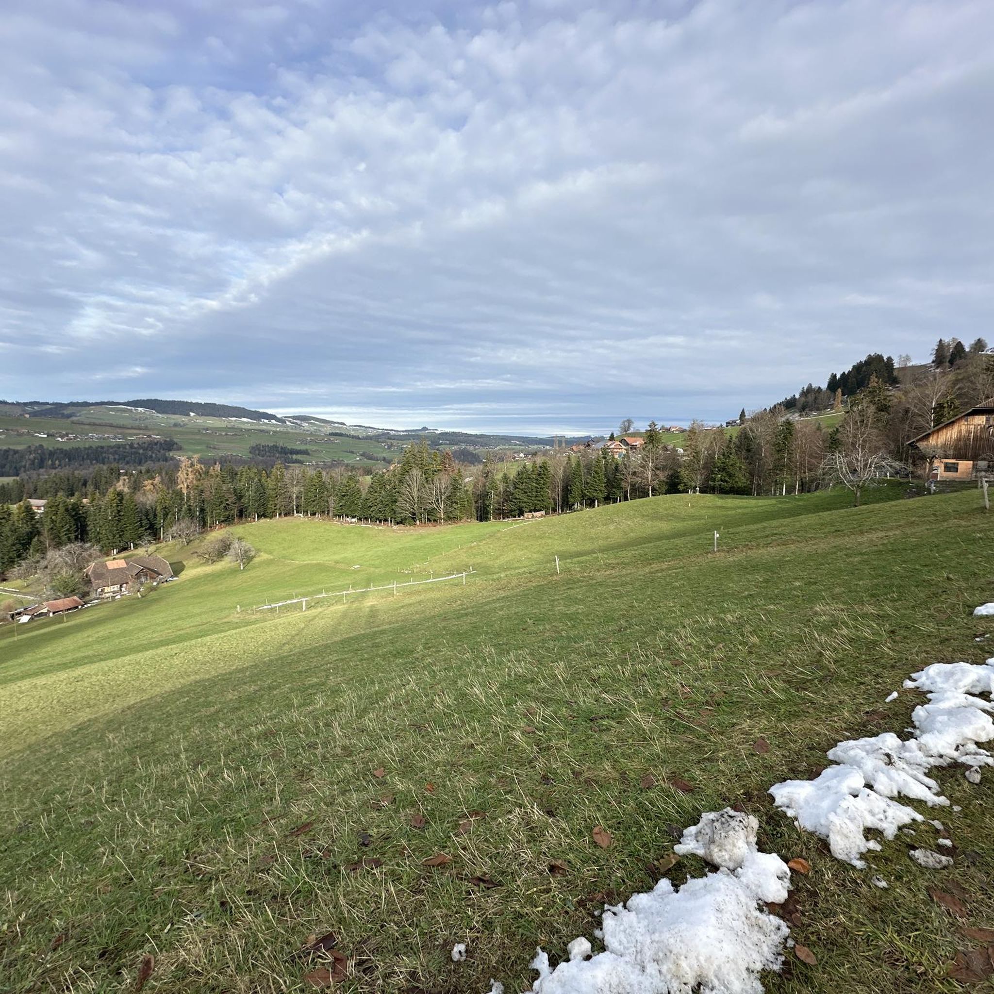
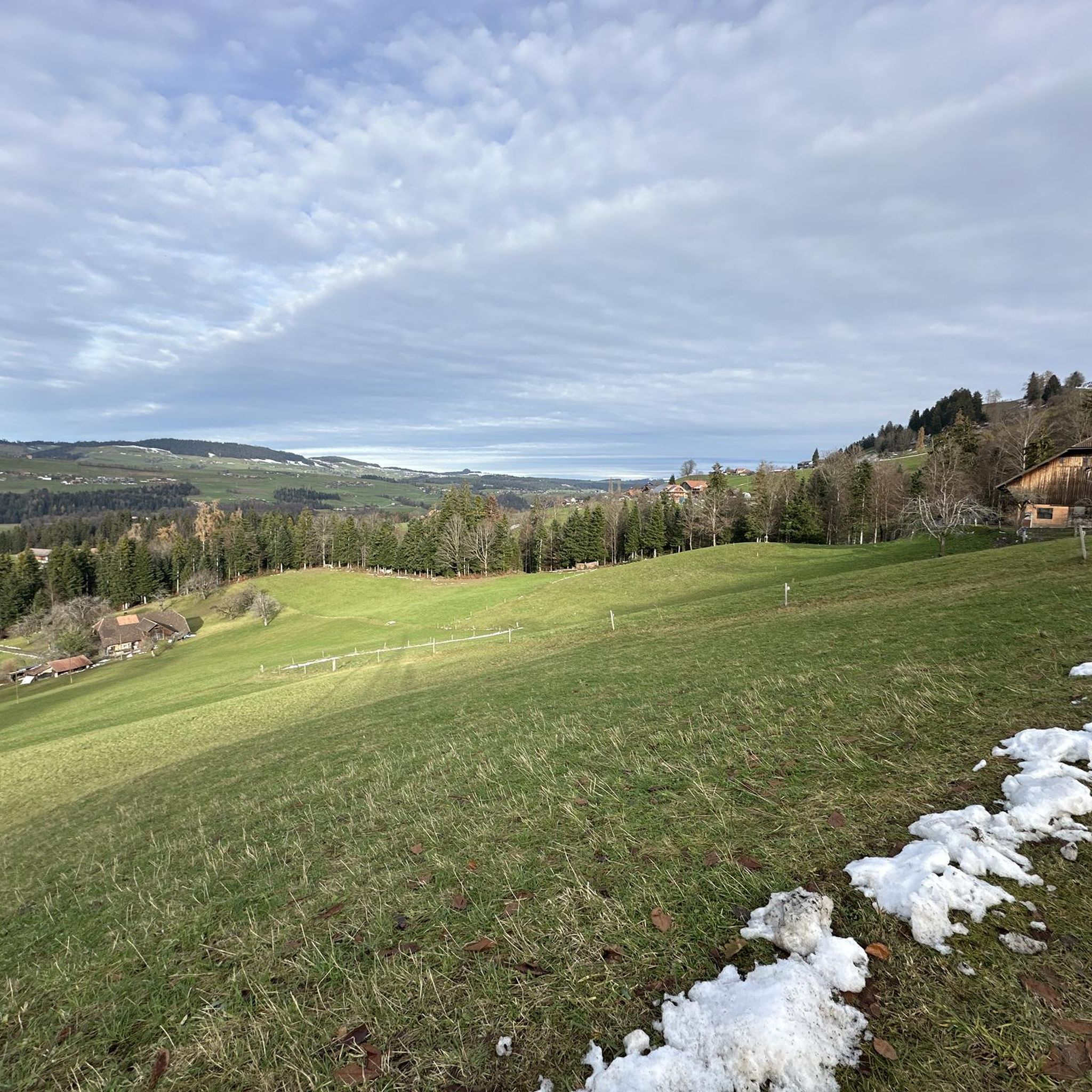
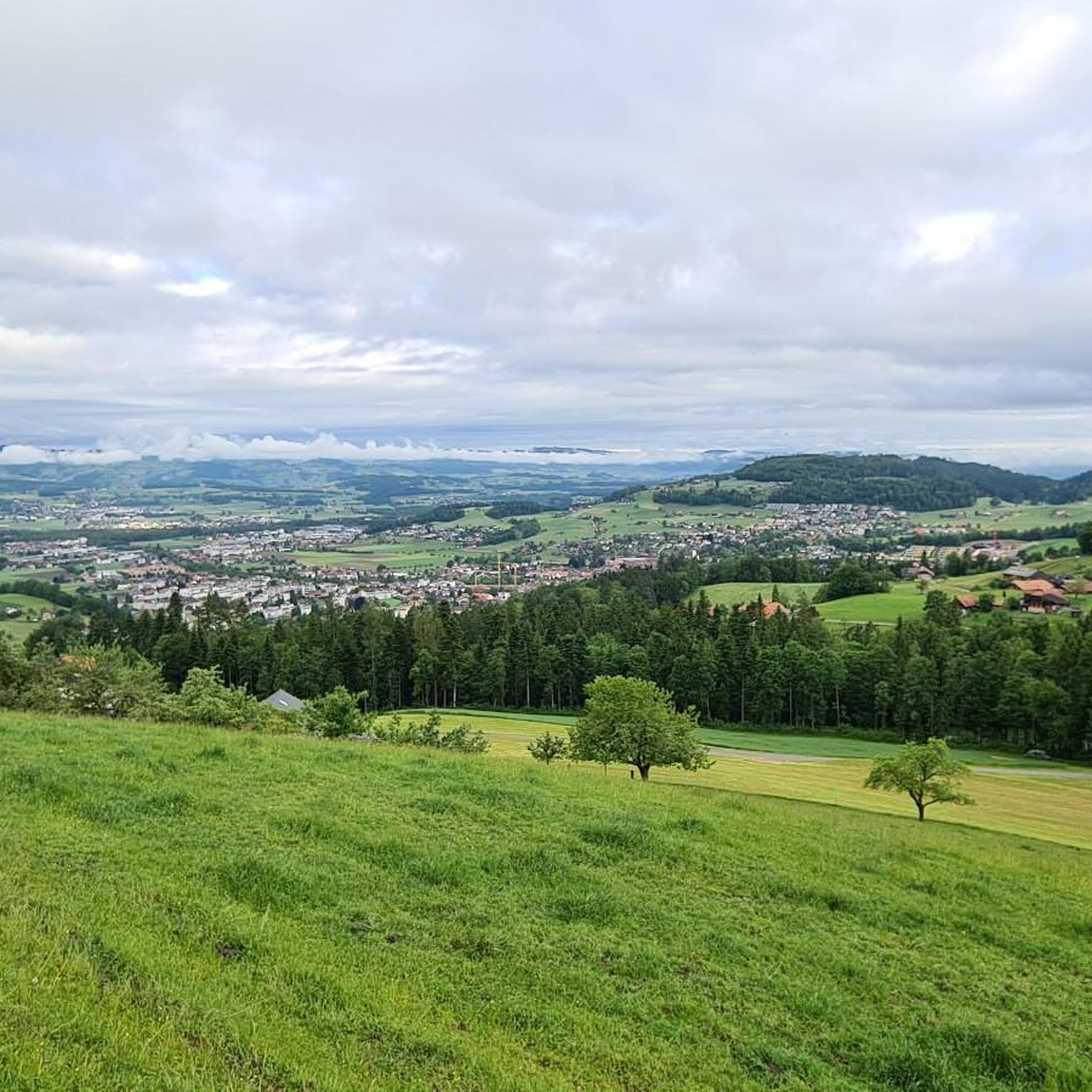
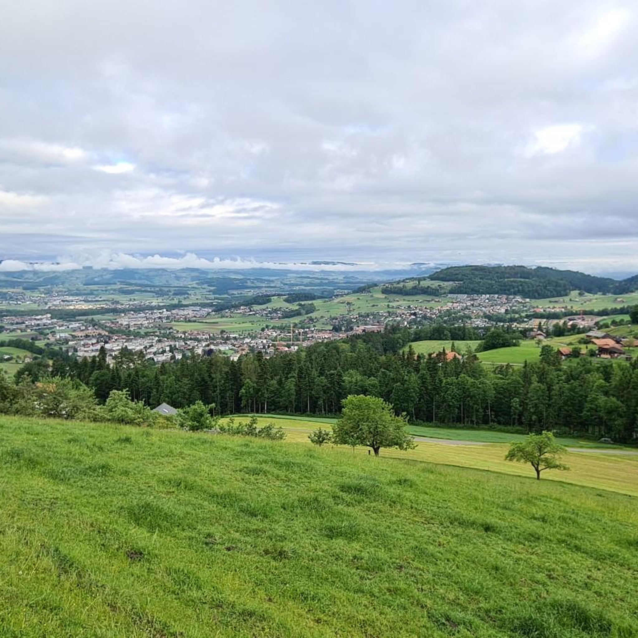
Hiking around Schwendibach offers diverse trails within a picturesque Swiss landscape. The region is characterized by clear views of Lake Thun and the majestic Bernese Alps, providing a variety of terrain for outdoor enthusiasts. Hikers can explore mountainous areas and forests, with paths ranging from easily accessible routes to more challenging options. This area serves as a gateway to numerous well-regarded hiking trails.
Best hiking trails around Schwendibach
- The most popular hiking route is View of Niesen from Egg –…
Last updated: June 27, 2026
4.0
(3)
22
hikers
5.71km
01:47
220m
210m
Easy hike. Great for any fitness level. Easily-accessible paths. Suitable for all skill levels.
5.0
(6)
23
hikers
Moderate hike. Good fitness required. Easily-accessible paths. Suitable for all skill levels.

Sign up for free
5.0
(2)
18
hikers
Moderate hike. Good fitness required. Easily-accessible paths. Suitable for all skill levels.
5.0
(1)
13
hikers
3.69km
01:09
130m
130m
Easy hike. Great for any fitness level. Easily-accessible paths. Suitable for all skill levels.
5.0
(2)
15
hikers
Easy hike. Great for any fitness level. Easily-accessible paths. Suitable for all skill levels.
Get access to more routes and recommendations from other explorers.
Sign up for free
Already have an account?
Our route recommendations are based on thousands of hikes, rides, and runs completed by other people on komoot.
Start today with a free account
Your next adventure awaits.
Login or Signup
Tips from the Community

It looked very nice from the outside, and there were already plants ready to be planted at the beginning of March.
0
0

A walk from Thun's old town to where the Aare meets the Lake Thun rewrds you with fantastic views of the river, the lake and the peaks of the Bernese Oberland. From here you can also admire the impressive Schadau Castle.
1
0


Nice view of Thun and the lake
0
0

Fantastic panoramic view of the Alps and Lake Thun
0
0

In the morning it is very nice to go jogging here. You only meet like-minded people 🏃
0
0

Beautiful boat trip on the beautiful Lake Thun
0
0

Frequently Asked Questions
How many hiking trails are available around Schwendibach?
There are over 840 hiking trails around Schwendibach, offering a wide range of options for all skill levels. These routes provide diverse experiences, from gentle strolls to more challenging ascents, all set within the beautiful Swiss landscape.
What kind of views can I expect on hikes near Schwendibach?
Hikers in Schwendibach can expect breathtaking views of Lake Thun and the majestic Bernese Alps. Many trails offer stunning perspectives of iconic landmarks like Niesen. For an expansive panorama, consider a hike to the Blueme Observation Tower, which provides an indescribable view stretching as far as the Jura mountains.
Are there any easy hiking trails suitable for beginners or families?
Yes, Schwendibach offers a good selection of easy trails. With over 470 easy routes, you'll find paths suitable for beginners or families. An example is the View of Niesen from Egg – Egg (1172 m) loop from Heiligenschwendi, which is an easy 3.7 km trail with varied terrain.
Where can I find challenging hikes with significant elevation gain?
For those seeking a challenge, Schwendibach has over 30 difficult routes and more than 330 moderate trails with significant elevation changes. These routes demand good sure-footedness and sturdy footwear, rewarding hikers with impressive views and a sense of accomplishment. The region's mountainous areas provide ample opportunity for strenuous climbs.
Are there any circular walks available in Schwendibach?
Yes, many of the trails around Schwendibach are designed as circular routes, allowing you to start and end at the same point. For instance, the View of Niesen from Egg – Egg (1172 m) loop from Homberg is an easy circular trail offering perspectives of Niesen.
What are some natural attractions or landmarks to see while hiking?
Beyond the panoramic views, the region boasts several natural attractions. You can explore gorges like Cholerenschlucht Gorge or Rotache Gorge. There are also waterfalls such as Zulgschwelle, and the confluence of the Zulg and Aare rivers. The Blueme Observation Tower is also a notable man-made landmark offering incredible vistas.
Is it possible to find dog-friendly trails in Schwendibach?
Many trails in the Schwendibach area are suitable for hiking with dogs. The diverse terrain, including forests and open paths, provides a great environment for your canine companion. Always ensure your dog is on a leash where required and respect local wildlife.
What is the best season to go hiking in Schwendibach?
The hiking season in Schwendibach generally extends from spring through autumn, offering pleasant temperatures and vibrant landscapes. Summer provides lush greenery, while autumn brings stunning fall colors. Some lower-elevation paths might be accessible in winter, but higher routes may require specific winter gear or be closed due to snow.
Are there any places to eat or stay near the hiking trails?
While specific cafes or pubs directly on every trail are not guaranteed, the broader region around Schwendibach and nearby towns like Thun offer various dining and accommodation options. You might also find mountain huts such as Läbeshuus Heiligenschwendi or Alp Grön, which can provide refreshments or overnight stays.
What do other hikers say about the trails in Schwendibach?
The hiking trails in Schwendibach are highly rated by the komoot community, with an average score of 4.6 stars from over 2,100 reviews. Hikers frequently praise the stunning views of Lake Thun and the Bernese Alps, the well-maintained paths, and the variety of terrain suitable for different fitness levels.
Can I access the hiking trails using public transport?
Public transport options are available to reach various starting points for hikes around Schwendibach. The Swiss public transport network is efficient, and local buses often connect to trailheads from larger towns like Thun. It's advisable to check local timetables for specific routes.
Are there multi-use trails suitable for other activities like mountain biking?
Yes, some trails in the Schwendibach area are multi-use. For example, the 'Schwendibach Loam Rider' is suitable not only for hiking but also for mountain biking, e-biking, and trail running, catering to a broader range of outdoor enthusiasts.
Most popular routes around Schwendibach
Most popular attractions around Schwendibach

Get inspired with the komoot mobile app


Explore more
Browse the best Hikes in other regions.
