The best walks and hikes around Schwerbach
4.5
(4991)
15,670
hikers
438
hikes
Hiking around Schwerbach, a municipality in the central Hunsrück region of Rhineland-Palatinate, Germany, offers diverse landscapes for outdoor activities. The area is characterized by forested hills and valleys, forming part of the Hunsrück low mountain range. Notable natural features include the Wacholderheide Conservation Area, situated between Schwerbach village and the Kyrbach valley. This region provides a scenic backdrop for various hiking pursuits.
Best hiking trails around Schwerbach
- The most popular hiking route is Berndsmühle – Gösenroth Foot Mill loop from…
Last updated: October 4, 2026
4.4
(5)
13
hikers
9.43km
02:33
130m
130m
Moderate hike. Good fitness required. Easily-accessible paths. Suitable for all skill levels.
5.0
(3)
13
hikers
6.74km
01:53
130m
130m
Easy hike. Great for any fitness level. Easily-accessible paths. Suitable for all skill levels.

4.3
(6)
10
hikers
19.5km
05:16
250m
250m
Hard hike. Very good fitness required. Easily-accessible paths. Suitable for all skill levels.
5.0
(1)
5
hikers
Easy hike. Great for any fitness level. Easily-accessible paths. Suitable for all skill levels.
3.8
(4)
7
hikers
4.20km
01:08
50m
50m
Easy hike. Great for any fitness level. Easily-accessible paths. Suitable for all skill levels.
Get access to more routes and recommendations from other explorers.
Already have an account?
Our route recommendations are based on thousands of hikes, rides, and runs completed by other people on komoot.
Start today with a free account
Your next adventure awaits.
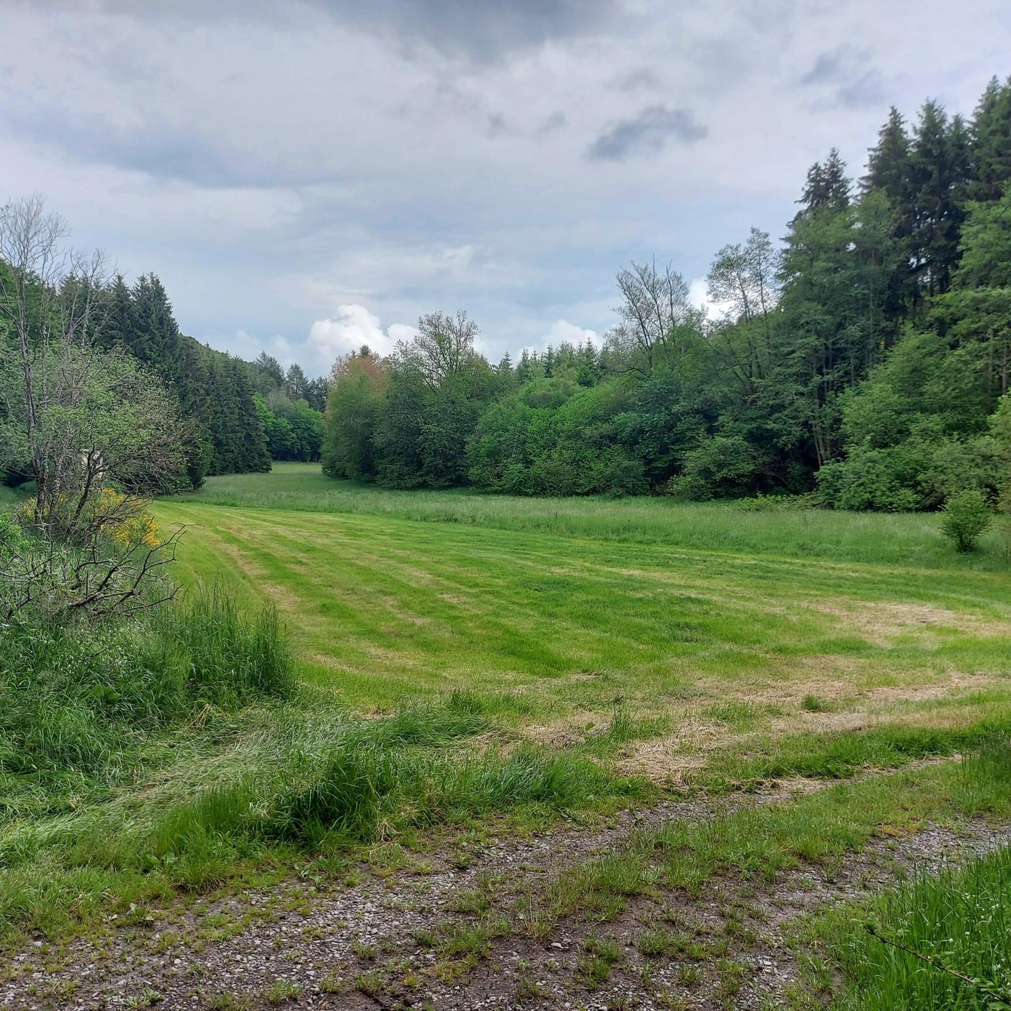
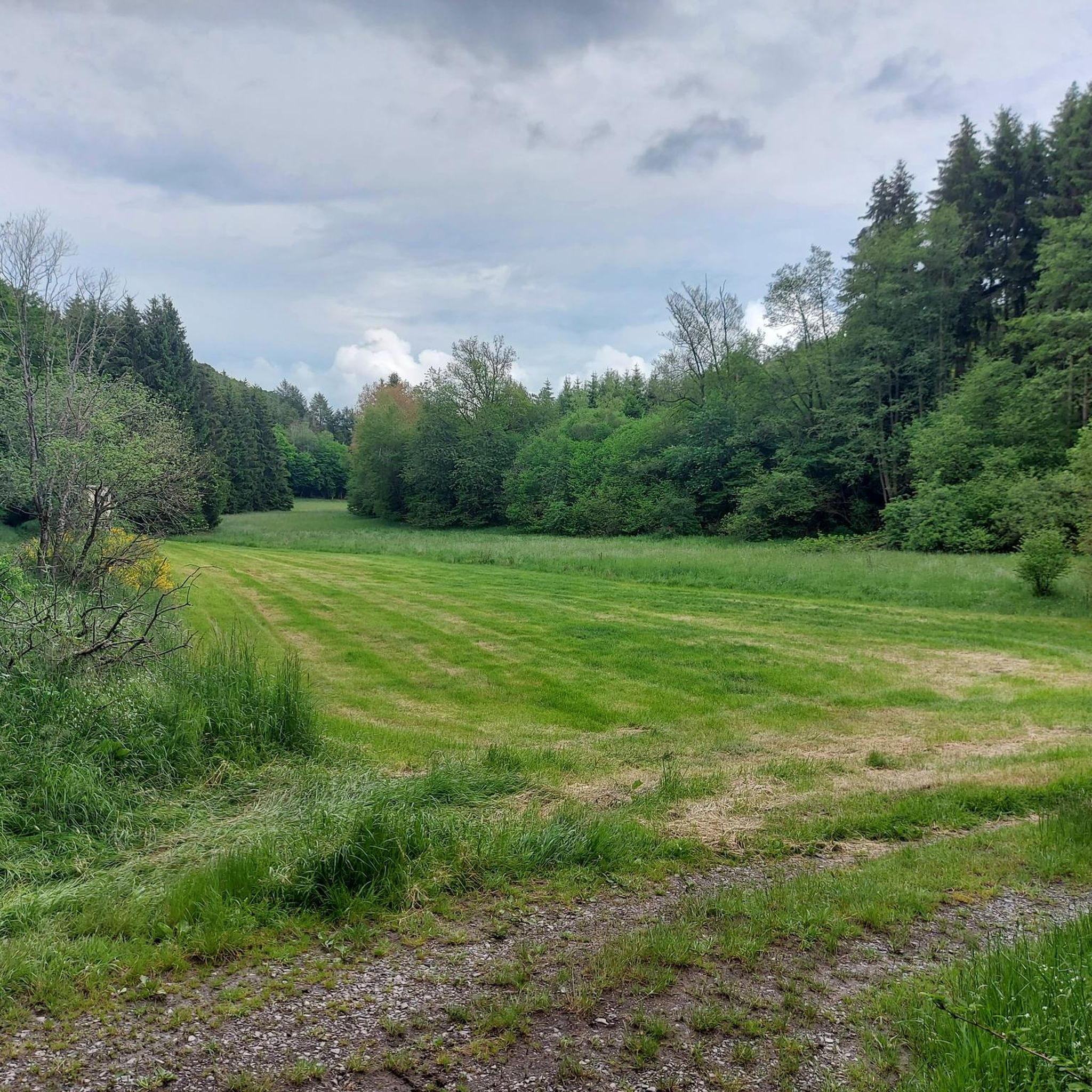
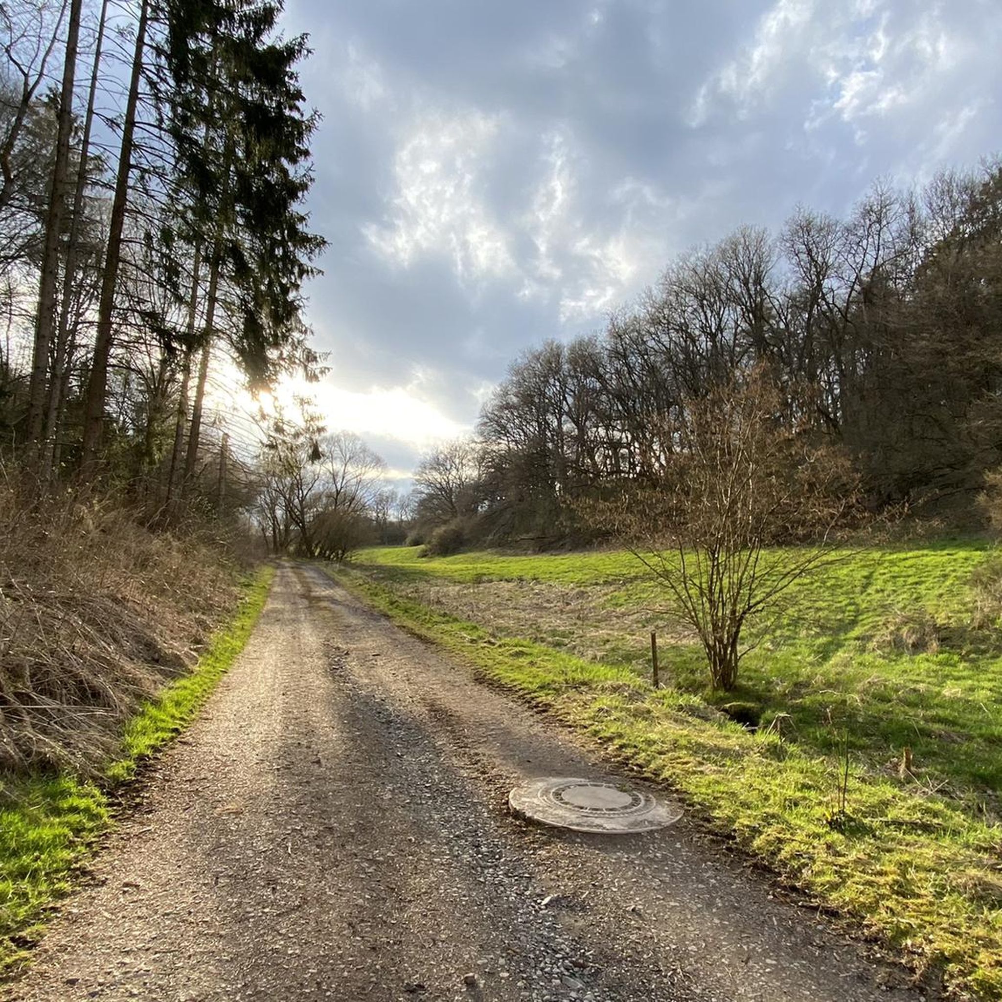
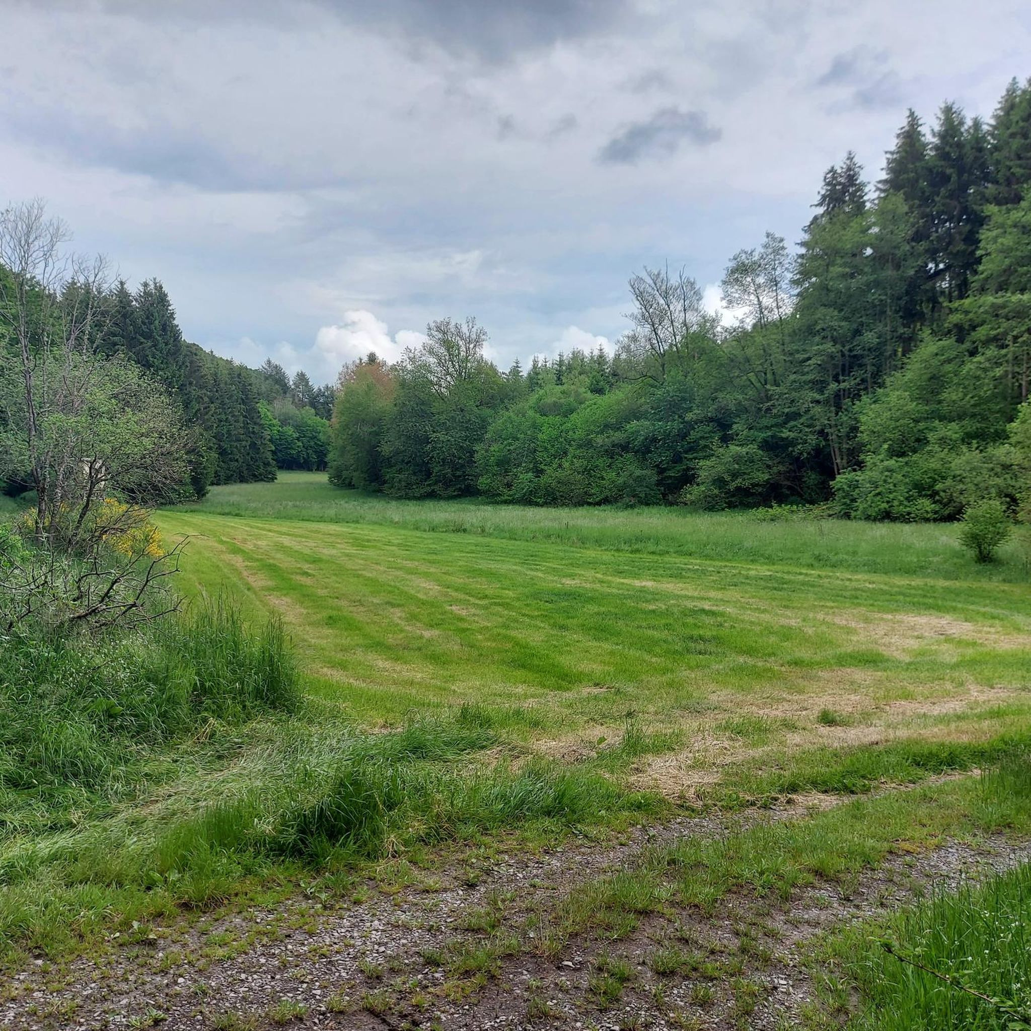

Tips from the Community


📍 On the Kappleifelsen Tour In the middle of the countryside, hidden among the trees, lies this small wooden bridge over a clear stream. A quiet spot that can almost be overlooked – but that's precisely what makes it so special. The water ripples, the bridge creaks gently, and for a moment, time stands still. 💡 Tip: Don't just walk over it – stop for a moment, listen, and look. Especially in changeable weather, this creates a beautiful natural scene with reflections in the water.
0
1
📍 Main point of the Kappleifelsen tour The Kappleifelsen lives up to its name. A striking rocky outcrop with a view – sometimes clear, sometimes obscured by the weather. Today it had it all: changing light, a wall of rain in the distance, a patch of sunshine over the valley. The view is constantly changing – but that's precisely what makes it so special. 💡 Tip: Be sure to linger for a few minutes. Those who are patient will be rewarded with fascinating atmospheres. Don't forget your camera – and please be careful around the edge in wet weather.
0
1
📍 On the Kappleifelsen tour A bench with a sweeping view of the landscape – and today, a true spectacle of sun, rain, and clouds. Sometimes the sky opens for a few minutes, then dark clouds drift across the valley again. Lying here doesn't just see the landscape – but also the changing weather. 💡 Tip: Perfect for a longer break – just lie down, observe, and breathe deeply. Absolutely worth it even in changeable weather. If you're lucky, you might even catch a ray of sunshine.
0
1

It is not least because of places like these that the Kappleifelsen tour is fun.
0
0

Very nice path through the forest
0
0
Frequently Asked Questions
What kind of terrain can I expect on hikes around Schwerbach?
The hiking trails around Schwerbach are primarily characterized by forested hills and valleys, typical of the Hunsrück low mountain range. You'll find a diverse landscape that includes the unique Wacholderheide Conservation Area, situated between Schwerbach village and the Kyrbach valley. The routes offer varied terrain, from gentle paths to more challenging ascents.
Are there easy hiking options suitable for beginners or families in Schwerbach?
Yes, Schwerbach offers many easy hiking options. For instance, the Mouflon Enclosure Hunsrück – View of Rhaunen loop from Rhaunen is an easy 4.2-mile (6.7 km) path that provides views over Rhaunen and passes a mouflon enclosure. Another accessible option is the Protestant Church Gösenroth – Gösenroth Grill Hut loop from Gösenroth, which is 3.8 miles (6.1 km) long. Overall, there are over 230 easy routes in the area.
Are there more challenging hikes for experienced hikers in the Schwerbach region?
For those seeking a more challenging experience, Schwerbach has several difficult routes. An example is the Alex Hut Rest Area – Kappleifelsen Viewpoint loop from Rhaunen, a 12.1-mile (19.5 km) trail leading through forested areas to a viewpoint, typically taking over 5 hours to complete. In total, there are 27 difficult routes available for experienced hikers.
What natural features or landmarks can I see while hiking in Schwerbach?
While hiking in Schwerbach, you can explore the scenic Hunsrück landscape with its forested hills and valleys. A notable natural feature is the Wacholderheide Conservation Area. For specific landmarks, you might encounter the Hellkirch Ruins, the Koppenstein Tower and Ruins, or the Devil's Rock viewpoint. The Gemünden Geological Nature Trail also offers unique insights into the region's geology.
Are there any viewpoints along the hiking trails in Schwerbach?
Yes, several trails offer rewarding viewpoints. The Alex Hut Rest Area – Kappleifelsen Viewpoint loop from Rhaunen specifically leads to the Kappleifelsen Viewpoint. Additionally, the Devil's Rock is another notable viewpoint in the vicinity, offering panoramic views of the surrounding Hunsrück landscape.
Can I bring my dog on the hiking trails in Schwerbach?
Generally, the natural trails in the Hunsrück region are suitable for dogs, but it's always recommended to keep them on a leash, especially in forested areas, near wildlife, or in conservation zones like the Wacholderheide. Always check local signage for specific restrictions or requirements.
Are there many circular hiking routes available in Schwerbach?
Yes, many of the hiking routes around Schwerbach are designed as circular loops, allowing you to start and end at the same point. Examples include the Berndsmühle – Gösenroth Foot Mill loop from Rhaunen and the Hiking loop from Rhaunen. This design makes planning your hike more convenient.
When is the best time of year to go hiking in Schwerbach?
The Hunsrück region, including Schwerbach, is beautiful for hiking throughout much of the year. Spring brings blooming nature, while summer offers lush green forests. Autumn is particularly scenic with vibrant fall foliage. Even winter can be appealing for hiking, especially on clear, crisp days, though some trails might be more challenging due to snow or ice.
Is parking available near the trailheads in Schwerbach?
While specific parking information for every trailhead isn't detailed, it's common for hiking areas in Germany to have designated parking spots near popular trail starting points or in nearby villages like Rhaunen or Gösenroth. Look for signs indicating 'Wanderparkplatz' (hiker's parking) when planning your trip.
How many hiking routes are available in the Schwerbach area?
There are over 450 hiking routes available in the Schwerbach area, catering to various fitness levels and preferences. This includes 231 easy routes, 194 moderate routes, and 27 difficult routes, ensuring a wide range of options for every hiker.
What do hikers say about the trails in Schwerbach?
The trails in Schwerbach are highly rated by the komoot community, with an average score of 4.6 stars from over 4,400 reviews. Hikers often praise the diverse landscapes, the well-maintained paths through forested hills and valleys, and the scenic beauty of the Hunsrück region, including features like the Wacholderheide Conservation Area.
Are there any historical sites or castles to explore near Schwerbach?
Yes, the area around Schwerbach is rich in historical sites. You can visit the Hellkirch Ruins or the impressive Koppenstein Tower and Ruins. Further afield, the Schmidtburg Castle Ruins also offer a glimpse into the region's past.
Most popular routes around Schwerbach
Most popular attractions around Schwerbach

Get inspired with the komoot mobile app


Explore more
Browse the best Hikes in other regions.
