The best MTB trails around Uda/Uta
4.5
(107)
895
riders
13
rides
Mountain bike trails around Uda/Uta offer a diverse landscape for riders, characterized by varied terrain suitable for different skill levels. The region features routes that include significant elevation changes, suggesting hilly or mountainous areas. These trails often traverse natural landscapes, providing opportunities for extended rides through the local environment.
Best mountain bike trails around Uda/Uta
- The most popular mountain bike trail is Climb to Senna e Sa Craba – Is Scillaras Singletrack loop from Cabuderra/Capoterra, a 35.4 miles (56.9…
Last updated: July 7, 2026
5.0
(3)
24
riders
Hard mountain bike ride. Very good fitness required. Suitable for all skill levels.
5.0
(3)
46
riders
83.1km
06:55
1,220m
1,220m
Hard mountain bike ride. Very good fitness required. Advanced riding skills necessary. Some portions of the route may require you to push your bike.

Sign up for free
14
riders
43.8km
03:25
360m
360m
Moderate mountain bike ride. Good fitness required. Advanced riding skills necessary.
8
riders
21.2km
01:06
30m
30m
Easy mountain bike ride. Great for any fitness level. Suitable for all skill levels.
4.3
(4)
5
riders
Moderate mountain bike ride. Good fitness required. Advanced riding skills necessary.
Get access to more routes and recommendations from other explorers.
Sign up for free
Already have an account?
Our route recommendations are based on thousands of hikes, rides, and runs completed by other people on komoot.
Start today with a free account
Your next adventure awaits.
Login or Signup
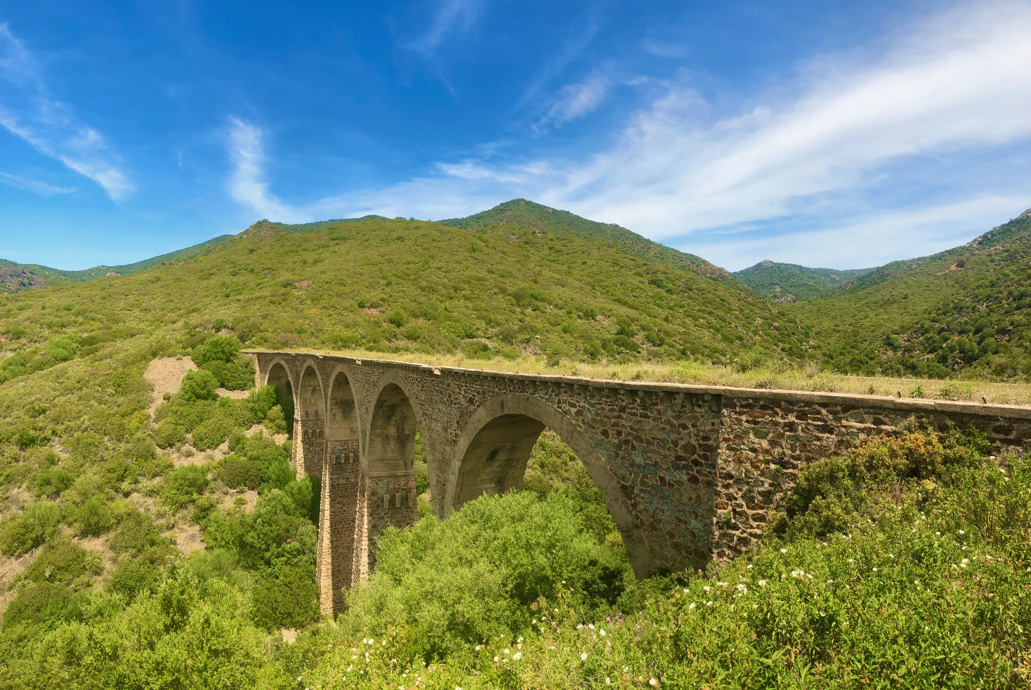
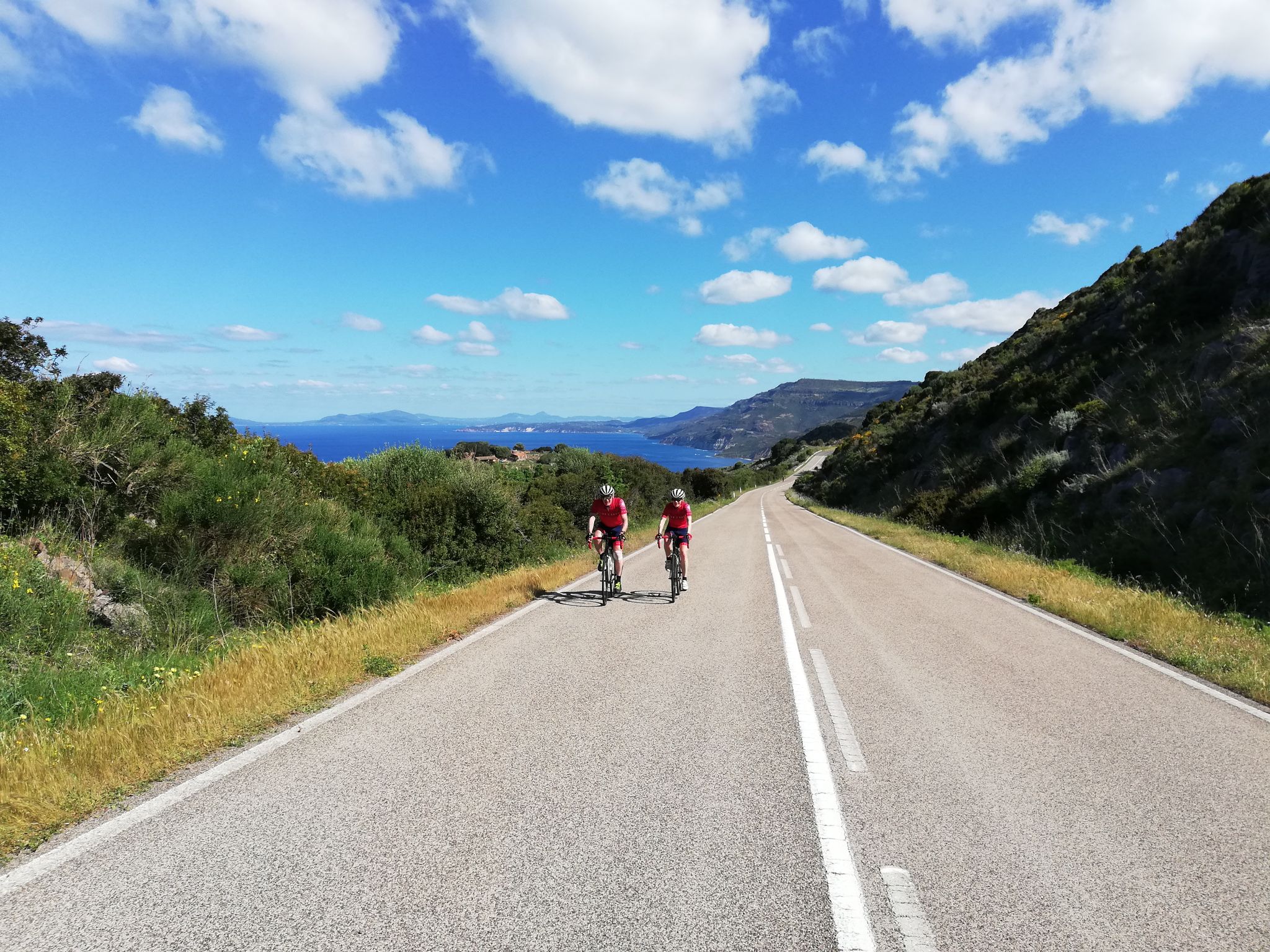
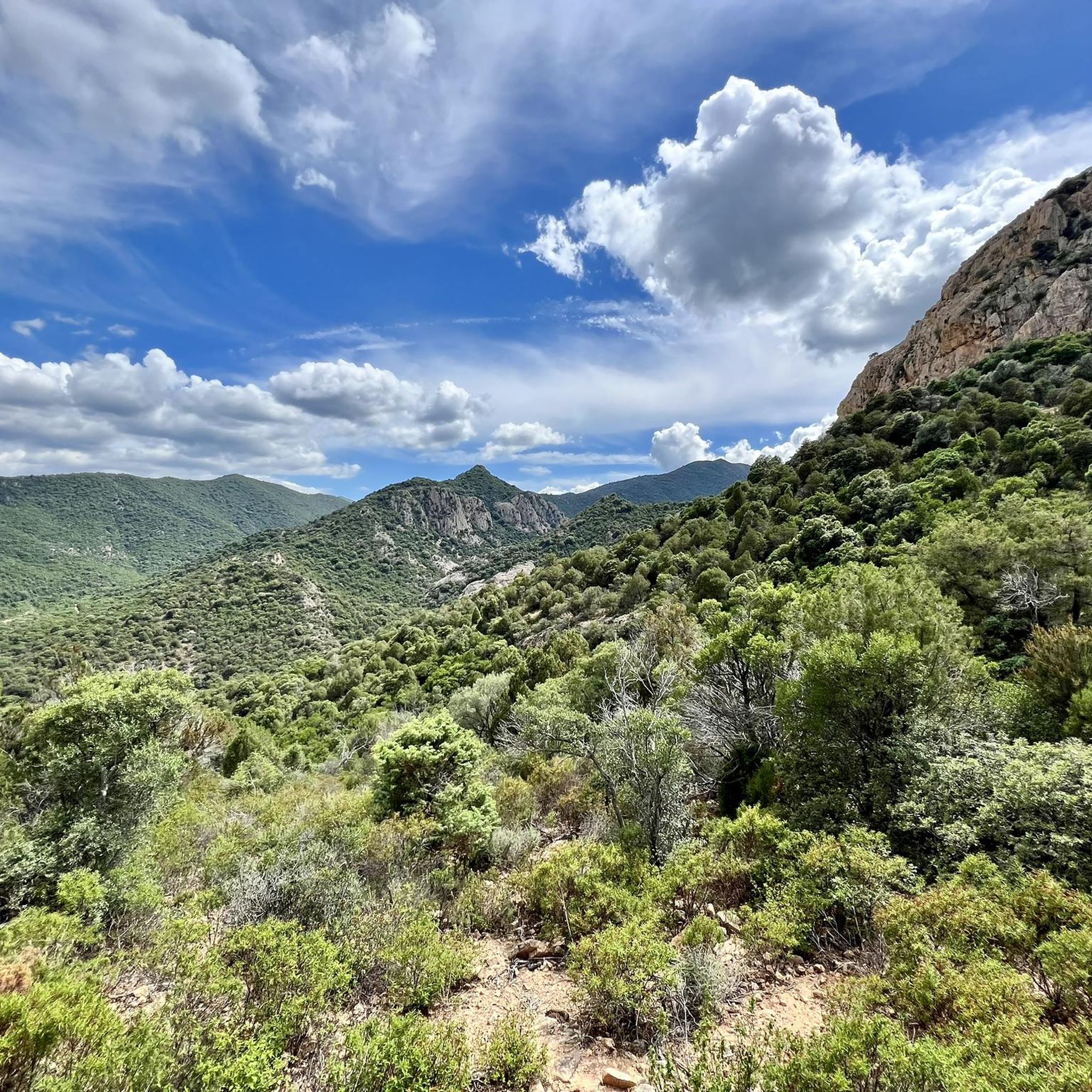
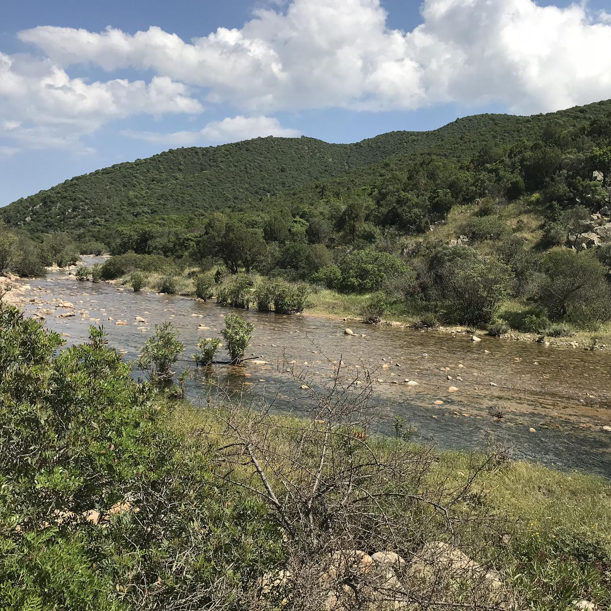
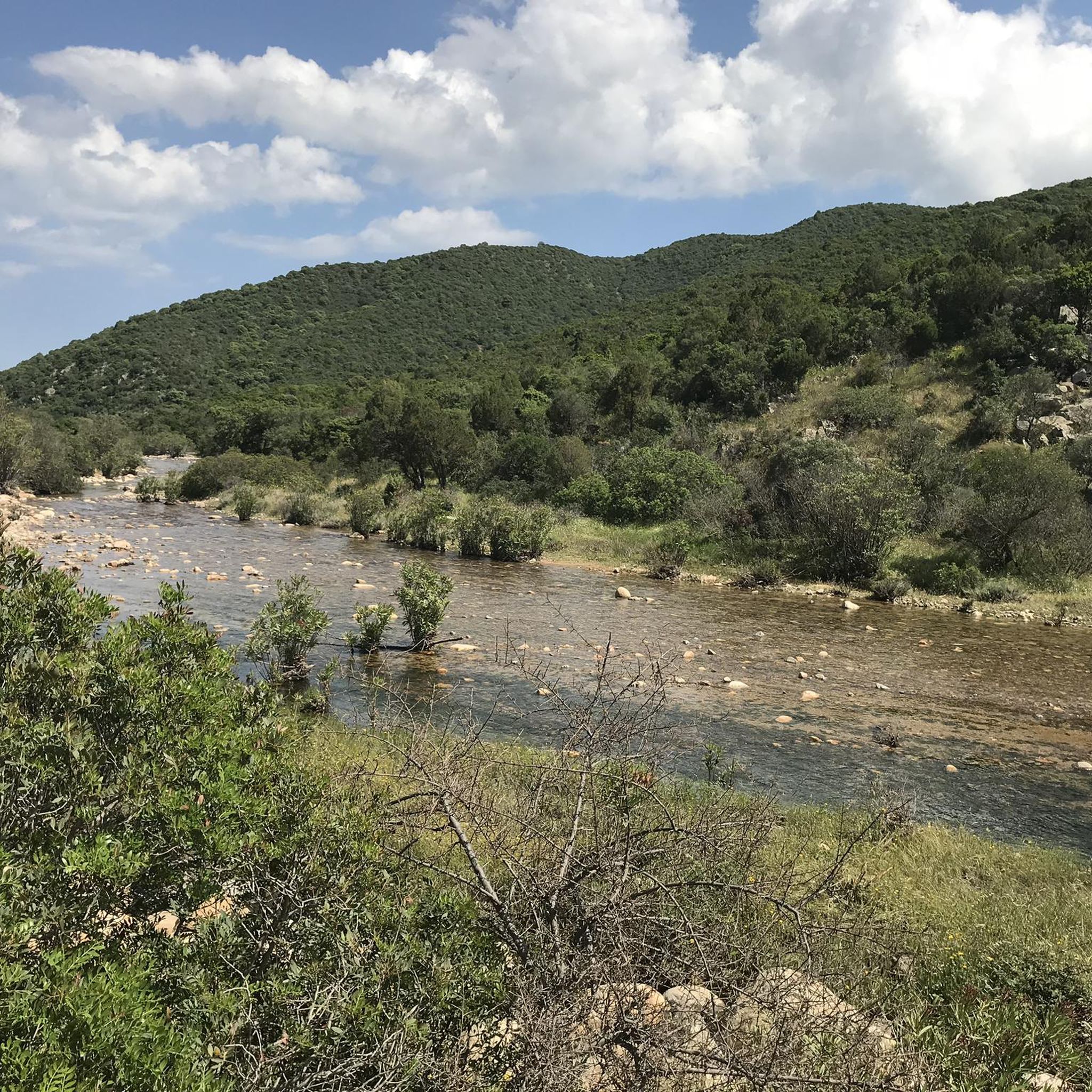

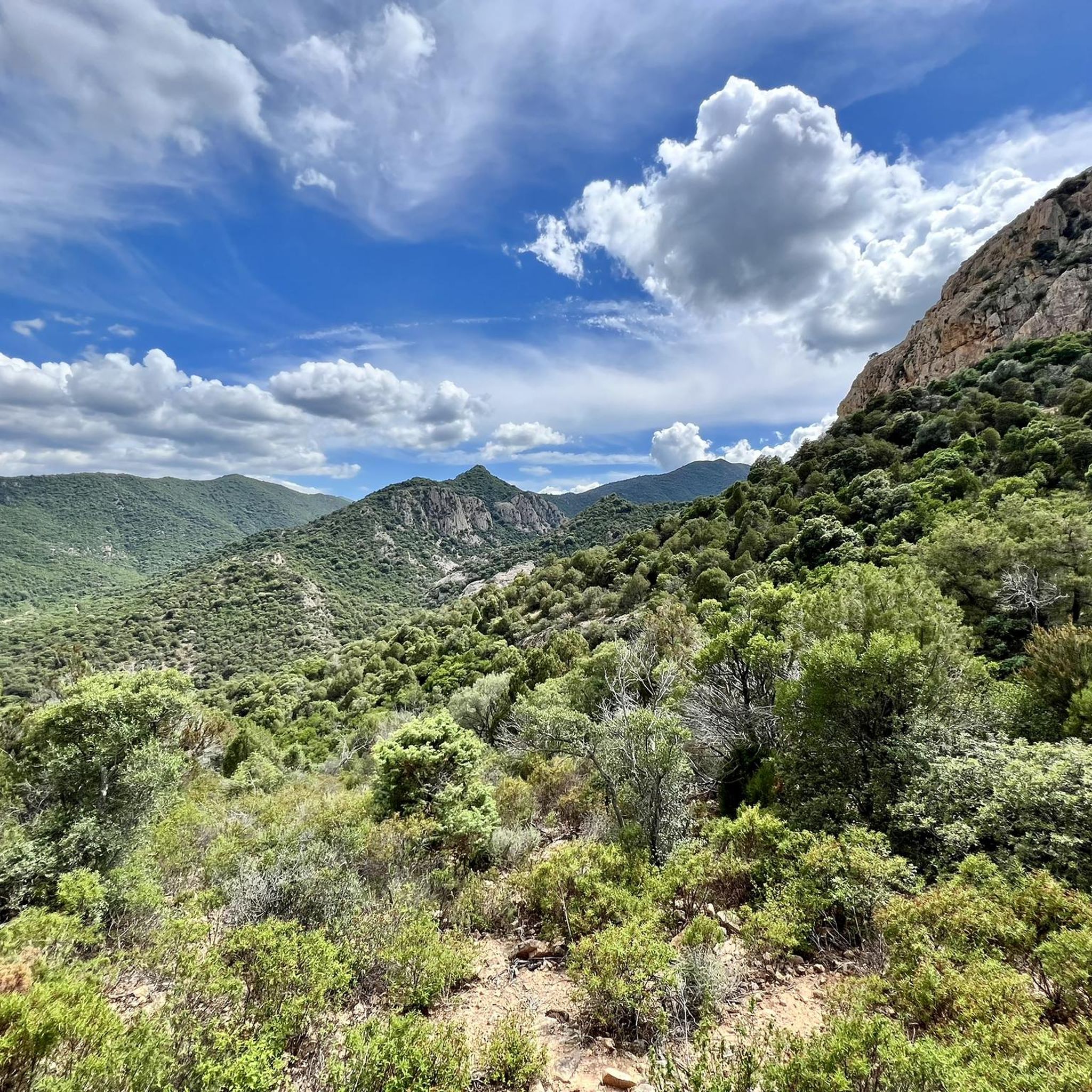


Tips from the Community

According to legend, the Acquafredda Castle was built by the Gherardesca family, Counts of Donoratico, when they acquired southeastern Sardinia. In fact, in 1257, the fortress came into the possession of Ugolino of Donoratico, lord of the Cagliarani territory, immortalized by Dante in Canto 23 of the Inferno. However, the castle is older, as it is already mentioned in a papal bull of 1215. After Ugolino's death (1288), it passed into the possession of Pisa, then to the Aragonese (1324), and subsequently to several feudal lords until it was redeemed by Victor Amadeus III (1785). From the top of a mountain, the castle dominates the territory of Siliqua, four kilometers away. Climbing its slopes, the view sweeps from the green valley of the Cixerri to Cagliari, from the Marmilla to the Iglesias area. At dawn and dusk, their shadows extend across the valley.
4
0

You have a wonderful view of Southern Sardinia
0
0

I followed the entire route along the SP1, but there are several trails in the woods that branch off from the dirt road and then rejoin. The highest point is at the end of the Santadi area, then you descend again to the picnic area. I recommend following the SP1 for the uphill sections and using the trails to descend the mountains.
0
0

Section with many single tracks, after the big flood of 2024 pay attention, many roads are destroyed and in very bad conditions
0
0
On beautiful spring days you might meet Queen Elizabeth 🤣
0
0

A path useful to reach many beautiful trail to do downhill
0
0


Frequently Asked Questions
How many mountain bike trails are available in Uda/Uta?
Uda/Uta offers a wide selection of mountain bike trails, with over 110 routes available. This includes a mix of difficulty levels to suit various riders.
What are the difficulty levels of mountain bike trails in Uda/Uta?
The mountain bike trails in Uda/Uta cater to a range of skill levels. You'll find approximately 25 easy routes, 64 moderate routes, and 22 difficult routes, ensuring options for beginners to experienced riders.
Are there any long-distance mountain bike routes in Uda/Uta?
Yes, Uda/Uta features several extensive mountain bike routes. For example, the Church of Santa Lucia of Uta – Mitza Fanebas Spring loop from Casa Circondariale Cagliari "Ettore Scalas" is a challenging 48.9-mile (78.6 km) path, and the Church of Santa Lucia of Uta – Climb to Senna e Sa Craba loop from Villaspeciosa-Uta covers 50.9 miles (81.9 km).
What do other mountain bikers say about the trails in Uda/Uta?
The mountain bike trails in Uda/Uta are highly regarded by the komoot community, holding an average rating of 4.6 stars from over 150 reviews. Riders often praise the challenging climbs, extensive loops, and varied natural landscapes that define the region's routes.
Are there any circular mountain bike routes in Uda/Uta?
Many of the mountain bike trails in Uda/Uta are designed as loops, offering convenient circular routes. A notable example is the Climb to Senna e Sa Craba – Is Scillaras Singletrack loop from Cabuderra/Capoterra, a 35.4-mile (56.9 km) difficult singletrack route.
What natural features can I expect to see along the mountain bike trails in Uda/Uta?
The trails in Uda/Uta traverse diverse natural landscapes, often featuring significant elevation changes, suggesting hilly or mountainous terrain. You can also find natural monuments like the Oasi del Cervo e della Luna – Monte Arcosu Wildlife Sanctuary and the Mitza Fanebas Spring, which are points of interest along some routes.
Are there any lakes or water bodies near the mountain bike trails in Uda/Uta?
Yes, the region around Uda/Uta features several lakes and water bodies. You might encounter the Santa Gilla Lagoon, Capoterra Pond, or Lake Bau Pressiu, which can be scenic additions to your ride.
Are there any viewpoints along the mountain bike trails in Uda/Uta?
Yes, some routes in Uda/Uta offer rewarding viewpoints. For instance, the Church of Santa Lucia of Uta – Viewpoint loop from Decimomannu is a moderate 30.4-mile (48.9 km) trail specifically designed to include scenic vistas. You can also find a View from the Rocky Outcrop highlight in the area.
What kind of terrain can I expect on mountain bike trails in Uda/Uta?
The mountain bike trails in Uda/Uta are characterized by varied terrain, often including significant elevation changes, indicating hilly or mountainous sections. While specific surface types aren't detailed, the presence of singletrack and natural landscapes suggests a mix of dirt paths, rocky sections, and potentially some gravel.
Are there any moderate mountain bike trails suitable for intermediate riders in Uda/Uta?
Absolutely. Uda/Uta has a substantial number of moderate mountain bike trails, with approximately 64 routes falling into this category. A good option is the Church of Santa Lucia of Uta – Mitza Fanebas Spring loop from Decimomannu, a 38.3-mile (61.6 km) moderate route.
Most popular attractions around Uda/Uta

Get inspired with the komoot mobile app


Explore more
Browse the best MTB trails in other regions.
