The best road cycling routes around Seestermühe
4.4
(557)
5,691
riders
173
rides
Road cycling around Seestermühe is characterized by its flat terrain, extensive marshlands, and proximity to the Elbe River. The region features numerous well-maintained cycle paths, including routes along the Elbe dyke, offering undisturbed rides through natural settings. Seestermühe is integrated into the Elbe Cycle Route, known for its largely flat profile and separate asphalt paths. This landscape provides accessible road cycling routes for various fitness levels.
Best road cycling routes around Seestermühe
- The most popular road cycling route is Krückau…
Last updated: October 5, 2026
31
riders
24.8km
00:56
20m
20m
Easy road ride. Great for any fitness level. Mostly well-paved surfaces and easy to ride.
5.0
(1)
26
riders
22.3km
00:55
20m
20m
Easy road ride. Great for any fitness level. Mostly well-paved surfaces and easy to ride.

4.8
(18)
15
riders
Moderate road ride. Great for any fitness level. Some segments of this route may be unpaved and difficult to ride.
5.0
(1)
12
riders
24.3km
00:57
20m
20m
Easy road ride. Great for any fitness level. Mostly well-paved surfaces and easy to ride.
5.0
(1)
20
riders
Easy road ride. Great for any fitness level. Mostly well-paved surfaces and easy to ride.
Get access to more routes and recommendations from other explorers.
Already have an account?
Our route recommendations are based on thousands of hikes, rides, and runs completed by other people on komoot.
Start today with a free account
Your next adventure awaits.
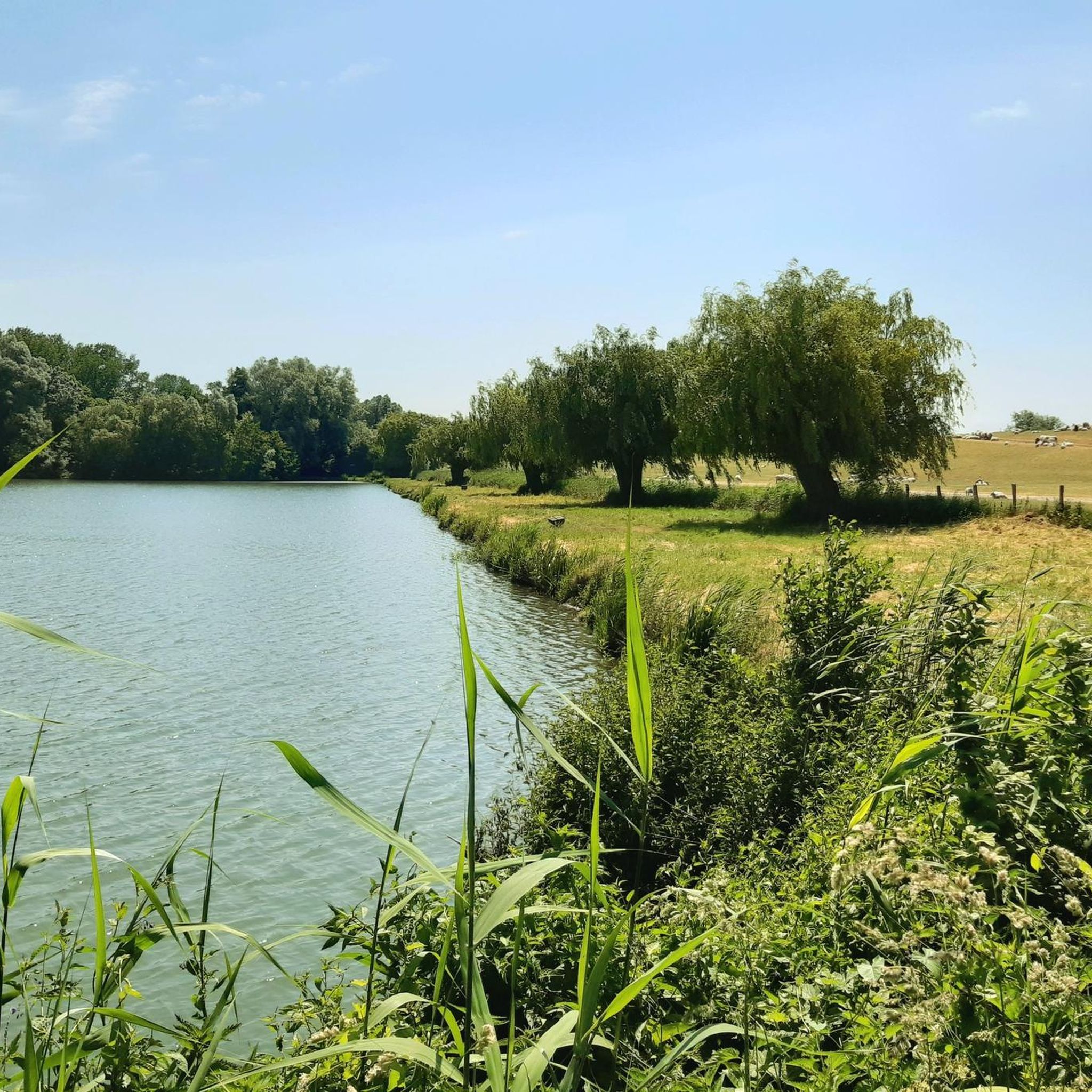
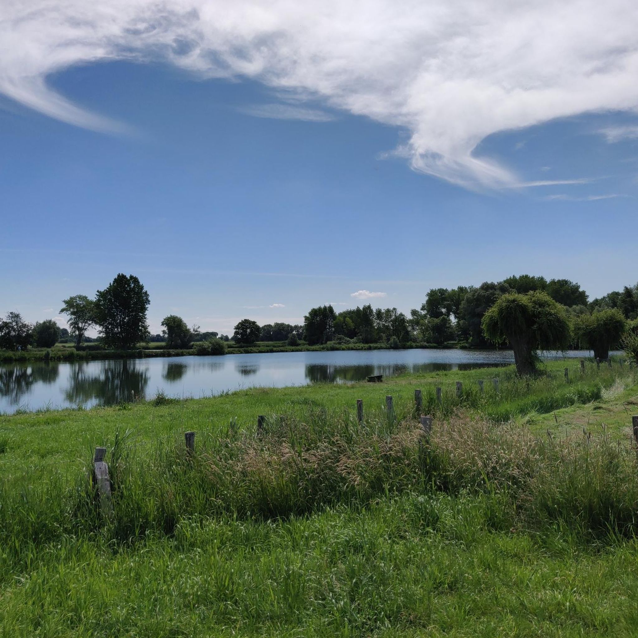
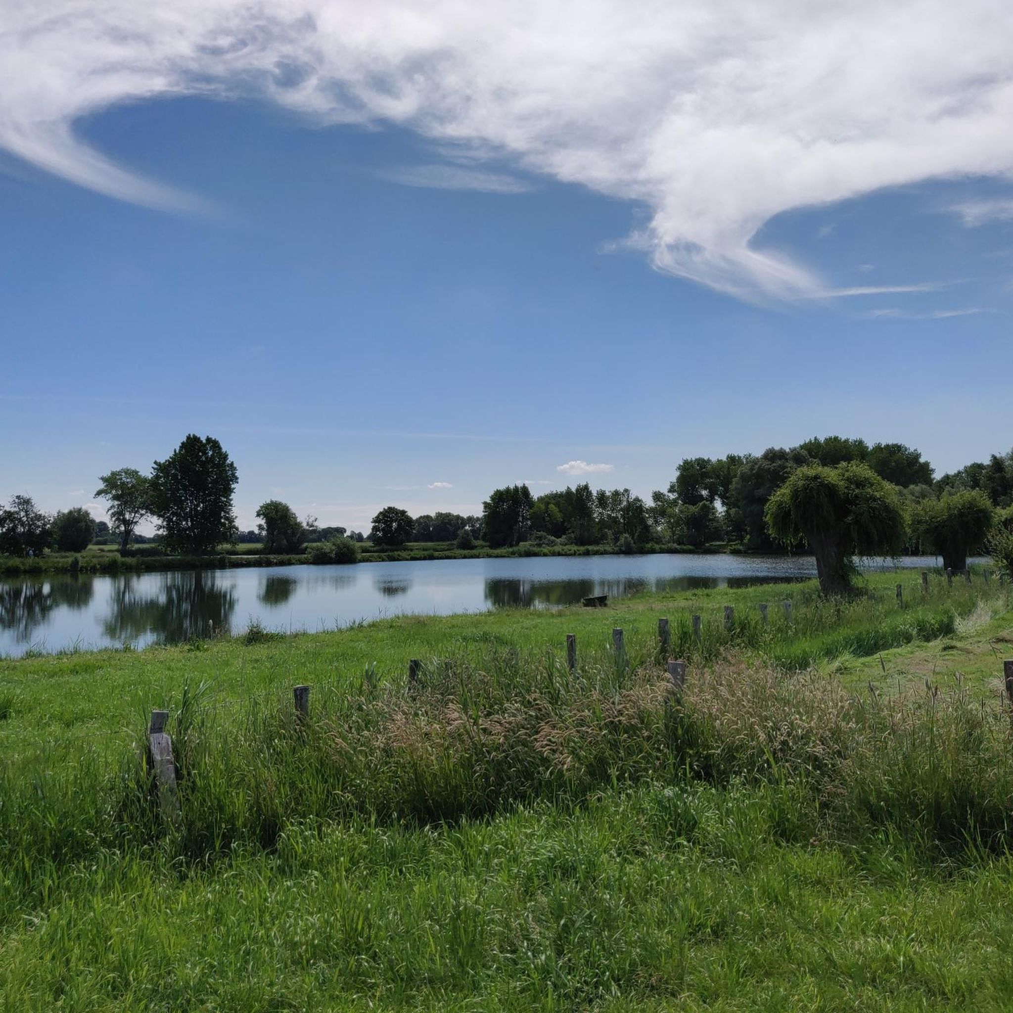
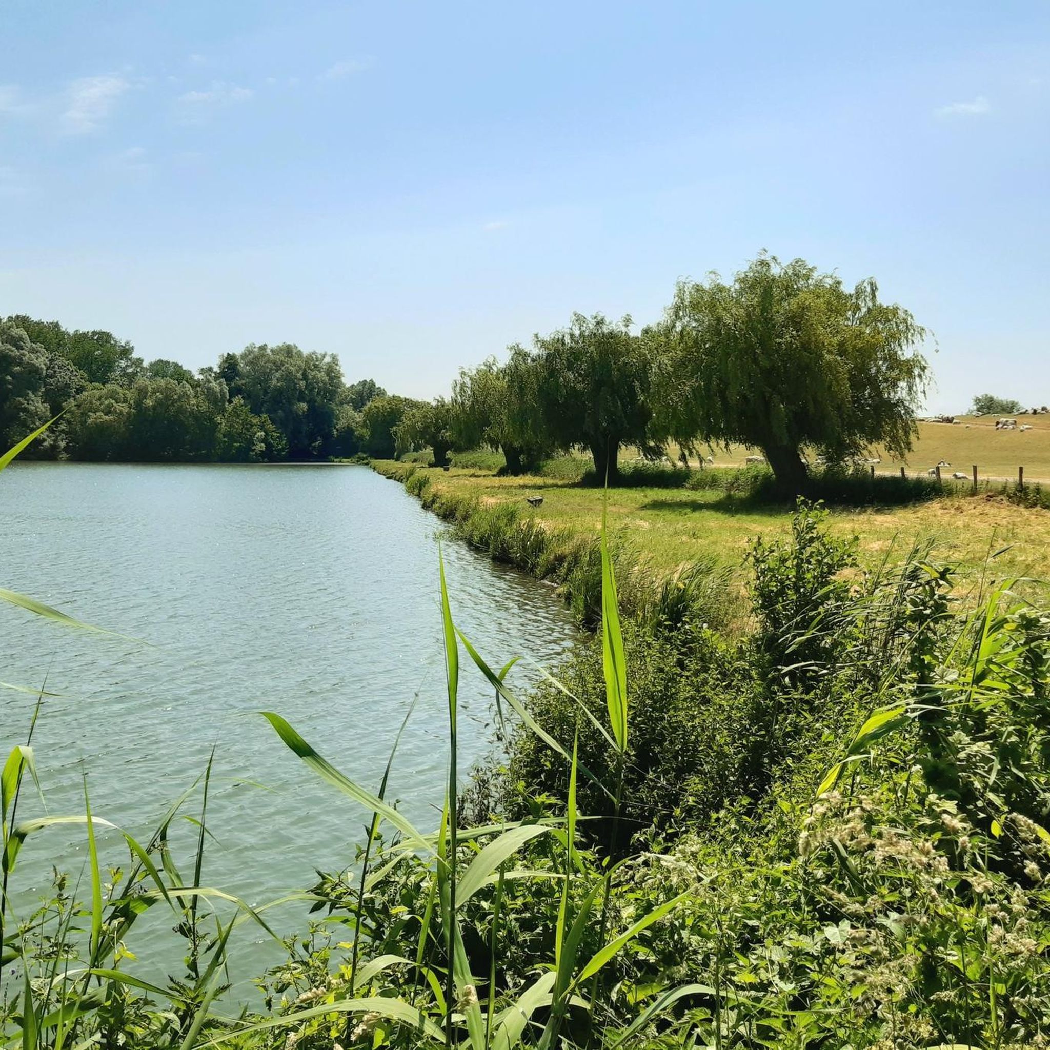
Tips from the Community

The thatched-roof houses are a great destination. I rode past Pagensand five days ago on 23.6.26 on my bike tour and back via Klein Nordende.
0
0

A great quiet cycling route. The trees along the path provide great shady areas on hot summer days. A tour is recommended.
2
0
A great bike and hiking trail runs along here amidst beautiful nature.
2
1
A great cycling and hiking route leads along here in the midst of beautiful nature 💚 highly recommended.
3
0
The cycle path between Assel and Bützfleht is recommended and easy to cycle on.
4
0
Assel St. Martin's Parish Assel, in the Kehdingen region, lies southeast of Drochtersen, directly on the old Elbe dike line. Along with Kehdingen, it came under the rule of the Archbishopric of Bremen in 1236, then under Swedish rule in the Peace of Westphalia (1648), under Danish rule in 1712, and under the Electorate of Hanover in 1715. Since 1972, Assel has been a district of the municipality of Drochtersen. The church, first mentioned in 1124, is, along with the church in Hamelwörden, one of the oldest in the Kehdingen region.
5
0
Local and Church History Village in the Kehdingen region, southeast of Drochtersen, situated directly on the old Elbe dike line. Along with Kehdingen, it came under the rule of the Archbishopric of Bremen in 1236, then under Sweden in the Peace of Westphalia (1648), under Denmark in 1712, and under the Electorate of Hanover in 1715. – Since 1972, it has been a district of the municipality of Drochtersen. The church, first mentioned in 1124, is, along with the church in Hamelwörden, the oldest in the Kehdingen region. In 1233, it was a parish church under the jurisdiction of the Bremen Cathedral provost, who also held the right of collation. In 1350, it is mentioned as parrochia Asele […] in terra Kedingie.2 In 1400, Pope Boniface IX decreed its incorporation into Zeven Abbey,3 against which the inhabitants of Assel successfully resisted. Besides the high altar, the church had four side altars, each with its own vicarage. Pre-Reformation clergy included Borchard, parish priest in Asvlete (Assel).
5
0
Frequently Asked Questions
How many road cycling routes are available around Seestermühe?
There are over 170 road cycling routes around Seestermühe, catering to various skill levels. This includes 70 easy routes, 106 moderate routes, and a few more challenging options for experienced cyclists.
What is the terrain like for road cycling in Seestermühe?
The region around Seestermühe is predominantly flat, characterized by extensive marshlands and routes along the Elbe River dyke. This makes it ideal for road cycling, with many well-maintained cycle paths and quiet side roads offering undisturbed rides. The elevation changes are minimal, making routes accessible for most fitness levels.
When is the best time of year for road cycling in Seestermühe?
The best seasons for road cycling in Seestermühe are spring and summer, when the natural surroundings are vibrant and the climate is mild. Autumn also offers a beautiful backdrop with changing foliage. During these times, you'll find the most pleasant conditions for exploring the region's cycle paths.
Are there any family-friendly road cycling routes in Seestermühe?
Yes, the largely flat terrain and well-maintained paths, especially those integrated into the Elbe Cycle Route, make many routes suitable for families and beginners. For example, the Krückau Sluice Bridge – Paved Path on the Levee loop from Seestermühe is an easy 25 km route that follows a paved path along the levee, perfect for a relaxed family outing.
What can I see along the road cycling routes in Seestermühe?
While cycling, you can explore diverse natural features and attractions. The region is known for the Himmelsmoor nature reserve, home to unique flora and fauna. You can also cycle along the Elbe River, which offers a maritime character. For specific natural highlights, consider visiting the Elbdeich Nature Reserve and Riverside Path or the Haseldorfer Binnenelbe and Elbe Foreland Nature Reserve.
Are there any historical or cultural attractions near the cycling routes?
Yes, beyond the natural beauty, you can visit nearby historical sites. Stade Old Town is a highlight, featuring well-preserved historic houses, five ports, and the Schwedenspeicher museum. The Old Harbor and Fish Market Stade showcase restored 17th-century townhouses. Kollmar Harbour Beach also offers a charming small-town ambiance with a beach and port along the Elbe.
Are there any long-distance cycling routes that pass through Seestermühe?
Seestermühe is integrated into several renowned long-distance cycling paths. The most notable is the Elbe Cycle Route (Elberadweg), known for its largely flat profile. Additionally, the Pilgrim route (D-Route 7) and the North Sea Coast Cycle Route (D-Route 1) also pass through the area, offering extensive touring opportunities.
What do other road cyclists enjoy most about road cycling in Seestermühe?
The area is highly rated by the komoot community, with an average score of 4.5 stars from over 485 reviews. Cyclists often praise the flat, well-maintained paths along the Elbe dyke and through the marshlands, which provide peaceful rides away from traffic. The scenic views and accessibility for various skill levels are also frequently highlighted.
Are there circular road cycling routes available in Seestermühe?
Yes, many of the road cycling routes around Seestermühe are designed as loops, allowing you to start and end in the same location. Examples include the Glückstadt Harbor – Glückstadt Harbor loop from Kollmar, which explores the scenic harbor area, and the Asselersand loop from Bützfleth, leading through a natural area.
Where can I find parking for road cycling in Seestermühe?
While specific parking areas for each route are not always listed, many starting points for routes in and around Seestermühe, especially in towns like Kollmar or near popular attractions, offer public parking facilities. It's advisable to check local signage upon arrival for the most current parking information.
Is public transport available to reach the cycling routes in Seestermühe?
Seestermühe and its surrounding towns are generally accessible by public transport, though options may vary. Regional train lines and bus services connect the area, and some services may allow bikes, especially outside of peak hours. It's recommended to check the specific public transport provider's website for their bike carriage policies and schedules before planning your trip.
Are there places to stop for refreshments or accommodation along the routes?
Yes, the region offers various cafes and pubs where you can pause and refuel during your ride. Towns like Kollmar and Glückstadt, as well as smaller villages, have establishments catering to cyclists. For longer stays, accommodation options ranging from guesthouses to hotels are available in the surrounding areas, particularly in larger towns like Stade.
Are there any moderate or challenging road cycling routes for experienced cyclists?
While Seestermühe is known for its flat terrain, there are moderate routes that offer longer distances or slightly more varied landscapes. For instance, the Stadermoor Agricultural Path – Himmelpforten–Mittelsdorf Road loop from Assel is a moderate 39 km route. There are also a few difficult routes available for those seeking a greater challenge, often involving longer distances rather than significant elevation.
Most popular routes around Seestermühe
Most popular attractions around Seestermühe

Get inspired with the komoot mobile app


Explore more
Browse the best Road cycling routes in other regions.
