The best running trails around Miagliano
4.5
(98)
6,261
runners
325
runs
Jogging around Miagliano offers a diverse landscape for runners. The region is characterized by its varied terrain, featuring significant elevation changes that lead to panoramic views. Running routes often traverse valleys and ascend into hilly areas, providing both challenging climbs and more moderate sections. The area's natural composition includes forested paths and open stretches, suitable for different running preferences.
Best jogging routes around Miagliano
- The most popular jogging route is Summit Cross of Monte Casto – Piana del Ponte Hut loop from Miagliano, a 25.4 miles (40.9 km) trail that takes about 6 hours to complete. This difficult route features substantial elevation gain, leading to high points with expansive views.
- Another top favourite among local runners is Running loop from Andorno Micca, a moderate 4.3 miles (6.9 km) path. This route offers a mix of terrain with moderate elevation, suitable for a steady run.
- Local runners also love the View of Valle Cervo – Belvedere del Malatrà loop from Miagliano, a 15.3 miles (24.7 km) trail leading through varied landscapes, often completed in about 3 hours 27 minutes.
- Jogging around Miagliano is defined by its hilly terrain, forested sections, and scenic viewpoints, with routes available for easy jogging as well as more challenging long-distance running.
- The routes in Miagliano are highly rated by the komoot community with an average score of 4.4 stars from over 60 reviews. More than 5000 runners have used komoot to explore Miagliano's varied terrain.
Last updated: October 8, 2026
5.0
(1)
260
runners
14.9km
02:08
600m
600m
Hard run. Very good fitness required. Sure-footedness, sturdy shoes and alpine experience required.
5.0
(1)
186
runners
40.9km
05:55
1,660m
1,660m
Hard run. Very good fitness required. Sure-footedness, sturdy shoes and alpine experience required.

5.0
(1)
44
runners
6.88km
00:54
220m
220m
Moderate run. Good fitness required. Mostly paved surfaces. Suitable for all skill levels.
5.0
(1)
47
runners
28.8km
04:11
1,300m
1,300m
Hard run. Very good fitness required. Mostly paved surfaces. Suitable for all skill levels.
2.0
(1)
27
runners
23.0km
03:38
1,080m
1,080m
Hard run. Very good fitness required. Sure-footedness, sturdy shoes and alpine experience required.
Get access to more routes and recommendations from other explorers.
Already have an account?
Our route recommendations are based on thousands of hikes, rides, and runs completed by other people on komoot.
Start today with a free account
Your next adventure awaits.



Tips from the Community

small ford on the Luchiama
0
0

Summit with green meadows and the typical Black Madonna statuette of Oropa. The classic loop of Monte Cucco goes up one side and down the other.
0
0

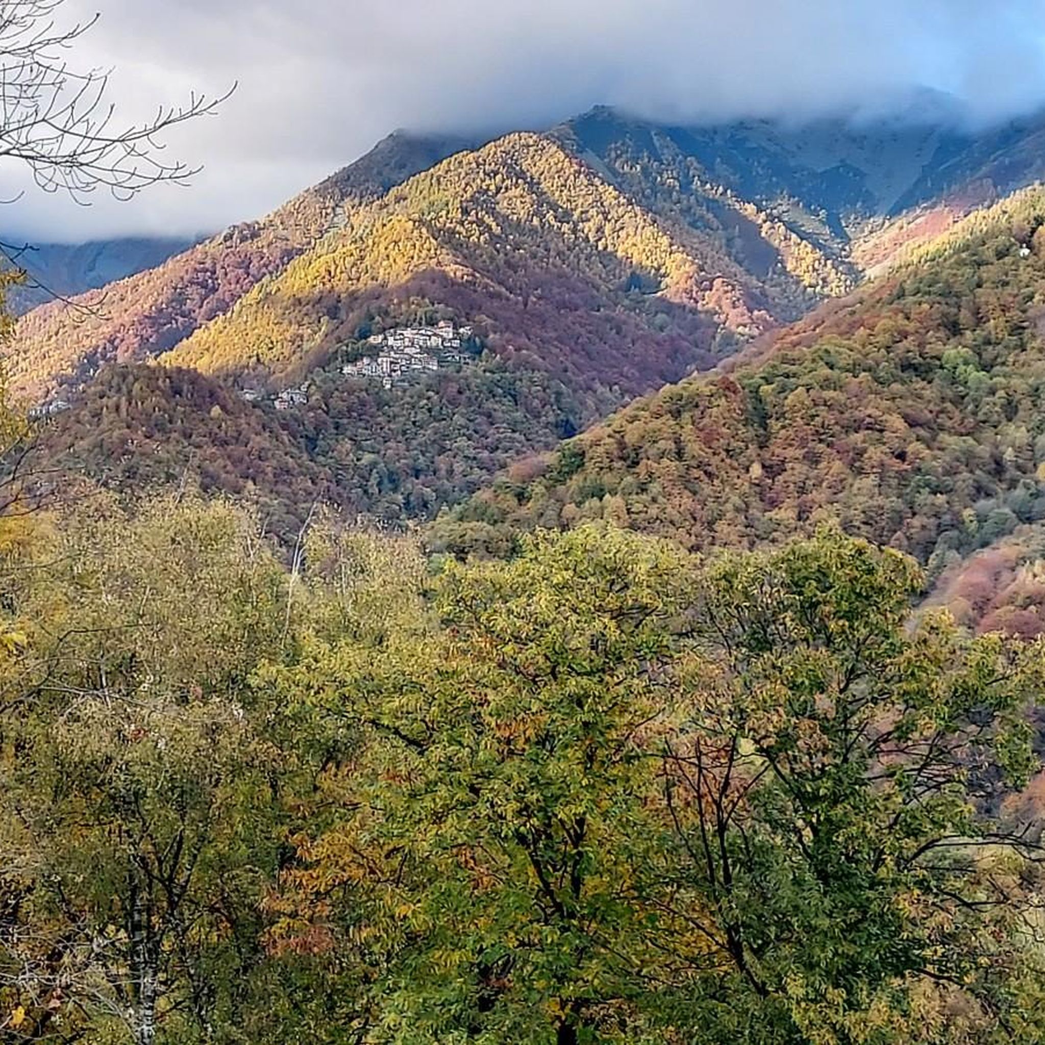
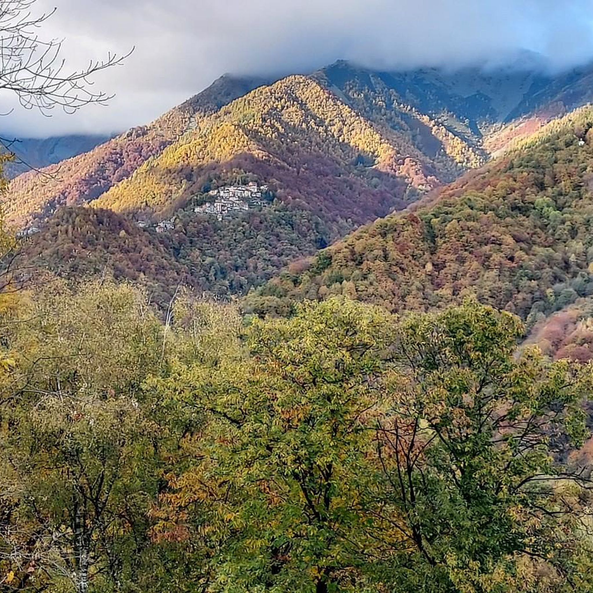
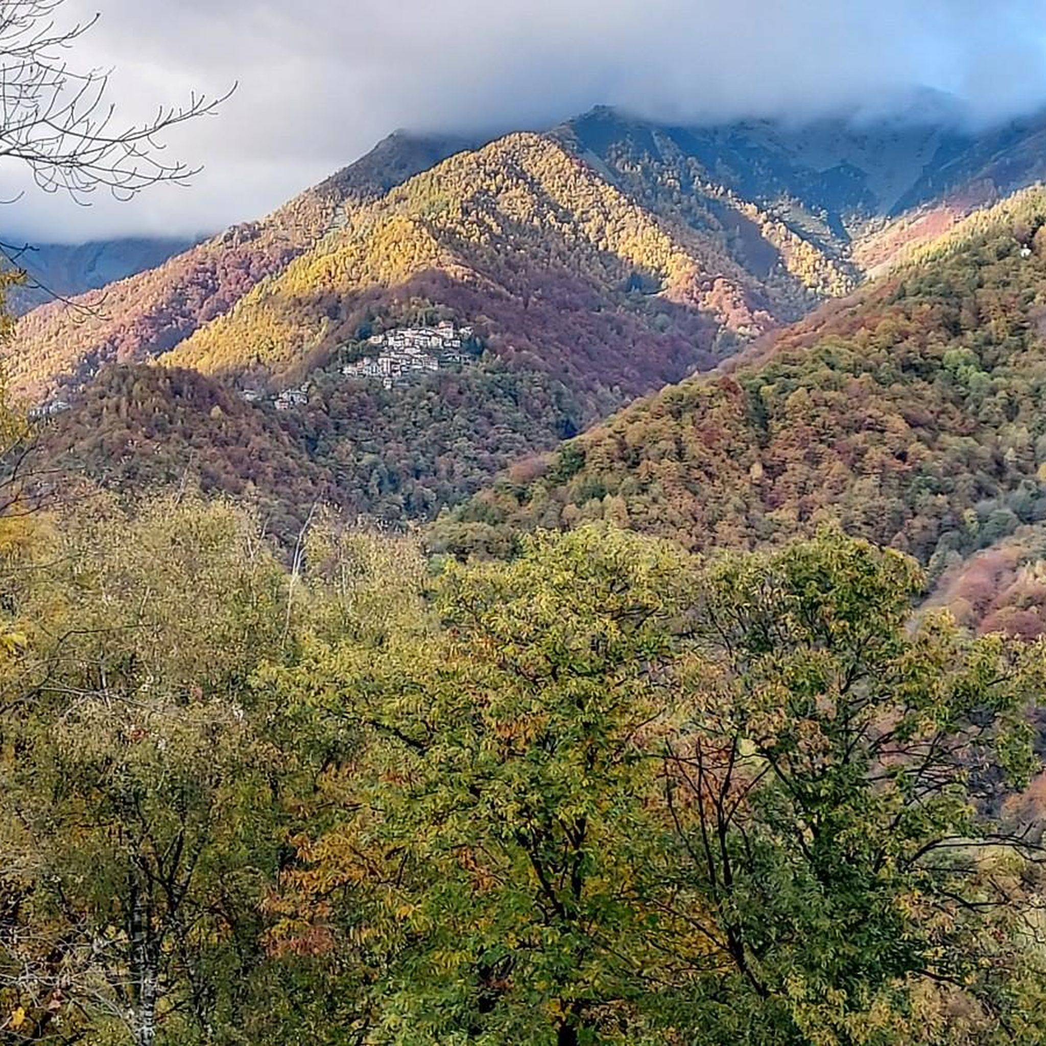
From Monte Cucco, a beautiful panorama is visible over the Biellese and also over the Cervo valley and its peaks, including Cima di Bo.
1
0
Summit easy to reach starting from the provincial road Rosazza-Oropa, which climbs beyond the sanctuary of Oropa
1
0

The **Passo (or Bocchetto) di Bocchetto Sessera is an alpine pass located in the Biella Alps, in the Province of Biella (Piedmont, Italy). It connects the Valle dello Strona di Mosso with the Val Sessera, between the mountains Monte Marca (1,558 m) and Monticchio (1,697 m).
14
0
The Santuario di Oropa is one of the most important Marian places of worship in Piedmont, Italy, located at about 1,159 m above sea level on the mountainside of the Valle d’Oropa, just above Biella. It is famous for its religious history, imposing architecture, and the surrounding natural landscape.
10
0
at the top left you can see the sanctuary of San Giovanni
0
1
interesting observation point of the valley
0
4
Frequently Asked Questions
How many running routes are available around Miagliano?
There are over 300 running routes in the Miagliano area, offering a wide variety of options for all skill levels. This includes 19 easy routes, 182 moderate routes, and 122 difficult routes, ensuring there's a trail for every runner.
Are there any easy or beginner-friendly jogging routes in Miagliano?
Yes, Miagliano offers 19 easy jogging routes suitable for beginners or those looking for a more relaxed run. While specific easy routes are not detailed here, these trails typically feature less elevation gain and shorter distances, providing a gentle introduction to the region's beautiful landscapes.
Can I find circular running routes near Miagliano?
Many of the running routes around Miagliano are designed as loops, allowing you to start and finish in the same location. For example, the Running loop from Andorno Micca is a moderate 4.3-mile (6.9 km) option, and the more challenging View of Valle Cervo – Belvedere del Malatrà loop from Miagliano covers 15.3 miles (24.7 km).
What kind of terrain can I expect on Miagliano's running trails?
The Miagliano region is characterized by its diverse and often hilly terrain. Runners can expect a mix of forested paths, open stretches, and significant elevation changes. Routes often traverse valleys and ascend into hilly areas, providing both challenging climbs and more moderate sections, with many offering panoramic views.
Are there any scenic viewpoints or attractions along the running routes?
Absolutely! Miagliano's routes often lead to scenic viewpoints and pass by interesting landmarks. For instance, the Shrine of Saint Eusebius – Sanctuary of Oropa loop from Miagliano takes you past significant religious sites. Other notable attractions in the wider area include the historic Oropa Sanctuary and the Bocchetto Sessera Pass, offering stunning vistas.
What do other runners say about the trails in Miagliano?
The running routes in Miagliano are highly regarded by the komoot community, boasting an average rating of 4.4 stars from over 60 reviews. Runners frequently praise the varied terrain, the challenging climbs, and the rewarding panoramic views that make each run a unique experience.
Are the running trails around Miagliano suitable for families?
While many routes in Miagliano feature significant elevation, there are 19 easy routes that could be suitable for families looking for a less strenuous outing. When running with children, it's advisable to choose shorter, flatter sections and ensure everyone is comfortable with the distance and elevation.
Can I bring my dog on the running trails in Miagliano?
Generally, dogs are welcome on many outdoor trails in the Miagliano region. However, it's always best to keep your dog on a leash, especially in populated areas, near livestock, or in nature reserves, to ensure safety and respect for wildlife and other trail users. Always carry water for your pet.
What is the best time of year to go running in Miagliano?
Spring and autumn are generally considered the best times for running in Miagliano. The weather is typically milder, and the natural scenery is vibrant with blooming flowers or rich autumn colors. Summer can be warm, especially at lower elevations, while winter runs might require appropriate gear for colder temperatures and potential snow in higher areas.
Are there any longer, more challenging running routes for experienced runners?
Yes, Miagliano is well-suited for experienced runners seeking a challenge, with 122 difficult routes available. The Summit Cross of Monte Casto – Piana del Ponte Hut loop from Miagliano is a prime example, spanning 25.4 miles (40.9 km) with substantial elevation gain, taking approximately 6 hours to complete.
Are there places to stop for refreshments or find shelter along the routes?
While specific cafes directly on every trail are not guaranteed, many routes pass through or near small towns and villages where you can find refreshments. Additionally, the region has several huts like Rifugio della Balma and Piana del Ponte Hut, which can offer shelter or a place to rest on longer runs.
How long do the running routes typically take to complete?
The duration of running routes in Miagliano varies significantly based on distance and difficulty. Shorter, moderate routes like the Running loop from Tavigliano (3.2 miles / 5.2 km) can be completed in about 35 minutes. Longer, more challenging trails, such as the Summit Cross of Monte Casto – Piana del Ponte Hut loop from Miagliano, can take up to 6 hours.
Most popular routes around Miagliano
Most popular attractions around Miagliano

Get inspired with the komoot mobile app


Explore more
Browse the best Running Trails & Routes in other regions.
