The best MTB trails around Pralungo
4.4
(501)
3,442
riders
239
rides
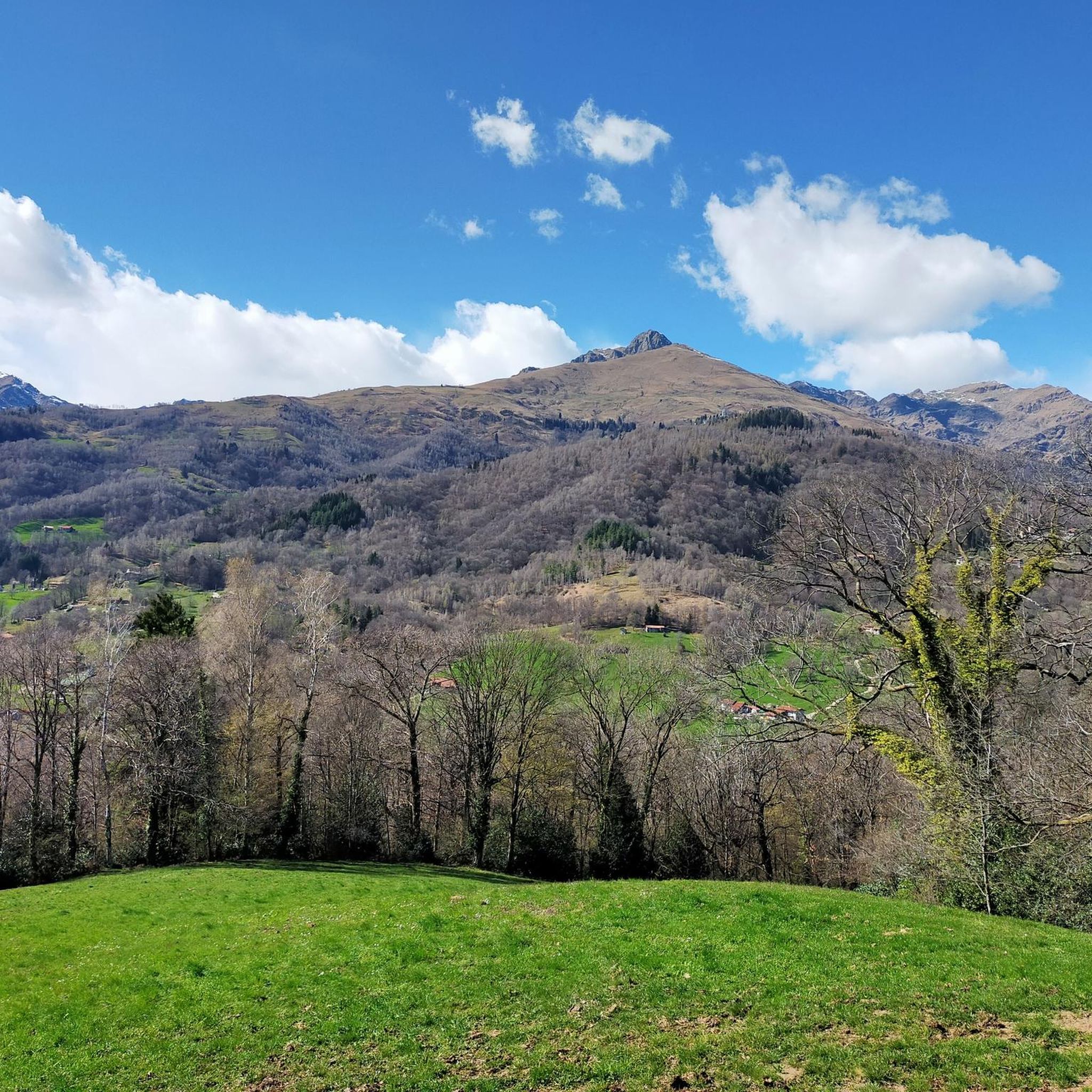
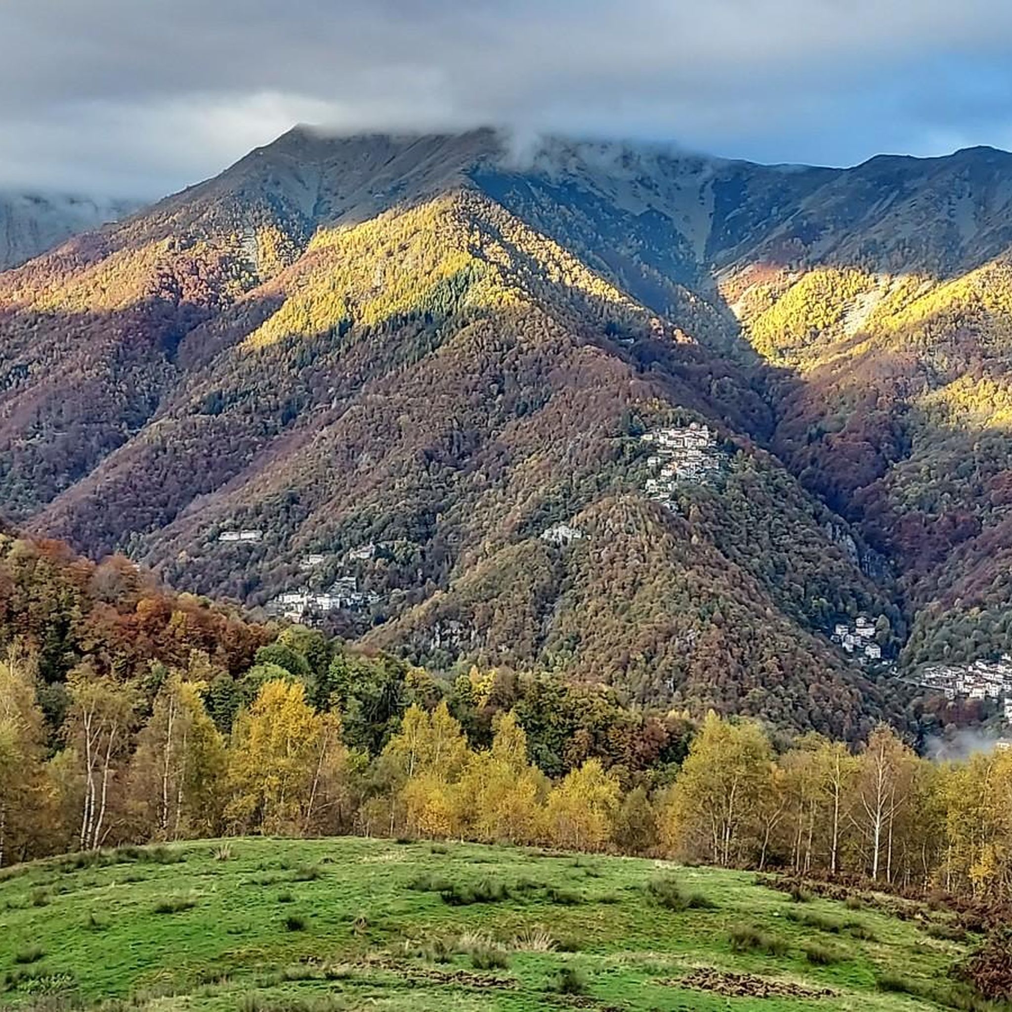
Mountain biking around Pralungo offers a diverse landscape characterized by rolling hills, dense woodlands, and scenic stream valleys. The region features a mix of natural trails and established paths, providing varied terrain for mountain bikers. Elevations are generally moderate, with some routes including more significant climbs. The area's geography supports a range of mountain biking experiences, from leisurely rides through parkland to more challenging ascents.
Best mountain bike trails around Pralungo
- The most popular mountain bike trail is Towards Il…
Last updated: July 4, 2026
4.7
(20)
82
riders
30.4km
03:09
920m
920m
Hard mountain bike ride. Very good fitness required. Advanced riding skills necessary.
5.0
(1)
41
riders
32.6km
03:24
1,220m
1,210m
Hard mountain bike ride. Very good fitness required. Advanced riding skills necessary. Some portions of the route may require you to push your bike.

Sign up for free
4.5
(4)
43
riders
20.6km
01:50
670m
670m
Moderate mountain bike ride. Good fitness required. Suitable for all skill levels.
3.0
(2)
36
riders
21.3km
01:41
480m
480m
Hard mountain bike ride. Good fitness required. Advanced riding skills necessary. Some portions of the route may require you to push your bike.
5.0
(4)
39
riders
26.0km
02:40
960m
960m
Hard mountain bike ride. Very good fitness required. Suitable for all skill levels.
Get access to more routes and recommendations from other explorers.
Sign up for free
Already have an account?
Our route recommendations are based on thousands of hikes, rides, and runs completed by other people on komoot.
Start today with a free account
Your next adventure awaits.
Login or Signup


Tips from the Community

The Panoramica Zegna is one of the most famous scenic roads in Piedmont and represents the “heart” of the Oasi Zegna, between Biellese and Valsessera.
14
0
The **Passo (or Bocchetto) di Bocchetto Sessera is an alpine pass located in the Biella Alps, in the Province of Biella (Piedmont, Italy). It connects the Valle dello Strona di Mosso with the Val Sessera, between the mountains Monte Marca (1,558 m) and Monticchio (1,697 m).
14
0
The Ponte dei Tre Archi in the La Vecchia locality in Biella (Piedmont, Italy) is a historic stone structure located along the ancient route of the Tranvia Biella‑Oropa — the former tramway line that connected Biella to the Sanctuary of Oropa between 1911 and 1958.
11
0
The Monument to Pietro Micca is a celebratory and historical-patriotic work located in the municipality of Sagliano Micca, in the province of Biella (Piedmont).
14
0
The Santuario di Oropa is one of the most important Marian places of worship in Piedmont, Italy, located at about 1,159 m above sea level on the mountainside of the Valle d’Oropa, just above Biella. It is famous for its religious history, imposing architecture, and the surrounding natural landscape.
10
0

sanctuary about ten km above Biella, reachable by road bike along the only road from Biella, from Andrate, a town above Ivrea with the road called "Tracciolino" from Favaro, just above Biella by mountain bike along the route of the old train
1
0

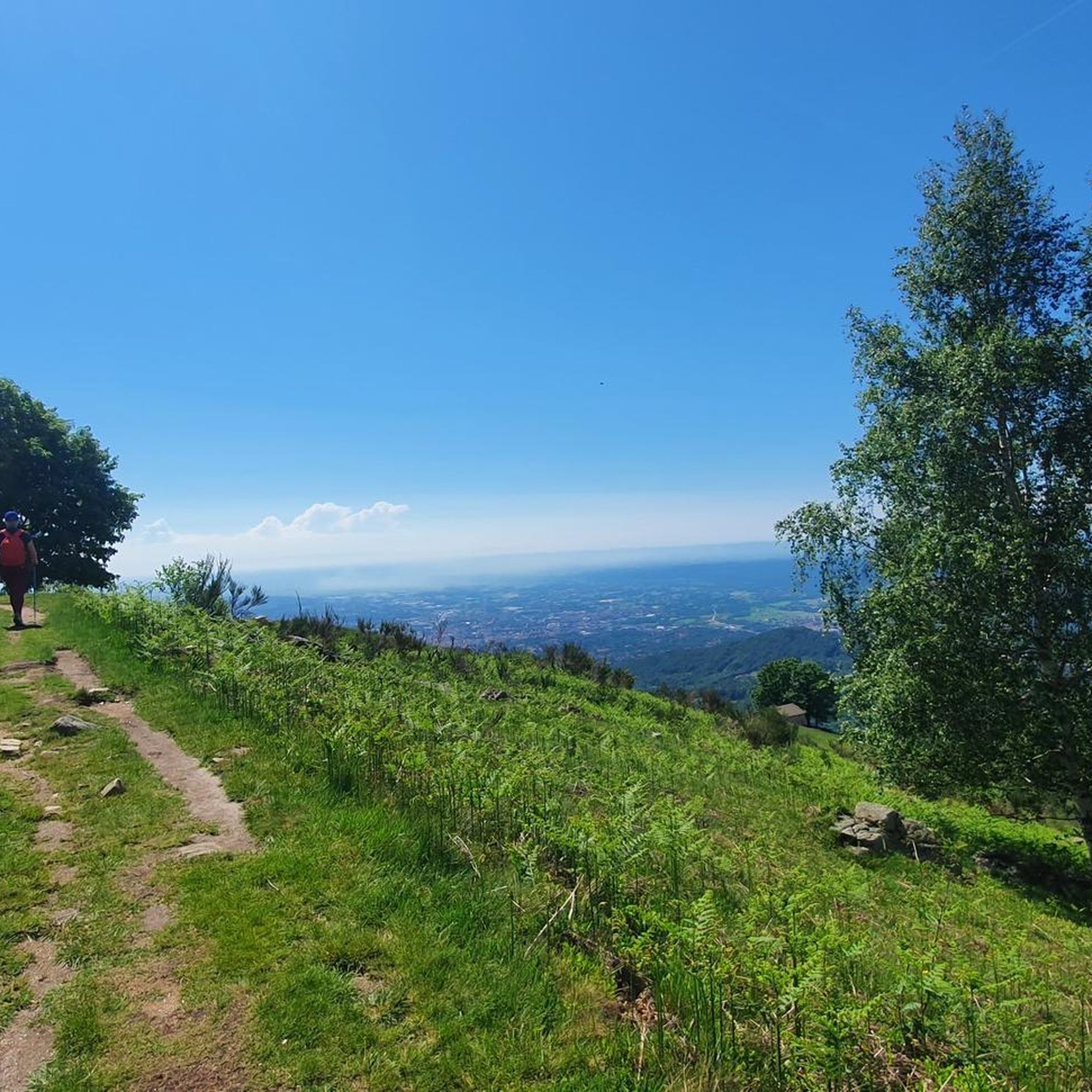
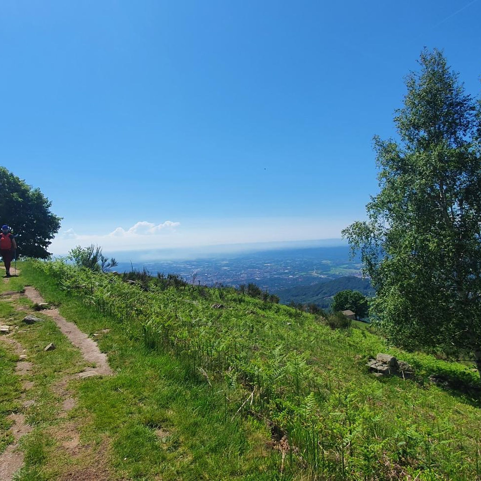
from Pavignano towards Andorno Micca
0
1
you can see the top behind the hills
0
2
Frequently Asked Questions
How many mountain bike trails are available around Pralungo?
There are over 200 mountain bike trails around Pralungo, offering a wide range of options for all skill levels. This includes 23 easy routes, 134 moderate routes, and 61 difficult routes.
Are there any easy or family-friendly mountain bike trails in Pralungo?
Yes, Pralungo offers 23 easy mountain bike routes suitable for beginners or families looking for a more relaxed ride. These trails typically feature gentler terrain and less challenging climbs. For example, the Bridge over the Oropa Stream – Oropa Stream loop from Pralungo is a moderate option that follows stream-side paths, which can be enjoyable for families with some experience.
What is the best season for mountain biking in Pralungo?
The best season for mountain biking in Pralungo is generally from spring through autumn (April to October). During these months, the weather is usually mild, and the trails are dry and in good condition. While winter riding is possible, some trails might be affected by snow or ice, especially at higher elevations.
Are there any circular mountain bike routes around Pralungo?
Yes, many of the mountain bike trails around Pralungo are designed as loops. For instance, the challenging Burcina Park – Sanctuary of Oropa loop from Pralungo and the moderate Descent to the Gorgomoro – Burcina Park loop from Tollegno are popular circular options that allow you to start and finish at the same point.
What kind of terrain can I expect on mountain bike trails in Pralungo?
The terrain around Pralungo is diverse, characterized by rolling hills, dense woodlands, and scenic stream valleys. You'll find a mix of natural singletrack and established paths. Elevations are generally moderate, but some routes, particularly the difficult ones, include significant climbs and descents.
Are there any waterfalls or natural attractions along the mountain bike routes?
Yes, the Pralungo area is home to several beautiful waterfalls. You might encounter the Oropa Stream Waterfall or the Rio della Furia Waterfalls. The Il Gorgomoro is another notable waterfall in the region, often accessible from various trails.
What do other mountain bikers enjoy most about the trails in Pralungo?
The mountain bike trails in Pralungo are highly rated by the komoot community, with an average score of 4.4 stars from over 500 reviews. Reviewers often praise the diverse landscape, the mix of natural trails and established paths, and the scenic beauty of the woodlands and stream valleys.
Are there any mountain huts or places to rest along the trails?
Yes, there are several huts and refuges in the vicinity of Pralungo that can serve as resting points or offer refreshments. Notable options include the Rifugio della Balma and the Piana del Ponte Hut. These can be great spots to take a break during longer rides.
How long do mountain bike rides typically take in Pralungo?
Ride durations vary significantly depending on the trail's length and difficulty, as well as your personal pace. For example, a moderate route like the Descent to the Gorgomoro – Burcina Park loop from Miagliano (26.6 km) might take around 1 hour 58 minutes, while a more challenging 30 km route could take over 3 hours.
Are there options for advanced mountain bikers seeking a challenge?
Absolutely. Pralungo offers 61 difficult mountain bike routes for experienced riders. These trails often feature significant elevation gains, technical descents, and varied, demanding terrain. The Towards Il Casto – Shortcut to the road loop from Biella is a prime example, known for its steady climbs and challenging sections.
Is it possible to find less crowded mountain bike trails in Pralungo?
While some popular routes can see more traffic, with over 200 trails available, it's certainly possible to find less crowded options, especially on weekdays or by exploring some of the lesser-known moderate or difficult routes. The region's extensive network allows for plenty of exploration away from the busiest paths.
Most popular routes around Pralungo
Most popular attractions around Pralungo

Get inspired with the komoot mobile app


Explore more
Browse the best MTB trails in other regions.
