The best walks and hikes around Mongrando
4.4
(3005)
14,616
hikers
13
hikes
Hiking around Mongrando offers diverse landscapes, from the serene shores of Lake Ingagna to the unique terrain of the Bessa Gold Mining Archaeological Site. The region is characterized by its proximity to the Biella Alps, providing alpine vistas and varied elevation changes. Dense Elvo Valley woods feature rediscovered paths, and the area is part of the larger Piedmont region known for its extensive trail networks.
Best hiking trails around Mongrando
- The most popular hiking route is Biellese countryside trail to…
Last updated: August 30, 2026
3.0
(1)
2
hikers
8.29km
02:27
260m
260m
Moderate hike. Good fitness required. Easily-accessible paths. Suitable for all skill levels.
2
hikers
13.1km
03:33
180m
180m
Moderate hike. Good fitness required. Easily-accessible paths. Suitable for all skill levels.

Sign up for free
14.0km
03:57
300m
300m
Moderate hike. Good fitness required. Easily-accessible paths. Suitable for all skill levels.
4.2
(6)
14
hikers
12.8km
03:33
230m
230m
Moderate hike. Good fitness required. Easily-accessible paths. Suitable for all skill levels.
4.5
(2)
8
hikers
14.2km
04:02
310m
310m
Moderate hike. Good fitness required. Easily-accessible paths. Suitable for all skill levels.
Get access to more routes and recommendations from other explorers.
Sign up for free
Already have an account?
Our route recommendations are based on thousands of hikes, rides, and runs completed by other people on komoot.
Start today with a free account
Your next adventure awaits.
Login or Signup

Tips from the Community

cycle/pedestrian walkway over the Ingagna stream
0
2

Interesting and panoramic passage for cyclists and walkers on the Ingagna stream
3
0
Lake Ingagna is an artificial lake in the municipality of Mongrando, east of Serra.
3
0

A beautiful reception point, an access porch
0
0

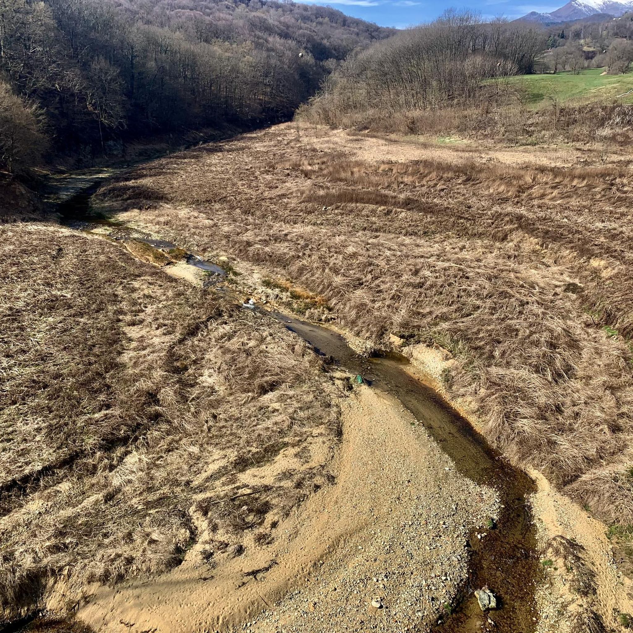
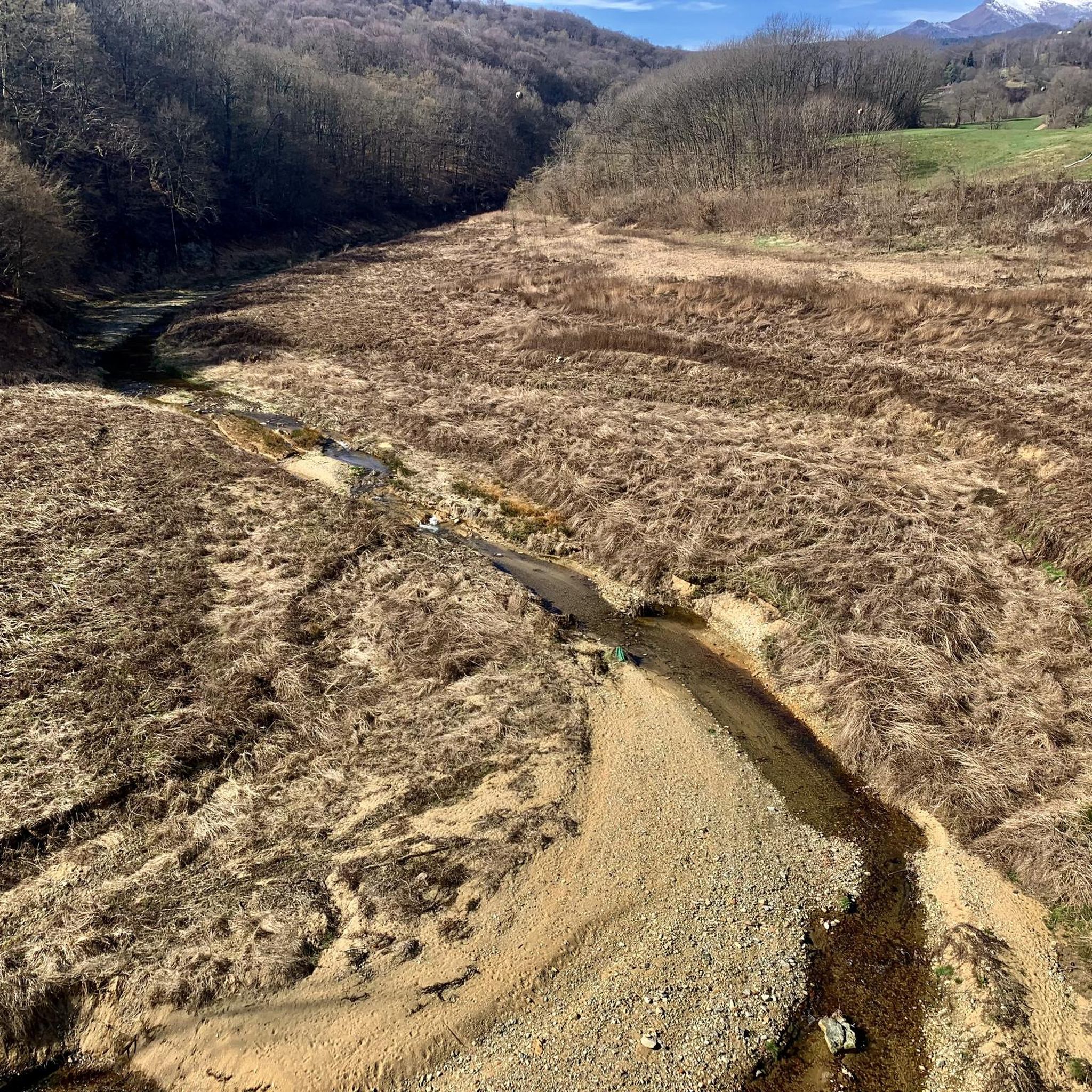
the riverbed of the Ingagna seen from the dam
0
2
pay attention to the blocked road at the dam
0
2
interesting and panoramic passage only by cycle and pedestrian on the Ingagna stream, with its large artificial dam. ATTENTION! the road that runs alongside the dam (coming from Netro) is closed (June 2022 - block unfortunately not reported in advance) at the dam, therefore it is necessary immediately after the bridge, do not turn left but continue on the path forward for about ten meters and take the smaller uphill path always left (easy path for MTB easily identifiable) to reconnect after a few km on the provincial road to Mongrando and continue the tour.
0
2
Frequently Asked Questions
How many hiking trails are available around Mongrando?
Mongrando offers a selection of over 10 hiking trails, catering to various preferences and skill levels. These routes explore diverse landscapes, from serene lakeside paths to unique historical sites.
What is the typical terrain and difficulty of hiking trails in Mongrando?
The trails around Mongrando feature diverse terrain, including dense woodlands, lakeside paths, and areas with significant elevation changes, especially closer to the Biella Alps. You'll find a good mix of options, with 5 easy routes, 6 moderate routes, and 2 more challenging difficult routes available.
Are there family-friendly hiking options in Mongrando?
Yes, Mongrando offers several easy hiking routes suitable for families. These trails often wind through pleasant woodlands or along gentler paths, providing an enjoyable experience for all ages. For example, the Vermogno Picnic Area loop from Borriana is an easy option.
Can I bring my dog on trails in Mongrando?
Many trails in the Mongrando area are dog-friendly, allowing you to explore the natural beauty with your canine companion. It's always recommended to keep dogs on a leash, especially in areas with wildlife or near agricultural land, and to carry water for them.
Are there circular hiking routes available in Mongrando?
Yes, you can find circular hiking routes around Mongrando. A notable example is the Ingagna Reservoir Bridge – San Michele Fountain loop from Mongrando, which offers a comprehensive experience of the area's natural beauty.
What natural features or historical sites can I see while hiking in Mongrando?
Mongrando's trails offer a blend of natural beauty and historical significance. You can explore the unique 'lunar' landscape of the Bessa Gold Mining Archaeological Site, remnants of ancient gold mining. The region also features the artificial Lake Ingagna and the Mongrando Dam, providing scenic views. Additionally, the dense Elvo Valley woods offer an immersive nature experience.
Are there any trails that feature lakes or dams?
Absolutely. A significant natural feature is Lake Ingagna, formed by the Mongrando Dam. The 'Mongrando Dam Tour' offers panoramic views of the Biella Alps as you hike around the lake. The lake itself is a tranquil spot, popular with bathers and fishermen.
What is the best time of year to hike in Mongrando?
The trails in Mongrando are generally suitable for exploration throughout the year. Spring and autumn offer pleasant temperatures and vibrant scenery, while summer is ideal for enjoying the lakeside areas. Even in winter, some paths can be hiked, though conditions may vary.
What do other hikers say about the trails in Mongrando?
The hiking routes in Mongrando are highly rated by the komoot community, with an average score of 4.5 stars from over 2,500 reviews. Hikers often praise the diverse landscapes, from serene lakeside trails to unique historical sites, and the well-maintained paths through the Elvo Valley woods.
Are there any interesting huts or castles near the hiking routes?
Yes, the region around Mongrando is dotted with interesting historical sites and mountain huts. You can find several huts like Alpe Sette Fontane or Pianetti Hut. For historical attractions, consider visiting the Ricetto of Candelo or the Ivrea Castle, which are within reach of the area.
Is parking available at trailheads in Mongrando?
While specific parking details vary by trailhead, many popular starting points for hikes in the Mongrando area offer designated parking facilities. It's advisable to check individual route descriptions for the most accurate information on parking availability.
How accessible are the trails by public transport?
Access to trails by public transport in Mongrando can be limited, as is common in many rural Italian regions. While some villages may have bus connections, reaching specific trailheads often requires a car. It's recommended to research local bus schedules if you plan to rely on public transport.
Most popular routes around Mongrando
Most popular attractions around Mongrando

Get inspired with the komoot mobile app


Explore more
Browse the best Hikes in other regions.
