The best walks and hikes around Gifflenga
4.4
(86)
453
hikers
41
hikes
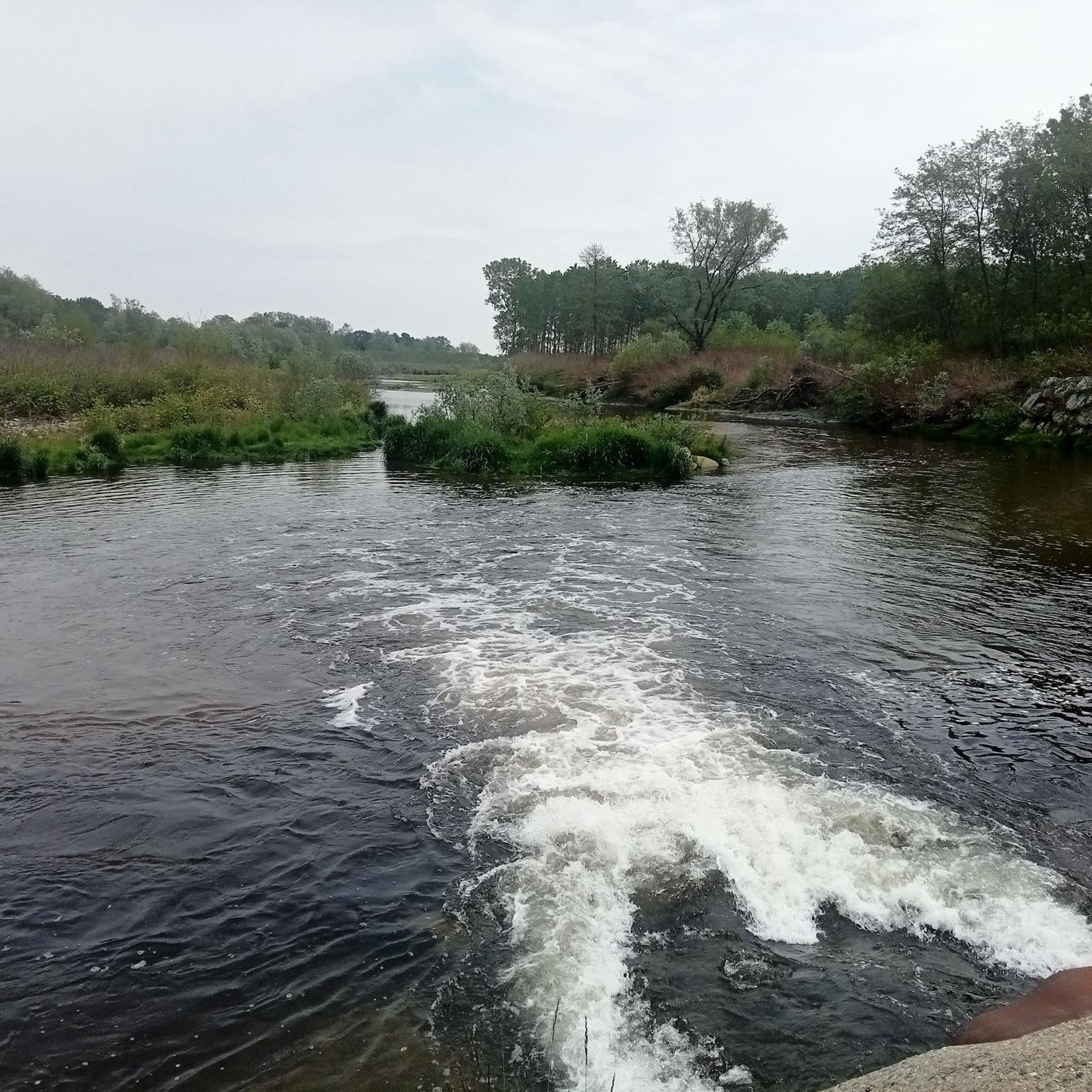
Hiking around Gifflenga offers routes through agricultural landscapes, characterized by extensive rice fields and apple orchards. The municipality is situated along the Cervo stream, providing opportunities for walks along its banks. While the immediate area is relatively flat, distant views of the Biellese Alps are visible. This region serves as a starting point for exploring the broader natural beauty of the Biellese area.
Best hiking trails around Gifflenga
- The most popular hiking route is Candelo Baraggia Nature Reserve Trail,…
Last updated: July 1, 2026
26.1km
07:02
330m
330m
Hard hike. Very good fitness required. Easily-accessible paths. Suitable for all skill levels.
19.0km
05:06
230m
230m
Hard hike. Very good fitness required. Easily-accessible paths. Suitable for all skill levels.

Sign up for free
3.0
(1)
9
hikers
5.78km
01:31
40m
40m
Easy hike. Great for any fitness level. Easily-accessible paths. Suitable for all skill levels.
5.0
(1)
10
hikers
14.3km
03:55
220m
220m
Moderate hike. Good fitness required. Easily-accessible paths. Suitable for all skill levels.
7
hikers
8.74km
02:16
60m
60m
Moderate hike. Good fitness required. Easily-accessible paths. Suitable for all skill levels.
Get access to more routes and recommendations from other explorers.
Sign up for free
Already have an account?
Our route recommendations are based on thousands of hikes, rides, and runs completed by other people on komoot.
Start today with a free account
Your next adventure awaits.
Login or Signup


Tips from the Community

Parking lot from which you can reach this large park in the Biella area
0
0

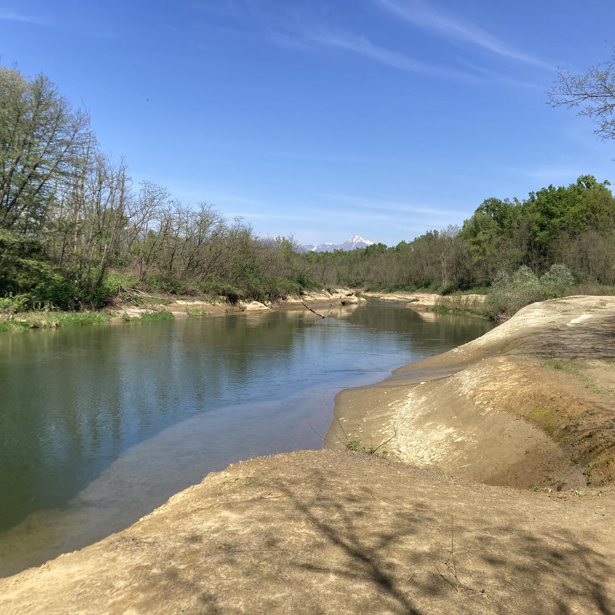
A rare beauty of erosion, a wild and solitary place a stone's throw from civilization, easily accessible by bike or on foot (about 2km) from the Sp Castelletto Cervo – Cossato.
2
1

Here bee-eaters breed close to the ground!!!
0
1
Lots of bee-eaters breed here
0
2

Also called "Savana del Biella". It's about the Baraggia reserve, a large area ideal for horseback riding, walking, mountain biking or gravel riding. It is a particular territory located on a wild and suggestive plateau called Baraggione: a vast area of approximately 5000 hectares, in the shape of a triangle, with very particular geological and botanical characteristics. There are numerous paths, including circular ones, shaded by centuries-old oak trees, in some panoramic points over the Cervo stream. For more information: Wikipedia. Baraggia di Candelo (BI).
1
0

interesting geological formations gullies overhanging the Cervo stream
0
3

The origins of the castle of Castellengo date back to the 10th century. After the owner family, the Frichignono, became extinct in 1883, the castle underwent a gradual abandonment, changing ownership several times. In 1990 the current owners began a careful conservative restoration which is still in progress. Today it is possible to stay overnight inside the castle, which has been transformed into a luxury B&B.
2
0
These red-yellowish gullies make the path along the Cervo stream look like a sort of Biella Grand Canyon.
0
1
Frequently Asked Questions
How many hiking trails are available around Gifflenga?
There are over 40 hiking trails in and around Gifflenga, offering a variety of experiences. These routes range from easy walks through agricultural landscapes to more challenging treks in the wider Biellese region.
What kind of landscapes can I expect to see while hiking near Gifflenga?
Hiking around Gifflenga primarily features tranquil agricultural landscapes, including extensive rice fields and apple orchards. You'll also find pleasant walks along the Cervo stream. In the distance, you can enjoy impressive views of the Biellese Alps, providing a beautiful backdrop to the serene countryside.
Are there easy hiking trails suitable for beginners or casual walkers?
Yes, Gifflenga offers a good selection of easy trails. Approximately 19 of the routes are considered easy, perfect for beginners or those looking for a relaxed stroll through the picturesque agricultural fields and along the Cervo stream.
Are there any challenging routes for experienced hikers?
For experienced hikers seeking a challenge, there are 3 difficult routes available. These include longer traverses like the Great Biellese Traverse, which covers over 26 km, and routes such as From Cossato to Zumaglia (via Route P07), offering significant elevation changes and longer durations.
What do other hikers say about the trails around Gifflenga?
The trails around Gifflenga are highly regarded by the komoot community, with an average rating of 4.6 stars from nearly 80 reviews. Hikers often appreciate the peaceful agricultural settings, the distant alpine views, and the variety of routes available for different skill levels.
Are there any natural monuments or reserves to explore near Gifflenga?
Yes, the area is home to notable natural features. You can explore the Baraggia di Candelo – Baragge Nature Reserve, known for its unique heathland environment. Other natural highlights include the Cervo Stream Badlands and the peaceful Silent Park.
Can I visit any castles or historical sites while hiking in the region?
Absolutely. The wider Biellese area, accessible from Gifflenga, features several historic castles. You might consider visiting Castello di Castellengo, Castello di Buronzo, or the Verrone Castle, which offer glimpses into the region's rich history.
Are there any family-friendly hiking options around Gifflenga?
While specific family-friendly routes are not detailed, the numerous easy trails through the flat agricultural landscapes and along the Cervo stream are generally suitable for families. The serene environment and gentle terrain make for pleasant walks with children.
What is the best time of year to go hiking in Gifflenga?
The best time to hike in Gifflenga is typically during spring and autumn. Spring offers vibrant green rice fields and blooming orchards, while autumn provides pleasant temperatures and beautiful fall colors. Summer can be warm, especially in the open agricultural areas, but still enjoyable for early morning or late afternoon walks. Winter hiking is possible, but some paths might be muddy or less accessible.
Are there any circular walks available?
While many local trails are point-to-point or offer out-and-back options, the broader Biella Province features extensive circular itineraries. The Grand Tour of Biella Province (GtB) is an example of a large-scale circular route that covers the entire provincial area, with stages of varying difficulty.
Is it possible to hike with dogs on the trails around Gifflenga?
Generally, the outdoor trails in agricultural and natural areas like Gifflenga are dog-friendly. However, it's always recommended to keep your dog on a leash, especially when passing through cultivated fields or near livestock, and to respect local regulations and private property signs.
Where can I find parking for hiking trails in Gifflenga?
Parking availability varies by trailhead. In smaller municipalities like Gifflenga, you can often find public parking in village centers or designated areas near popular trail starting points. It's advisable to check specific route details or local signage upon arrival for the most convenient parking options.
Most popular routes around Gifflenga
Most popular attractions around Gifflenga

Get inspired with the komoot mobile app


Explore more
Browse the best Hikes in other regions.
