The best walks and hikes around Semmenstedt
4.6
(3312)
11,042
hikers
437
hikes
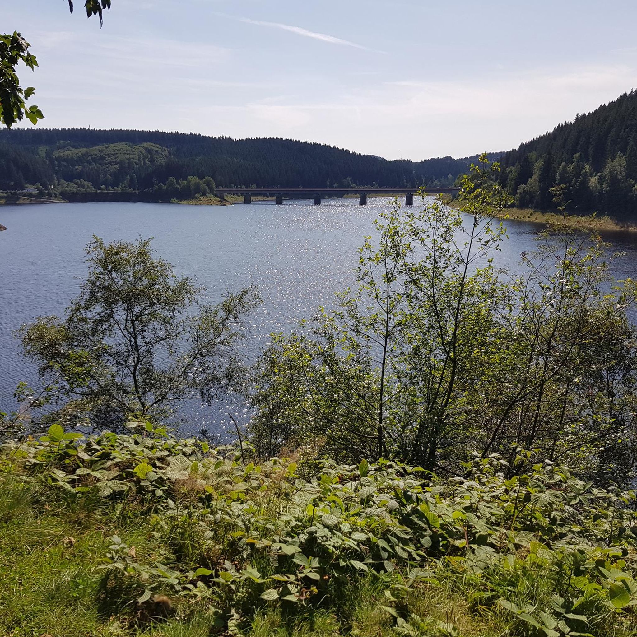
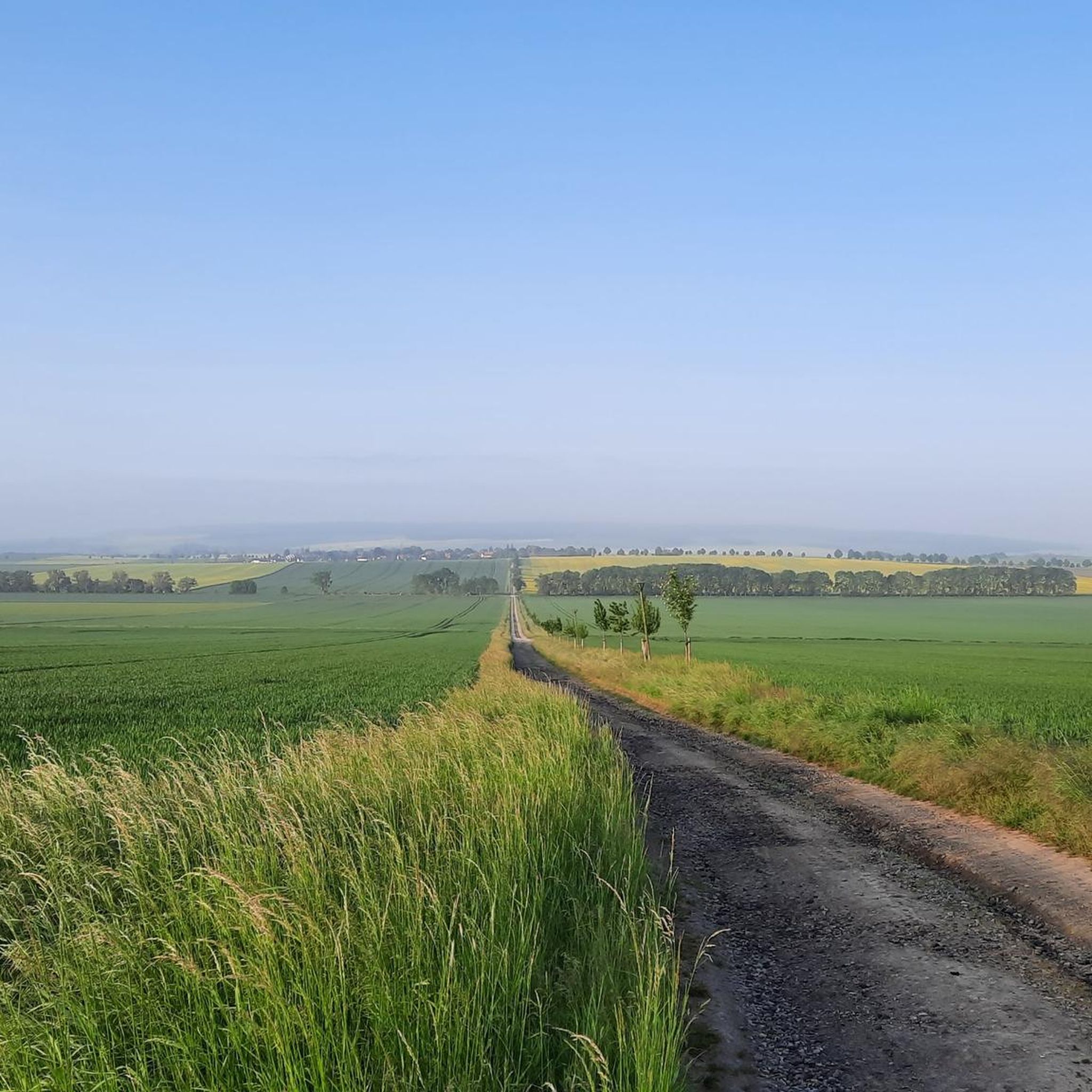
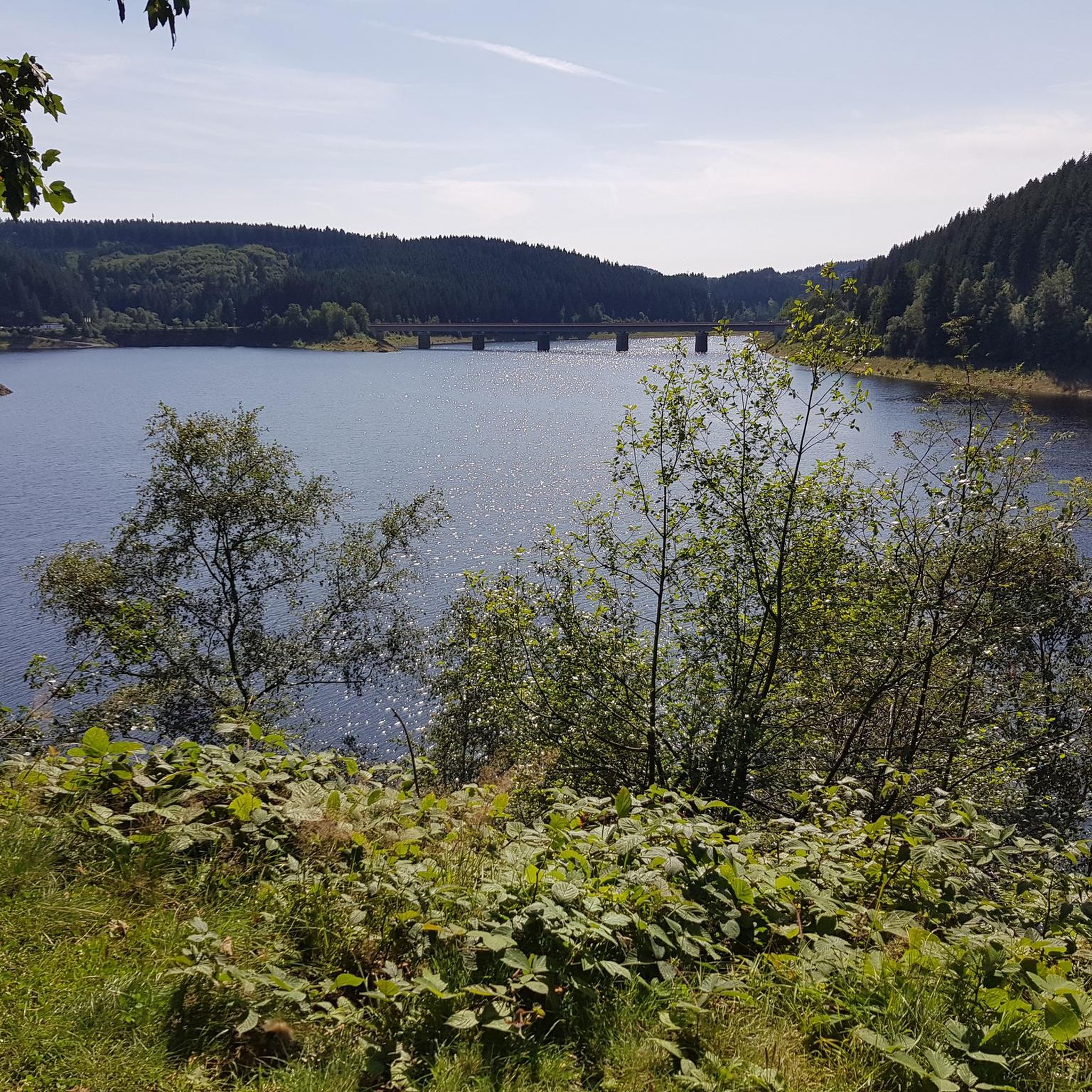
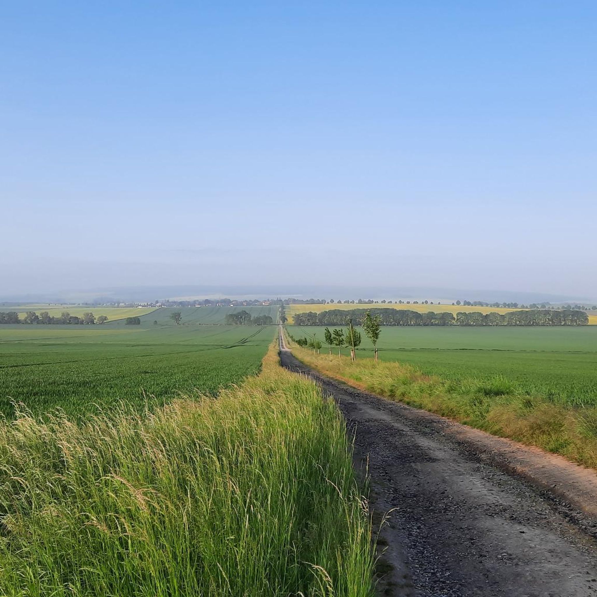
Hiking around Semmenstedt offers diverse outdoor experiences within the Harz-Braunschweiger Land-Ostfalen Geopark. The region is defined by the Asse, a narrow ridge featuring mixed forests, moors, and meadows. Trails include initial and intermittent climbs, providing varied terrain for hikers.
Best hiking trails around Semmenstedt
- The most popular hiking route is NAJU Wolfenbüttel Pond Biotope – Asse II mine loop from Landkreis Wolfenbüttel, an easy 2.8 miles (4.5 km) trail that takes 1 hour 17 minutes to complete, exploring the…
Last updated: September 29, 2026
4.7
(10)
52
hikers
Easy hike. Great for any fitness level. Easily-accessible paths. Suitable for all skill levels.
4.6
(14)
31
hikers
Moderate hike. Good fitness required. Easily-accessible paths. Suitable for all skill levels.

5.0
(5)
25
hikers
Easy hike. Great for any fitness level. Easily-accessible paths. Suitable for all skill levels.
5.0
(4)
12
hikers
8.27km
02:19
160m
160m
Moderate hike. Good fitness required. Easily-accessible paths. Suitable for all skill levels.
5.0
(2)
15
hikers
4.72km
01:21
110m
110m
Easy hike. Great for any fitness level. Easily-accessible paths. Suitable for all skill levels.
Get access to more routes and recommendations from other explorers.
Already have an account?
Our route recommendations are based on thousands of hikes, rides, and runs completed by other people on komoot.
Start today with a free account
Your next adventure awaits.
Tips from the Community

Watch out, radioactivity is inspiring here.....
0
0

To the highest point of the Asse, great, you must have a wonderful view there .... Pie in the sky, lots of trees in the way to see anything. 😁
1
0

The stamp arrived today.
0
0

2. Stamp station of the Northern Harz Foreland leisure stamp pass (broken) The Asseburg ruins were one of the largest hilltop castles in northern Germany. It was 185 m long and 35 - 50 m wide and was considered impregnable. It was built by Gunzelin in 1218 and destroyed by fire in 1492. (Source: https://www.noerdliches-harzvorland.com)
0
3
With this adventure trail, the Ostfalen Open Air and Adventure Museum (FEMO), the Asse collective municipality and the Lower Saxony Elm Forestry Office want to bring the natural and cultural history of the Asse closer to visitors in an exciting and diverse way. We invite you to enter the landscape, relax and enjoy nature. The hike begins at the "Waldhaus Asse" car park above Wittmar. The path leads through the Liebes-Allee to the Bismarck Tower and Asseburg, then back to the "Waldhaus Asse" inn. It is also possible to hike around the Röhrberg to the northern Muschelkalk ridge and return to the "Waldhaus Asse" via the Teichweg and the site of the former Asse I mine. 9 experience points explain aspects of geology, history, prehistory and early history, botany and mycology and highlight the connections between these disciplines. (Source: https://www.elm-asse.de)
0
0

Unfortunately, the stamp was missing today (07.07.2024).
0
1
The Asse is a wooded ridge up to 234 m above sea level east-southeast of Wolfenbüttel in the Lower Saxony district of Wolfenbüttel (Germany). The average height of the almost 9 km long and 3 km wide Asse is 200 m, which means it towers over the surrounding area by around 100 m. The highest elevation is the Remlinger Herse at 234 m. In good weather, the ridge offers views of the Elm and Harz mountains as well as the fertile loess areas of the Schöppenstedter Mulde and the Remlinger Mulde. The Asse is known nationwide for the Asse II mine, a former salt mine that was operated as a research mine from 1965 to 2008 and in which radioactive waste was permanently stored between 1967 and 1978. (Source: Wikipedia)
0
1

Unfortunately the stamp is gone. I was so angry.
0
1
Frequently Asked Questions
What types of landscapes will I encounter while hiking around Semmenstedt?
Hiking around Semmenstedt primarily features the distinctive Asse ridge, which is part of the Harz-Braunschweiger Land-Ostfalen Geopark. You can expect a diverse mix of landscapes including dense mixed forests, ancient deciduous forests, open moors, and meadows. The terrain often includes initial and intermittent climbs, offering scenic views, some extending all the way to the Harz mountains.
How many hiking trails are available around Semmenstedt, and what are their difficulty levels?
There are over 430 hiking trails around Semmenstedt. The majority are classified as easy, with more than 270 routes suitable for casual walks. Additionally, there are over 150 moderate trails for those seeking a bit more challenge, and a smaller selection of about 12 difficult routes for experienced hikers.
Are there any circular hiking routes near Semmenstedt?
Yes, Semmenstedt and the surrounding Asse region offer several circular routes. For example, the NAJU Wolfenbüttel Pond Biotope – Asse II mine loop is an easy 4.5 km trail. Another popular option is the Café Zuckerstube Wittmar – Scenic Forest Path loop, which is an easy 6.1 km path through scenic forest near Wittmar.
What are some notable landmarks or points of interest to see along the trails?
The region is rich in historical and natural landmarks. You can explore the historic Assewirtschaft — Waldhaus at the Asse, or visit the Old Brickworks Pond Natural Monument. Other points of interest include the Bismarck Tower (Bismarcksäule) Asseburg near Wittmar, the picturesque Lovers' Avenue, and the Asseburg Castle Ruins. The Kaiserpfalz Werla Archaeological Park also adds a historical dimension to outdoor excursions.
Are there family-friendly hiking options in Semmenstedt?
Absolutely. Many of the trails around Semmenstedt are suitable for families, particularly the numerous easy routes. These paths often wind through gentle forest terrain and open meadows, providing a pleasant experience for all ages. Consider routes like the Alley in Remlingen loop, which is an easy 5.6 km walk.
What do other hikers enjoy most about hiking in Semmenstedt?
The hiking experiences around Semmenstedt are highly rated by the komoot community, with an average score of 4.6 stars from over 3000 reviews. Hikers often praise the varied terrain of the Asse ridge, the tranquility of the mixed forests, and the well-maintained paths that cater to different ability levels. The scenic views, especially those extending to the Harz mountains, are also frequently highlighted.
Can I find places to rest or eat along the hiking routes?
Yes, there are options for breaks and refreshments. For instance, the Assewirtschaft — Waldhaus at the Asse is a well-known spot. You might also find the Fallsteinklause Guesthouse & Beer Garden to be a welcoming stop. Additionally, there are shelters like the A-Frame Shelter at Großer Fallstein and the Shelter at Kleiner Fallstein that offer places to rest.
Are there any specific natural features or wildlife to look out for?
The Asse region is known for its 'original deciduous forests' which have preserved ancient tree species. You can also find diverse flora in the moors and meadows. Birdwatchers might enjoy visiting the Schöppenstedter Teiche Bird Sanctuary, which is a significant natural area for local wildlife.
What is the best time of year to go hiking in Semmenstedt?
Semmenstedt offers pleasant hiking experiences throughout much of the year. Spring brings lush greenery and blooming wildflowers, while autumn transforms the deciduous forests into a vibrant display of colors. Summer is ideal for longer days on the trails, and even winter can offer serene, crisp walks, especially through the forested areas of the Asse ridge.
Are there any trails that offer views of the Harz mountains?
Yes, some of the trails along the Asse ridge, particularly those with initial and intermittent climbs, provide excellent panoramic views. On clear days, these viewpoints can offer distant vistas stretching all the way to the Harz mountains, showcasing the broader regional landscape.
Are there any trails that explore the Asse ridge specifically?
Many trails in the area traverse the Asse ridge. A good example is the Forest Path in the Asse – Single trail at Festberg loop, which is a moderate 8.2 km route that leads directly through the heart of the Asse ridge, allowing you to experience its unique terrain and forests.
Most popular attractions around Semmenstedt

Get inspired with the komoot mobile app


Explore more
Browse the best Hikes in other regions.
