The best walks and hikes around Massiola
4.4
(2356)
11,546
hikers
346
hikes
Hiking around Massiola, located in Italy's Verbano-Cusio-Ossola province, offers diverse terrain within the Strona Valley and surrounding mountainous areas. The region is characterized by an alpine environment, featuring significant peaks and valleys that provide varied elevation changes. Trails often lead through historic Walser villages and offer views of nearby alpine lakes, contributing to a rich natural and cultural landscape.
Best hiking trails around Massiola
- The most popular hiking route is Hike in the lower Valle Strona between Forno and Campello…
Last updated: July 7, 2026
4.9
(17)
92
hikers
10.5km
03:22
440m
440m
Moderate hike. Good fitness required. Easily-accessible paths. Suitable for all skill levels.
4.7
(3)
6
hikers
9.10km
06:11
1,250m
1,250m
Hard hike. Very good fitness required. Mostly accessible paths. Sure-footedness required.

Sign up for free
5.0
(1)
6
hikers
17.6km
06:42
1,160m
1,160m
Hard hike. Very good fitness required. Mostly accessible paths. Sure-footedness required.
5
hikers
9.03km
05:21
970m
960m
Hard hike. Very good fitness required. Sure-footedness, sturdy shoes and alpine experience required.
5.0
(2)
4
hikers
7.27km
04:03
850m
870m
Moderate hike. Good fitness required. Mostly accessible paths. Sure-footedness required.
Get access to more routes and recommendations from other explorers.
Sign up for free
Already have an account?
Our route recommendations are based on thousands of hikes, rides, and runs completed by other people on komoot.
Start today with a free account
Your next adventure awaits.
Login or Signup
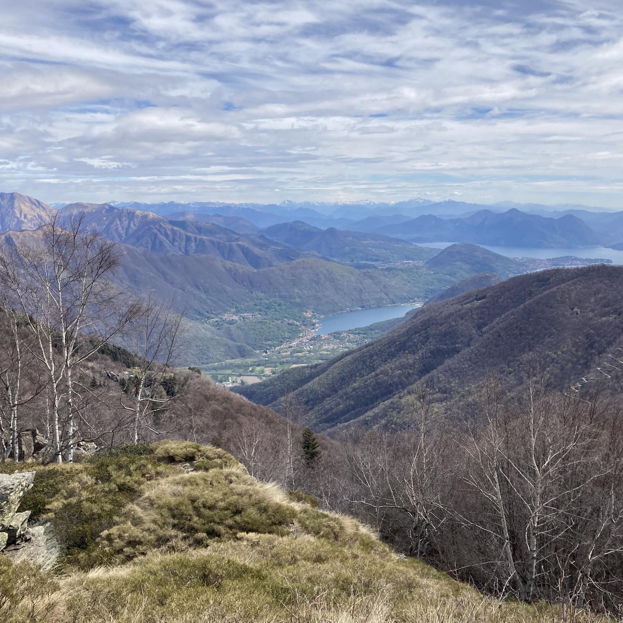
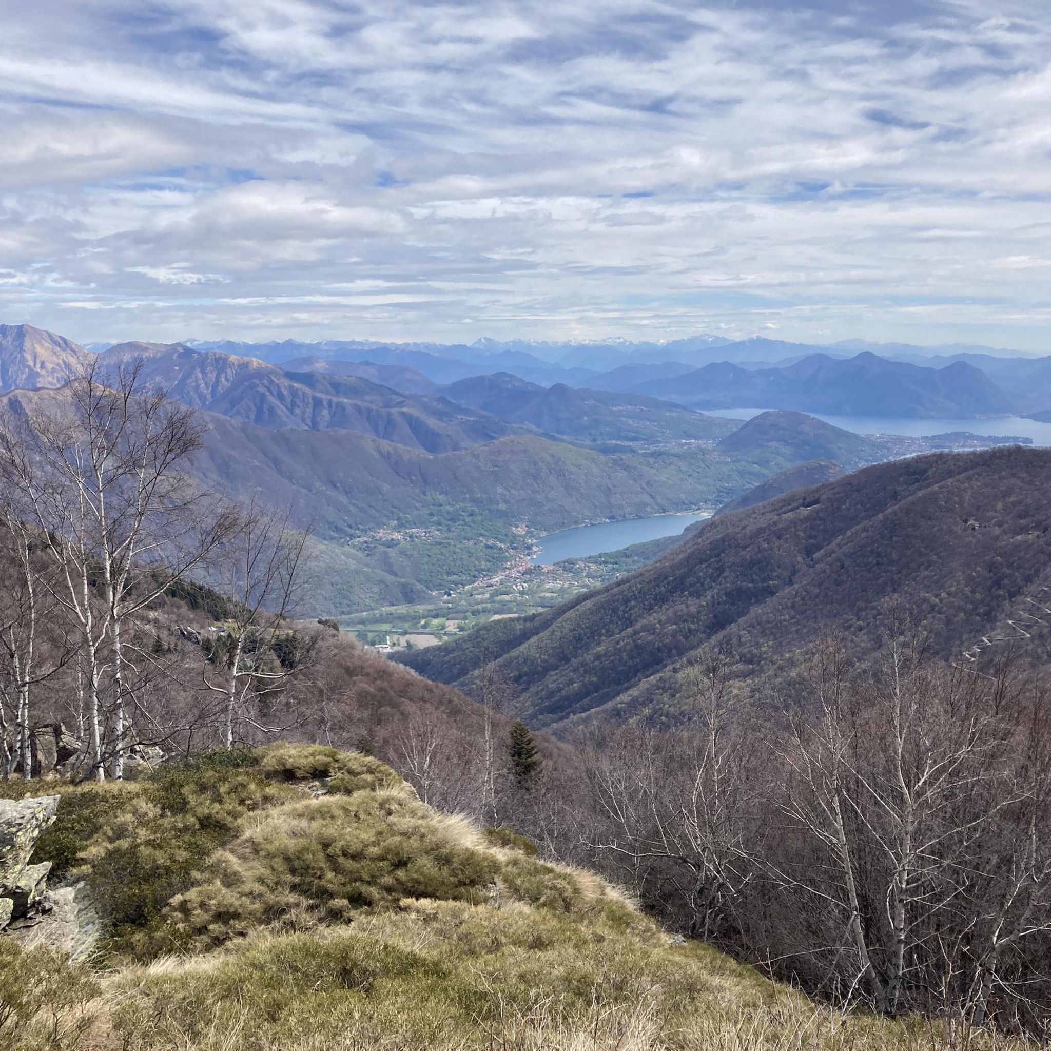
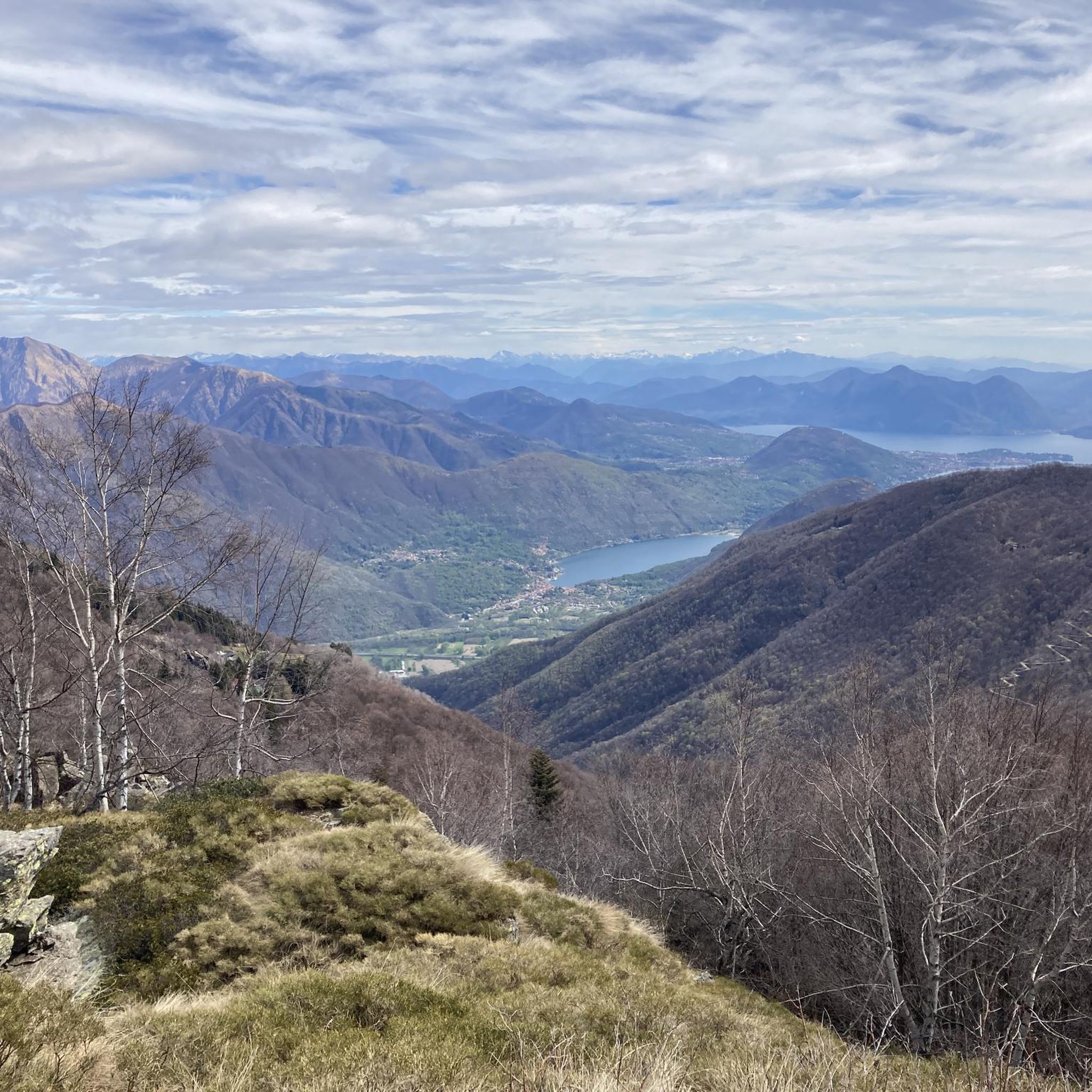
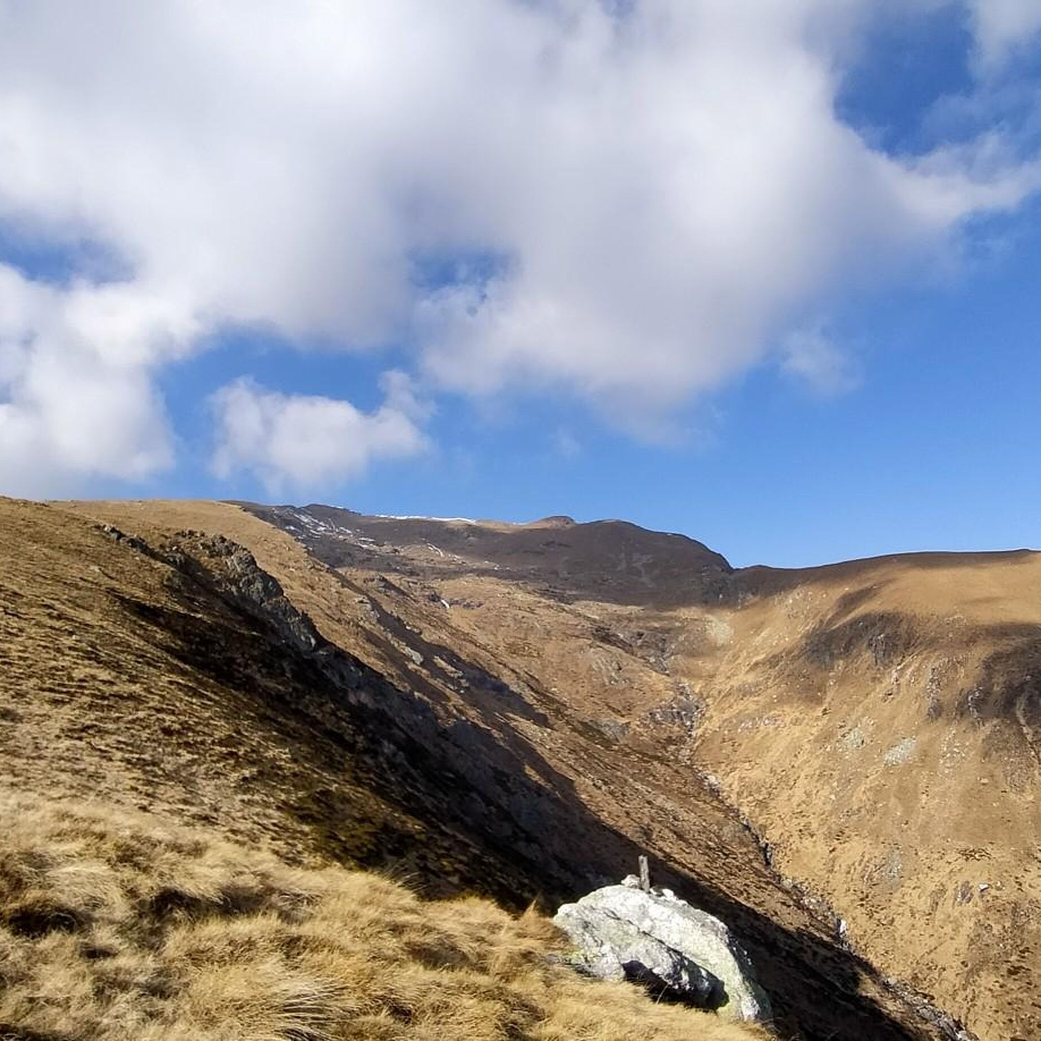

Tips from the Community

Nice climb, definitely leave some room for the end. Halfway through the climb, there are still 675 vertical meters to go from the 1020! But it's really worth driving to the end point.
0
0

Piana di Forno is a small hamlet with an ancient character where you can breathe the history and life of the past. Excellent place to pass between Forno and Cempello.
0
0
Campello is a place to absolutely visit, immersed in the Strona Valley and not very popular for mass tourism. Gateway to beautiful wild excursions and Walser culture make everything magical.
1
0
A beautiful mountain pasture above San Gottardo where you can enjoy a nice rest, the alp is still maintained.
1
0
Iconic arrival location for those who face the tough climb from Omegna, a road with little traffic to enjoy the ride. You will find bars and restaurants.
1
0

✏️ Campello Monti can be reached by bike at the end of the Valstrona climb, which is definitely challenging in the final stretch. Inhabited by the Walser, Campello Monti was an independent municipality until 1929 while now it is a fraction of the municipality of Valstrona which until 1929.
0
0

Nice bar at the end of the climb with very friendly patrons. Note: You can only pay with cash!
0
0
Frequently Asked Questions
How many hiking trails are available around Massiola?
Massiola offers a wide network of over 325 hiking routes. These range from easy strolls to challenging mountain ascents, catering to various skill levels, with 49 easy, 160 moderate, and 116 difficult options.
What kind of terrain can I expect on hikes around Massiola?
The hiking terrain around Massiola is predominantly mountainous, nestled within the Strona Valley. You'll encounter significant elevation changes, alpine environments, and trails that often lead through historic villages. The region is part of Piedmont, known for its rugged peaks and picturesque valleys.
Are there any notable landmarks or natural features to see while hiking near Massiola?
Yes, the area is rich in natural beauty and cultural sites. You can explore the historic Campello Monti Village, a Walser settlement. The broader region also features beautiful alpine lakes like Lake Mergozzo, and trails offering views of Lake Orta and Lago Maggiore.
What do other hikers enjoy most about hiking in Massiola?
The area is highly rated by the komoot community, with an average score of 4.5 stars from over 1,800 reviews. Hikers frequently praise the diverse terrain, from challenging mountain climbs to scenic valley loops, and the opportunity to explore historic villages and enjoy panoramic views.
Are there any circular hiking routes around Massiola?
Yes, there are several circular routes available. A popular option is the Hike in the lower Valle Strona between Forno and Campello Monti − loop, which is a moderate 6.5-mile trail connecting historic villages.
Are there family-friendly hiking options in Massiola?
While many trails involve significant elevation, there are easier routes suitable for families. The lower Strona Valley offers more gentle paths, and you can find some of the 49 easy routes available that might be suitable for a family outing.
Can I bring my dog on the hiking trails in Massiola?
Many trails in the Massiola area are dog-friendly, allowing you to explore the natural beauty with your canine companion. However, always ensure your dog is under control, especially in areas with wildlife or livestock, and check for any specific local regulations or protected areas that might have restrictions.
What is the best time of year to hike in Massiola?
The best time to hike in Massiola is generally from spring through autumn. During these seasons, the weather is more favorable, and the trails are typically clear of snow. Summer offers lush landscapes, while spring and autumn provide pleasant temperatures and vibrant colors. Winter hiking is possible but may require specialized gear due to snow and ice at higher elevations.
Are there any challenging hikes for experienced hikers?
Absolutely. Massiola offers 116 difficult routes for experienced hikers. Trails like the Z06: Luzzogno - Monte Massone Trail, with its challenging climbs towards Monte Massone, or the Grata Gamul Trekking - Stage 3, provide significant elevation gain and rugged mountainous terrain.
Where can I find parking for hiking trailheads in Massiola?
Parking availability varies by trailhead. Many villages and starting points for trails, especially those leading to popular routes, will have designated parking areas. It's advisable to check specific route details on komoot for information on parking at the start of your chosen hike.
Is public transport available to reach hiking areas around Massiola?
While Massiola is nestled in a mountainous region, some public transport options may connect to larger towns in the Strona Valley. From these towns, local buses or taxis might provide access to certain trailheads. For more remote starting points, a car is generally recommended.
Can I spot wildlife on the trails in Massiola?
Yes, the region's diverse natural environment, including its proximity to protected areas like Val Grande National Park, offers opportunities for wildlife spotting. Hikers might encounter ibex, chamois, deer, and various bird species, including golden eagles, especially on quieter, higher-elevation trails.
Most popular attractions around Massiola

Get inspired with the komoot mobile app


Explore more
Browse the best Hikes in other regions.
