The best mountain hikes around Gravellona Toce
4.8
(81)
373
hikers
7
hikes
Mountaineering routes around Gravellona Toce are set within the diverse landscape of northern Piedmont, Italy, serving as a gateway to the Alps. The region is characterized by rocky peaks, expansive alpine meadows, and unspoiled forests, particularly within the nearby Val Grande National Park. This area offers a range of challenging mountaineering and strenuous hiking opportunities, with varied terrain from dramatic gorges to accessible mountain trails.
Best mountaineering routes around Gravellona Toce
- The most popular mountaineering route is Montorfano Ammunition Depot…
Last updated: October 8, 2026
5.0
(4)
23
hikers
7.81km
03:56
610m
610m
Hard mountaineering route. Good fitness required. Sure-footedness, sturdy shoes and alpine experience required.
5.0
(2)
24
hikers
8.26km
02:49
410m
410m
Moderate mountaineering route. Good fitness required. Mostly accessible paths. Sure-footedness required.

4.7
(6)
16
hikers
8.04km
04:25
680m
680m
Hard mountaineering route. Good fitness required. Sure-footedness, sturdy shoes and alpine experience required.
5.0
(2)
7
hikers
7.61km
03:24
560m
560m
Hard mountaineering route. Good fitness required. Sure-footedness, sturdy shoes and alpine experience required.
4.0
(2)
5
hikers
4.40km
02:15
390m
390m
Moderate mountaineering route. Good fitness required. Mostly accessible paths. Sure-footedness required.
Get access to more routes and recommendations from other explorers.
Already have an account?
Our route recommendations are based on thousands of hikes, rides, and runs completed by other people on komoot.
Start today with a free account
Your next adventure awaits.
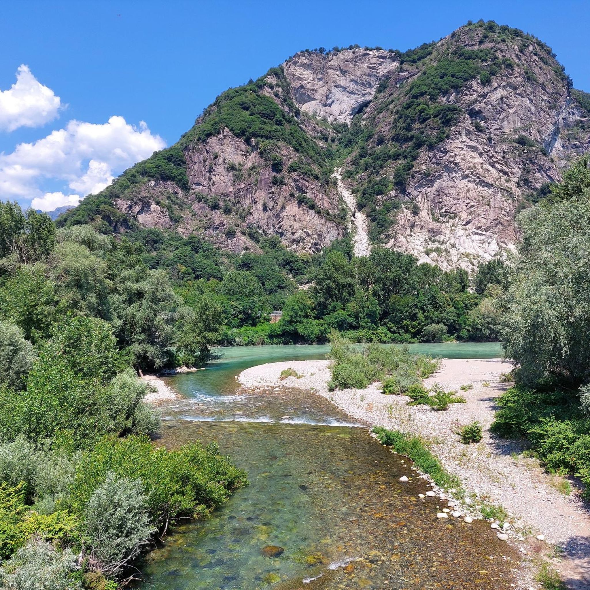
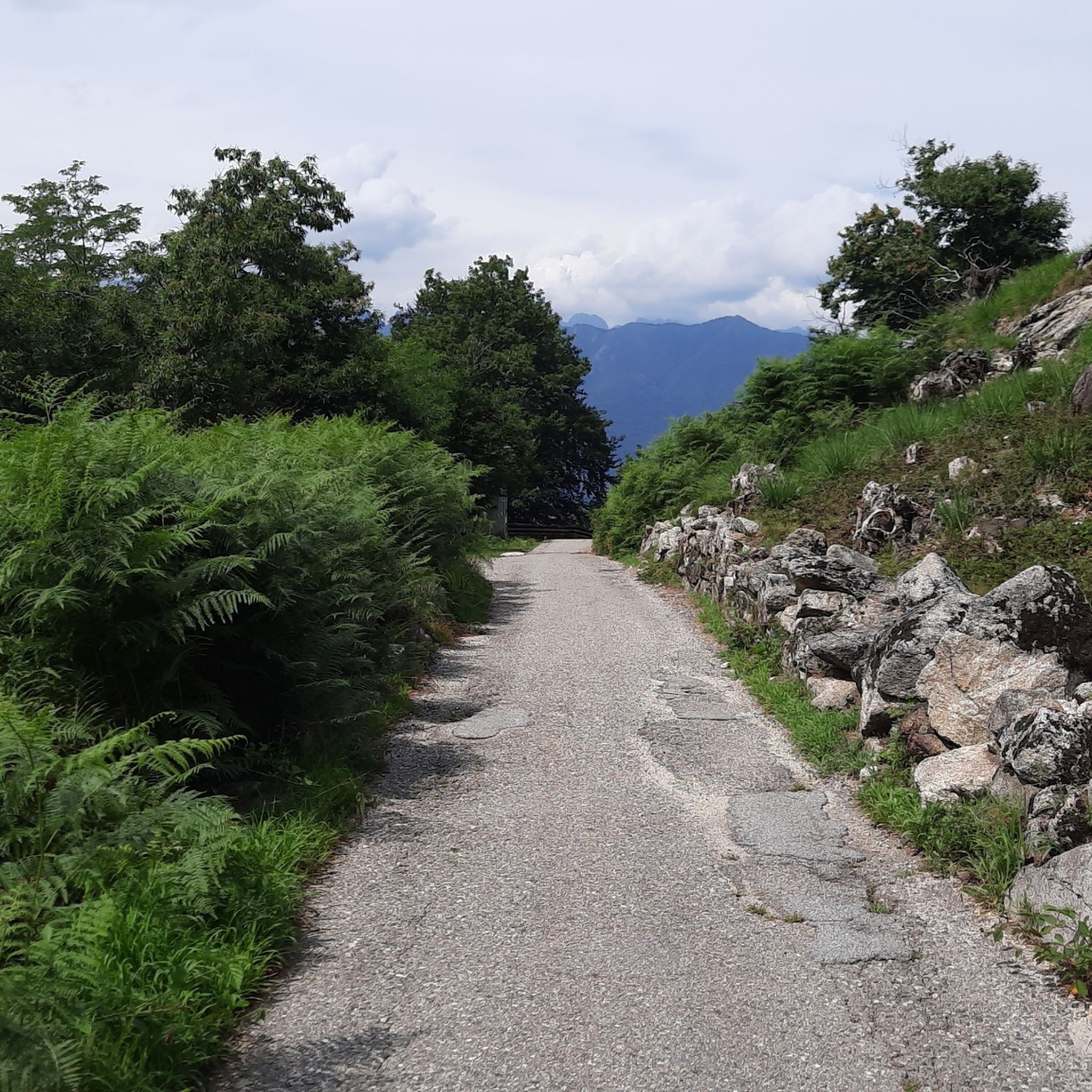
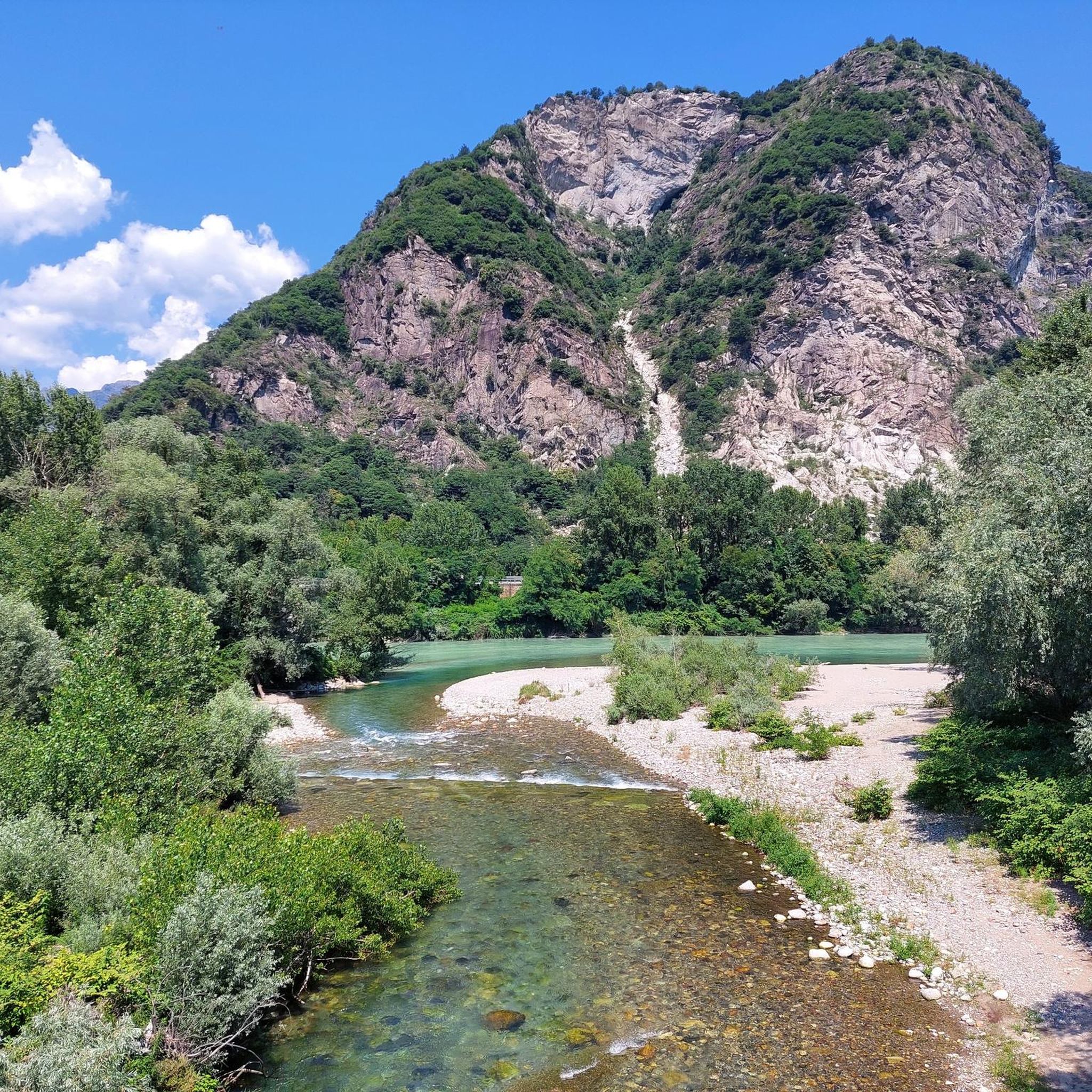

Tips from the Community

Beautiful mountain hut with great food and drinks. Very nice owners, would love to come back. Highly recommended
0
0
Great houses beautiful landscape
0
0


Small space equipped with signs on the history of stonemasons.
0
0
Very fun short exposed section
1
0

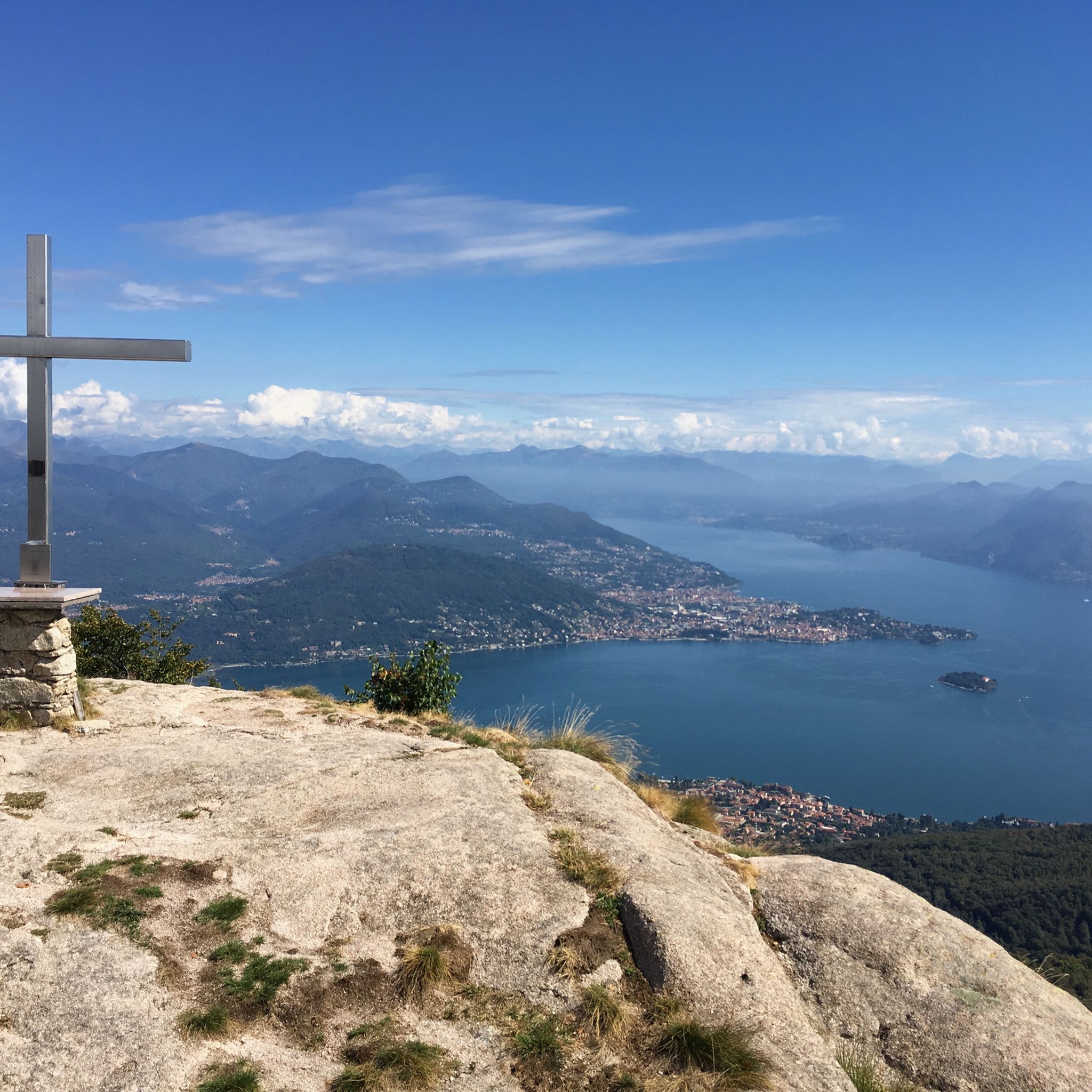
A beautiful panoramic viewpoint, also a great place to catch your breath on the trail leading to the summit from Montorfano. The trail isn't exactly easy, technically speaking.
0
0

Beautiful hike to the summit! Quite steep, but absolutely worth it!
2
0

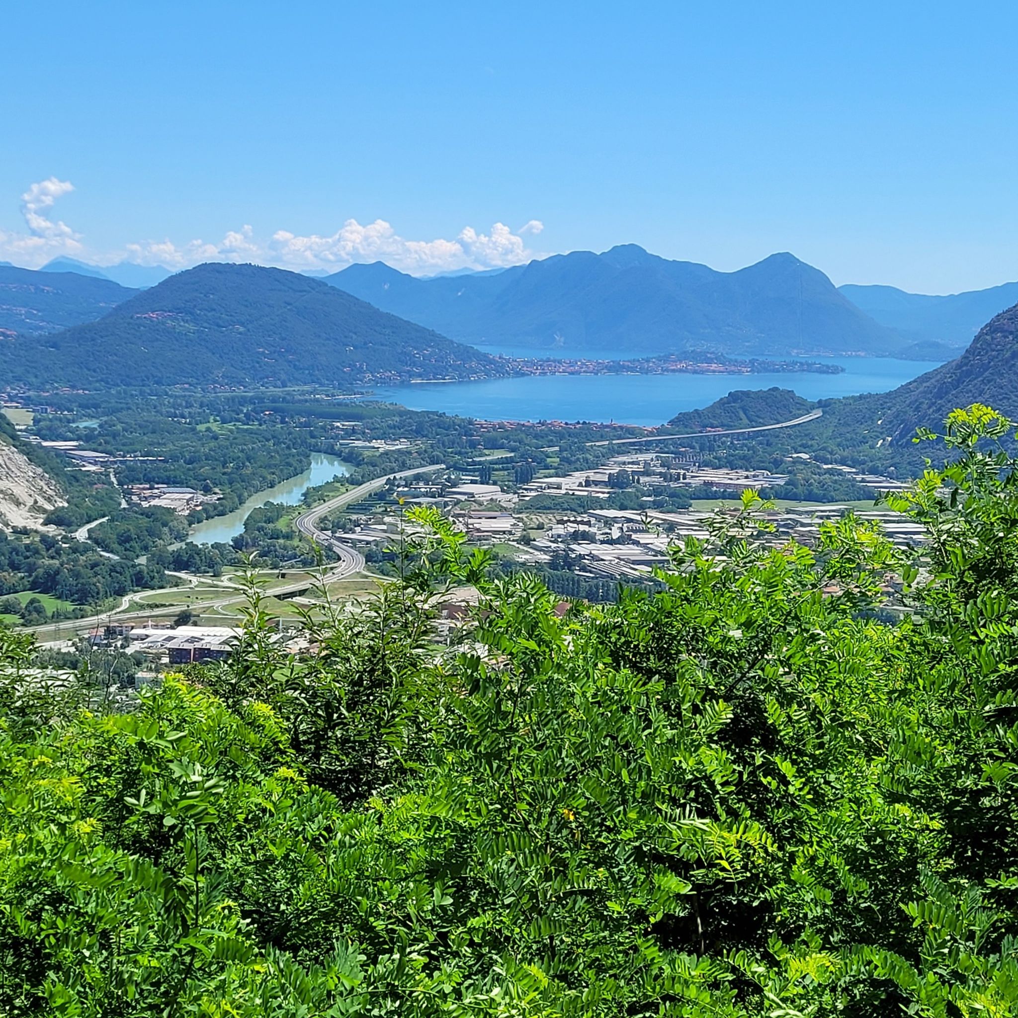
Beautiful view of the various lakes surrounding Lake Maggiore
0
0
Frequently Asked Questions
How many mountaineering routes are available around Gravellona Toce?
There are over 10 mountaineering routes around Gravellona Toce, offering a variety of experiences. These include 6 moderate and 6 difficult options, catering to different skill levels.
What is the best time of year for mountaineering in Gravellona Toce?
The best time for mountaineering in Gravellona Toce is typically from late spring through early autumn (May to October). During these months, the weather is generally more stable, and trails are clear of snow, offering optimal conditions for exploring the Alps and Val Grande National Park. Some lower-altitude trails, like the Toce Trail, are pleasant in spring and late summer.
Are there any circular mountaineering routes in the area?
Yes, several routes are designed as loops, allowing you to start and end at the same point. For example, the Scenic viewpoint – View of Montorfano loop from Riserva Naturale del Fondo Toce is a moderate 9.2 km route with over 540 meters of elevation gain, offering scenic views.
What natural attractions can I explore near the mountaineering routes?
Gravellona Toce is surrounded by diverse natural beauty. You can explore the dramatic gorges of the Orridi di Uriezzo, or venture into the vast wilderness of Val Grande National Park. The region is also close to the serene Lake Mergozzo and the larger Lake Maggiore, offering additional outdoor activities beyond mountaineering.
Are there any notable viewpoints or landmarks along the trails?
Yes, many routes offer stunning vistas. For instance, the View from Mottarone Summit provides panoramic views. You can also find the Belvedere of Alpe Celle, which is another excellent viewpoint. The Madonna del Boden Sanctuary near Ornavasso also offers rewarding views after a hike.
Are there challenging routes for experienced mountaineers?
Absolutely. Gravellona Toce offers 6 difficult mountaineering routes. An example is the Americans' Quarry – View of Isola Madre loop from Baveno, an 8.4 km path with over 680 meters of elevation gain, known for its rugged terrain.
What do other mountaineers say about the routes in Gravellona Toce?
The mountaineering routes around Gravellona Toce are highly rated by the komoot community, with an average score of 4.7 stars from over 80 reviews. Users frequently praise the varied terrain, from rocky peaks to alpine meadows, and the well-maintained paths that offer both challenging climbs and rewarding views.
Is public transport available to access mountaineering areas?
While direct public transport to all trailheads might be limited, Gravellona Toce serves as a base. For example, the Mottarone resort, accessible via cable car from Stresa (on Lake Maggiore), offers access to higher-altitude trails. Checking local bus schedules for connections to smaller towns near trailheads is advisable.
Are there any specific permits required for mountaineering, especially in Val Grande National Park?
Val Grande National Park, known as Europe's largest wilderness, generally allows free access for hiking and mountaineering. However, for specific activities or extended stays in certain protected zones, it's always recommended to check the official Val Grande National Park website for any updated regulations or permit requirements, especially concerning camping or fire use.
Can I bring my dog on the mountaineering trails?
Many trails in the Gravellona Toce region, particularly those outside strictly protected areas, are dog-friendly. However, within Val Grande National Park, there might be specific rules regarding dogs, especially concerning wildlife protection. Always keep dogs on a leash and ensure they are well-behaved, and check local signage or park regulations for specific restrictions on individual trails.
What kind of wildlife might I encounter while mountaineering in this region?
The diverse landscapes, especially within Val Grande National Park, are home to a variety of wildlife. Mountaineers might spot chamois, deer, and various bird species, including eagles. The unspoiled nature of the park provides a habitat for many animals, making wildlife observation a rewarding part of the experience.
Are there any moderate routes suitable for those looking for a less strenuous climb?
Yes, there are 6 moderate routes available. A good option is the Montorfano Ammunition Depot – Scenic viewpoint loop from Gravellona Toce, an 8.3 km trail with about 400 meters of elevation gain, offering panoramic views without extreme difficulty.
Most popular routes around Gravellona Toce
Most popular attractions around Gravellona Toce

Get inspired with the komoot mobile app


Explore more
Browse the best Mountain Hikes & Routes in other regions.
