The 20 Most Amazing Peaks around Cavaglio-Spoccia
Mountain peaks around Cavaglio-Spoccia offer diverse hiking experiences in the Valle Cannobina. This area provides access to several notable summits, with many tours originating from the village. Cavaglio-Spoccia is also located near the Val Grande National Park, known as Italy's largest wilderness area. The region features a variety of mountain trails suitable for different skill levels.
Best mountain peaks around Cavaglio-Spoccia
- The most popular mountain peak is Pizzo Leone Summit, a summit that offers a great view, with Lake…
Last updated: October 10, 2026
Pizzo Leone Summit
Highlight • Summit
Translated by Google •
Tip by

Monte Verità Gardens and Tea Plantation
Highlight • Natural
Translated by Google •
Tip by

Sign up now to discover places like this
Get recommendations on the best single tracks, peaks, & plenty of other exciting outdoor places.
Rasa
Highlight • Settlement
Translated by Google •
Tip by

Marco Pantani Pass (Scopello Pass)
Highlight • Mountain Pass
Translated by Google •
Tip by

Cima di Morissolo — summit crosses and view of Lake Maggiore
Highlight • Summit
Translated by Google •
Tip by

Sign up for free to discover even more peaks around Cavaglio-Spoccia.
Already have an account?
Start today with a free account
Your next adventure awaits.

Tips from the Community

The cable car to and from Rasa is currently being renovated and is not in operation for tourists.
0
0

Wonderful to ride through the Valley Cannobbina - grab a coffee in Finero
0
0

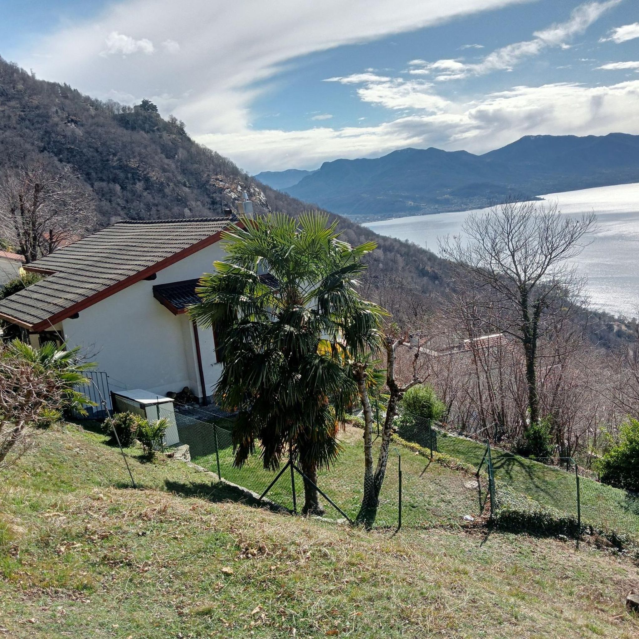
Rasa is a tiny mountain village in the Centovalli, accessible only on foot or by cable car from Verdasio. At an altitude of approximately 900 meters, it nestles on sunny slopes. Narrow streets, old stone houses, and a quiet piazza lend the village a special charm. Rasa is considered a car-free paradise.
4
0

Beautiful passage with little traffic and asphalt in good condition.
21
0

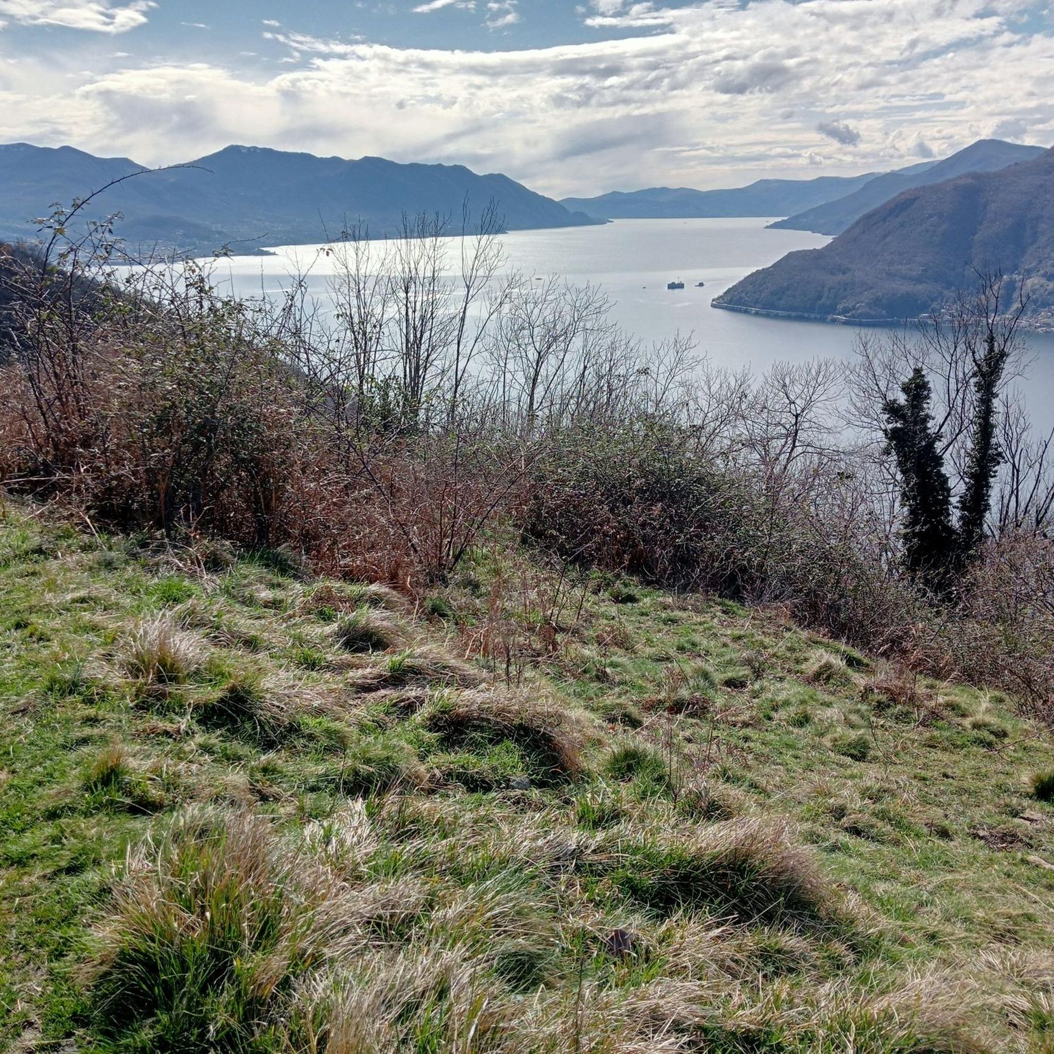
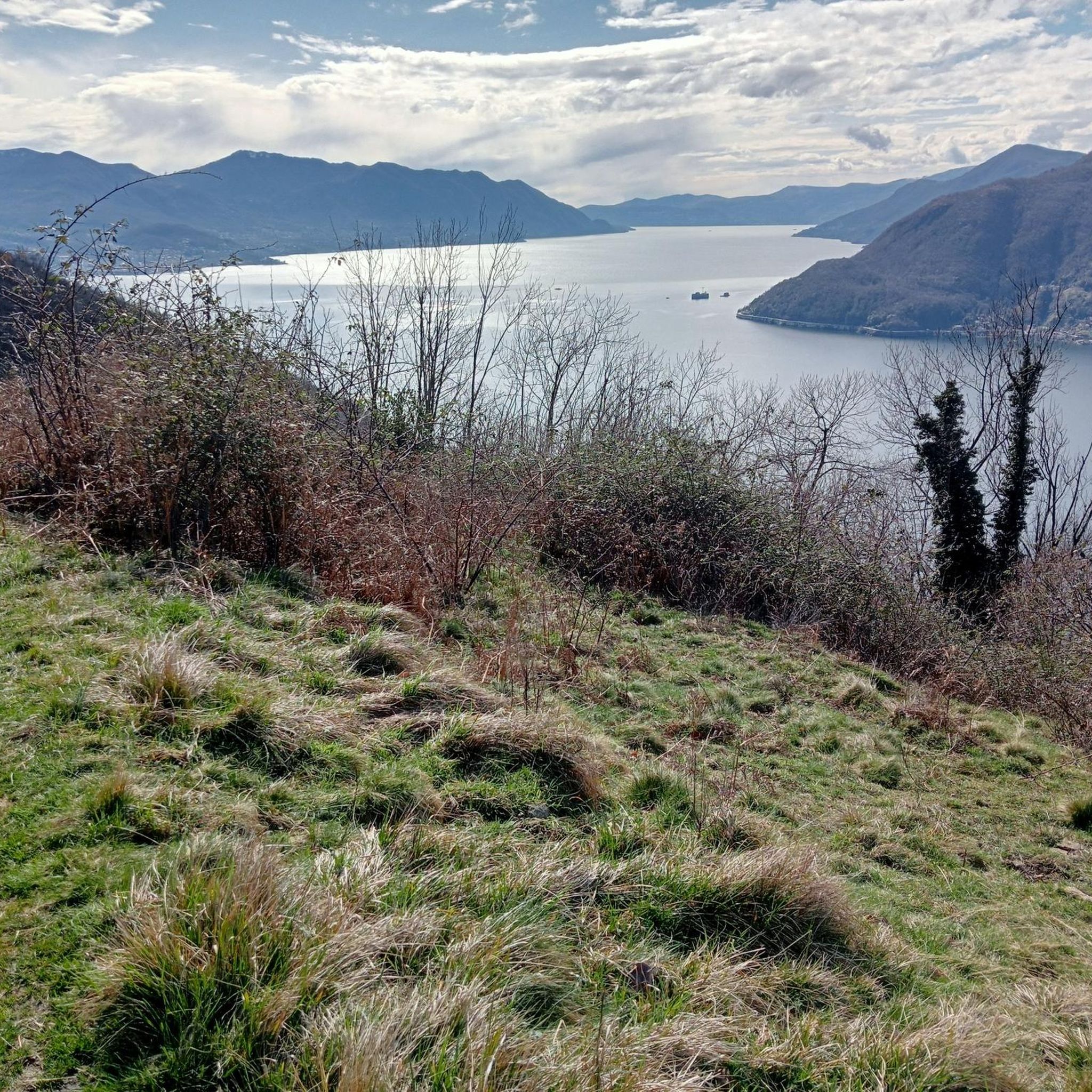
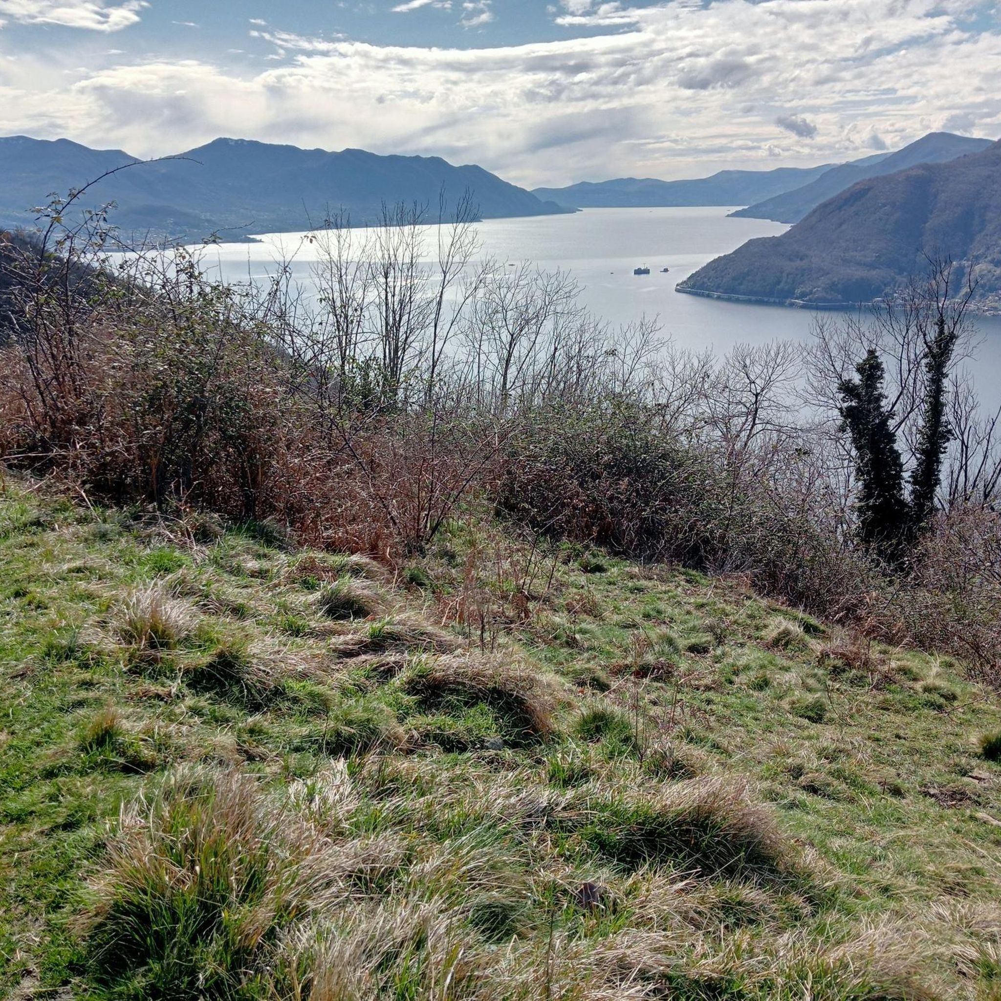
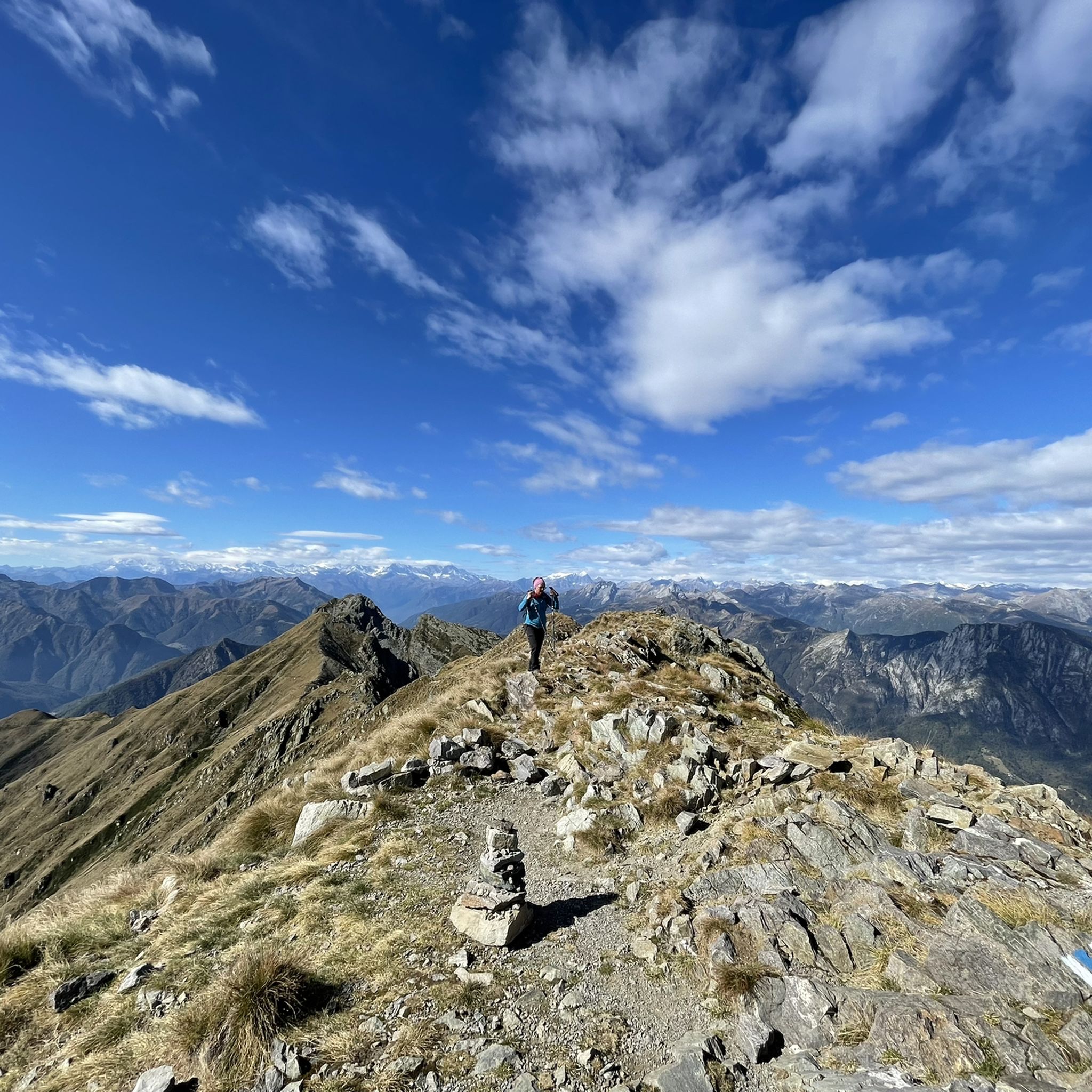
Pizzo Leone (1659 m) is considered the guardian of the "Ghridone". Good destination in all seasons but late spring and autumn are ideal. Magnificent view of Lake Maggiore, the Pre-Alps and the Alps.
0
0

The Scopello pass is located at 970 meters above sea level and connects Cannobio, on Lake Maggiore, with Santa Maria Maggiore and the Vigezzo valley. The top of the pass is dedicated to the cyclist Marco Pantani.
2
0

as a souvenir from the Magico Pantani Fanclub Cannobio
0
0

Frequently Asked Questions
Which mountain peaks offer the best views around Cavaglio-Spoccia?
For truly magnificent views, consider climbing Pizzo Leone Summit. From its peak, Lake Maggiore is directly below, and you can enjoy impressive vistas of the Pre-Alps and the Alps. Monte Gridone also offers impressive views, reaching around 2000 meters above Lake Maggiore.
Are there challenging mountain hikes near Cavaglio-Spoccia?
Yes, the region offers several challenging hikes. For instance, a strenuous 15.8 km loop from Spoccia to the Monte Gridone Summit (Monte Limidario Summit) involves a 1,370-meter elevation gain and takes approximately 7 hours and 45 minutes. This challenging, rocky, and stepped climb rewards hikers with magnificent views. Hiking poles are recommended due to loose stones and large steps. You can find more challenging routes like the Monte Limidario Summit (2,189 m) loop from Bosco Sacro di Mergugno on the Mountain Hikes around Cavaglio-Spoccia guide.
What kind of natural features can I expect to see on the mountain peaks?
The mountain peaks around Cavaglio-Spoccia are part of a rich natural landscape. You'll encounter dense woods, canyons, and precipices, especially within the nearby Val Grande National Park. The park boasts a diverse botanical heritage, including various trees like chestnut, yew, alder, fir, and beech, as well as rare flowers such as Alpine columbine and Alpine tulip. Fauna includes chamois, deer, roe deer, fox, badger, and eagle.
Are there any family-friendly mountain walks in the area?
While many peaks offer challenging terrain, some areas might be more accessible. The Auressio Church highlight is categorized as family-friendly, suggesting that the surrounding village and its immediate trails could offer gentler options. For specific family-friendly routes, it's best to check individual trail descriptions for difficulty and length.
What is the best time of year to hike the mountain peaks around Cavaglio-Spoccia?
Late spring and autumn are generally ideal for hiking the mountain peaks in this region. For example, Pizzo Leone Summit is considered a good destination in all seasons, but late spring and autumn are particularly recommended for optimal conditions and views.
What is Val Grande National Park and how is it connected to Cavaglio-Spoccia?
Val Grande National Park is Italy's largest wilderness area, known for its untouched landscapes and rugged terrain. Cavaglio-Spoccia's proximity to the park means you have access to its 75 named peaks, including Monte Togano (2,301 m) and Monte Zeda (2,156 m). Hiking within the park can be challenging, requiring good fitness and alpine experience for harder routes.
Can I reach any mountain villages or viewpoints by public transport?
Yes, the idyllic mountain village of Rasa, located at around 900 meters, is car-free and accessible only on foot or by cable car from Verdasio. The cable car operates at specific times, offering a unique way to reach this charming spot and its surrounding trails.
What historical sites are near the mountain peaks?
The region holds historical significance, particularly within Val Grande National Park, where you can find traces of human presence like rock incisions, abandoned shelters, and old military fortifications. The village of Auressio, with its Auressio Church, also has a rich history dating back to 1233, including an uprising in the Onsernone Valley in 1800.
Are there any specific mountain passes worth visiting?
Yes, the Marco Pantani Pass (Scopello Pass) is a notable mountain pass located at 970 meters above sea level. It connects Cannobio with Santa Maria Maggiore and the Vigezzo valley, offering a beautiful passage with good asphalt conditions, and is dedicated to the cyclist Marco Pantani.
What kind of hiking routes are available near Cavaglio-Spoccia?
You'll find a variety of hiking routes, from moderate to difficult. Examples include the 'Gumpen Bathing Area – Rio Orasso Gorge loop from Spoccia' (moderate) and the 'Monte Gridone Summit – Monte Limidario Summit loop from Spoccia' (difficult). For a comprehensive list of options, refer to the Hiking around Cavaglio-Spoccia guide.
What do visitors enjoy most about the mountain peaks around Cavaglio-Spoccia?
Visitors frequently highlight the magnificent views, especially from peaks like Pizzo Leone Summit, where Lake Maggiore is visible directly below. The challenging yet rewarding climbs, the deeply relaxing experience at the summits, and the untouched wilderness of Val Grande National Park are also highly appreciated.
Are there any moderate difficulty mountain peaks to hike from Cavaglio-Spoccia?
Yes, Monte Zuccaro is listed as a moderate-difficulty hike from Cavaglio-Spoccia, suggesting it offers accessible yet rewarding trails for those looking for a less strenuous option than some of the more challenging summits.
Most popular routes around Cavaglio-Spoccia
Most popular attractions around Cavaglio-Spoccia

Get inspired with the komoot mobile app


Explore more
See even more amazing summits around Cavaglio-Spoccia with these guides:
