The best walks and hikes around Cesara
4.4
(3810)
15,036
hikers
14
hikes
Hiking around Cesara, Italy, offers diverse trails within a mountainous setting, characterized by extensive woodlands and proximity to Lake Orta. The region, part of Piedmont, features varied alpine landscapes and provides panoramic views from several vantage points. This environment is suitable for outdoor activities, ranging from moderate walks to more challenging routes.
Best hiking trails around Cesara
- The most popular hiking route is T30: Cesara - Monte Novesso Trail, a 5.3 miles (8.5 km) moderate trail that takes 3…
Last updated: October 10, 2026
4.5
(2)
8
hikers
8.53km
03:06
550m
550m
Hike the T30: Cesara - Monte Novesso Trail, a moderate 5.3-mile route with 1803 feet of gain and panoramic views from the summit.
4.6
(42)
117
hikers
9.50km
03:03
320m
320m
Moderate hike. Good fitness required. Mostly accessible paths. Sure-footedness required.

5.0
(7)
39
hikers
9.81km
03:10
430m
430m
Moderate hike. Good fitness required. Easily-accessible paths. Suitable for all skill levels.
4.5
(4)
15
hikers
7.26km
02:14
260m
260m
Moderate hike. Good fitness required. Easily-accessible paths. Suitable for all skill levels.
3.3
(7)
21
hikers
3.76km
01:42
270m
270m
Moderate hike. Great for any fitness level. Mostly accessible paths. Sure-footedness required.
Get access to more routes and recommendations from other explorers.
Already have an account?
Our route recommendations are based on thousands of hikes, rides, and runs completed by other people on komoot.
Start today with a free account
Your next adventure awaits.

Tips from the Community

Sentiero degli Elfi
6
0

Beautiful, tiny and very cute village! The descent/climb from the upper road to the lake shore (ferry landing stage) is quite tough. Must see!
0
0

The sella dei due Faggi is an excellent junction point between various paths. In recent weeks, the T30 path in the direction of Cesara has been cleaned in particular.
0
0
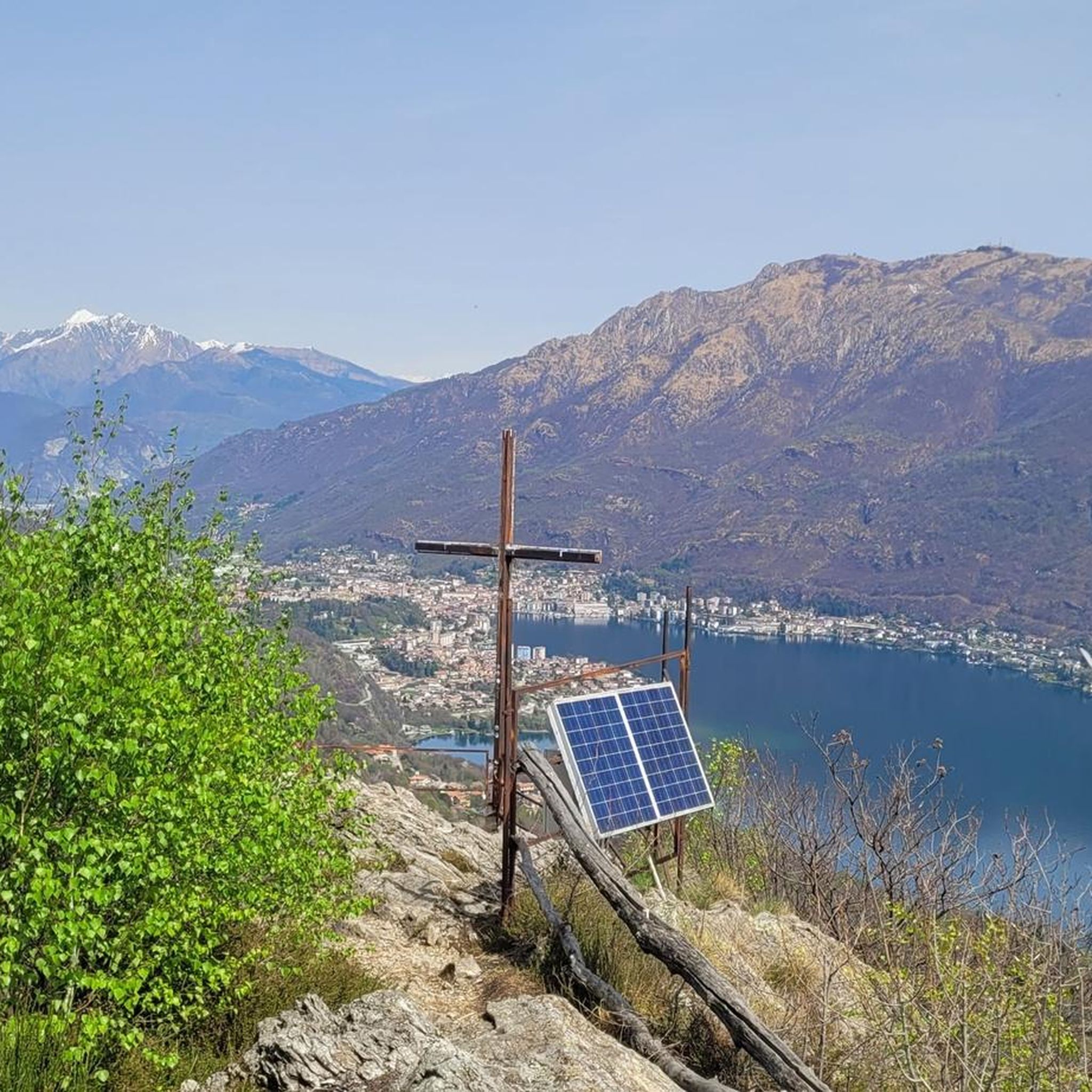
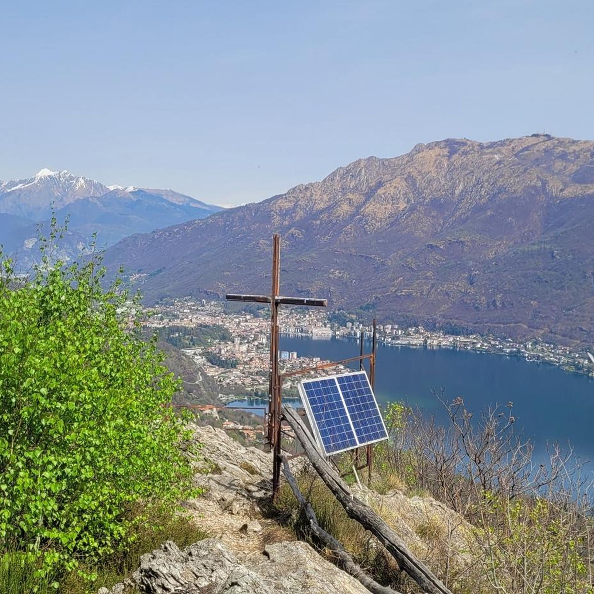
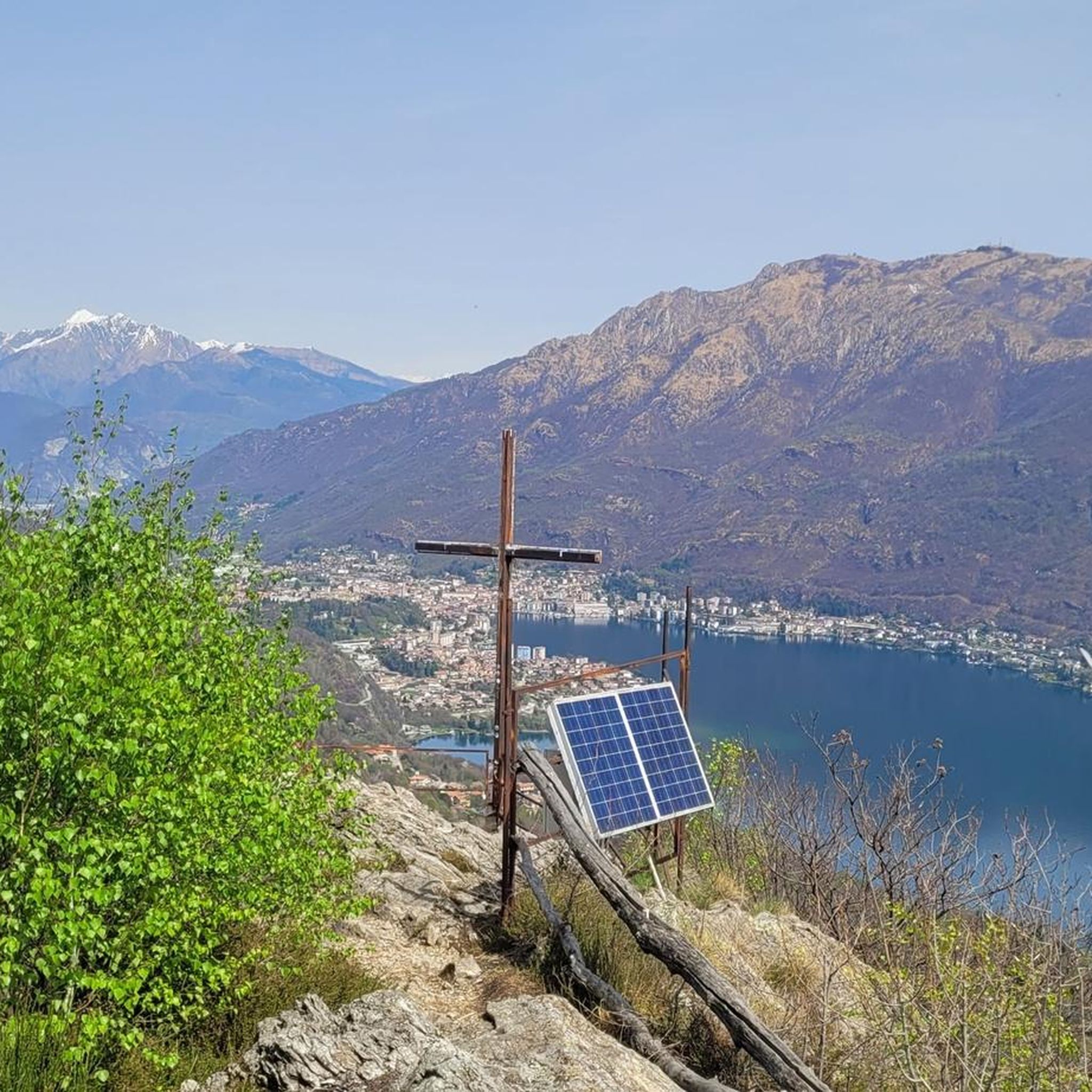
A few meters from the Croce di Nonio, a little more "hidden", there is also the Croce di Cesara. The Croce di Cesara allows us to focus our view on the southern part of Lake Orta
1
0
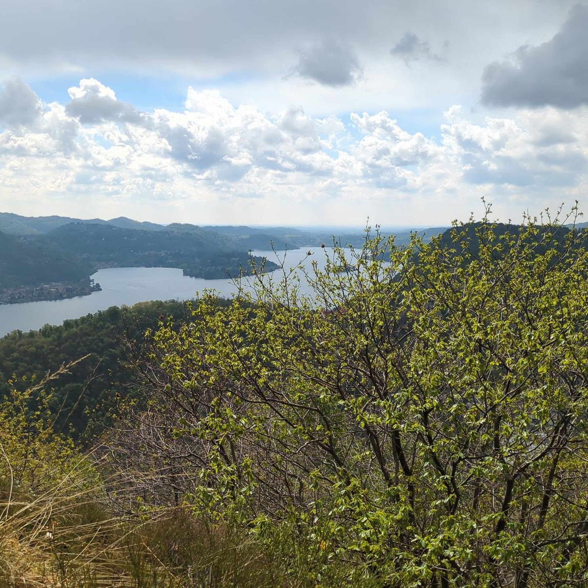
Panoramic location located about halfway along the western shore of Lake Orta
0
1

Connecting path between Nonio and Cesara
0
0
Municipality in the province of VB at an altitude of 490m above sea level
0
0
Pass in the municipality of Cesara at an altitude of 1080m above sea level
0
0
Frequently Asked Questions
How many hiking trails are available around Cesara?
Cesara offers a variety of hiking opportunities with 15 distinct trails listed on komoot. These routes cater to different preferences, ranging from easy walks to more challenging ascents through the mountainous terrain and lush forests.
What is the general difficulty level of hikes in Cesara?
The trails around Cesara offer a good mix for various fitness levels. You'll find 3 easy routes perfect for a relaxed stroll, 9 moderate trails that provide a good workout, and 3 more difficult options for experienced hikers seeking a challenge.
What do other hikers say about the trails in Cesara?
The hiking routes in Cesara are highly regarded by the komoot community, boasting an impressive average rating of 4.5 stars from over 3,300 reviews. Hikers frequently praise the area's stunning natural beauty, the tranquility of the forests, and the panoramic views, especially those overlooking Lake Orta.
What kind of landscape can I expect while hiking around Cesara?
Hiking around Cesara immerses you in a picturesque mountainous landscape, characterized by extensive woodlands and serene views of Lake Orta. The region, part of Italy's Piedmont, offers diverse alpine scenery, from tranquil forest paths to elevated viewpoints providing expansive panoramas.
Are there any easy hiking routes suitable for beginners in Cesara?
Yes, Cesara has several easy routes ideal for beginners or those looking for a gentle walk. While specific easy routes are not highlighted in the top three, the overall network includes options suitable for all fitness levels. These trails typically feature less elevation gain and shorter distances, allowing you to enjoy the natural beauty without significant exertion.
Can I find circular hiking routes in Cesara?
Absolutely. Cesara offers several enjoyable circular routes. For example, the Cesara – Croce di Cesara Viewpoint loop from Cesara is a moderate 9.7 km path with scenic outlooks. Another popular option is the Egro Cross – Egro Village loop from Cesara, a 7.3 km trail through varied terrain. The Saddle of the Two Beeches – Church of Cesara loop from Cesara is a longer 11.8 km moderate hike.
Which trails offer the best panoramic views of Lake Orta or the surrounding area?
For breathtaking views, consider the T30: Cesara - Monte Novesso Trail, which offers extensive views from its summit. The Cesara – Croce di Cesara Viewpoint loop from Cesara also provides scenic outlooks over the surrounding landscape, including glimpses of Lake Orta.
What are the typical durations for hikes around Cesara?
Hike durations in Cesara vary depending on the route and your pace. Moderate trails like the T30: Cesara - Monte Novesso Trail typically take around 3 hours. Shorter loops, such as the Egro Cross – Egro Village loop from Cesara, can be completed in about 2 hours 15 minutes, while longer routes like the Saddle of the Two Beeches – Church of Cesara loop from Cesara might take closer to 4 hours 45 minutes.
Are there any interesting landmarks or attractions near the hiking trails in Cesara?
Yes, the area around Cesara is rich in cultural and natural landmarks. You can visit the UNESCO World Heritage site of Sacro Monte of Orta, known for its chapels immersed in nature. Other notable points include the Santuario Madonna del Sasso and various mountain peaks like Bec d'Ovaga, offering additional exploration opportunities.
What is the best time of year to go hiking in Cesara?
The Piedmont region, including Cesara, is generally beautiful for hiking from spring through autumn. Spring offers lush greenery and blooming flowers, while autumn provides vibrant foliage. Summer is also popular, though some higher elevation trails might be warmer. Winter hiking is possible, but conditions can be challenging with snow and ice, requiring appropriate gear and experience.
Are dogs allowed on the hiking trails in Cesara?
Generally, dogs are welcome on hiking trails in the Piedmont region, including around Cesara. However, it's always advisable to keep them on a leash, especially in nature reserves or areas with livestock, and to clean up after them. Check local signage for any specific restrictions on individual trails.
Are the hiking trails around Cesara suitable for families?
Yes, many trails around Cesara are suitable for families, especially the easier and moderate routes. The extensive woodlands and picturesque views provide an engaging environment for children. Consider shorter circular routes or those with less elevation gain for a more comfortable family outing. Always check the specific trail details for distance and difficulty to match your family's capabilities.
Where can I find parking for hiking trails in Cesara?
Parking is typically available in or near the village of Cesara itself, which often serves as a starting point for many routes. For trails beginning outside the main village, look for designated parking areas near trailheads or in smaller hamlets. It's recommended to check maps or local information for specific parking locations before you set out.
Most popular attractions around Cesara

Get inspired with the komoot mobile app


Explore more
Browse the best Hikes in other regions.
