Top 9 Mountain Passes around Rimasco
Best mountain passes around Rimasco, an alpine village in Italy's Valsesia region, offer numerous high-altitude crossings. The area is characterized by its natural beauty, with trails leading to cols and saddles that connect valleys. These routes provide access to expansive views and diverse alpine landscapes. Rimasco and its surroundings are a destination for exploring mountain features and experiencing the high mountains.
Best mountain passes around Rimasco
- The most popular mountain passes is Colle del Turlo (2738 m), a mountain pass that connects the Val Quarazza with the upper Sesia valley. This pass is part of the Monte Rosa Tour and was historically a fundamental link for commercial and migratory purposes.
- Another must-see spot is Bocchetta delle Pisse, a mountain pass with Lake Corno. This crossing point is a junction from which routes descend towards Alagna or the Pianalunga descent.
- Visitors also love Passo del Gatto, a mountain pass that serves as a reference point for the ascent to Tagliaferro. From here, the ascent becomes stony and requires surefootedness.
- Rimasco is known for mountain passes, cols, and bocchettas. The region offers a variety of high-altitude crossings to see and explore.
- The mountain passes around Rimasco are appreciated by the komoot community, with 21 upvotes and 27 photos shared by visitors.
Last updated: July 10, 2026
Colle del Turlo (2738 m)
Highlight • Mountain Pass
The cart track was created between 1925 and 1931 by a military regiment. Historically, it has been a fundamental link with the Anzasca Valley, used in the past for both commercial and migratory purposes. It is said that the Walser settlers who founded the first settlements in Alagna passed through here between the 13th and 14th centuries. The name is curious because in the Walser language "Türli" means "small door".
Although the terrain is steep, the rocky trail is well maintained and not very technical.
Translated by Google •
Tip by

Colle d'Egua
Highlight • Mountain Pass
Translated by Google •
Tip by
Sign up now to discover places like this
Get recommendations on the best single tracks, peaks, & plenty of other exciting outdoor places.
Sign up for free
Bocchetta delle Pisse
Highlight • Mountain Pass
Translated by Google •
Tip by

Passo del Gatto
Highlight • Mountain Pass
Translated by Google •
Tip by
View of Torrente Anza and the Macugnaga Mountains
Highlight • Viewpoint
Translated by Google •
Tip by

Sign up for free to discover even more mountain passes around Rimasco.
Sign up for free
Already have an account?
Start today with a free account
Your next adventure awaits.
Login or Signup
Tips from the Community

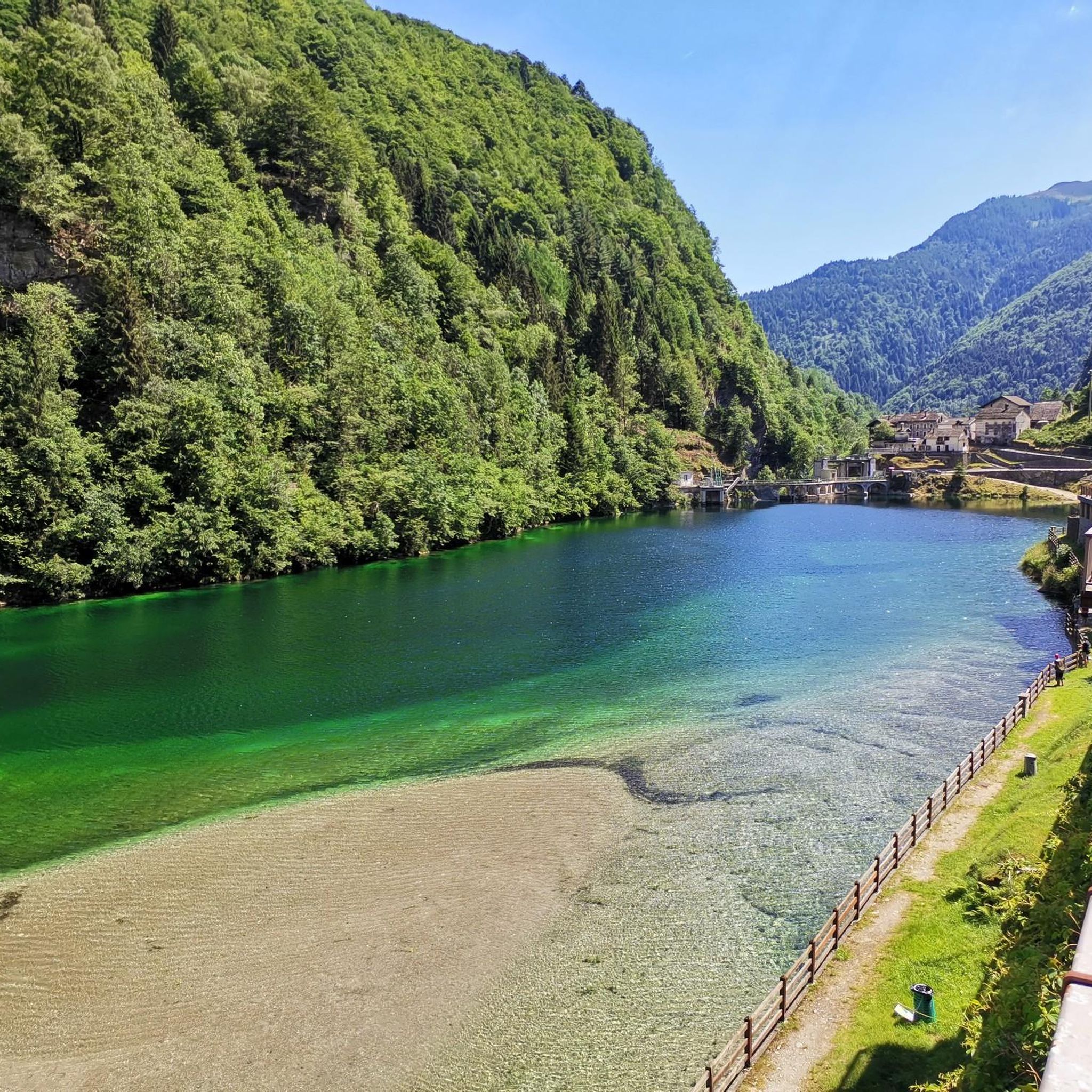
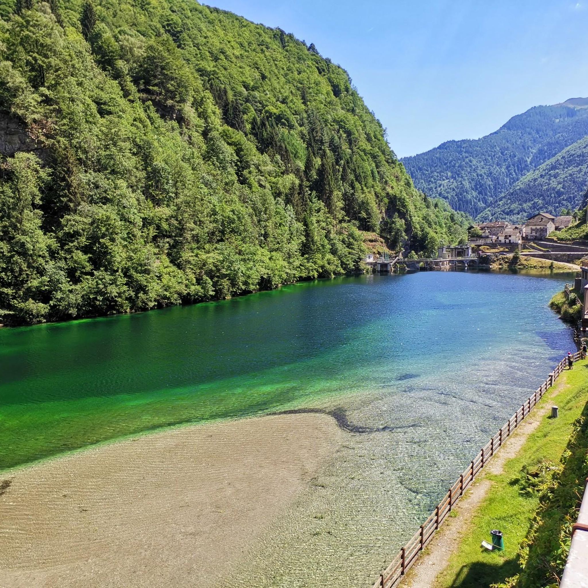
Beautiful combined views over the river and surrounding mountain landscape both up and down the mountain
0
0

Mandatory passage for the ascent to Tagliaferro and to be used as a reference. From here the ascent to the mountain becomes stony and requires surefootedness.
1
0
Very beautiful crossing point and junction in the presence of the Corno Lakes. From here you can descend towards Alagna along the paths of the Stofful Superiore and Inferiore mountain pastures, or towards the classic Pianalunga descent.
1
1
Pass connecting Valle Barranca, Valsesia and Valle Anzasca. Suggestive step in a very fascinating wild area.
0
0
Beautiful pass with Lake Corno, difficult climb and route not for everyone. Excellent training and good driving skills are required.
2
0

The Turlo hill is located at an altitude of 2,738 metres, between the Corno Piglimò to the south and the Corni di Faller to the north, connecting the Quarazza valley with the upper Sesia valley. The pass path connects the two centers of Walser origin of Alagna and Macugnaga and is an important part of the Monte Rosa Tour. The cart track was created between 1925 and 1931 by a military regiment. Historically, it has been a fundamental link with the Anzasca Valley, used in the past for both commercial and migratory purposes. It is said that the Walser settlers who founded the first settlements in Alagna passed through here between the 13th and 14th centuries. The name is curious because in the Walser language "Türli" means "small door". Although the terrain is steep, the rocky trail is well maintained and not very technical.
4
0

Prime location to look forward to. Enjoy the beautiful 360° panoramic views. At an altitude of 2,239 meters, this is your reward for standing here.
3
0
Colle d'Egua, at 2,239 meters above sea level, is a connection between Fobello and Carcoforo, known for the magnificent panorama it offers on Monte Rosa, which here exhibits all its peaks exceeding 4,000 metres. In this area there is also a bivouac that bears the same name as the hill. The surrounding trails vary between easy and technical sections, but most of them are suitable for running. The shortest route to reach this splendid panorama is from Carcoforo, but it is also possible to take a longer itinerary starting from Ceppo Morelli.
6
0
Frequently Asked Questions
What natural features can I expect to see when exploring mountain passes near Rimasco?
The mountain passes around Rimasco offer diverse natural beauty. For instance, Bocchetta delle Pisse features the beautiful Lake Corno. From Colle d'Egua, you can enjoy magnificent panoramic views of Monte Rosa and its peaks. Many routes traverse deciduous and conifer forests, blooming rhododendrons, and offer glimpses of the Egua stream and the Monte Rosa massif, especially on trails leading to Alpe Campo and Siunal.
Are there any historical aspects to the mountain passes in the Rimasco region?
Yes, some passes hold significant historical value. Colle del Turlo (2738 m), for example, was historically a fundamental link for commercial and migratory purposes, connecting the Val Quarazza with the upper Sesia valley. It's part of the Monte Rosa Tour, and it's believed that Walser settlers used this pass between the 13th and 14th centuries.
Are there family-friendly mountain passes or activities near Rimasco?
While many passes offer challenging treks, the trail to Alpe Campo and Siunal from Rimasco is described as medium to easy, making it suitable for families. At Pian della Ratta, you'll find the Alpe Campo Refuge and a fun summer bobsleigh. The Rimasco–Pian della Ratta double chairlift also offers breathtaking views and an accessible way to experience the alpine scenery.
What kind of hiking trails are available near Rimasco's mountain passes?
The Rimasco area offers a variety of hiking experiences. You can find trails ranging from moderate to difficult, including sections of the Grand Traverse of the Alps (GTA). For example, the route from Rima to Carcoforo via Colle del Termo is a challenging hike. Many trails offer stunning alpine scenery and connect villages. You can explore more options in the Hiking around Rimasco guide.
What is the best time of year to visit the mountain passes around Rimasco?
The best time to visit is generally during the warmer months, from late spring to early autumn, when trails are clear of snow and weather conditions are more stable. This allows for comfortable hiking and enjoying the blooming rhododendrons and lush alpine landscapes. Always check local weather conditions before heading out.
Are there options for more challenging alpine treks in the Rimasco area?
Absolutely. For experienced hikers seeking strenuous trails and unspoiled alpine nature, areas like Bocchetta della Moanda in the Nonay valley offer challenging excursions. The route to Colle del Termo via the GTA from Rima to Carcoforo is also a demanding hike, covering over 10 km with significant elevation changes. Passo del Gatto is a reference point for the ascent to Tagliaferro, which becomes stony and requires surefootedness.
Can I find places to eat or rest near the mountain passes?
Yes, some routes offer facilities. For instance, the Alpe Campo Refuge is located at Pian della Ratta, along the trail from Rimasco to Alpe Campo and Siunal, providing a place for rest and local cuisine. Additionally, a bivouac bears the same name as Colle d'Egua, offering shelter for trekkers.
What are some less-known or 'hidden gem' mountain passes to explore near Rimasco?
While not widely named 'passes' in the traditional sense, the region offers several 'cols' and 'bocchettas' that serve as high-altitude crossings. Bocchetta della Moanda, situated in the Nonay valley near Rima, is a starting point for fascinating alpine hikes amidst beautiful peaks like Carnera, Mud, and Cima Lampone, offering solitude and dramatic landscapes for those willing to explore off the main routes.
What outdoor activities, besides hiking, can I do near these mountain passes?
Beyond hiking, the Rimasco area offers opportunities for running and exploring waterfalls. You can find various running trails, some of which pass near or through mountain terrain. For more details, check out the Running Trails around Rimasco guide. There are also beautiful waterfall hikes in the vicinity.
How can I access the mountain passes around Rimasco, particularly regarding parking or public transport?
Access often involves reaching villages like Rimasco, Carcoforo, or Rima San Giuseppe. From Rimasco, you can take the double chairlift to Pian della Ratta for easier access to higher trails. While specific parking details for each trailhead are not provided, these villages typically serve as starting points for many routes. Public transport options might be limited, so checking local bus schedules for Valsesia is advisable.
What should I wear for hiking mountain passes in Rimasco during autumn?
Autumn in the Rimasco mountain passes can bring variable weather. It's recommended to wear layers, including moisture-wicking base layers, insulating mid-layers, and a waterproof and windproof outer shell. Sturdy hiking boots with good ankle support are essential, along with a hat, gloves, and warm socks. Be prepared for cooler temperatures, especially at higher altitudes, and potential rain or early snow.
Are there any specific safety considerations for winter hiking in the Rimasco mountain passes?
Winter hiking in the Rimasco mountain passes requires significant preparation and caution. Trails can be covered in snow and ice, increasing difficulty and avalanche risk. It's crucial to have appropriate winter gear, including snowshoes or crampons, an ice axe, and avalanche safety equipment. Always check current weather and snow conditions, inform someone of your itinerary, and consider hiring a local guide for challenging winter routes.
What do visitors particularly enjoy about the mountain passes in the Rimasco region?
Visitors to the Rimasco mountain passes highly appreciate the magnificent panoramic views, especially of Monte Rosa, and the true alpine trekking experience. The sense of solitude amidst dramatic landscapes, the challenge of the climbs, and the opportunity to connect with nature are frequently mentioned. The presence of features like Lake Corno and historical routes also adds to the appeal.
Most popular attractions around Rimasco

Get inspired with the komoot mobile app


Explore more
See even more epic mountain passes by checking out these guides around Rimasco:
