The best walks and hikes around Maglione
4.5
(863)
3,745
hikers
179
hikes
Hiking around Maglione offers diverse natural beauty within the Metropolitan City of Turin, Piedmont. The region features landscapes shaped by glacial activity, including serene lakes and picturesque woods. Hikers can explore varied terrain, from vineyard landscapes to areas with historical sites like the Sanctuary of Santa Maria della Cella. This blend of natural and cultural elements provides a tranquil setting for outdoor exploration.
Best hiking trails around Maglione
- The most popular hiking route is MoncriVilla Blue Trail, a 5.7…
Last updated: July 9, 2026
6
hikers
9.15km
02:28
120m
120m
Moderate hike. Good fitness required. Easily-accessible paths. Suitable for all skill levels.
5.0
(1)
3
hikers
16.7km
04:36
290m
290m
Moderate hike. Good fitness required. Easily-accessible paths. Suitable for all skill levels.

Sign up for free
2
hikers
14.4km
03:54
190m
190m
Moderate hike. Good fitness required. Easily-accessible paths. Suitable for all skill levels.
11.9km
03:13
150m
150m
Moderate hike. Good fitness required. Easily-accessible paths. Suitable for all skill levels.
4.5
(8)
28
hikers
7.33km
02:00
110m
110m
Moderate hike. Good fitness required. Easily-accessible paths. Suitable for all skill levels.
Get access to more routes and recommendations from other explorers.
Sign up for free
Already have an account?
Our route recommendations are based on thousands of hikes, rides, and runs completed by other people on komoot.
Start today with a free account
Your next adventure awaits.
Login or Signup
Tips from the Community

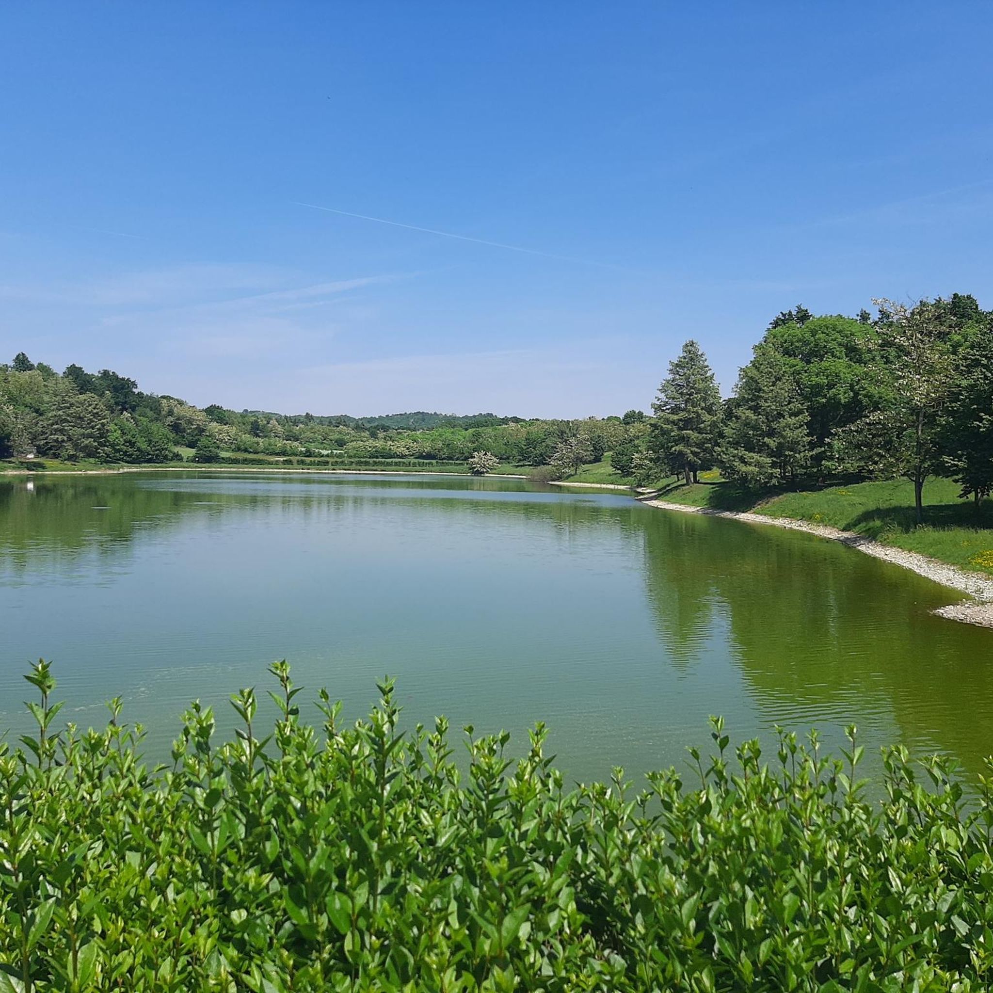
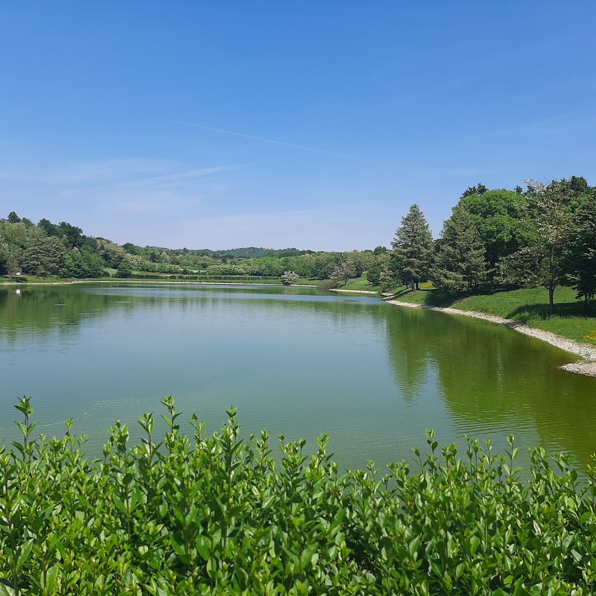
Fantastic views, paddling amidst nature between lakes and with the Alps in the background
0
0

Situated in a panoramic position a few metres from the church of San Martino, it is multicoloured, each representing a canton of the municipality, as explained on the information sign
0
0
A small church located in the hilly area and dating back to the 12th century, in an excellent state of preservation and located in a panoramic position, so much so that nearby they have installed the giant bench of la Vila (of the municipality of Villareggia)
0
0

These paths are truly suggestive, almost always cleaned by local bikers who go to the Villareggia mountain bike shop
0
0
I tried to make a tour that could include most of the trails on the Moncrivello hill. Although I did not pass by the Miralta sanctuary, undoubtedly the most famous building in that area, the trails are almost always very clean. About 3/4 of the way there is a short stretch with a ramp for a jump of a certain importance. I do not recommend it because the difference in height of the jump is considerable and you land in a stretch with an additional slope. But those who love jumping and are capable will have fun. However, next to the wooden ramp on the right side there are 2 simpler passages that can be done. Overall a very fun tour, for long stretches similar to xc routes.
0
0


SANCTUARY OF MIRALTA AND CHURCH OF SAN MARTINO, HILL FULL OF TRAILS FOR MTB ENTHUSIASTS
0
0
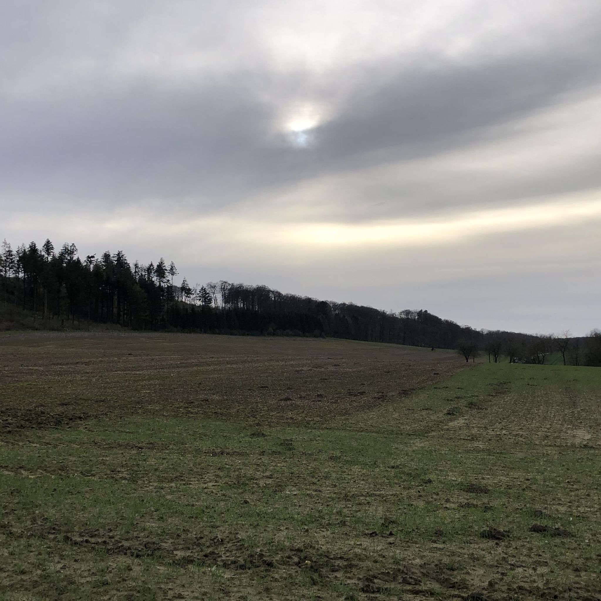
Here is what remains of an old abandoned church
0
0
Frequently Asked Questions
What types of hiking trails can I find around Maglione?
Maglione offers a diverse range of hiking trails, from easy walks to more challenging routes. You'll find paths winding through picturesque woods, serene glacial lake areas, and scenic vineyard landscapes. The region's terrain was shaped by glacial activity, providing varied and interesting exploration opportunities.
When is the best time of year to go hiking in Maglione?
The prime seasons for hiking around Maglione are spring and autumn. During these months, the temperatures are pleasant, and the natural landscapes, especially the vineyard areas, display vibrant colors, making for a particularly scenic experience.
Are there any easy hiking trails suitable for beginners or families in Maglione?
Yes, Maglione offers a good selection of easy trails. For instance, the Ornate Cottage in the Woods – Giant bench d'la Vila loop from Moncrivello is an easy 7.2 km route that takes just under 2 hours to complete, perfect for a relaxed outing. Overall, there are over 60 easy routes available in the area.
What kind of natural features or landmarks can I expect to see on a hike in Maglione?
Hikers in Maglione can discover a blend of natural beauty and historical sites. You'll encounter serene glacial lakes, picturesque woods, and vineyard landscapes. Notable historical landmarks include the Sanctuary of Santa Maria della Cella, a religious building nestled in the woods, and nearby ruins of an old monastery, offering a unique blend of nature and history.
Are there any dog-friendly hiking trails in Maglione?
Many trails around Maglione are suitable for hiking with dogs, allowing you to enjoy the natural beauty with your canine companion. It's always recommended to keep your dog on a leash, especially in areas with wildlife or near agricultural land, and to check local regulations for specific trails.
Can I find circular hiking routes in Maglione?
Yes, Maglione features several circular hiking routes that allow you to start and end your journey in the same location. These routes are ideal for exploring the diverse landscapes without needing to arrange return transport. You can find options ranging from easy to moderate difficulties.
What do other hikers say about the trails in Maglione?
The hiking trails around Maglione are highly regarded by the komoot community, boasting an average rating of 4.5 stars from over 700 reviews. Hikers often praise the tranquil atmosphere, the diverse natural beauty, and the blend of historical sites with scenic paths.
Are there any historical castles or viewpoints near the hiking trails in Maglione?
Yes, the region around Maglione is rich in historical sites. You can explore several castles such as Mazzè Castle, Roppolo Castle, and Viverone Castle-Ricetto. Additionally, you might find scenic viewpoints like the Panoramic view of the Dora Baltea, offering stunning vistas of the surrounding landscape.
How many hiking routes are available in the Maglione area?
There are over 170 hiking routes available around Maglione, catering to various skill levels. This includes approximately 68 easy routes, 98 moderate routes, and a few more challenging options, ensuring there's a trail for every hiker.
Are there any trails that showcase the vineyard landscapes of Piedmont?
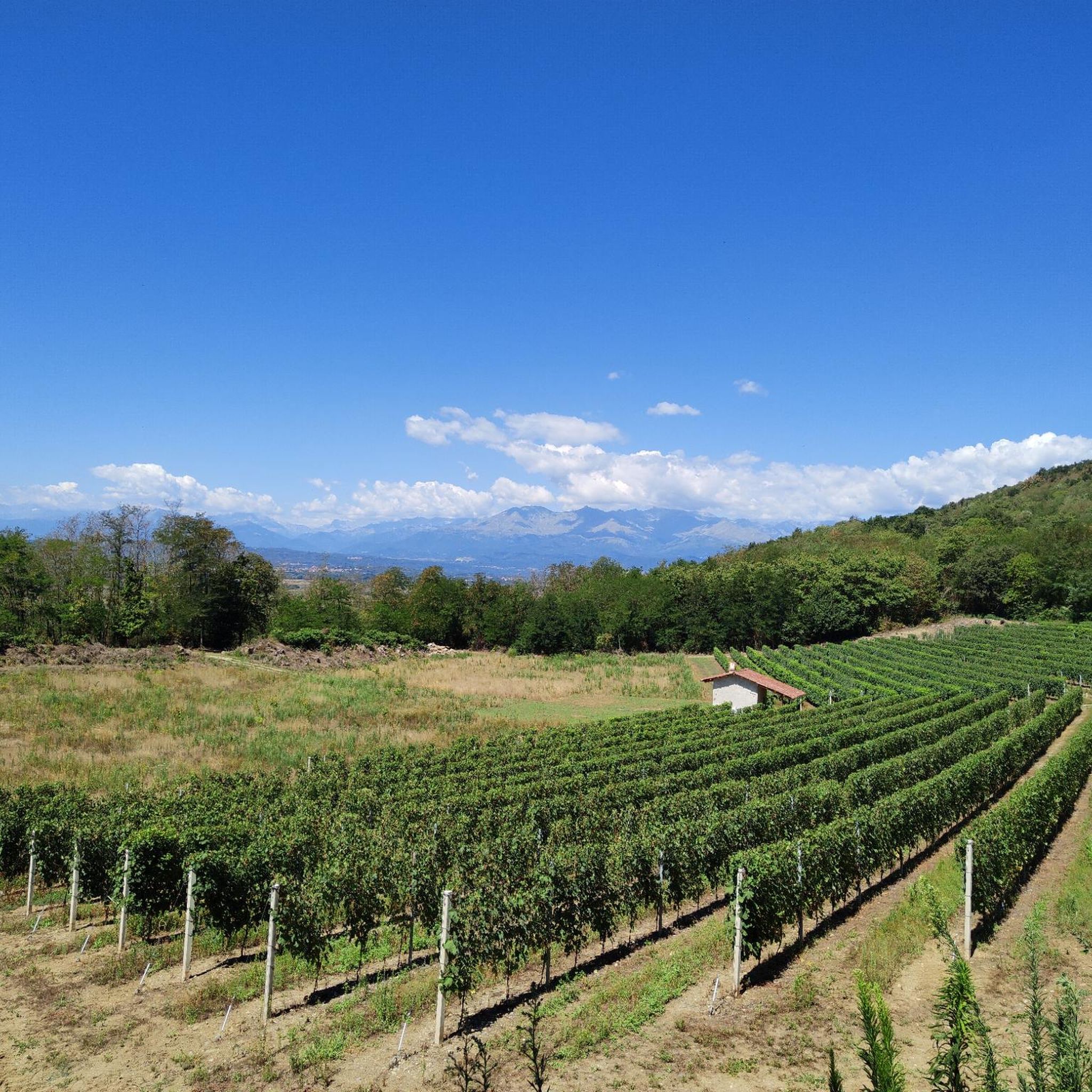
Absolutely. The region is known for its vineyard landscapes. A great example is the Erbaluce Vineyard Trail (via Trail 111), a moderate 16.7 km path that leads you directly through these scenic areas, offering characteristic views of Piedmont's wine country.
What is the typical duration for hikes around Maglione?
Hiking durations vary widely depending on the trail's length and difficulty. Easy routes, like the Ornate Cottage in the Woods – Giant bench d'la Vila loop from Moncrivello, can be completed in under 2 hours. Moderate trails, such as the MoncriVilla Blue Trail, typically take around 2.5 hours, while longer routes like the Erbaluce Vineyard Trail might require over 4 hours.
Are there any trails that explore the glacial history of the region?
Yes, the landscapes around Maglione were significantly shaped by glacial activity. Trails like the Ivrea Morainic Amphitheater High Route: Stage 3 and High Trail of the Morainic Amphitheater of Ivrea - Stage 2 lead through these unique glacial landscapes, offering insights into the area's geological past.
Most popular attractions around Maglione

Get inspired with the komoot mobile app


Explore more
Browse the best Hikes in other regions.
