The best road cycling routes in the Sierra Madre del Sur
4.7
(4)
71
riders
8
rides
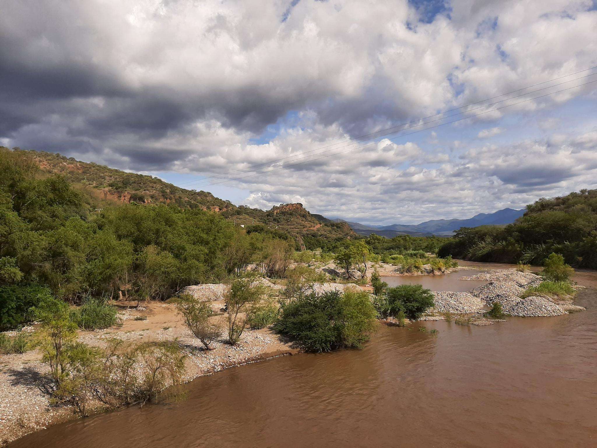
Road cycling routes in the Sierra Madre del Sur traverse a diverse landscape, characterized by coastal plains, rolling hills, and mountainous terrain. The region offers varied elevations, from sea-level routes along the Pacific coast to climbs into the foothills of the mountain range. Road cyclists can expect a mix of paved roads, passing through local communities and natural areas.
Best road cycling routes in the Sierra Madre del Sur
- The most popular road cycling route is Playa Larga – Área…
Last updated: August 29, 2026
4.0
(2)
22
riders
54.5km
02:27
230m
230m
Moderate road ride. Good fitness required. Mostly well-paved surfaces and easy to ride.
5.0
(1)
16
riders
20.4km
01:01
270m
270m
Easy road ride. Great for any fitness level. Mostly well-paved surfaces and easy to ride.

Sign up for free
10
riders
20.7km
01:14
420m
420m
Moderate road ride. Good fitness required. Some segments of this route may be unpaved and difficult to ride.
5
riders
46.2km
02:20
380m
380m
Moderate road ride. Good fitness required. Some segments of this route may be unpaved and difficult to ride.
5.0
(1)
7
riders
30.7km
01:44
510m
510m
Moderate road ride. Good fitness required. Mostly well-paved surfaces and easy to ride.
4
riders
19.1km
00:55
270m
270m
Easy road ride. Great for any fitness level. Mostly well-paved surfaces and easy to ride.
4
riders
50.2km
02:47
860m
860m
Moderate road ride. Good fitness required. Mostly well-paved surfaces and easy to ride.
Our route recommendations are based on thousands of hikes, rides, and runs completed by other people on komoot.
Start today with a free account
Your next adventure awaits.
Login or Signup

Other adventures in the Sierra Madre del Sur

Tips from the Community

The trail is relatively narrow, very winding and stony. You need to have experience or be very adventurous to go up or down.
0
0
Frequently Asked Questions
How many road cycling routes are available in the Sierra Madre del Sur?
There are 8 road cycling routes documented in the Sierra Madre del Sur on komoot, offering a variety of experiences for different skill levels.
Are there beginner-friendly road cycling routes in the Sierra Madre del Sur?
Yes, the Sierra Madre del Sur offers several easy routes suitable for beginners. For example, the Playa Chahue loop from La Crucecita is an easy 12.5 miles (20.2 km) path featuring coastal scenery, perfect for less experienced riders. Another easy option is the Roadbike loop from Estadio Eduardo Vasconcelos, which covers 12.2 miles (19.6 km).
What kind of terrain can I expect on road cycling routes in the Sierra Madre del Sur?
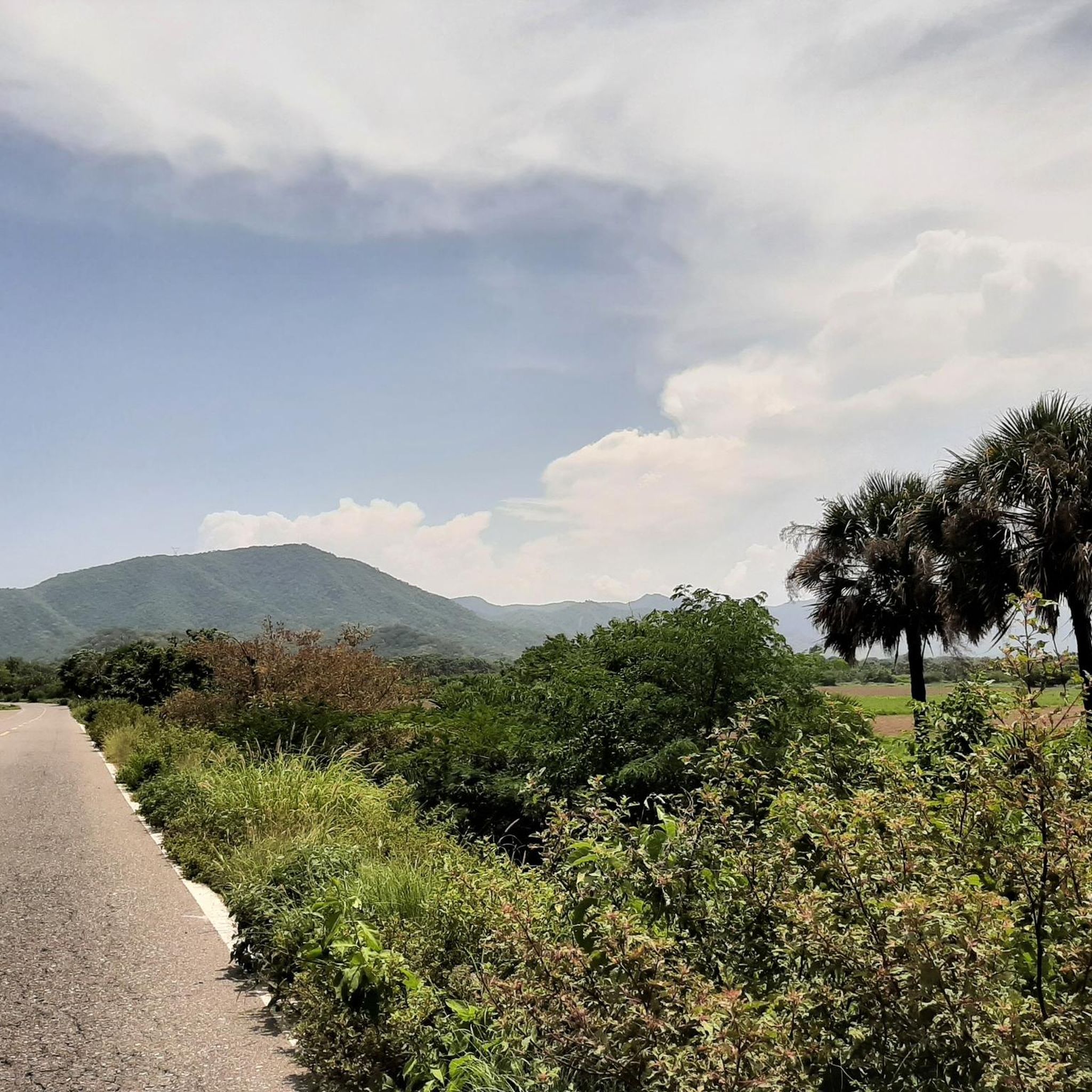
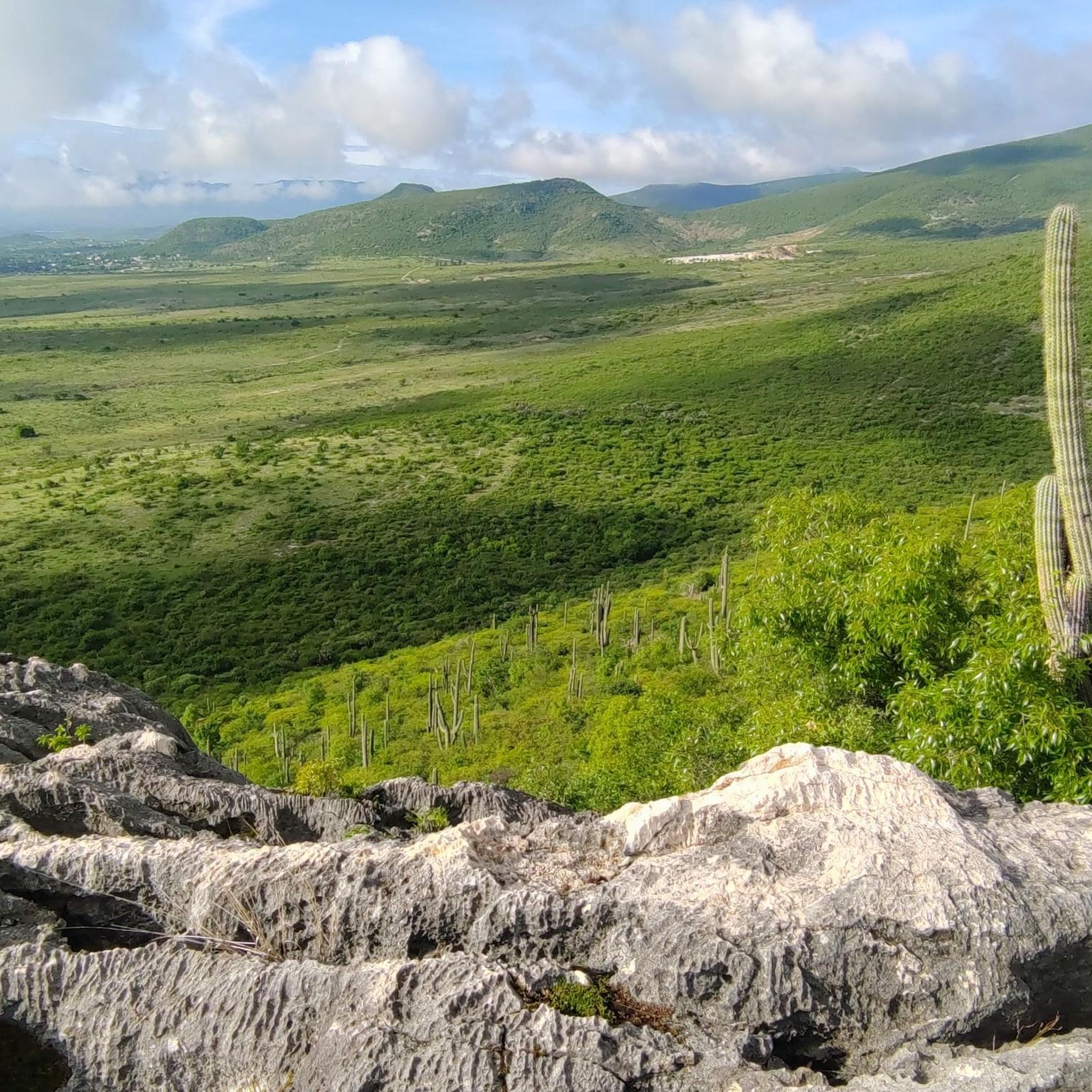
Road cycling routes in the Sierra Madre del Sur traverse diverse landscapes, from coastal plains and rolling hills to mountainous terrain. You can expect varied elevations, with routes ranging from sea-level along the Pacific coast to climbs into the foothills of the mountain range. The routes often feature a mix of paved roads, passing through local communities and natural areas.
Are there any challenging road bike climbs for advanced cyclists in the Sierra Madre del Sur?
While the region features mostly moderate routes, some offer significant elevation gain. For instance, the Playa Panteon loop from San Pedro Pochutla is a moderate 31.2 miles (50.3 km) route with over 860 meters of elevation gain, providing a good challenge. The Playa Principal loop from Ixtapa Zihuatanejo also includes over 500 meters of ascent over 19.1 miles (30.7 km).
What are some scenic highlights or points of interest along road cycling routes in the Sierra Madre del Sur?
Many routes offer scenic views, especially those along the coast. Beyond the natural beauty, the region is rich in cultural and historical sites. You might consider visiting the ancient Monte Albán Pyramids or the impressive Church of Santo Domingo de Guzmán. For natural wonders, the petrified waterfalls of Hierve el Agua are a unique geological feature worth exploring.
Are there any loop road bike routes in the Sierra Madre del Sur?
Yes, many of the road cycling routes in the Sierra Madre del Sur are loops, making them convenient for starting and ending at the same point. Examples include the popular Playa Larga – Área de Importancia Ecológica loop from Zihuatanejo and the Acueducto de San Felipe loop from Colonia Reforma.
What do other road cyclists enjoy most about cycling in the Sierra Madre del Sur?
The road cycling routes in the Sierra Madre del Sur are highly rated by the komoot community, with an average score of 5.0 stars. Cyclists often praise the diverse scenery, which includes coastal paths and routes through local communities, as well as the variety of options available for different ability levels.
Are there routes that pass through towns or offer opportunities for refreshments?
Many routes in the Sierra Madre del Sur pass through or near local communities, providing opportunities to stop for refreshments. For instance, the Playa Chahue loop from La Crucecita starts and ends near La Crucecita, a town with various amenities. Similarly, the Acueducto de San Felipe loop from Colonia Reforma leads through varied urban and natural landscapes, likely offering access to local establishments.
What is the typical distance and elevation gain for road cycling routes in this region?
The routes vary significantly in length and elevation. Distances range from shorter loops around 12.5 miles (20 km) to longer rides of over 34 miles (54 km). Elevation gains can range from around 250 meters on easier coastal routes to over 860 meters on more challenging inland rides, offering options for all fitness levels.
Is it possible to find road cycling routes that combine coastal views with inland exploration?
Absolutely. The Sierra Madre del Sur is characterized by its proximity to the Pacific coast and its rising mountain foothills. Routes like the Playa Larga – Área de Importancia Ecológica loop from Zihuatanejo offer a mix of coastal scenery and ecological areas, allowing you to experience both the ocean breeze and the region's natural inland beauty.
Are there any specific attractions related to unique geological features in the Sierra Madre del Sur?
Yes, one of the most remarkable geological features in the region is Hierve el Agua, known for its petrified waterfalls. While not directly on a road cycling route, it's a significant natural monument in the Sierra Madre del Sur that can be explored as part of a broader visit to the area.
Most popular routes in the Sierra Madre del Sur
Most popular attractions in the Sierra Madre del Sur

Get inspired with the komoot mobile app


Explore more
Browse the best Road cycling routes in other regions.
