The best walks and hikes around Chiesanuova
4.5
(1047)
5,080
hikers
268
hikes
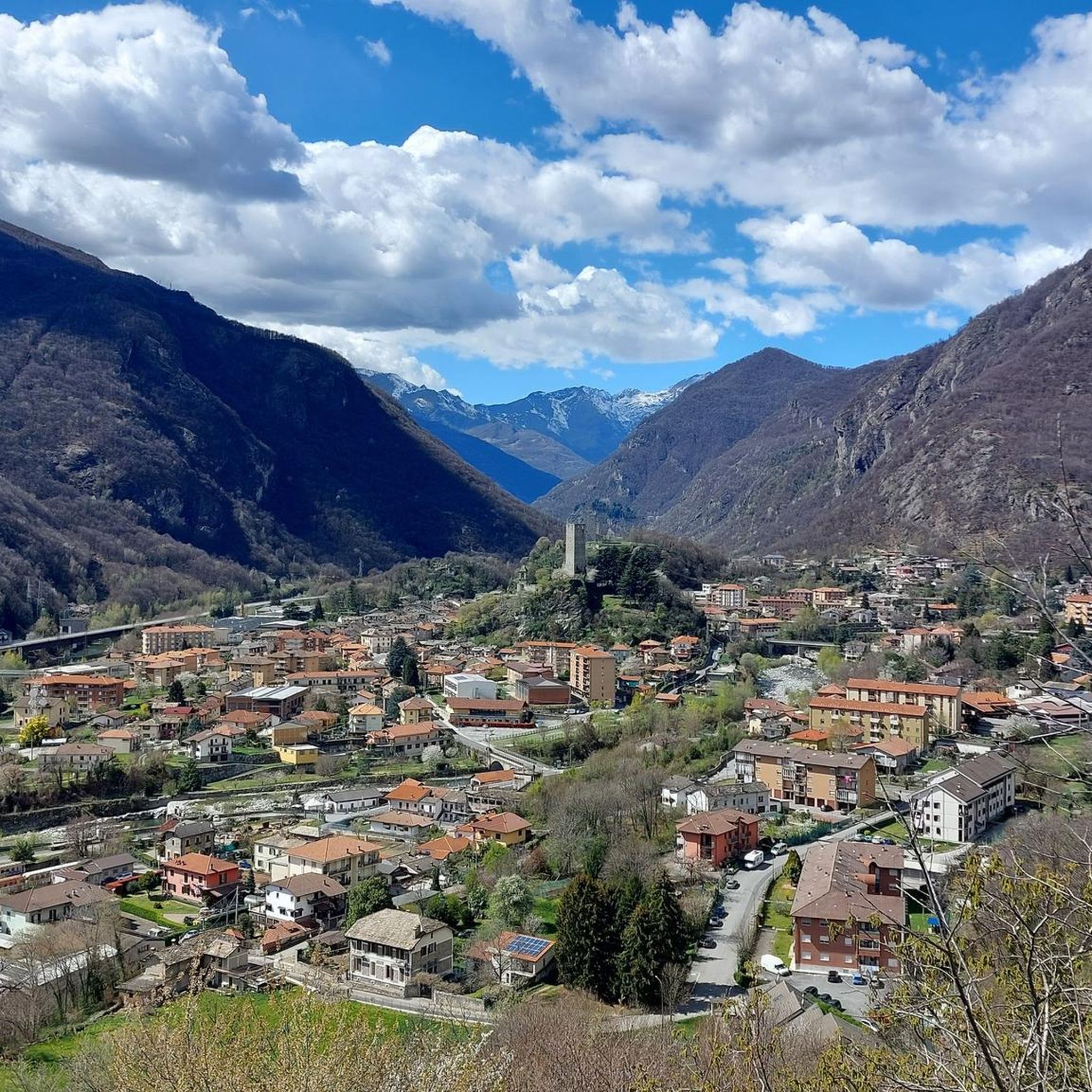
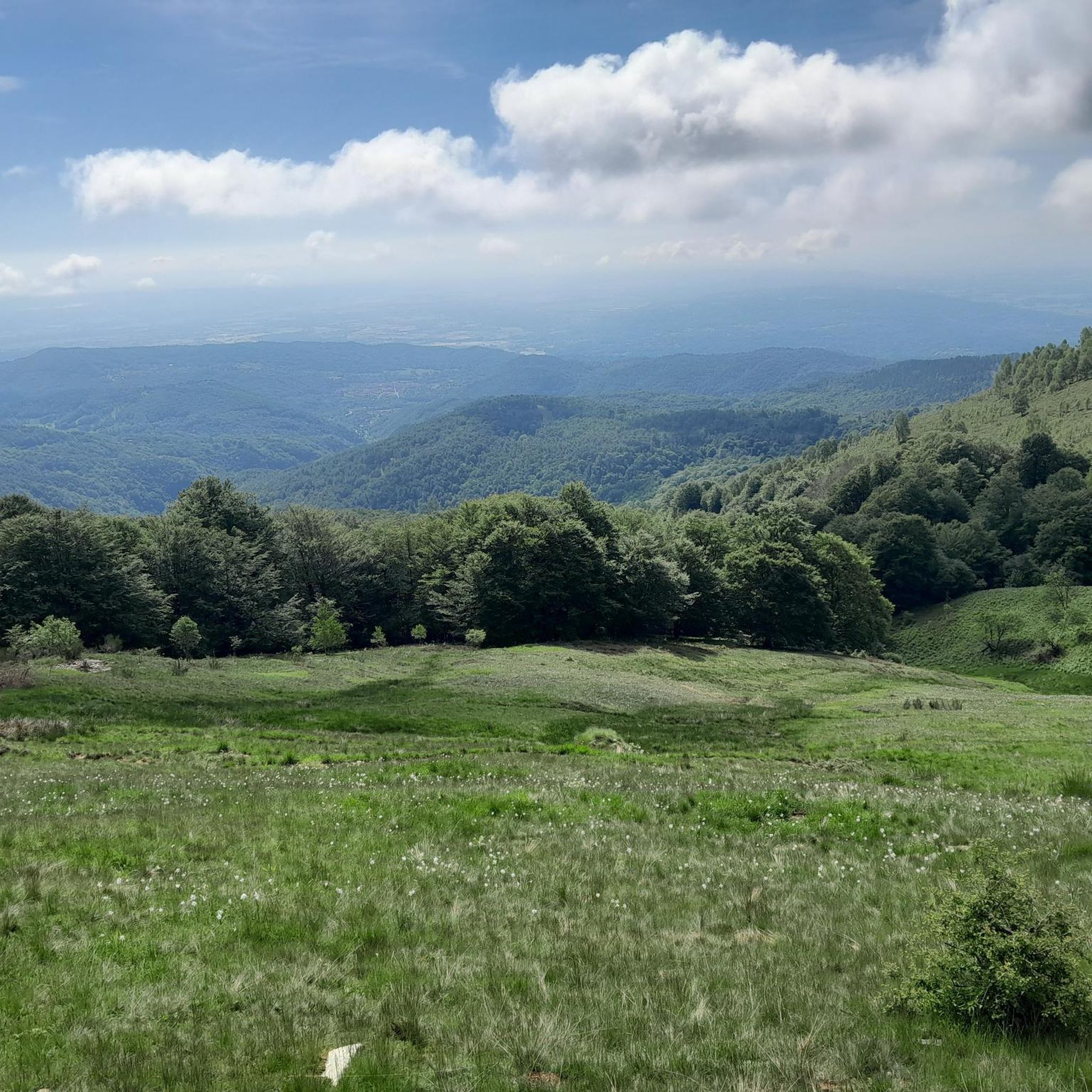
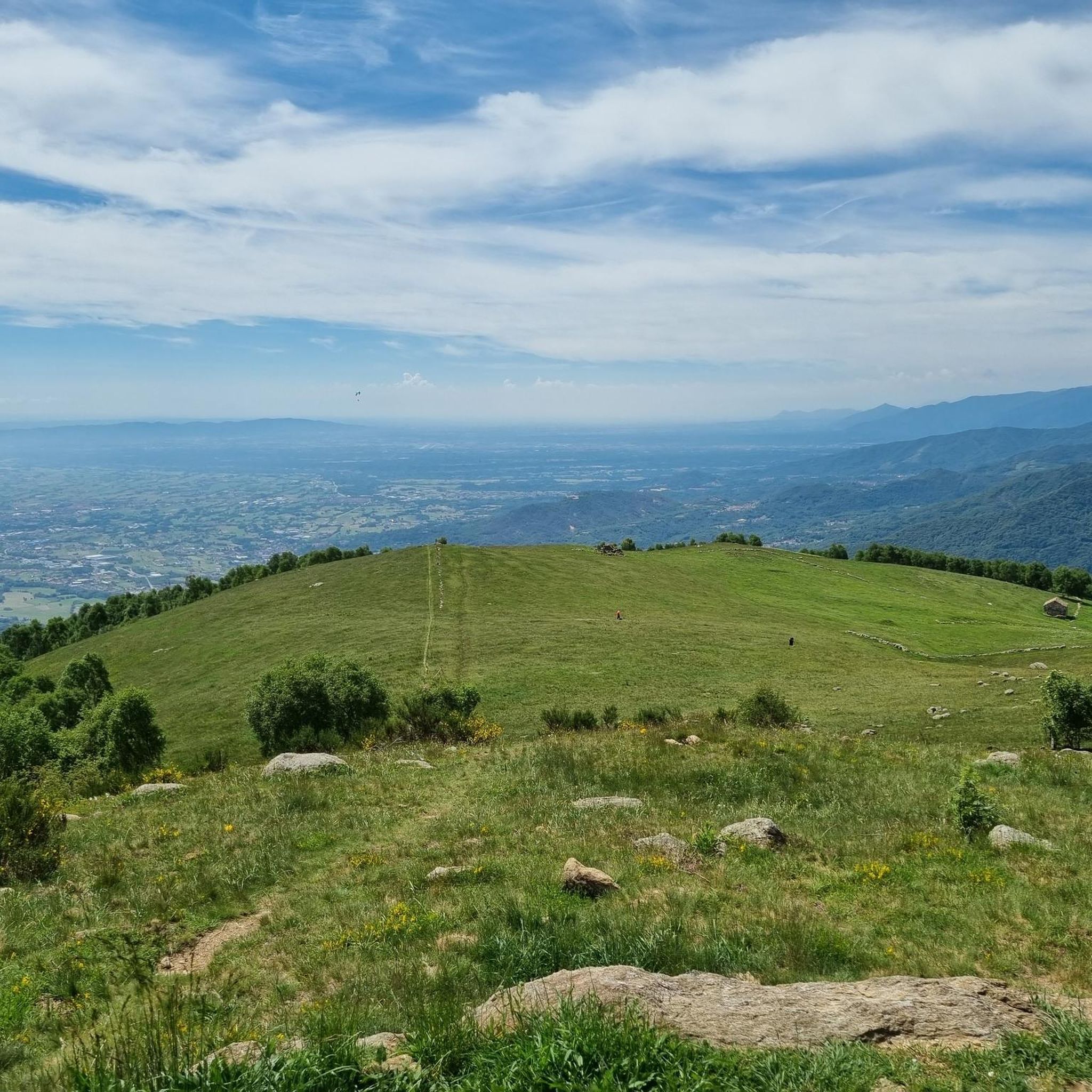
Hiking around Chiesanuova offers diverse natural features and varied terrain. The region is characterized by an elevated, rural landscape with small farms, providing expansive views. It features lush forests, rolling hills, and mountainous vistas, alongside rocky elevations, natural grasslands, and diverse woodlands. The area also includes unique geological formations and streams, contributing to a rich environment for outdoor activities.
Best hiking trails around Chiesanuova
- The most popular hiking route is Pian Confier – loop tour in the province of Turin…
Last updated: October 10, 2026
3.0
(1)
3
hikers
13.5km
04:58
810m
820m
Moderate hike. Good fitness required. Mostly accessible paths. Sure-footedness required.
8.44km
03:12
570m
570m
CAI-marked trail through Piedmont's hills blending meadows, forests, and traditional villages.

4.93km
01:29
160m
160m
Hike the easy Old San Giacomo Road Trail, a 3.1-mile route with 535 feet of elevation gain, taking about 1 hour and 29 minutes.
4.4
(18)
107
hikers
Hard hike. Very good fitness required. Sure-footedness, sturdy shoes and alpine experience required.
4.8
(4)
50
hikers
8.49km
03:13
540m
540m
Moderate hike. Good fitness required. Mostly accessible paths. Sure-footedness required.
Get access to more routes and recommendations from other explorers.
Already have an account?
Our route recommendations are based on thousands of hikes, rides, and runs completed by other people on komoot.
Start today with a free account
Your next adventure awaits.

Tips from the Community

Croce Quinzeina, built and brought by the people of Frassineto August 1963
1
0

Beautiful viewpoint even if hidden! I do not recommend the trail for MTB
0
0
Beautiful Panorama! Steep climbs in the last section from Frassinetto
0
0

Pian del Lupo ideal starting point to reach both Quinseina peaks.
0
0

To reach the 2,231 meters of altitude of Punta Quinseina Sud, also known as Punta Quinseina di Santa Elisabetta, you follow a beautiful path which, although not particularly difficult, has quite steep sections, sometimes on stony ground, and starts from Pian del Lupo. If the mists allow it, the panorama from this point is extraordinary, ranging from the Canavese plain to the Alps. However, even more fascinating is the somewhat exposed path along the ridge that leads to the northern tip. Running along the ridge is an amazing experience!
1
0

Along a dirt road that goes from Nava in the direction of Belice, there is this excellent picnic area that can be used
1
0
Near the path that goes from Salto in the direction of Belice, we find this excellent point to contemplate the panorama of the Orco valley
0
0

Splendid plain still immersed in the wildest nature
0
0
Frequently Asked Questions
What kind of terrain and landscapes can I expect when hiking around Chiesanuova?
Chiesanuova offers a diverse range of landscapes, from elevated, rural terrain with small farms to lush forests, rolling hills, and majestic mountains. You'll encounter rocky elevations, natural grasslands, shrubland, varied woodlands, and streams. Unique geological formations like "argille scagliose" (scaly clays) also add to the distinct character of the area, providing expansive views and a serene backdrop for your hikes.
How many hiking trails are available in Chiesanuova, and what are their difficulty levels?
There are nearly 200 hiking trails around Chiesanuova. The routes cater to various skill levels, with 34 easy trails, 119 moderate trails, and 46 difficult trails, ensuring options for both beginners and experienced hikers.
Are there any easy or family-friendly hiking options in Chiesanuova?
Yes, Chiesanuova offers 34 easy trails suitable for families or those looking for a relaxed walk. An excellent option is the Borgiallo village walk (via Route 915), an easy 3.1-mile (4.9 km) path that typically takes about 1 hour 29 minutes to complete.
What are some notable natural features or landmarks to look out for on the trails?
Hikers can explore the scenic Rifugio Cima Bossola, Bivacco Alpe Bellono, and Rifugio Fornetto, which are among the huts and cabins in the area. The region is also known for its proximity to Monte Titano, offering panoramic views, and the Gorgascura Path, which highlights the local environment along the San Marino River.
Are there any challenging routes for experienced hikers?
Absolutely. For experienced hikers, there are 46 difficult trails. A challenging option is the Quenema Trail Marker – Punta Quinseina South loop from Santa Elisabetta, which covers 6.3 miles (10.2 km) with significant elevation gain, typically taking around 4 hours to complete.
What do other hikers enjoy the most about hiking in Chiesanuova?
The hiking routes in Chiesanuova are highly rated by the komoot community, with an average score of 4.4 stars from over 700 reviews. Hikers often praise the diverse terrain, from elevated rural landscapes to varied woodlands and rolling hills, and the well-maintained paths that offer options for all ability levels.
Are there any circular hiking routes in the area?
Yes, many trails in Chiesanuova are designed as loops. For example, the Pian Confier – loop tour in the province of Turin is a moderate 8.4-mile (13.5 km) circular route that takes approximately 4 hours 58 minutes to complete, offering significant elevation gain and diverse scenery.
Can I find trails with good viewpoints or panoramic vistas?
Chiesanuova's elevated terrain and proximity to Monte Titano ensure many trails offer stunning panoramic views, including vistas of the Adriatic Sea. The region's rolling hills and mountainous areas provide numerous opportunities to enjoy expansive views of the surrounding countryside.
Are there any trails that pass by waterfalls or unique geological formations?
Yes, hikers can explore the Canepa Waterfalls and the Grotta di Canepa, with a loop trail accessible from Chiesanuova. The region also features unique geological formations like "argille scagliose" (scaly clays) and the San Marino River (Torrente San Marino), which flows through Gorgascura, adding to the natural beauty.
What is a good moderate hike to experience the varied terrain of Chiesanuova?
A great moderate option is the Piedmont Hills Trail (via CAI Route 916). This 5.2-mile (8.4 km) trail leads through varied terrain and can typically be completed in about 3 hours 12 minutes, offering a good balance of challenge and scenic beauty.
Are there any trails that lead to huts or offer accommodation along the way?
Yes, some routes in Chiesanuova pass by charming huts, with some offering accommodation for overnight stays. You can find several huts in the area, such as Alpe Nivoiaj and Alpe di Pian Russa, which can serve as points of interest or rest stops during your hike.
Most popular routes around Chiesanuova
Most popular attractions around Chiesanuova

Get inspired with the komoot mobile app


Explore more
Browse the best Hikes in other regions.
