The best walks and hikes around Villar Dora
4.5
(170)
739
hikers
20
hikes
Hiking around Villar Dora, located in Italy's Piedmont region, offers diverse terrain for outdoor enthusiasts. The area is characterized by hills and woodlands, with trails providing views of the Val di Susa. While the broader region includes mountainous areas and Lake Orta, Villar Dora itself features routes that traverse varied elevations and natural settings. The landscape provides opportunities for both moderate walks and more challenging ascents.
Best hiking trails around Villar Dora
- The most popular hiking route is CAI Trail 571 from Sant'Ambrogio to Villar Dora, a 12.3 miles (19.8 km) trail that takes 7 hours 46 minutes to complete. This difficult route connects two towns, offering varied terrain.
- Another top favourite among local hikers is Start of Roccasella Trail – Church of Celle, Caprie loop from Sant'Ambrogio di Torino, a difficult 9.0 miles (14.5 km) path. This loop route explores the hills and woodlands surrounding Sant'Ambrogio di Torino.
- Local hikers also love the View of Val di Susa – Chapel of San Pancrazio loop from Villar Dora, a 4.5 miles (7.2 km) trail leading through local hills, often completed in about 2 hours 15 minutes.
- Hiking around Villar Dora is defined by hills, woodlands, and views of the Val di Susa. The network offers options for different ability levels, from moderate loops to more challenging ascents.
- The routes in Villar Dora are highly rated by the komoot community with an average score of 4.4 stars from over 150 reviews. More than 700 hikers have used komoot to explore Villar Dora's varied terrain.
Last updated: July 9, 2026
5.0
(3)
12
hikers
19.8km
07:46
1,160m
1,160m
This difficult hike on CAI Trail 571 covers 12.3 miles (19.8 km) with a significant elevation gain of 3816 feet (1163 metres), typically taking around 7 hours and 46 minutes to complete. As you ascend, you'll traverse shaded woodlands and ancient stone paths, experiencing a true mountain atmosphere. The route offers glimpses of the Musinè mountain and the Turin hills, providing expansive views. You'll pass by the historic Cappella di San Pancrazio, a small chapel nestled in the forest, adding a touch of history to your journey. The varied terrain, from forest tracks to alpine sections, ensures a challenging and rewarding experience.
To begin your adventure, you can reach the starting point in Sant'Ambrogio easily by train, arriving at Sant'Ambrogio station. Alternatively, bus lines 68 and 91 serve Villar Dora, offering another public transport option. This long and difficult route demands an early start to ensure you have ample daylight for the nearly eight-hour journey. Along the way, the Rifugio Rocca Sella provides a convenient spot to rest and refuel.
This trail connects you with Piedmont's rich hiking heritage, blending natural beauty with historical elements. You'll encounter unique features like Fontana Barale, a small spring forming a tiny lake, and the intriguing Sentiero di Dante with its distinct markers. The route also passes near the circular Torre del Colle di Villar Dora, a medieval-like structure that stands guard over the village, offering a glimpse into the region's past.
5.0
(5)
46
hikers
14.8km
06:25
1,100m
1,100m
Hard hike. Very good fitness required. Mostly accessible paths. Sure-footedness required.

Sign up for free
4.7
(11)
18
hikers
7.17km
02:15
210m
210m
Moderate hike. Good fitness required. Mostly accessible paths. Sure-footedness required.
4.6
(5)
8
hikers
8.62km
03:55
710m
710m
Hard hike. Good fitness required. Sure-footedness, sturdy shoes and alpine experience required.
5.0
(1)
7
hikers
15.5km
06:28
1,100m
1,100m
Hard hike. Very good fitness required. Sure-footedness, sturdy shoes and alpine experience required.
Get access to more routes and recommendations from other explorers.
Sign up for free
Already have an account?
Our route recommendations are based on thousands of hikes, rides, and runs completed by other people on komoot.
Start today with a free account
Your next adventure awaits.
Login or Signup
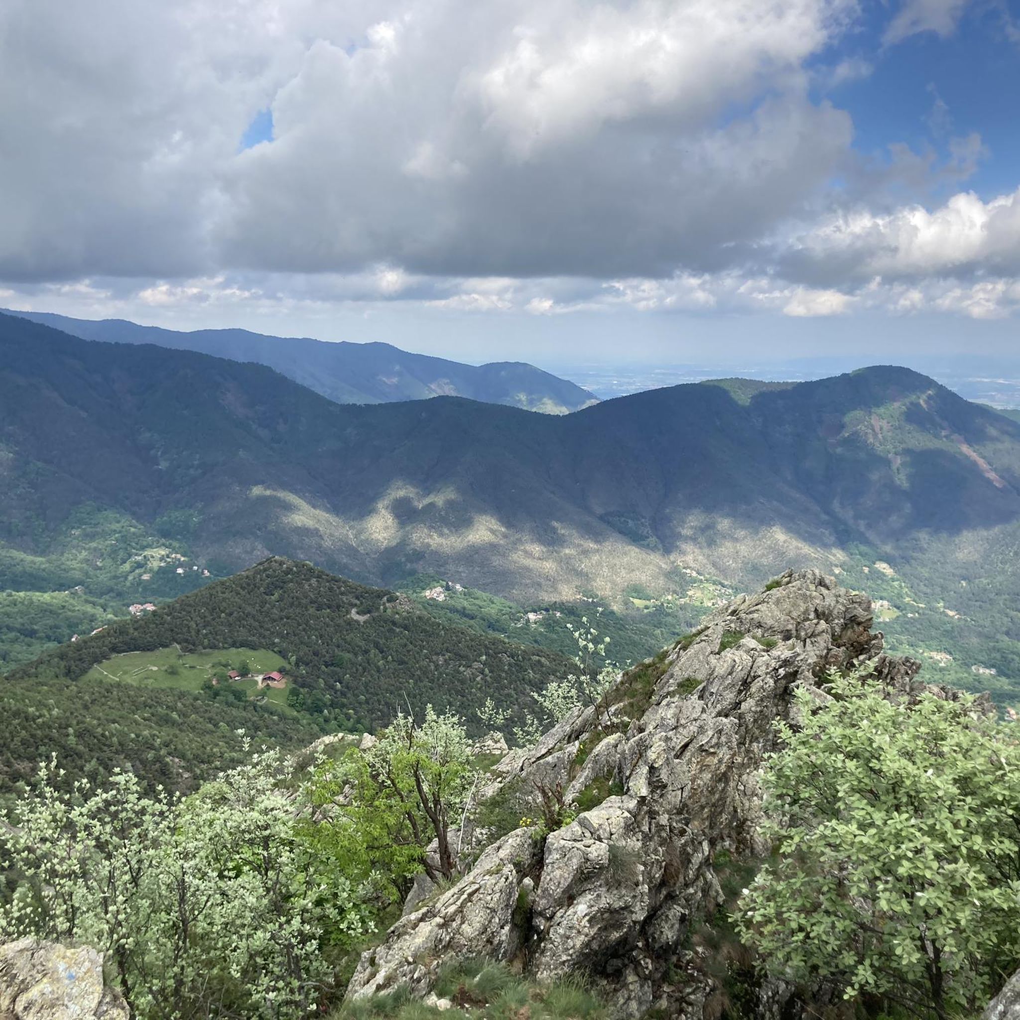
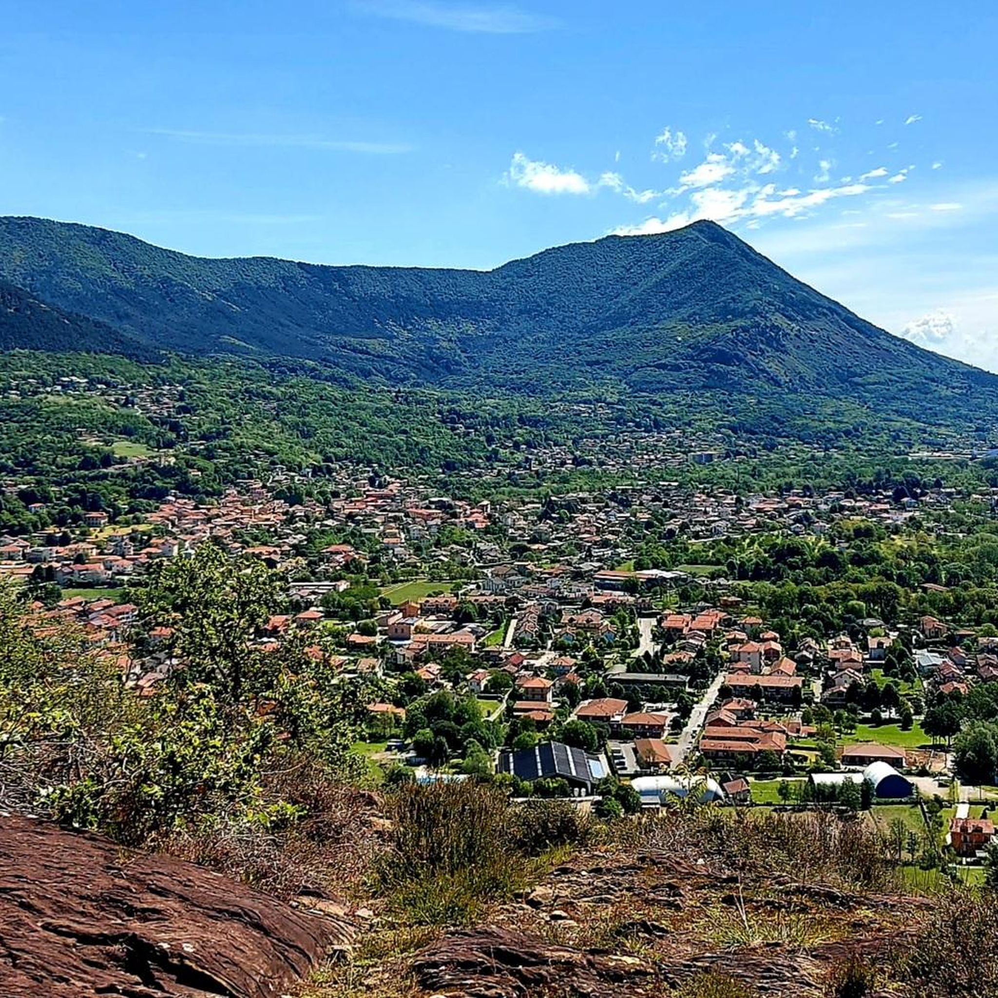
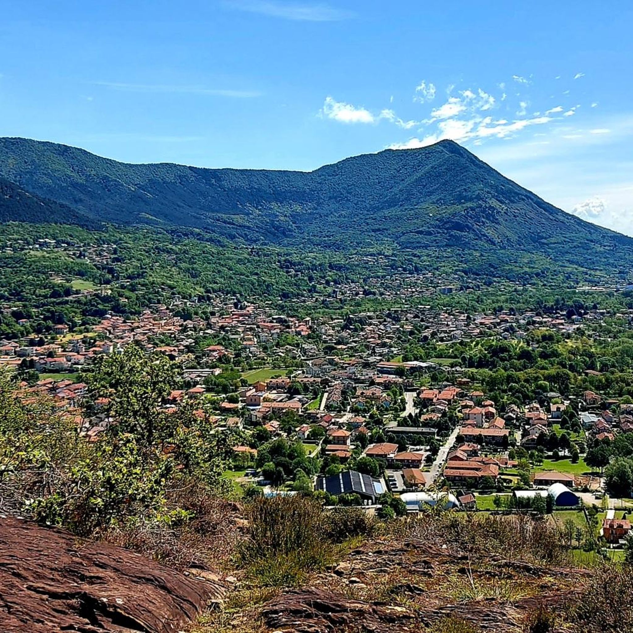
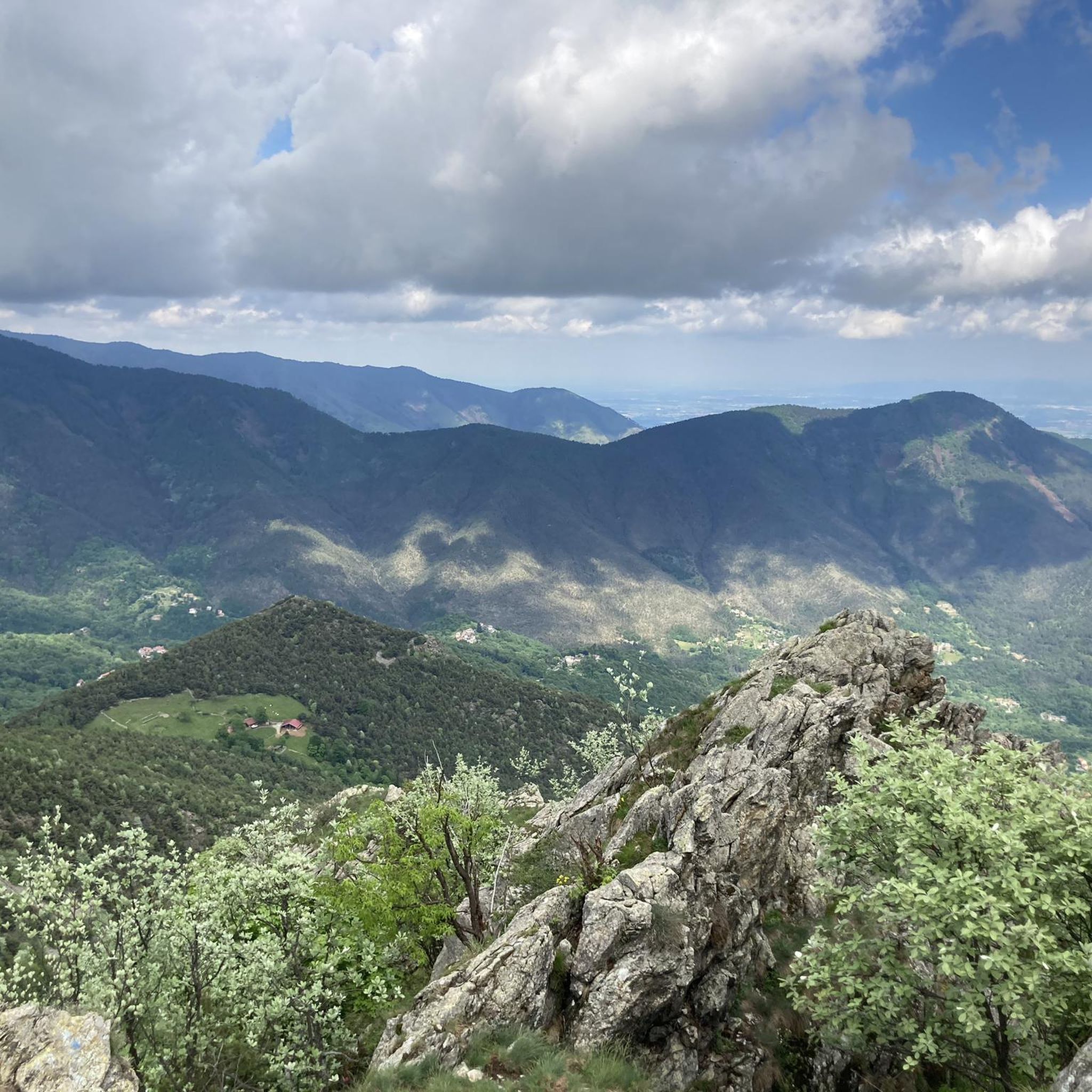


Tips from the Community

Chapel located in a park that is also accessible by car
0
0

crossroads with the main paths to climb to the top indicated
0
0


Cylindrical Tower of the 21st Century
1
0

Small spring of water flowing from a pipe, forming a tiny pond
2
0

Starting point for trekking trails
0
0
Frequently Asked Questions
How many hiking trails are available around Villar Dora?
Villar Dora offers a good selection of routes for hikers. There are over 20 hiking trails in the area, ranging from easy strolls to more challenging ascents through hills and woodlands.
Are there easy hiking trails suitable for beginners or casual walkers in Villar Dora?
Yes, Villar Dora has several easy hiking options. For example, the area features moderate loops like the View of Val di Susa – Chapel of San Pancrazio loop from Villar Dora, which is about 4.5 miles (7.2 km) and can be completed in just over two hours. Another moderate option is the Chapel of San Pancrazio – Dante's Trail loop from Villar Dora.
What are some challenging hikes near Villar Dora for experienced trekkers?
For those seeking a more strenuous experience, Villar Dora offers several difficult routes. The CAI Trail 571 from Sant'Ambrogio to Villar Dora is a challenging 12.3-mile (19.8 km) route connecting two towns. Another demanding option is the Start of Roccasella Trail – Church of Celle, Caprie loop from Sant'Ambrogio di Torino, a 9.0-mile (14.5 km) path exploring the surrounding hills.
Can I find circular hiking routes around Villar Dora?
Yes, many of the trails around Villar Dora are designed as loops, offering varied scenery without retracing your steps. Examples include the View of Val di Susa – Chapel of San Pancrazio loop from Villar Dora and the Chapel of San Pancrazio – Dante's Trail loop from Villar Dora. The Start of Roccasella Trail – Church of Celle, Caprie loop from Sant'Ambrogio di Torino is also a popular loop route.
Are there family-friendly hiking options in Villar Dora?
While specific 'family-friendly' routes are not detailed, the region's moderate loops, such as the View of Val di Susa – Chapel of San Pancrazio loop from Villar Dora, are generally suitable for families looking for shorter, less strenuous walks. The lush woodlands and varied terrain offer an engaging environment for children.
What kind of natural landscapes and features can I expect to see while hiking around Villar Dora?
Hiking around Villar Dora primarily features hills and woodlands, offering views of the Val di Susa. The broader region, including nearby Lake Orta, boasts diverse landscapes from tranquil lakeside paths to more challenging mountain terrain, lush forests, and natural parks like Val Grande National Park. You can expect varied elevations and natural settings.
Are there any notable landmarks or attractions to explore near the hiking trails?
Yes, the area around Villar Dora is rich in attractions. Hikers can explore cultural sites like the Sacra di San Michele, an ancient abbey. Natural landmarks include Mount Cuneo (Moncuni) and the Summit cross of Monte Musinè, offering panoramic views. There are also beautiful water features like Pessina Pond and the Small Lake of Avigliana nearby.
What do other hikers say about the trails in Villar Dora?
The hiking routes in Villar Dora are highly rated by the komoot community, with an average score of 4.4 stars from over 150 reviews. Hikers often praise the varied terrain, the beautiful woodlands, and the rewarding views of the Val di Susa.
Is parking available at the trailheads in Villar Dora?
While specific parking details for each trailhead are not provided, Villar Dora is a well-established area for outdoor activities. It is generally advisable to look for designated parking areas near town centers or popular starting points for trails. Many routes begin from villages like Villar Dora or Sant'Ambrogio di Torino, where parking facilities are typically available.
What is the best time of year to go hiking in Villar Dora?
The Piedmont region, including Villar Dora, is generally pleasant for hiking from spring through autumn. Spring brings lush greenery and wildflowers, while autumn offers vibrant foliage. Summer is also suitable, especially for higher elevations, though lower trails might be warm. Winter hiking is possible, but some routes may require appropriate gear due to snow or ice, particularly in higher areas.
Are there any trails that offer panoramic viewpoints of the Val di Susa?
Yes, many trails in Villar Dora are known for their scenic viewpoints. The View of Val di Susa – Chapel of San Pancrazio loop from Villar Dora is specifically highlighted for its views of the Val di Susa. Other routes traversing the local hills also provide excellent opportunities to take in the expansive valley landscapes.
Can I find trails that lead to water features like lakes or waterfalls?
While Villar Dora itself is characterized by hills and woodlands, the broader region offers stunning water features. Nearby Lake Orta provides tranquil lakeside paths, and the impressive Toce Waterfall, one of Europe's highest, is within the wider area. You can also visit Pessina Pond and the Small Lake of Avigliana, which are accessible from Villar Dora.
Are there options for longer, multi-hour hikes in the area?
Absolutely. For those looking for longer excursions, Villar Dora offers routes that can take several hours to complete. The CAI Trail 571 from Sant'Ambrogio to Villar Dora is a significant 12.3-mile (19.8 km) trail that typically takes around 7 hours and 46 minutes. Another substantial option is the Start of Roccasella Trail – Church of Celle, Caprie loop from Sant'Ambrogio di Torino, which is 9.0 miles (14.5 km) long.
Most popular routes around Villar Dora
Most popular attractions around Villar Dora

Get inspired with the komoot mobile app


Explore more
Browse the best Hikes in other regions.
