The best mountain hikes around Buttigliera Alta
4.4
(14)
187
hikers
12
hikes
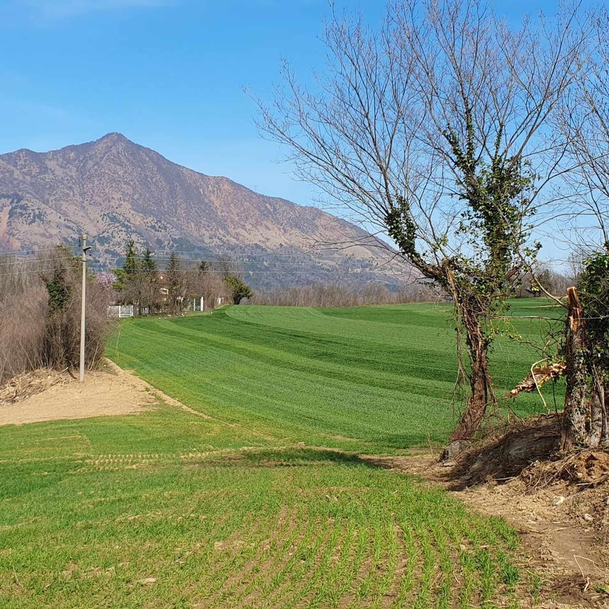
Mountaineering routes around Buttigliera Alta are set within Italy's Piedmont region, offering access to diverse natural landscapes in the Susa Valley. The area is characterized by mountainous vistas, varied topography, and prominent peaks such as Mount Cuneo, Monte Musinè, and Monte San Giorgio. Morainic hills and woodlands provide varied paths, featuring natural elements like stones and roots. This region offers a range of terrain suitable for mountaineering.
Best mountaineering routes around Buttigliera Alta
- The most popular mountaineering route is Cesana…
Last updated: July 5, 2026
4.8
(10)
112
hikers
Hard mountaineering route. Good fitness required. Sure-footedness, sturdy shoes and alpine experience required.
21
hikers
7.18km
03:59
710m
710m
Moderate mountaineering route. Good fitness required. Mostly accessible paths. Sure-footedness required.

Sign up for free
11
hikers
3.89km
02:25
460m
460m
Hard mountaineering route. Good fitness required. Sure-footedness, sturdy shoes and alpine experience required.
5.0
(1)
8
hikers
Hard mountaineering route. Good fitness required. Sure-footedness, sturdy shoes and alpine experience required.
5.0
(1)
3
hikers
3.14km
02:01
370m
370m
Hard mountaineering route. Good fitness required. Sure-footedness, sturdy shoes and alpine experience required.
Get access to more routes and recommendations from other explorers.
Sign up for free
Already have an account?
Our route recommendations are based on thousands of hikes, rides, and runs completed by other people on komoot.
Start today with a free account
Your next adventure awaits.
Login or Signup
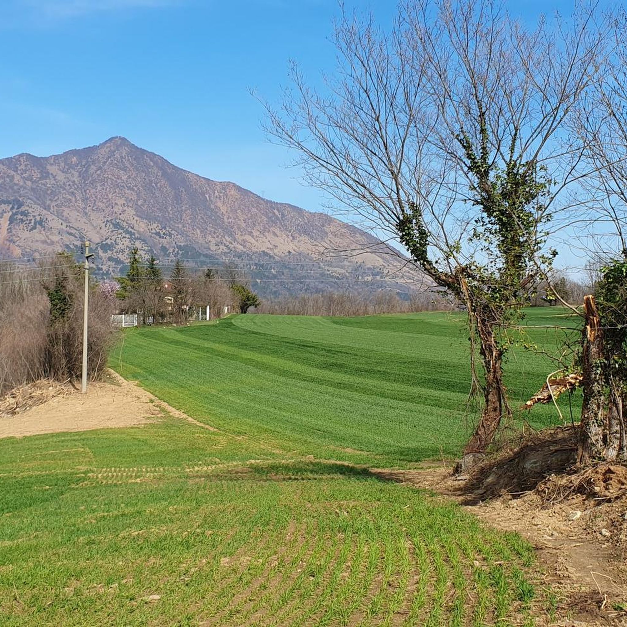
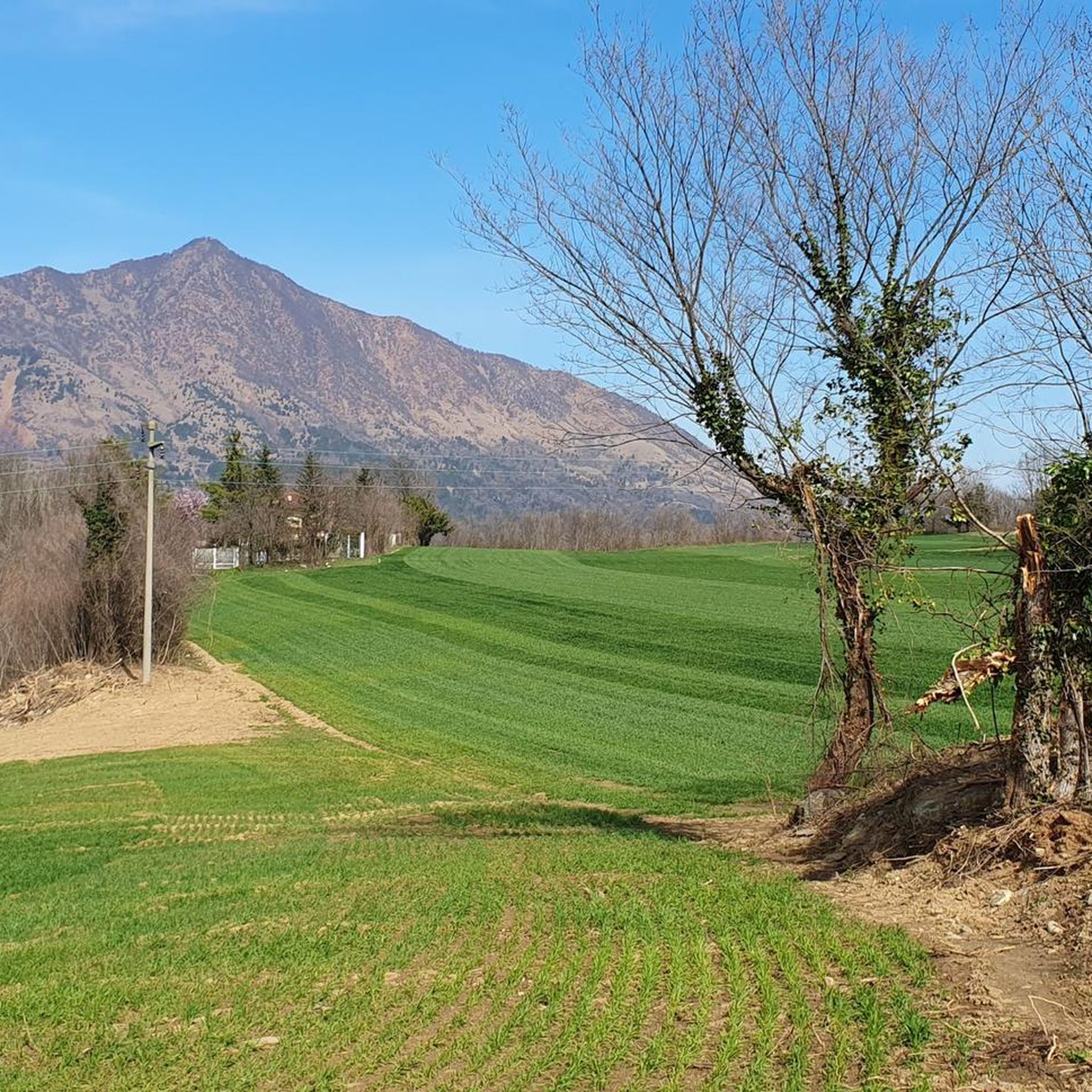
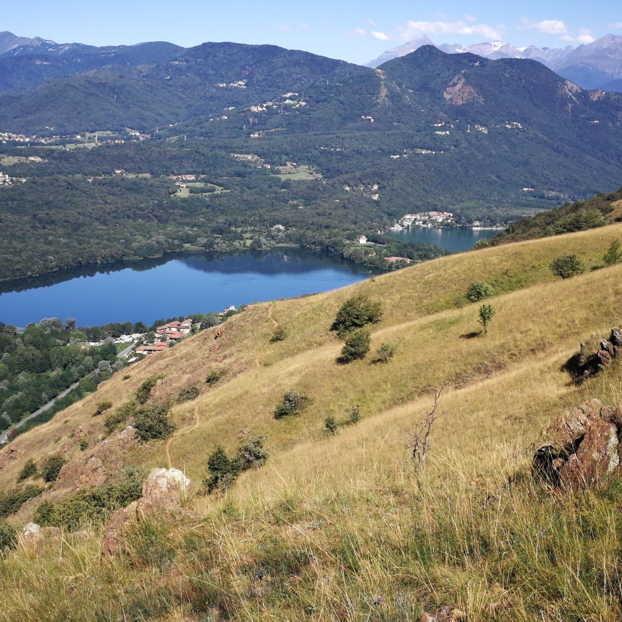

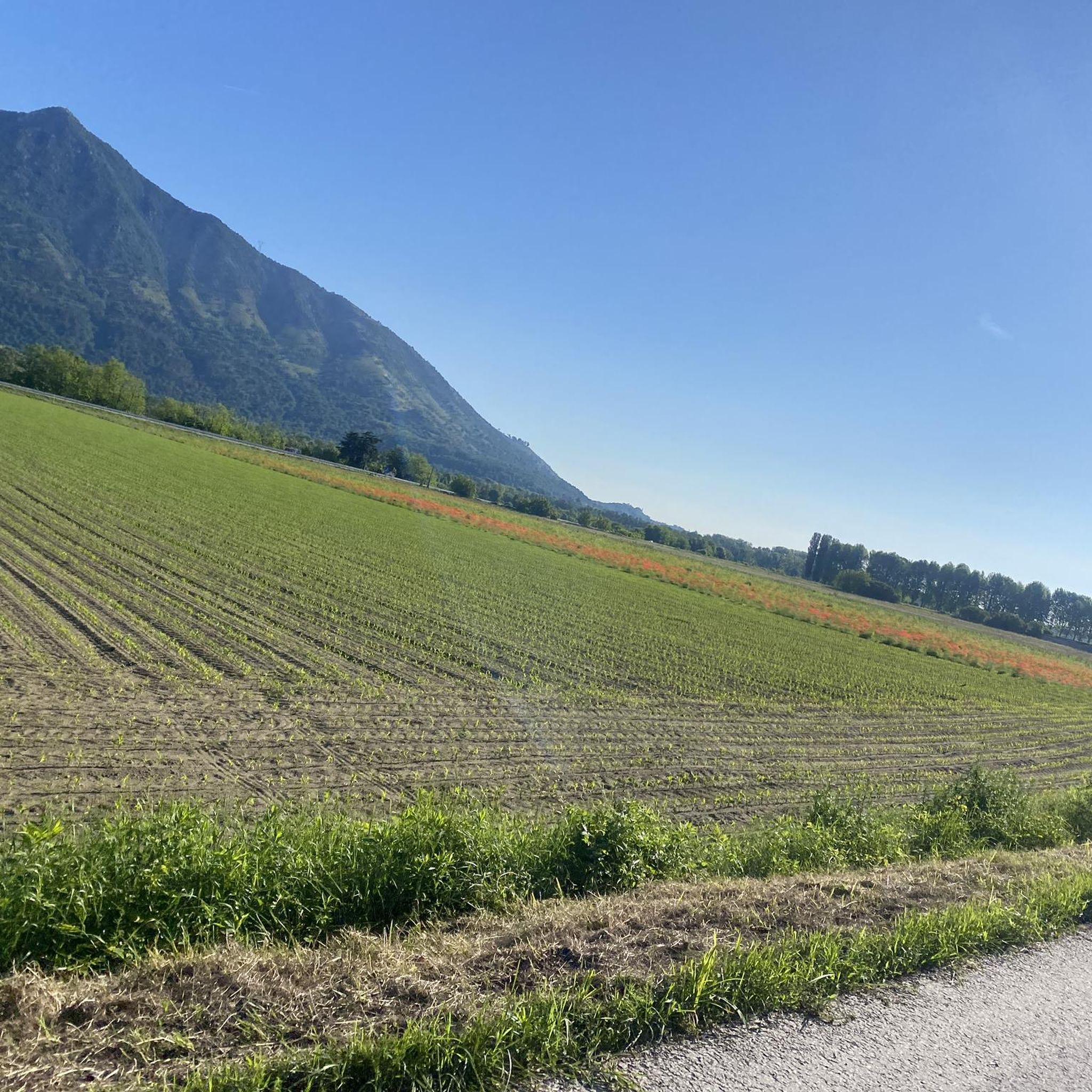
Tips from the Community

A grand 13th-century abbey, with walls as strong as the faith of its founders, evocative for its location and history, it's definitely worth a visit. A little trivia: Umberto Eco drew inspiration from this place for the setting of his masterpiece.
4
0

Departure for the firebreak trail right in front of the Kiosk
0
0

Very steep, steady climb. No equipment required; can be done in all seasons.
0
0

Steep climb to the hamlet of San Pietro, which can become a real Stations of the Cross if you get too excited! Beautiful views of San Michele and wonderful woods.
0
0

Good starting point for excursions to Musiné. Convenient parking.
1
0

The draft white beer is excellent
0
0

Beautiful Tibetan bridge on the Giorda Sacra San Michele via ferrata. First part is unsteady, then after the first "U" it becomes more stable
1
0

Starting point for trekking trails
0
0
Frequently Asked Questions
How many mountaineering routes are available around Buttigliera Alta?
There are 14 mountaineering routes around Buttigliera Alta, offering a range of experiences for those looking to explore the mountainous vistas of the Susa Valley.
What are the difficulty levels of mountaineering routes in this region?
The routes around Buttigliera Alta are primarily challenging, with 10 routes rated as difficult and 4 as moderate. This ensures a rewarding experience for mountaineers seeking varied terrain and significant elevation gains.
Are there any circular mountaineering routes near Buttigliera Alta?
Yes, several routes are circular, allowing you to start and end in the same location. For example, the Mountaineering loop from Caprie offers a challenging 3.8 km experience, while the Rocca Bianca loop from Caprie is another difficult option covering 5 km.
What kind of natural features and landmarks can I expect to see on these routes?
The region is rich in natural beauty and historical landmarks. You can expect to encounter prominent peaks like Mount Cuneo (Moncuni), offering expansive views, and the iconic Sacra di San Michele abbey perched dramatically at the valley entrance. The routes also traverse morainic hills and woodlands, providing varied landscapes.
Are there any routes suitable for beginners or those looking for a less strenuous climb?
While many routes are rated difficult, there are moderate options available. The Monte Musinè – Antico acquedotto loop from Caselette is a moderate 7.3 km path, offering panoramic views from Monte Musinè without the extreme challenge of some other trails.
What do other mountaineers enjoy most about the routes around Buttigliera Alta?
The routes in Buttigliera Alta are highly rated by the komoot community, with an average score of 4.4 stars. Mountaineers often praise the diverse terrain, the stunning panoramic views from peaks like Monte Musinè, and the rewarding challenge of the difficult ascents.
Are there any family-friendly mountaineering options?
While mountaineering routes are generally more strenuous, the area around Buttigliera Alta offers varied terrain. For families, the moderate routes, such as the Monte Musinè – Antico acquedotto loop from Caselette, might be more suitable, depending on the family's experience and fitness levels. Always check route details for elevation and duration.
Can I bring my dog on the mountaineering trails?
Many trails in the Piedmont region are dog-friendly, but it's always advisable to check specific trail regulations or local signage. Given the varied terrain, including rocky paths and potential wildlife, ensure your dog is well-behaved and on a leash for their safety and that of others.
What is the typical duration for these mountaineering routes?
The duration varies significantly based on the route's length and difficulty. For instance, the Cesana Tibetan Bridge loop from Sant'Ambrogio di Torino, a difficult 6.2 km route, typically takes around 4 hours and 24 minutes. Shorter, difficult loops like the Rocca Sella loop from Caprie (4.2 km) can be completed in about 2 hours and 28 minutes.
Are there any specific peaks that offer exceptional views?
Absolutely. Mount Cuneo (Moncuni) provides expansive views over the Lakes of Avigliana, Val Sangone, and the Sacra di San Michele. Monte Musinè is known for its panoramic vistas, including the city of Turin on clear days, and Monte San Giorgio offers 360-degree views from its 'island mountain' position.
Is parking available near the trailheads for mountaineering routes?
Parking availability can vary by trailhead. Many starting points in towns like Caprie, Caselette, or Sant'Ambrogio di Torino will have designated parking areas, though these might be limited, especially during peak seasons. It's recommended to check specific route details or local information for the best parking options.
Are there any cafes or places to eat near the mountaineering trails?
Buttigliera Alta and nearby towns like Avigliana offer various cafes and restaurants where you can refuel before or after your mountaineering adventure. While specific cafes directly on the trails are rare, you'll find options in the villages at the base of the mountains.
Most popular routes around Buttigliera Alta
Most popular attractions around Buttigliera Alta

Get inspired with the komoot mobile app


Explore more
Browse the best Mountain Hikes & Routes in other regions.
