The best road cycling routes around Sils im Engadin/Segl
4.5
(91)
5,523
riders
29
rides
Road cycling around Sils im Engadin/Segl is characterized by its high alpine setting in the Upper Engadine valley, at an elevation of approximately 1,800 meters. The terrain features a network of mountain roads and passes, including the Julier, Albula, and Bernina Passes, offering significant ascents. The region also encompasses the Engadine lakes, such as Lake Sils and Lake Silvaplana, providing routes with varied gradients and scenic views.
Best road cycling routes around Sils im Engadin/Segl
- The most popular road cycling…
Last updated: October 8, 2026
4.8
(17)
1,111
riders
76.7km
03:32
920m
920m
Hard road ride. Very good fitness required. Mostly well-paved surfaces and easy to ride.
4.2
(5)
687
riders
40.4km
01:44
330m
330m
Moderate road ride. Good fitness required. Mostly well-paved surfaces and easy to ride.

3.0
(3)
124
riders
26.9km
01:09
190m
190m
Easy road ride. Great for any fitness level. Mostly well-paved surfaces and easy to ride.
41
riders
14.9km
00:36
90m
90m
Easy road ride. Great for any fitness level. Mostly well-paved surfaces and easy to ride.
31
riders
26.6km
01:14
320m
320m
Moderate road ride. Good fitness required. Mostly well-paved surfaces and easy to ride.
Get access to more routes and recommendations from other explorers.
Already have an account?
Our route recommendations are based on thousands of hikes, rides, and runs completed by other people on komoot.
Start today with a free account
Your next adventure awaits.
Popular around Sils im Engadin/Segl
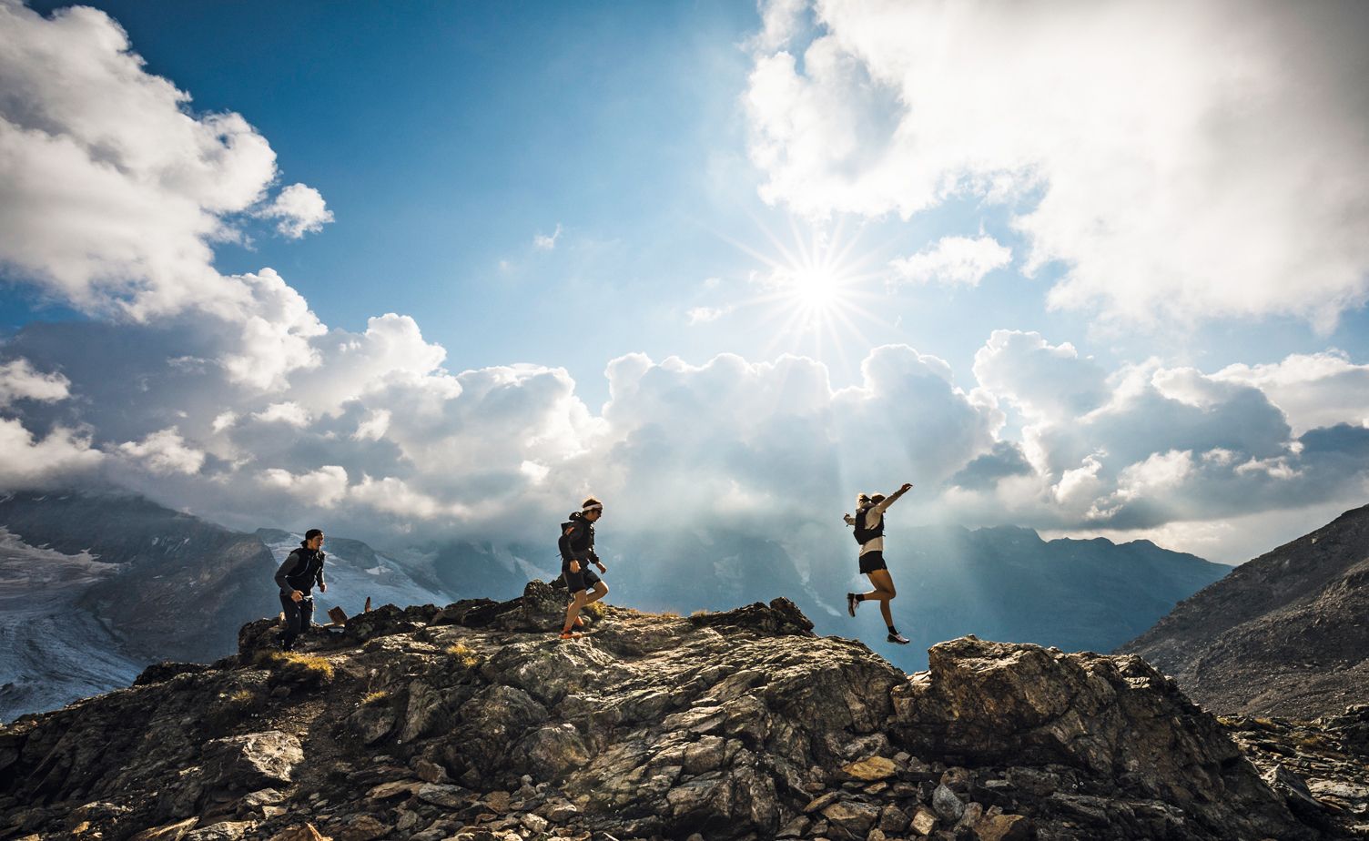
Engadin St. Moritz — Running is like flying to me
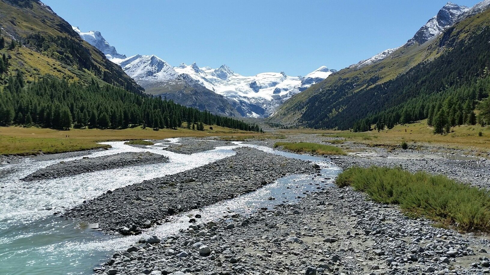
Scenic hikes in the Engadin
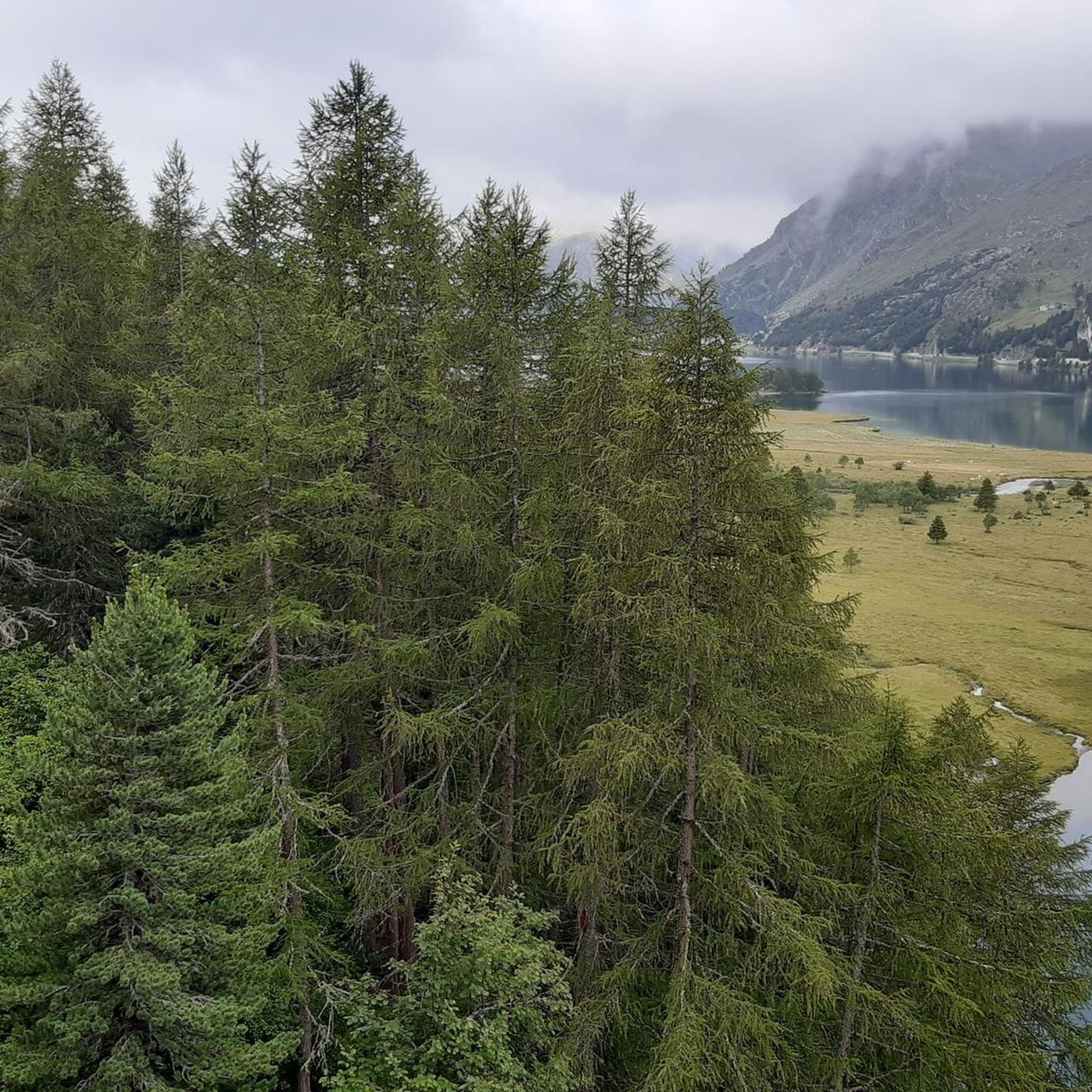
Hiking around Sils im Engadin/Segl
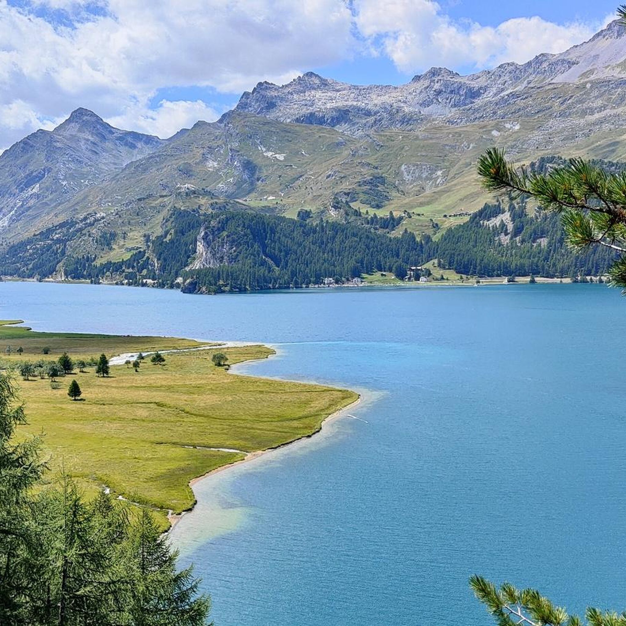
MTB Trails around Sils im Engadin/Segl
Running Trails around Sils im Engadin/Segl
Cycling around Sils im Engadin/Segl

Gravel biking around Sils im Engadin/Segl
Mountain Hikes around Sils im Engadin/Segl
Other adventures around Sils im Engadin/Segl


Tips from the Community

Beautiful lake with a nice cycle path
0
0


Morteratsch glacier reached its greatest extent in 1857 AD (after the Little Ice Age 13th/14th century - 19th century) up to 100m from the RhB stop, since then a constant retreat. However, as a tree find from 2018 (C4 + Dendrochronology) of a 10400 year old larch shows, that the glacier after the last ice age, (Pleistocene 20000-14000) at the beginning of the Holocene approx. 10000 years ago, the glacier retreated even further than today. Minimum was around 7000 years ago. Then the glacier grew again until max. 1857. The beginning of measurements was from 1915, since then it has continuously retreated. (around 20000 years ago it had connection to the Bernina and Inn glaciers, around 14000 years ago it reached Pontresina and in 1857 almost to the Rhb Morteratsch stop.
0
0
Silvaplanersee is an ideal windsurfing and kiteboarding area with a reliable Maloja wind in good weather. With strong day/night temperature differences, the rocks before the Maloja Pass in Bergell heat up and the wind pulls down the Inn Valley. This effect can be intensified by an approaching bad weather front -> then things really get going. With north wind (Bise) or Julier wind, however, the wind is weak. An ideal starting point for surfing is the Silvaplana campsite at the surf center with a large parking lot.
0
0

Simply beautiful! Turquoise blue water and a gorgeous mountain panorama. An absolute MUST!
1
0

From Morteratsch and from Montebello, the view towards the Bernina massif is excellent.
0
0
Both from the Morteratsch valley and from Montebello, you can enjoy a magnificent view of glaciers and the Bernina massif.
0
0
The largest of the Upper Engadine lakes, very beautiful path along the east bank.
0
0
Frequently Asked Questions
How many road cycling routes are available in Sils im Engadin/Segl?
There are over 30 road cycling routes around Sils im Engadin/Segl, offering a diverse range of experiences from moderate loops to challenging mountain ascents. The komoot community has explored these routes over 5,900 times, highlighting the region's popularity among cyclists.
What kind of terrain can I expect when road cycling in Sils im Engadin/Segl?
Sils im Engadin/Segl is situated in the high alpine Upper Engadine valley at about 1,800 meters. You can expect a mix of terrain, from well-paved roads along the picturesque Engadine lakes like Lake Sils and Lake Silvaplana, to significant climbs over iconic mountain passes such as the Julier, Albula, and Bernina Passes. The region offers routes with varied gradients suitable for different skill levels.
Are there any easy road cycling routes suitable for beginners in Sils im Engadin/Segl?
Yes, the region offers several easier routes. While specific beginner routes are not detailed in the provided data, the region's diverse offerings include leisurely tours along Lake Sils or through the romantic Val Fex, which feature gentle climbs and mostly paved surfaces. Out of the over 30 routes, 8 are classified as easy, providing accessible options for those new to road cycling in the Alps.
What are some challenging road cycling routes for experienced riders?
For experienced riders seeking a challenge, Sils im Engadin/Segl provides access to spectacular pass routes. A notable difficult route is the View of the Bernina Pass – Bernina Pass loop from Passo della Maloja - Malojapass 1815 m, which covers 76.6 km and includes significant climbs over alpine passes. The region is also known for ambitious round routes like the 'Three Passes Round Route' from Thusis, conquering passes at around 2,300 meters.
What natural features and landmarks can I see along the road cycling routes?
Road cycling routes in Sils im Engadin/Segl offer stunning views of the Engadine lakes, including Lake Sils and Lake Silvaplana. You can also explore the tranquil Val Fex. Notable landmarks and viewpoints include the Corvatsch mountain station, offering panoramic views, and the charming traditional Engadine villages. The Lake St. Moritz and Lake Staz (Lej da Staz) are also accessible and offer beautiful scenery.
Are there any circular road cycling routes in the Sils im Engadin/Segl area?
Yes, Sils im Engadin/Segl features several scenic circular routes. For example, the Maloja Pass – Silvaplana Market Square loop from Maloja Pass is a moderate 40.5 km path offering scenic views around Lake Silvaplana. Another popular option is the View of Lake Silvaplana – Lake Silvaplana loop from Silvaplana, a 40.1 km trail through the Engadine lakes region.
What do other road cyclists enjoy most about the routes in Sils im Engadin/Segl?
The road cycling routes in Sils im Engadin/Segl are highly rated by the komoot community, with an average score of 4.8 stars from over 70 reviews. Cyclists often praise the breathtaking alpine landscapes, the well-paved surfaces, and the diverse options ranging from serene lake loops to challenging mountain pass ascents. The stunning views of the Engadine lakes and surrounding peaks are frequently highlighted as a major draw.
Can I find routes that pass through charming villages or offer cultural insights?
Absolutely. The region is dotted with traditional Engadine villages featuring sgraffito-adorned buildings. While cycling, you can pass through areas that offer glimpses into local culture. For instance, the Val Fex, accessible via routes like the Maloja Pass – Curtins Village (Val Fex) loop from Maloja Pass, is a romantic and largely traffic-free valley with an audio guide providing insights into its history.
Are there road cycling routes that include ascents to mountain passes?
Sils im Engadin/Segl is renowned for its mountain passes, making it a prime destination for cyclists who enjoy ascents. Routes frequently incorporate passes like the Julier, Albula, and Bernina. The Julier Pass – Lake Silvaplana loop from Silvaplana, for example, includes a significant climb to the Julier Pass, offering rewarding views.
What is the general duration for road cycling routes in this area?
The duration of road cycling routes in Sils im Engadin/Segl varies significantly based on difficulty and distance. Moderate loops like the View of Lake Silvaplana – Lake Silvaplana loop from Silvaplana can be completed in about 1 hour 45 minutes, while more challenging routes such as the View of the Bernina Pass – Bernina Pass loop from Passo della Maloja - Malojapass 1815 m can take around 3 hours 32 minutes or more, depending on your pace and stops.
Are there opportunities to combine road cycling with other activities, such as visiting lakes?
Yes, the region's unique location at the convergence of Lake Sils and Lake Silvaplana makes it easy to combine road cycling with lakeside activities. Many routes offer stunning views of these lakes, and you can find tranquil spots like the Chastè peninsula on Lake Sils for relaxation. The area is also popular for water sports like windsurfing and stand-up paddling on the lakes.
Most popular routes around Sils im Engadin/Segl
Most popular attractions around Sils im Engadin/Segl

Get inspired with the komoot mobile app


Explore more
Browse the best Road cycling routes in other regions.
