The best cycling routes around Sindelsdorf
4.5
(9053)
52,002
riders
21
rides
Touring cycling routes around Sindelsdorf are situated within the Bavarian Alpine foothills, offering a diverse landscape for cyclists. The region features a mix of gentle, picturesque routes along lakes like Kochelsee and Walchensee, and more challenging terrains through rolling hills. Moorlands, such as the Loisach-Kochelsee Moor, and the winding Loisach River also characterize the area, providing varied natural settings for cycling. The routes often present alpine panoramas and views of prominent peaks like Benediktenwand, though local elevations are generally considered…
Last updated: September 27, 2026
5.0
(3)
56
riders
Easy bike ride. Great for any fitness level. Mostly paved surfaces. Suitable for all skill levels.
5.0
(4)
47
riders
30.2km
01:52
170m
170m
Moderate bike ride. Good fitness required. Mostly paved surfaces. Suitable for all skill levels.

5.0
(2)
49
riders
Easy bike ride. Great for any fitness level. Mostly paved surfaces. Suitable for all skill levels.
4.8
(4)
21
riders
21.4km
01:23
240m
240m
Moderate bike ride. Good fitness required. Mostly paved surfaces. Suitable for all skill levels.
3.0
(2)
25
riders
Easy bike ride. Great for any fitness level. Mostly paved surfaces. Suitable for all skill levels.
Get access to more routes and recommendations from other explorers.
Already have an account?
Our route recommendations are based on thousands of hikes, rides, and runs completed by other people on komoot.
Start today with a free account
Your next adventure awaits.
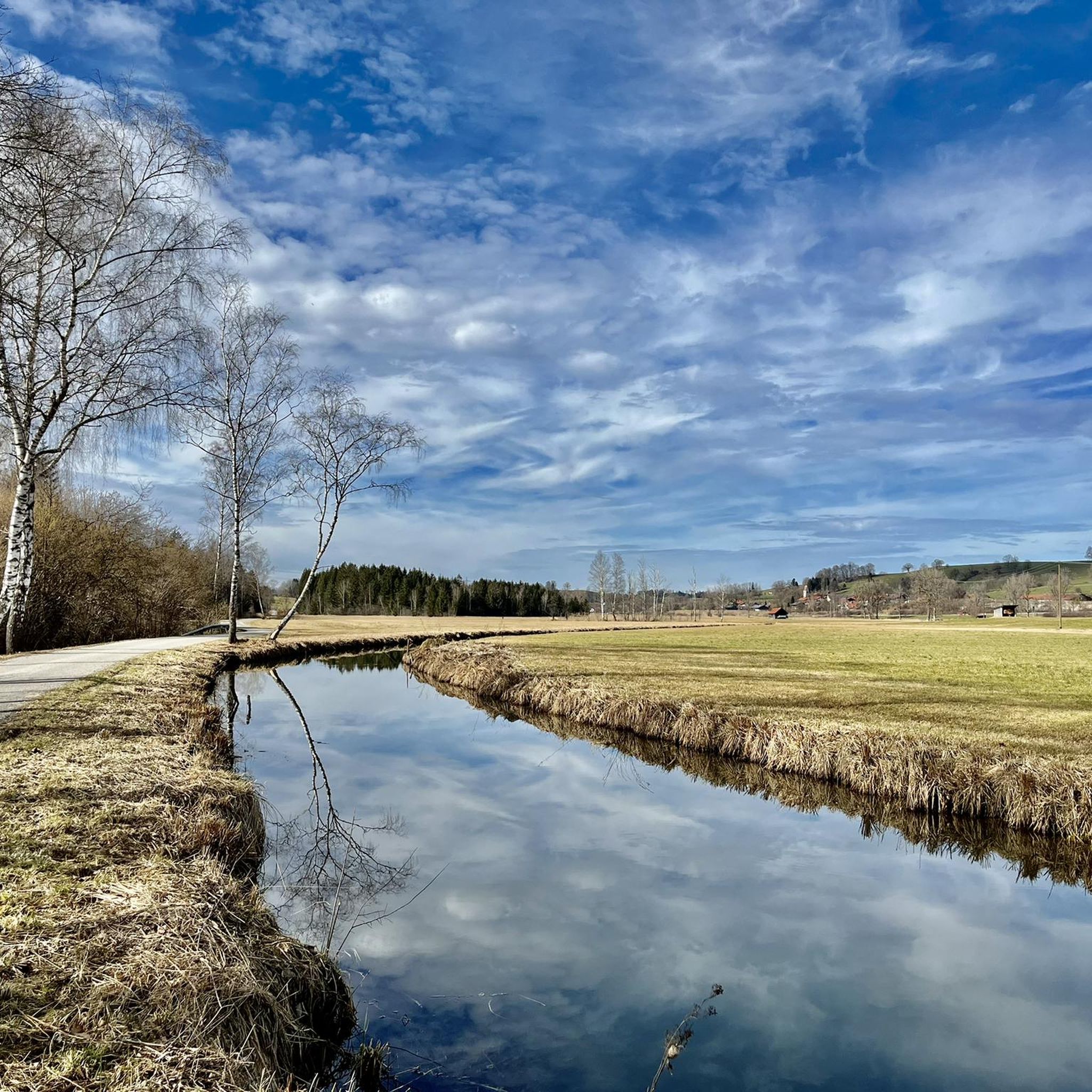
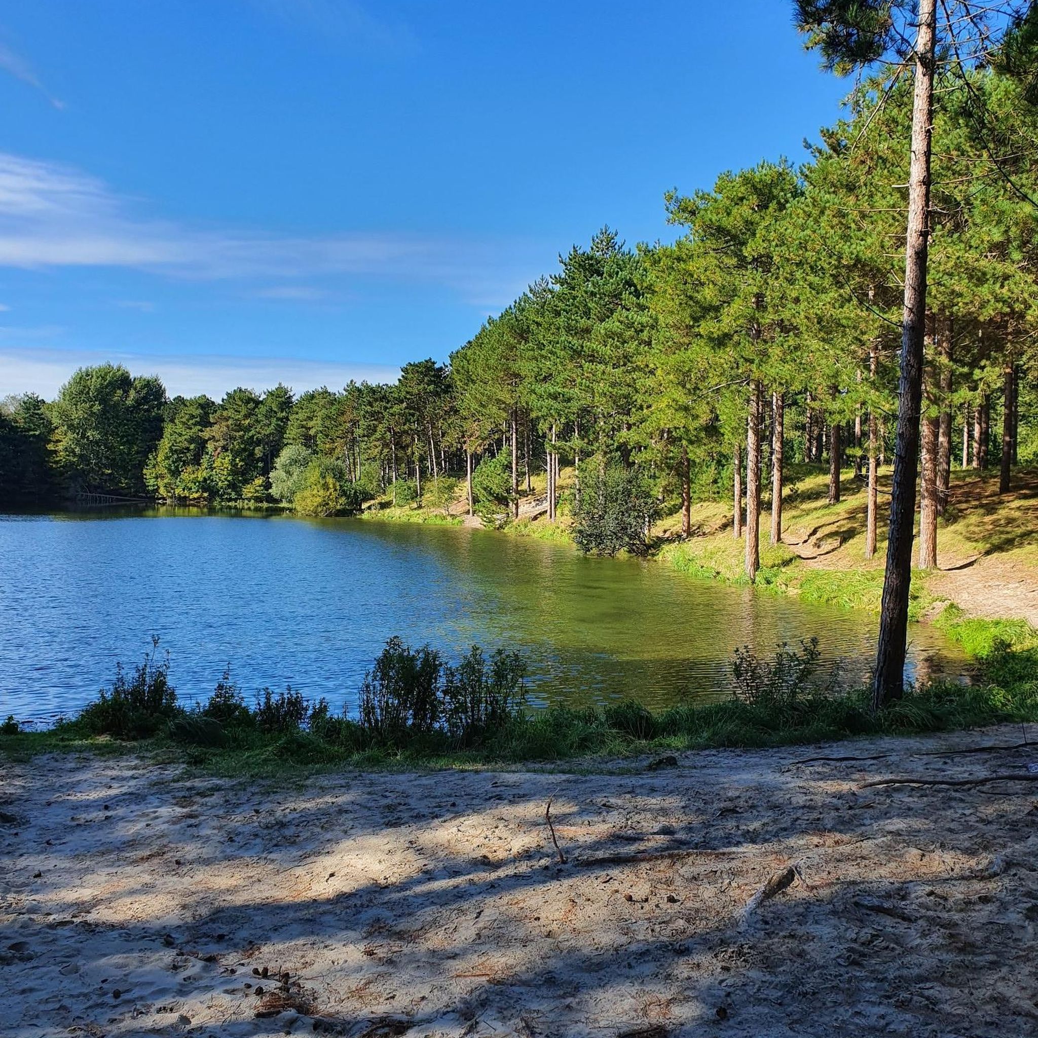
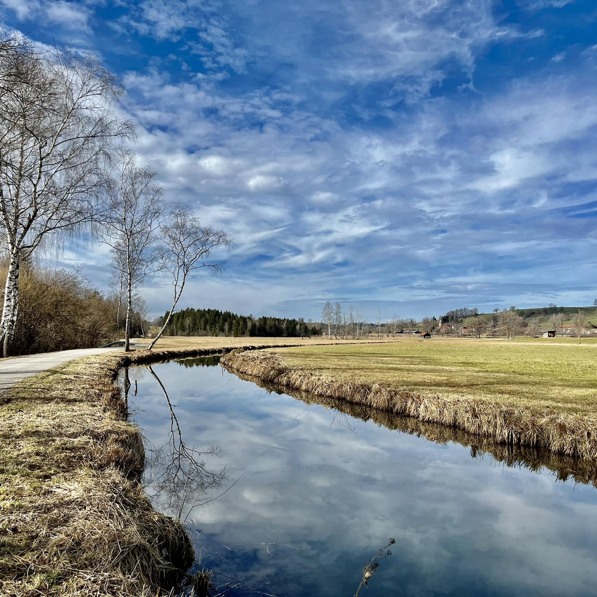
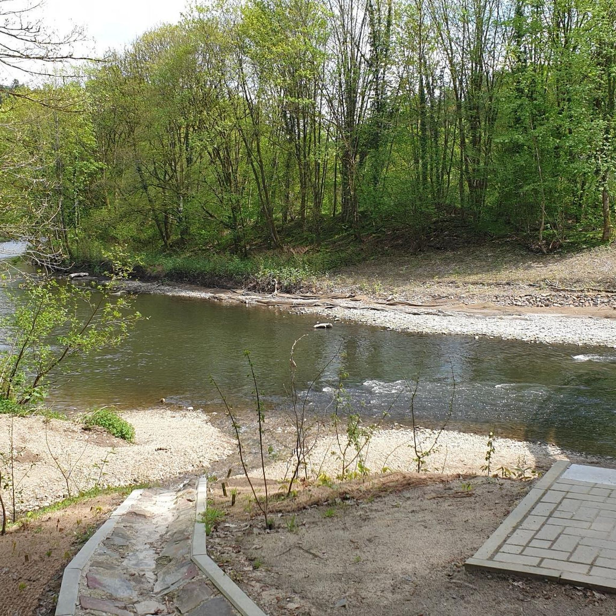
Tips from the Community

From Kochelsee to its mouth in the Isar It leaves the lake on its northern edge west of Kochel, passes Benediktbeuern and Penzberg and there definitively leaves the northern foothills of the Bavarian Alps. It still flows through Eurasburg and flows into the Isar north of Wolfratshausen in the Auwald Pupplinger Au. Source https://de.wikipedia.org/wiki/Loisach
2
0
From the source to the Bavarian border The Loisach rises in the state of Tyrol between the Lechtal Alps in the west and the Mieminger Mountains in the east, below and northeast of the Fern Pass. Its sources are located in the municipality of Biberwier, near the Mittersee lake, close to the B 179. From there, its water flows northwards through the Ehrwalder Becken and then along the B 187 through Ehrwald and westwards past the Zugspitze to the German border. From Garmisch-Partenkirchen to Kochelsee On the Bavarian side, it first passes Griesen in a northeasterly direction and then flows past Grainau to Garmisch, the largest district of Garmisch-Partenkirchen. Afterwards, it continues north between the Ammergau Alps in the west and the Estergebirge in the east. Via Farchant, Oberau and Eschenlohe, as well as past Ohlstadt and Murnau, the Loisach reaches Großweil, where it turns southeast and flows into the western part of Kochelsee near Schlehdorf, north of the Herzogstand. Source https://de.wikipedia.org/wiki/Loisach
3
0
The name is based on the Indo-Germanic root *leubʰ, meaning 'dear'. It is derived with an s as a suffix. The name refers to the pleasant course of the river.[3] Earlier name forms are Liubasa (1003), Lyubasa (ca. 1052), Liubisaha (1148–1155), Livbisaha (12th century), Liubsaha (1258), Leusach (1332), Leusach (1348), Lewsach (1424), Loysach (1536) and finally Loisach in 1553.[4] Source https://de.wikipedia.org/wiki/Loisach
3
0
The Loisach is a 113.2 km[1] long, south-southwesterly and left tributary of the Isar in Austria and Germany. It originates north of the Fern Pass in Tyrol and flows into the Isar after a northeasterly course near the Bavarian town of Wolfratshausen. Source https://de.wikipedia.org/wiki/Loisach
3
0
Definitely worth seeing
0
0
Definitely worth seeing
0
0

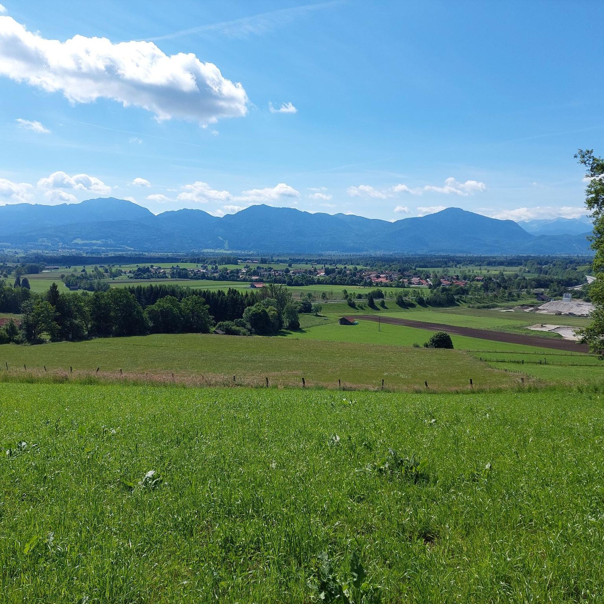
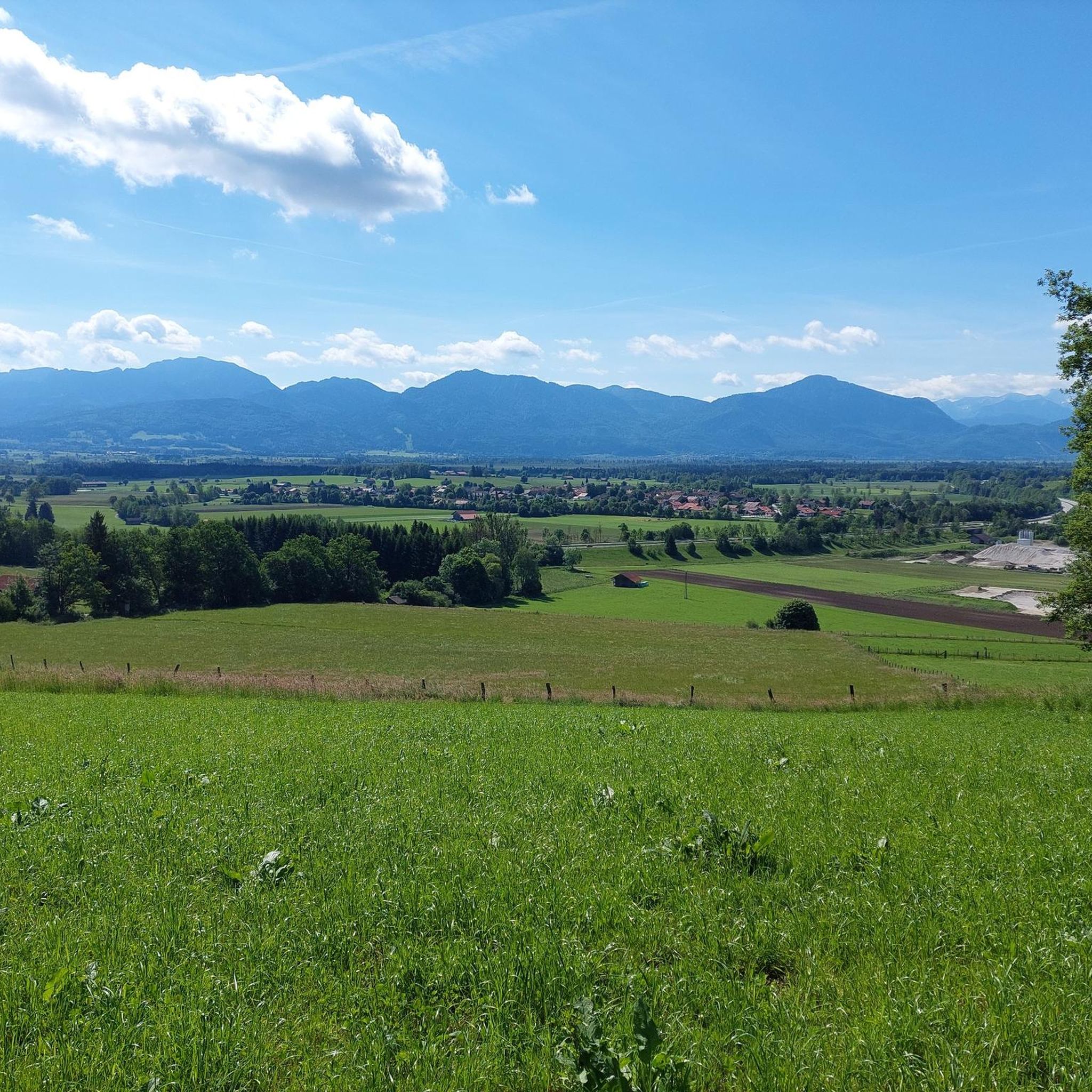
great places to enjoy the view
0
0
Frequently Asked Questions
How many touring cycling routes are available around Sindelsdorf?
There are over 18 touring cycling routes around Sindelsdorf, catering to various skill levels. You'll find 9 easy routes, 7 moderate routes, and 2 more challenging options to explore.
What kind of terrain can I expect on touring cycling routes near Sindelsdorf?
The terrain around Sindelsdorf is diverse, featuring the Bavarian Alpine foothills. You can expect a mix of gentle, picturesque routes along lakes like Kochelsee and Walchensee, rolling hills, and routes through moorlands such as the Loisach-Kochelsee Moor. Many paths are well-maintained and feature paved surfaces, suitable for touring and trekking bikes.
Are there any easy touring cycling routes suitable for beginners or families?
Yes, Sindelsdorf offers several easy touring cycling routes perfect for beginners or families. For example, the Sindelsdorf Alpine Panorama – Sindelsbach Trail and Bridge loop from Sindelsdorf is an easy 8.8-mile (14.2 km) path that provides pleasant alpine panoramas. Another gentle option is the Oberrieden Alpine Panorama – Riederner Pond loop from Sindelsdorf.
Can I find circular touring cycling routes in the Sindelsdorf area?
Yes, many touring cycling routes around Sindelsdorf are designed as loops, allowing you to start and end in the same location. Examples include the View of Zugspitze – Ohlstadt Alpine Panorama loop from Sindelsdorf and the Sindelsdorf – Höhlmühle Alpine Landscape loop from Sindelsdorf.
What natural features or landmarks can I see along the touring cycling routes?
The routes offer stunning natural beauty. You'll encounter idyllic lakes like Kochelsee and Walchensee, the unique Loisach-Kochelsee Moor, and the winding Loisach River. Prominent peaks such as the Hoher Peißenberg, Zwiesel Summit, and Jochberg Summit provide impressive backdrops. You might also discover the tranquil Jochberg Summit or the majestic Benediktenwand summit in the broader area.
Are there routes that offer panoramic views of the Alps?
Absolutely. The region is known for its expansive alpine panoramas. The View of Zugspitze – Ohlstadt Alpine Panorama loop from Sindelsdorf specifically offers views of the Zugspitze. Many routes provide continuous alpine vistas over the foothills, lakes, and forests, including the Promberger Hof Café at the Stern – View of the Garmisch Mountains loop from Sindelsdorf.
Is it possible to cycle with dogs on the routes around Sindelsdorf?
While specific dog-friendly route designations are not provided, many touring cycling routes in the natural landscapes around Sindelsdorf are suitable for cycling with well-behaved dogs, especially those that are less crowded or on wider paths. Always ensure your dog is on a leash where required and respect local wildlife and other trail users.
What are the options for parking when starting a touring cycling route in Sindelsdorf?
Sindelsdorf and the surrounding towns are generally well-equipped with parking options for outdoor enthusiasts. You'll typically find designated parking areas near trailheads or in village centers, especially in places like Kochel am See, which serves as a common starting point for many regional routes. Look for signs indicating public parking or specific cyclist parking.
How can I access the cycling routes around Sindelsdorf using public transport?
The region around Sindelsdorf benefits from good public transport connections, particularly with train lines that can accommodate bicycles. The Loisach Cycle Path, for instance, offers options to use trains for shorter stages or one-way tours. This allows for flexible planning, letting you combine cycling with train travel to explore different sections of the wider network.
What is the best time of year to go touring cycling in Sindelsdorf?
The best time for touring cycling in Sindelsdorf is generally from spring through autumn. During these seasons, the weather is most favorable, with pleasant temperatures and the landscape in full bloom or showcasing vibrant autumn colors. Summer offers longer daylight hours, while spring and autumn provide cooler temperatures and often fewer crowds.
Are there any longer or more challenging touring cycling routes for experienced cyclists?
Yes, while many routes are easy to moderate, there are options for more experienced cyclists seeking longer or more challenging rides. The region's connection to long-distance routes like the Loisach Cycle Path (100 km) and the Lake Constance-Königssee Cycle Path (410-460 km) means you can access sections that offer greater distances and varied elevation profiles, providing a rewarding challenge.
Where can I find places to eat or stay overnight along the cycling routes?
The region around Sindelsdorf is cyclist-friendly, with various options for refreshments and accommodation. You'll find cafes and restaurants in charming towns along the routes, such as the Promberger Hof Café at the Stern. For overnight stays, look for "Bett+Bike" certified accommodations, which cater specifically to cyclists with amenities like secure bike storage and hearty breakfasts, prevalent along major cycling routes in Bavaria.
What do other cyclists say about the touring routes in Sindelsdorf?
The touring cycling routes in Sindelsdorf are highly rated by the komoot community, with an average score of 4.8 stars from over 27 reviews. Cyclists often praise the diverse landscapes, from serene lake shores to panoramic alpine views, and appreciate the well-maintained paths that make for enjoyable rides.
Most popular routes around Sindelsdorf
Most popular attractions around Sindelsdorf

Get inspired with the komoot mobile app


Explore more
Browse the best Cycling routes in other regions.
