The best walks and hikes around Perosa Argentina
4.4
(1458)
7,737
hikers
16
hikes
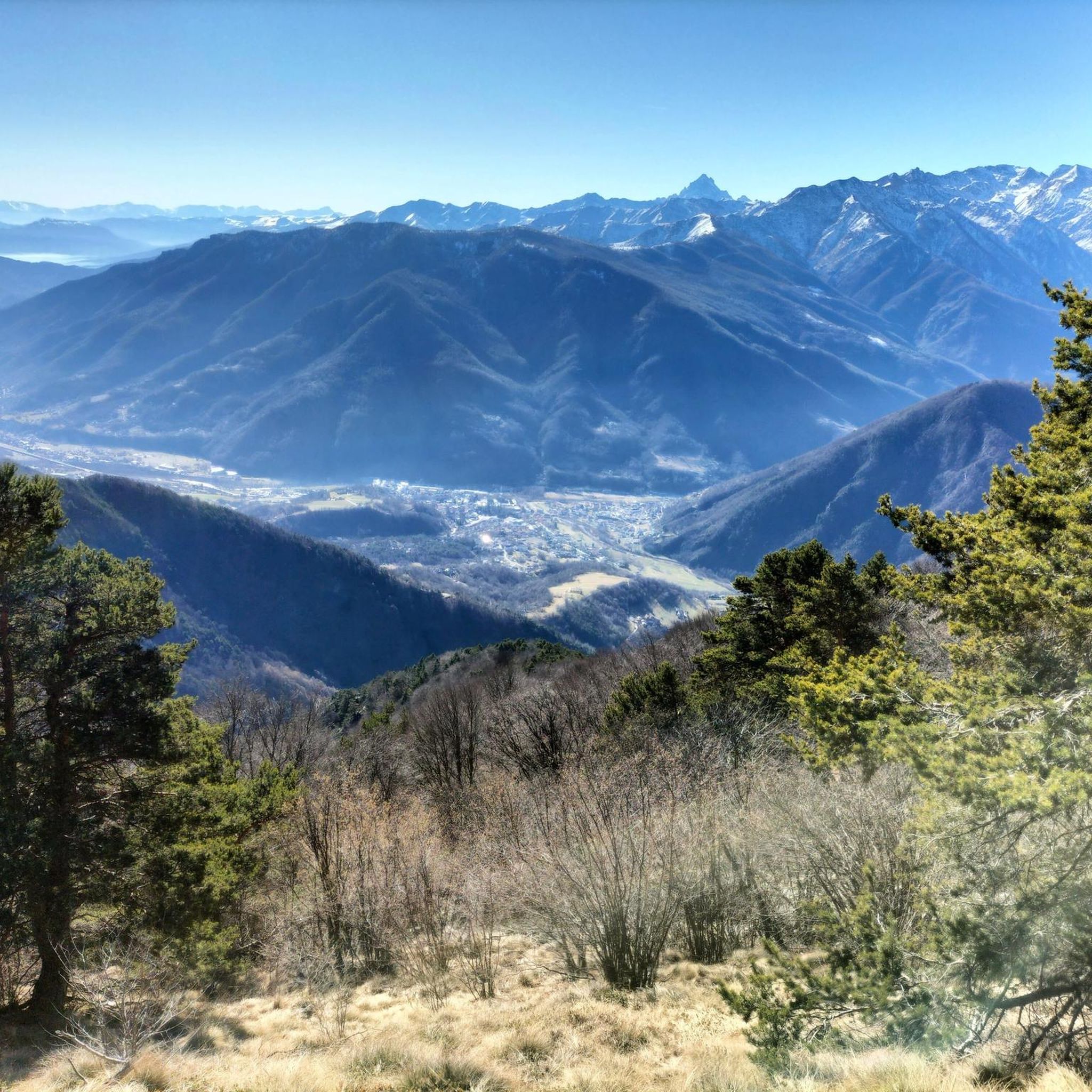
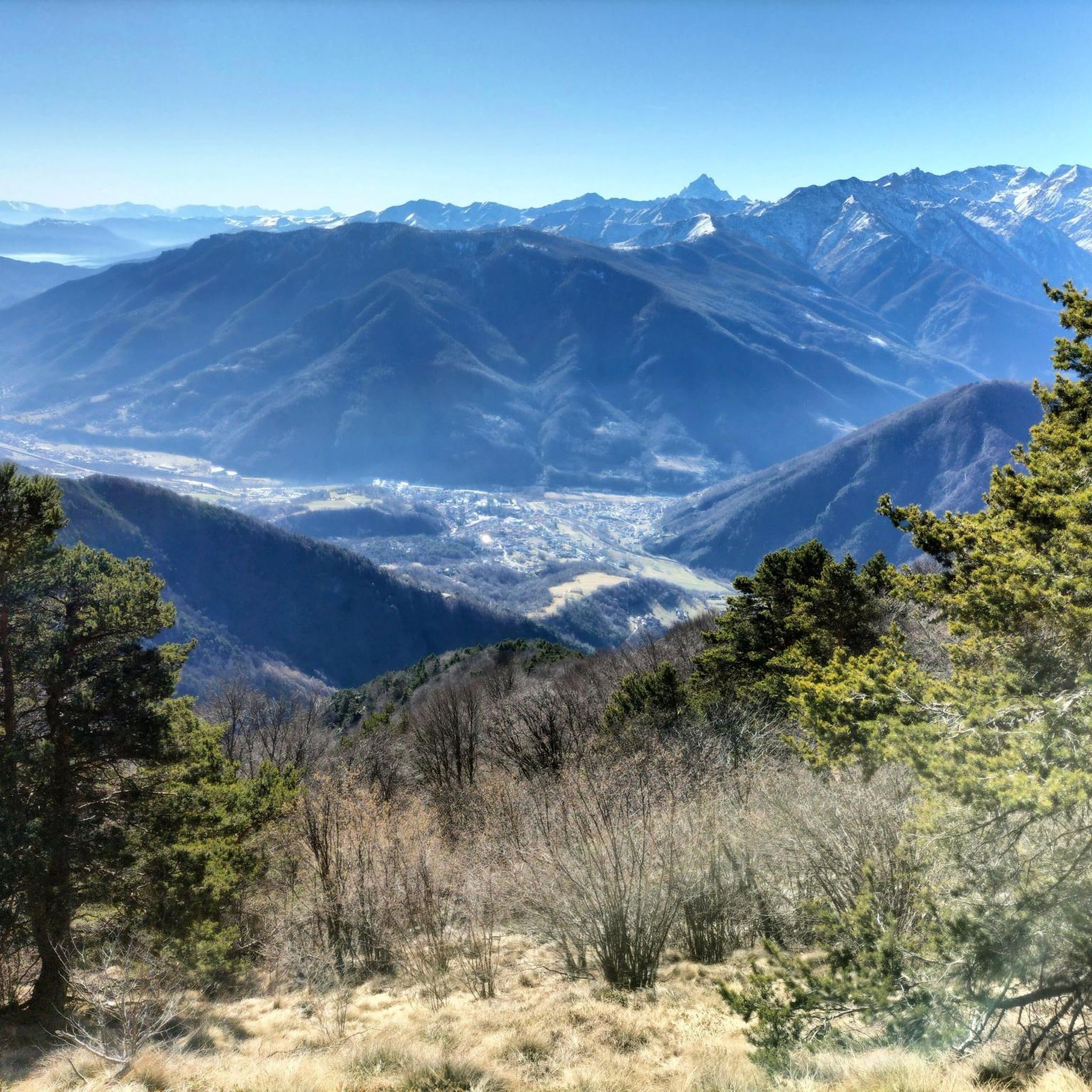
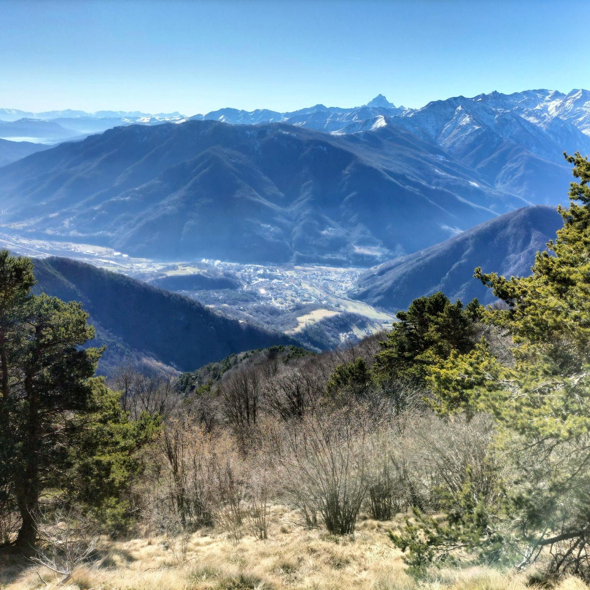
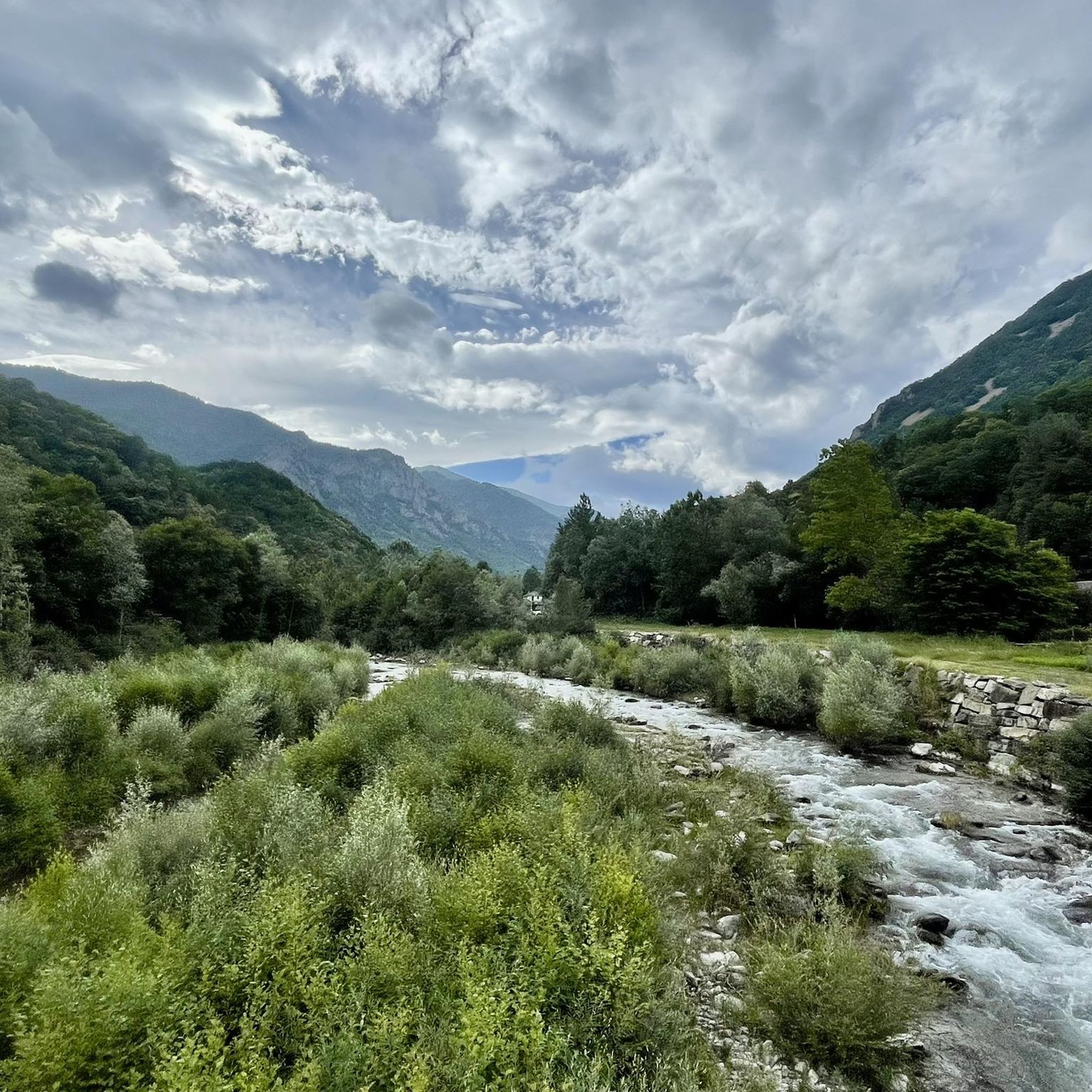
Hiking around Perosa Argentina, nestled in Italy's Val Chisone, offers access to a diverse and rugged natural landscape. The region is characterized by mountainous terrain, stony features, and significant peaks such as Monte Freidour and Punta dell'Aquila. Extensive forest sections, including beech and birch trees, cover many slopes, enhancing the scenic beauty. The area also features natural pools known as "tumpi" and historical elements like ancient silver mines on Bocciarda Mountain.
Best hiking trails around Perosa Argentina
- The most popular…
Last updated: July 9, 2026
5.0
(1)
1
hikers
13.9km
07:37
1,380m
1,380m
Hard hike. Very good fitness required. Mostly accessible paths. Sure-footedness required.
4.1
(8)
36
hikers
10.3km
04:02
650m
650m
Moderate hike. Good fitness required. Mostly accessible paths. Sure-footedness required.

Sign up for free
4.5
(4)
11
hikers
6.88km
02:02
200m
200m
Moderate hike. Good fitness required. Easily-accessible paths. Suitable for all skill levels.
3.0
(2)
16
hikers
20.0km
07:05
1,110m
1,110m
Hard hike. Very good fitness required. Mostly accessible paths. Sure-footedness required.
3.9
(8)
10
hikers
3.74km
01:36
280m
280m
Moderate hike. Great for any fitness level. Mostly accessible paths. Sure-footedness required.
Get access to more routes and recommendations from other explorers.
Sign up for free
Already have an account?
Our route recommendations are based on thousands of hikes, rides, and runs completed by other people on komoot.
Start today with a free account
Your next adventure awaits.
Login or Signup

Tips from the Community


To reach the bench, you have to walk along a path for the last stretch, leaving your bike near the road, which actually continues for a bit, but as I climbed, I didn't get the impression that it reached the bench.
0
0

In the middle of the vineyards
0
0


Cima Monte Cuccetto is located at 1700 m above sea level and is in fact one of the most beautiful peaks, the effort to get there is rewarded by the breathtaking views that the summit offers.
0
0

Last stretch to be done on foot
0
0

Municipality of Val Chisone, its name indicates the presence of stones (pear in Piedmontese) "Perosa" and silver "Argentina". In fact, there were mines of precious metal.
3
0

Small pool below the waterfall where you can cool off. Swimming not possible as it is quite shallow
1
0
Frequently Asked Questions
How many hiking trails are available around Perosa Argentina?
Perosa Argentina offers a diverse network of 17 hiking trails. These routes cater to various skill levels, including 3 easy, 10 moderate, and 4 difficult options, ensuring there's a suitable path for every hiker.
Are there any easy hiking trails suitable for beginners or families?
Yes, there are 3 easy hiking trails around Perosa Argentina. While specific routes are not detailed as 'easy' in the main guide, the region's extensive network includes options for less strenuous walks. For a moderate, family-friendly option that offers panoramic views and a unique landmark, consider the Big Bench Perosa Argentina loop from Perosa Argentina, which is 6.9 km long.
What kind of natural features can I expect to see on hikes in Perosa Argentina?
The region is characterized by rugged mountainous terrain, stony landscapes, and significant peaks like Monte Freidour and Punta dell'Aquila. You'll also find extensive forest sections, often covered with beech and birch trees. Unique natural features include 'tumpi' (small natural pools) and waterfalls, such as the Cascata della Pissa, which can be explored on routes like the Waterfall Near Usseglio loop from Perosa Argentina.
Are there any circular hiking routes in Perosa Argentina?
Yes, many of the trails around Perosa Argentina are circular. Popular options include the moderate Big Bench Pomaretto loop from Perosa Argentina and the Big Bench Perosa Argentina loop from Perosa Argentina. For a more challenging circular route, consider the Mount Cucetto – Borgata Pralamar loop from Perosa Argentina.
What are some notable landmarks or attractions to look out for while hiking?
Hikers can discover several interesting landmarks. The region features unique 'Big Bench' installations, such as the Big Bench Perosa Argentina and the Big Bench Pomaretto, offering great photo opportunities. You can also find historical elements like ancient silver mines on Bocciarda Mountain. For panoramic views, Colle Vaccera is a noteworthy spot, and the Monte Freidour RAF Memorial offers a poignant point of interest.
Are there mountain huts or refuges along the trails for rest or overnight stays?
Yes, the area around Perosa Argentina has mountain huts that can serve as stops or for overnight stays on longer treks. Notable examples include Selleries Hut and Toesca Hut. The Trail 344 to Rifugio Alpini specifically leads to a mountain refuge.
What do other hikers say about the trails in Perosa Argentina?
The hiking trails in Perosa Argentina are highly regarded by the komoot community, with an average score of 4.5 stars from over 1300 reviews. Hikers often praise the varied terrain, from dense forests to challenging mountain ascents, and the scenic beauty of the Val Chisone.
Can I find trails that lead to lakes or natural pools?
Yes, the region is home to several beautiful lakes and natural pools. While specific routes to each are not detailed here, you can explore areas with highlights such as Lake Lauson, Red Lake, Lake Laus, Lake Manica, and Lago Ciardunet. The local waters also form 'tumpi,' which are small natural pools.
Are there any challenging or advanced hiking routes for experienced hikers?
Absolutely. Perosa Argentina offers 4 difficult trails for experienced hikers seeking a challenge. Routes like the Trail 344 to Rifugio Alpini (via Torrazza ruins), with its significant elevation gain, and the Mount Cucetto – Borgata Pralamar loop from Perosa Argentina are designed for those looking for more strenuous climbs and longer distances.
What is the best time of year to go hiking in Perosa Argentina?
Perosa Argentina is generally best for hiking from spring through autumn. During these seasons, the weather is more favorable, and the trails are typically clear of snow, allowing access to the higher peaks and panoramic viewpoints. Summer offers lush greenery, while autumn provides stunning foliage.
Are there opportunities for wildlife spotting on the trails?
Given its proximity to the Orsiera-Rocciavrè Natural Park and its extensive forest sections, Perosa Argentina offers good opportunities for wildlife spotting. Hikers might encounter various bird species and other local fauna, especially in the quieter, more remote areas of the trails.
Are there any historical or cultural routes in addition to natural trails?
Beyond purely natural trails, Perosa Argentina offers itineraries that delve into its history. You can explore the village's ancient architecture and cultural heritage, and some routes provide insights into the border of the ancient Dauphiné. The presence of ancient silver mines on Bocciarda Mountain also adds a unique historical dimension to the landscape.
Most popular routes around Perosa Argentina
Most popular attractions around Perosa Argentina

Get inspired with the komoot mobile app


Explore more
Browse the best Hikes in other regions.
