The best walks and hikes around Sinn
4.7
(605)
1,972
hikers
123
hikes
Hiking around Sinn offers diverse trails within the Lahn-Dill district of Hesse, Germany. The municipality is situated at the foot of the Westerwald range, providing varied landscapes for outdoor activities. Hikers can explore the Dill valley and the adjacent Lahn-Dill-Bergland natural park, characterized by forests and hills. The region features numerous paths, primarily through shaded woodlands, with some routes including significant ascents.
Best hiking trails around Sinn
- The most popular hiking route is Bench by the Fleisbach – Fleisbach Valley…
Last updated: August 14, 2026
4.5
(46)
135
hikers
11.0km
03:05
220m
220m
Moderate hike. Good fitness required. Easily-accessible paths. Suitable for all skill levels.
4.7
(23)
51
hikers
6.50km
01:54
180m
180m
Easy hike. Great for any fitness level. Easily-accessible paths. Suitable for all skill levels.

Sign up for free
4.5
(21)
53
hikers
6.61km
01:56
190m
190m
Easy hike. Great for any fitness level. Easily-accessible paths. Suitable for all skill levels.
4.6
(11)
32
hikers
11.5km
03:21
310m
310m
Moderate hike. Good fitness required. Easily-accessible paths. Suitable for all skill levels.
4.2
(6)
25
hikers
Moderate hike. Good fitness required. Easily-accessible paths. Suitable for all skill levels.
Get access to more routes and recommendations from other explorers.
Sign up for free
Already have an account?
Our route recommendations are based on thousands of hikes, rides, and runs completed by other people on komoot.
Start today with a free account
Your next adventure awaits.
Login or Signup

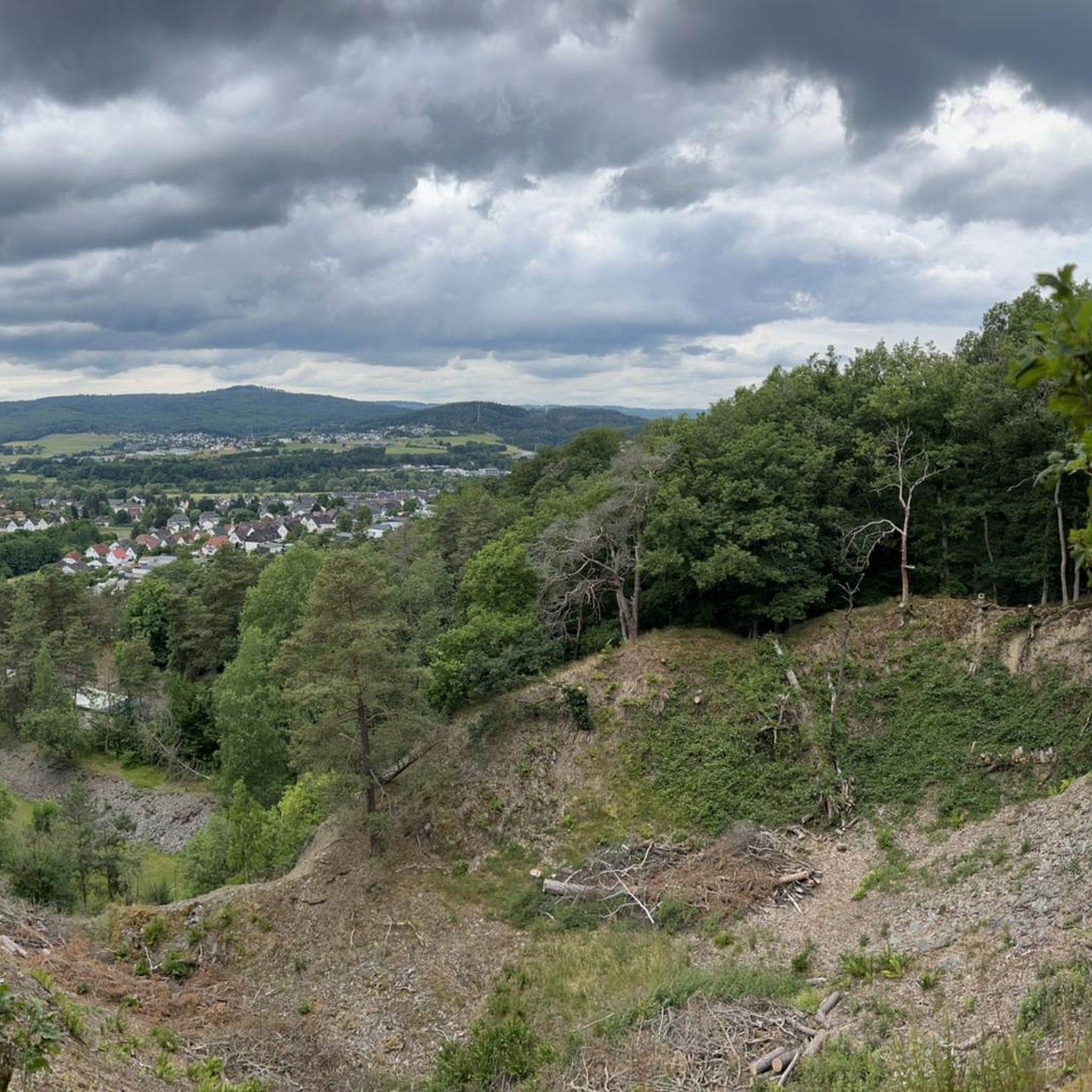
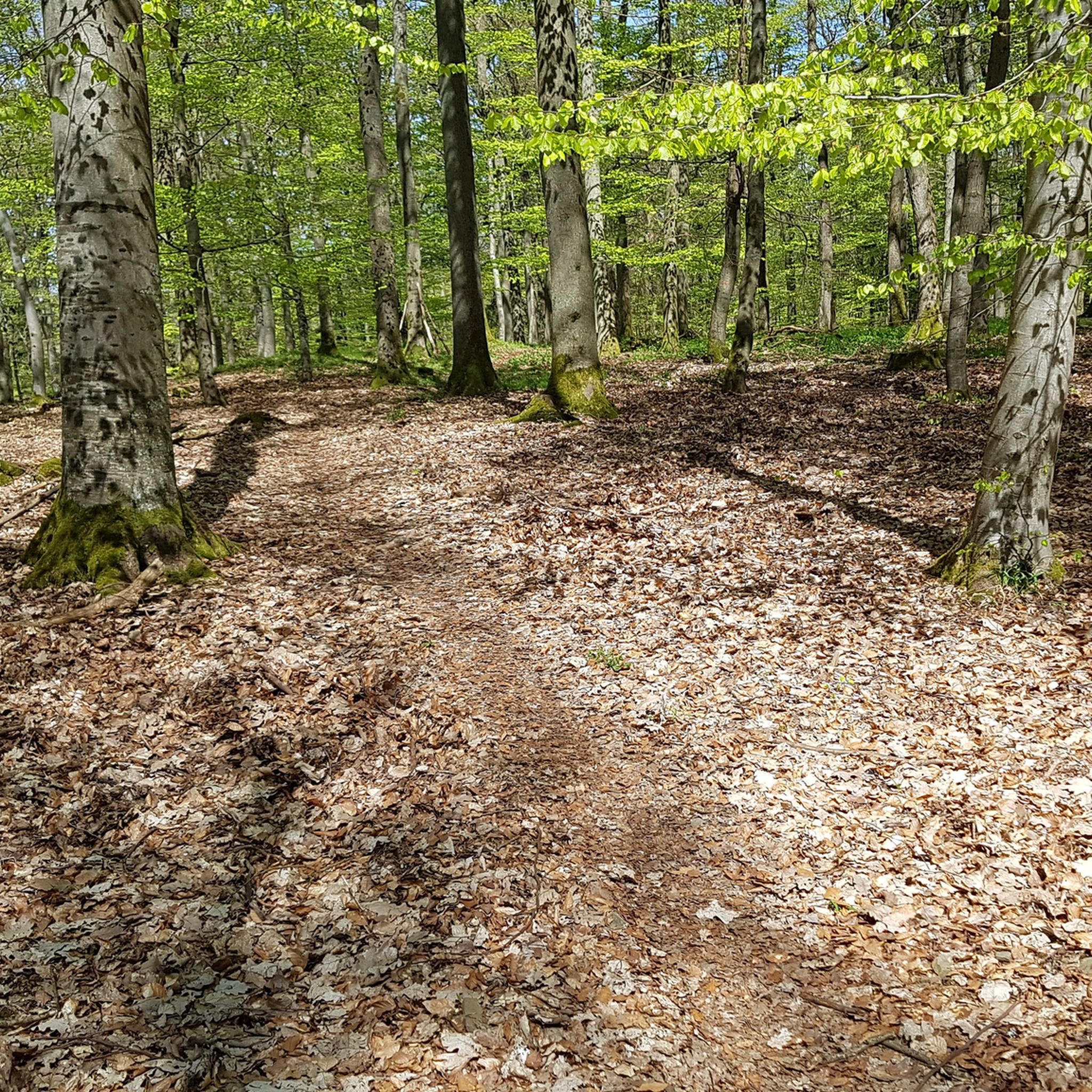
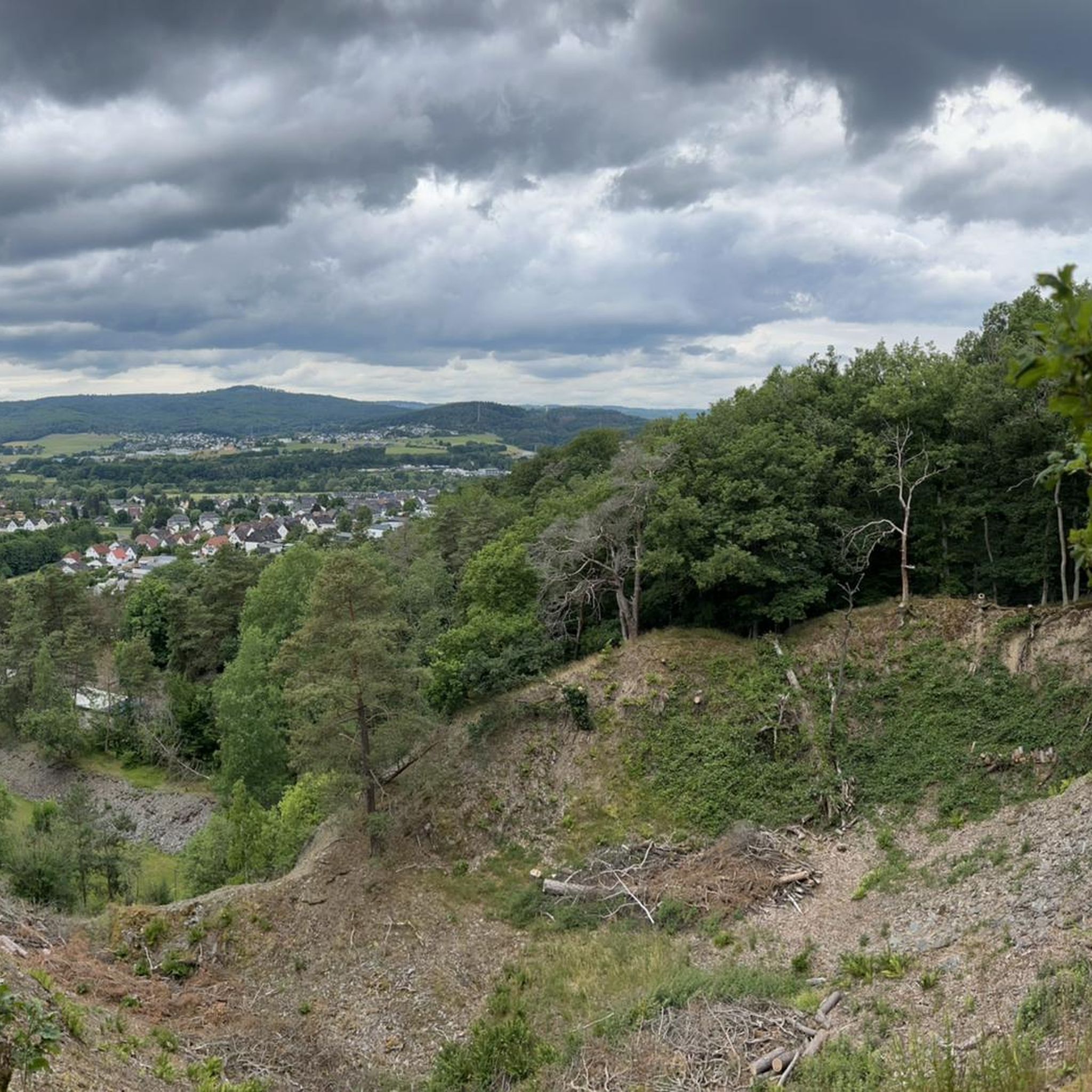
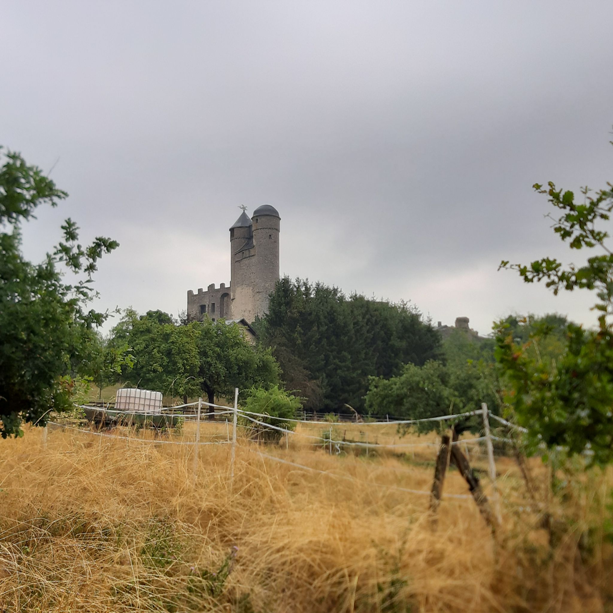

Tips from the Community

Interesting story from the 18th century
1
0
Beautiful cabin with an amazing view
1
0

There used to be a ski lift next to the cabin. Now there's too little snow in winter. There are plenty of benches around the cabin for a break with a panoramic view.
1
0

A rather unusual construction of a rest area...
0
0
The path is also very popular with wild boars ;-)
0
0

Super short route...
0
0

Frequently Asked Questions
How many hiking trails are available around Sinn?
There are over 100 hiking routes in the Sinn area, offering a wide variety of options for different skill levels and preferences. You'll find everything from easy strolls to more challenging treks through the region's diverse landscapes.
What kind of terrain can I expect when hiking around Sinn?
The terrain around Sinn is characterized by the forested hills of the Westerwald range and the scenic Dill valley. Hikers can expect numerous paths primarily through shaded woodlands, with some routes including significant ascents. The region is part of the Lahn-Dill-Bergland natural park, known for its natural beauty.
Are there easy hiking trails suitable for beginners or families in Sinn?
Yes, Sinn offers many easy hiking trails perfect for beginners or families. Approximately 65 of the routes are rated as easy. A great option is the Bench by the Fleisbach – Fleisbach Valley loop from Lahn-Dill-Kreis, which is 4.0 miles (6.5 km) long and explores the scenic Fleisbach Valley.
Are there more challenging hiking routes around Sinn?
While most trails are easy to moderate, there are a few more challenging options for experienced hikers. The region's varied elevation, with some significant ascents, provides opportunities for more strenuous walks. There are 2 routes rated as difficult in the area.
Are there circular hiking routes in Sinn?
Yes, many of the hiking routes around Sinn are circular, allowing you to start and end at the same point. For example, the View of Lahn-Dill-Bergland – View of Sinner Klippen loop from Sinn is an easy 4.1-mile (6.6 km) circular path offering scenic views.
What natural attractions or landmarks can I see while hiking near Sinn?
While hiking near Sinn, you can discover several natural attractions and landmarks. Notable natural features include the Bartenstein Rock Formation and the Kölschhäuser Koppe. You might also encounter the Aartalsee Dam or the Leun Footbridge.
Are there any historical sites or cultural attractions to explore in Sinn?
Yes, in Sinn itself, you can visit the historic Villa Haas, a manor house built in 1892 with a beautiful historicist park featuring over a hundred different plant species. Nearby, you could also explore the Dianaburg.
What do other hikers enjoy most about the trails in Sinn?
The trails around Sinn are highly rated by the komoot community, with an average score of 4.7 stars from over 350 reviews. Hikers often praise the quiet, shaded forest paths, especially during warmer weather, and the diverse landscapes of the Westerwald range and Dill valley.
Are there any good viewpoints or scenic spots on the trails around Sinn?
Many trails offer excellent viewpoints. The View of Lahn-Dill-Bergland – View of Sinner Klippen loop from Sinn specifically highlights scenic vistas. Additionally, the Altenberg Observation Tower is a popular viewpoint in the broader area.
Is it possible to find longer hiking routes in the Sinn area?
Yes, for those looking for longer excursions, there are moderate routes available. For instance, the Fleisbach Valley – Dill Valley Viewpoint loop from Edingen is a 7.2-mile (11.5 km) trail that typically takes about 3 hours 20 minutes to complete, leading through both the Fleisbach and Dill Valleys.
What is the best time of year to hike in Sinn?
Sinn offers pleasant hiking experiences throughout much of the year. The shaded forest paths are particularly appealing during warmer weather, providing a cool escape. Spring and autumn also offer beautiful scenery with changing foliage.
Are the hiking trails around Sinn dog-friendly?
Generally, the natural trails and forest paths around Sinn are suitable for dogs. However, it's always recommended to keep dogs on a leash, especially in nature reserves or areas with wildlife, and to respect local regulations.
Where can I find parking for hiking trails in Sinn?
Many trailheads in and around Sinn offer designated parking areas. Specific parking information is often available on individual route pages on komoot, or you can look for public parking facilities within the municipality.
Most popular routes around Sinn
Most popular attractions around Sinn

Get inspired with the komoot mobile app


Explore more
Browse the best Hikes in other regions.
